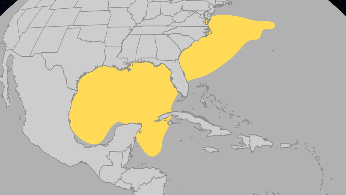
The Atlantic hurricane season runs from June to Nov., and while June is historically a light month, we do see some storms. Meteorologist Rob Shackelford breaks down how tropical systems can form early in the season, where they are most likely to and some prominent examples of noteworthy June storms.
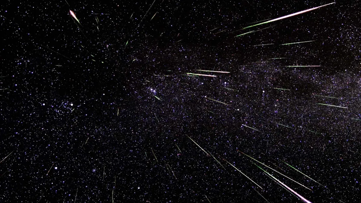
(NASA)The 2026 Perseid meteor shower is shaping up to be one of the best celestial displays in years, with peak activity occurring during a new moon that promises completely dark skies for optimal viewing conditions. Here's the best night to watchThe Perseid meteor shower officially runs from July 17 through Aug. 24, but the peak viewing window falls on the night of Aug. 12-13, coinciding precisely with a new moon phase. This rare alignment eliminates all moonlight interference, creating ideal conditions for spotting the shower's characteristic bright, fast-moving meteors. According to NASA, observers under dark skies can expect to see up to 100 meteors per hour during peak activity, with rates building throughout the night and reaching maximum intensity in the pre-dawn hours between 2 a.m. and 6 a.m. local time. The weather connection: atmospheric drama at 3,000 degreesWhen Perseid meteoroids, which are actually tiny debris fragments from Comet Swift-Tuttle, slam into Earth's atmosphere at 37 miles per second, they create a spectacular atmospheric light show.
A man watches the sun blocked by the moon during an annular solar eclipse in Puerto San Julian, Santa Cruz, Argentina, on Oct. 2, 2024. (Photo by JUAN MABROMATA/AFP via Getty Images)Witnessing a total solar eclipse is an experience that tops many a bucket list, but there's one very important thing you have to remember before you run outside to stare at the sun: It should never be done without the proper eye protection. For those who are lucky enough to be in the path of one of the rarest celestial moments, here are some things to check off your safety checklist before you attempt to check this experience off your bucket list. Unprotected eyes can mean serious, permanent damageAnd it only takes a few seconds, as one woman learned in 2017. According to SpaceDaily, 26-year-old Nia Payne was in Staten Island, New York, and witnessed a partial solar eclipse. She looked at the sun for only about six seconds, the report said, but it was long enough to do permanent vision damage.(MORE: Will weather let you see the solar eclipse in Europe, Canada and the US?)How bad?
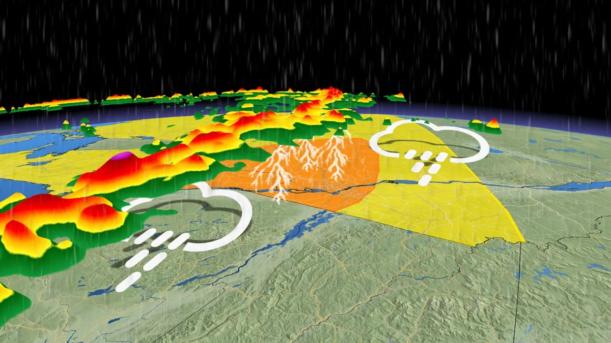
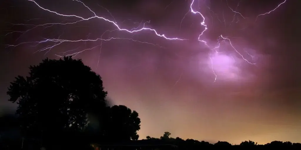
After a quiet start to the week across southern and eastern Ontario, forecasters are watching a robust system moving across the Great Lakes that could trigger severe weather in eastern Ontario as it moves into Quebec on Thursday. Keep an eye out for severe weather alerts through Thursday, as the severe weather environment will build with daytime heating. SEE ALSO: This week's Full Moon will produce a 'nearly-total' lunar eclipse in the skyStorm threat moves into eastern Ontario, Quebec on ThursdayThe stormy system is forecast to lift into eastern Ontario on Thursday, eventually making its way into Ottawa and central Quebec, as well as the Eastern Townships by the afternoon to evening hours. The best environment for severe weather is expected to be east of Montreal, where there should be ample atmospheric moisture, high wind shear, and high atmospheric spin. Once again, this could support the development of brief supercell thunderstorms, raising the tornadic threat. The atmosphere should reach its most unstable point just before the evening commute begins. That means folks heading home from work may run into strong thunderstorms that could impact commute times.
FILE: July 4 heat wave shatters more than 148 records across the eastern US The historic heat dome that broiled the eastern U. S. over the July 4 holiday weekend shattered records across the eastern U. S. At least 148 daily high-temperature records were set between June 30 and Sunday, July 5. Notably, Washington, D. C., broke the record for the warmest July 4 with a high temperature of 103 degrees. Philadelphia recorded three consecutive days above 101 degrees for the first time in its history. Atlantic City, New Jersey tied its all-time hottest temperature of 106 degrees on Saturday. THE TAKEAWAYExtreme heat affects the quality of learning for students. Recent studies have shown lower test scores on hot days. Extreme heat exposure can impact students’ attention, memory and ability to learn. As school slowly starts for thousands of kids across the country, experts worry about the never-ending heat students endure during the school year and how it threatens quality learning. The sweltering heat students experience at the start of the school year and in the spring can be a major distraction when trying to keep kids focused from elementary school through high school.
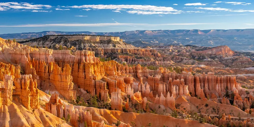
FILE: Bryce Canyon National Park a stunning national playground FOX Weather’s Robert Ray visits Utah’s Bryce Canyon National Park which is known for its unique rock formations called hoodoos, expansive hiking trails and breathtaking views of the natural landscape as part of our week-long celebration of National Parks Week. THE TAKEAWAYFlash flooding swept through Bryce Canyon National Park on Monday. Nearly a dozen people from different hiking groups had to be rescued. The flash flooding comes amid peak monsoon season, which occurs during August and September. Eleven people in four different hiking groups visiting Bryce Canyon National Park on Monday were rescued after flash flooding swept through the park. The hikers were rescued after heavy rain caused flash flooding along several of the national park's popular trails, leaving them trapped, according to FOX 13 Salt Lake City. KILAUEA PUTS ON FIERY SHOW AS 54TH ERUPTION EPISODE SENDS LAVA FOUNTAINS SOARINGNone of the hikers were swept away by the rushing waters, but conditions wouldn't allow them to continue. Chaco Culture National Historical Park hosts a large concentration of ancient pueblos.
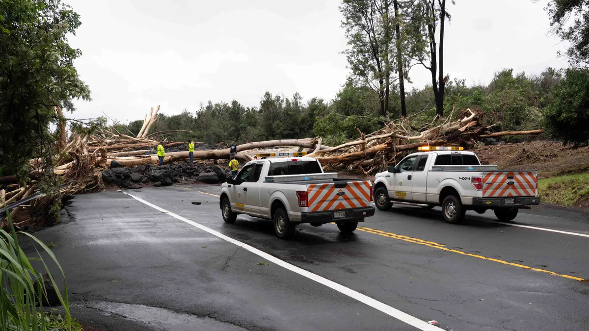
When Mother Nature strikes, local government goes to workIf you ever need a reminder of what local government actually does, look no further than the aftermath of a major storm. When severe weather tears through a community, the first signs of recovery are often small: a tree being hauled off a road, a police officer directing traffic, crews clearing debris. This is what local governments do, and why they're usually the first line of response when disaster strikes. Municipal crews clear streets and public spaces. Police and emergency responders manage dangerous areas. Officials can open shelters, communicate emergency information and, when necessary, issue curfews to keep people safe. Police officers remove debris strewn across Daniel K. Inouye Highway the day after Hurricane Lala near Waimea, Hawaii, Sunday, Aug. 16, 2026. The Category 1 hurricane brought heavy rain and strong winds to the island of Hawaii before moving away without making landfall.(Stephen Lam/San Francisco Chronicle via Getty Images)We're seeing it play out right nowTake Indiana, for example. A powerful derecho tore across the state last week, bringing widespread wind damage and flooding.
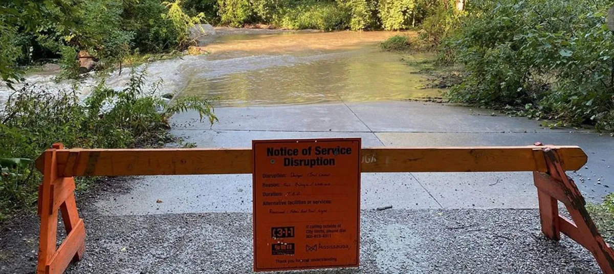
Frequent flooding has significantly impacted the Culham Trail at Riverwood Conservancy in Mississauga, resulting in portions of the multi-use path being closed since 2024. On August 22, officials announced a $5.2-million federal investment to reconstruct nearly four kilometres of the popular trail, which is used by over 500,000 people annually.
This initiative could offer a model for how municipalities can build more resilient infrastructure in the futureA key focus of the reconstruction will involve elevating the trail to the five-year flood level to mitigate future flood damage. Reinforcements to riverbanks, improvements to boardwalks, and the addition of benches, signage and enhanced landscaping are also part of the project. “This investment will make the trail more resilient and accessible for the community,” said Joe Horneck, Mississauga Ward 6 Councillor.
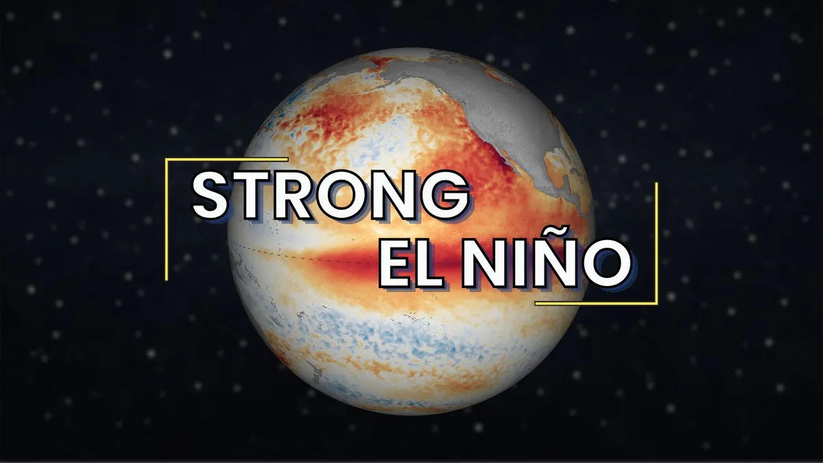
How a strengthening El Niño typically shapes September weatherSeptember in the U. S. might take on some weather themes seen during past intensifying El Niños, including impacts on temperatures, rainfall and what's typically the Atlantic hurricane season's peak month. As we've hit on since last spring, this still-strengthening El Niño could be a record-setter by later this year. While it's not the only impact on weather, it will probably exert a significant influence in September. So what could this mean for you? We examined the six previous El Niños since 1950 that eventually reached "super" status. While that doesn't mean it may hold true this September, here's what those past Septembers have looked like. Who could be hotAs the map below shows, taking the six past super El Niños together:The Southern and Central Plains into the Northeast tend to be warmer than average. Much of the western and northwestern U. S. tends to be cooler than average. However, during the last bullish El Niño in 2015, America had its second hottest September in 121 years, according to NOAA.
Panama is now the third Central American country to declare a state of emergency regarding the upcoming El Niño. SEVERE: Hundreds missing as flood strikes Nepal-Tibet border; 95 bodies recoveredPanama joins El Salvador and Honduras in declaring an emergency, with El Niño expected to strengthen going into October and continue into March 2027. This all comes as average global temperatures reached a new record over the weekend. Average sea temperatures climbed to 21.1°C on Friday and Saturday. The former all-time high was 21.09°C, set back in March 2024. El Niño effect on Central AmericaThe timing of the new record high is significant, since global ocean temperatures normally peak during summer in the Southern Hemisphere. That means the usual peak is between March and April, but this new record came in August. This isn’t just a mismatch in what we’re used to seeing either; it has already had a major impact on multiple countries. On Tuesday, Panama declared its nationwide state of emergency, citing the risk of drought, floods, agriculture and energy supply. It also included the possible effects on the Panama Canal, a major shipping route.
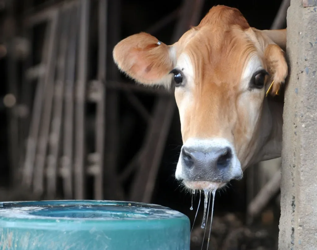
Heat cuts cows’ milk output, and can even lower future productionIt's been a hot summer. That extreme heat of U. S. summers can have a huge effect on dairy cows, which can impact the dairy industry. Here's how, and how farmers help negate some of the problems caused by heat. Reduced outputHeat stress can cause a reduction in milk output by as much as 20%, because cows tend to eat less when it's hot and they have to spend more energy cooling off, according to Dr. Geoffrey Dahl, professor in the Department of Animal Sciences at the University of Florida.(MORE: How farmers keep cows cool during a heat wave)“Their body temperature normally is about 3 degrees hotter than ours because that fermentation process of their digestive system produces a lot of heat," Dahl said. Hot cows at Way-Har Farm in Upper Tulpehocken, Pennsylvania. Cows drink 50 gallons of water a day and more when it is very hot.(Photo By Susan L. Angstadt/MediaNews Group/Reading Eagle via Getty Images)Generations affectedOne heat wave this summer can severely reduce a pregnant cow's productivity. Get More of Our News on GoogleSet The Weather Company as a 'Preferred Source' to get quicker access to the news you value.
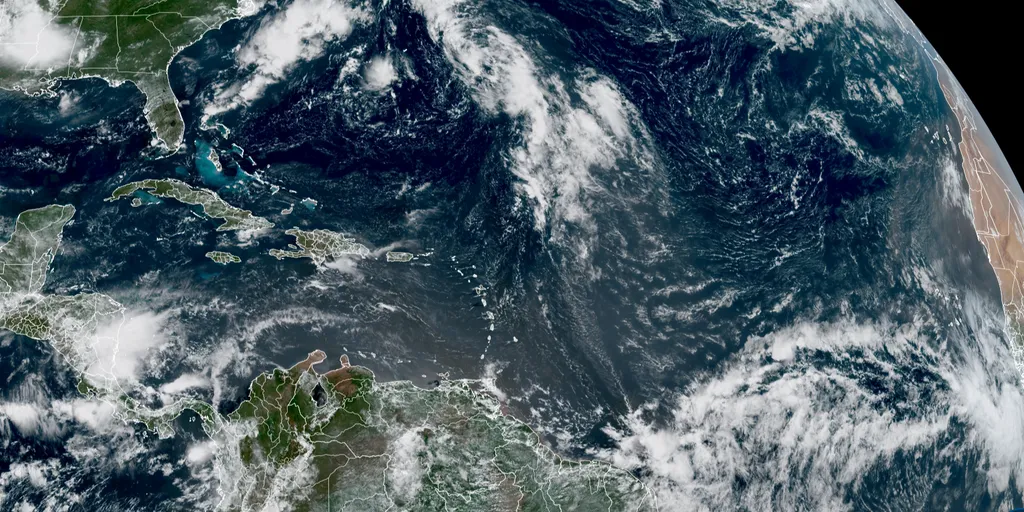
Invest 96L development odds drop amid strengthening El Niño The Atlantic Basin has been dominated by a strengthening El Niño, suppressing tropical activity across the basin this season. However, Invest 96L is attempting to develop, with odds now dropping to a medium chance. FOX Weather Meteorologist Britta Merwin has the latest on tropical activity across the basin: Updated at 9:05 a.m. on Wednesday, Aug. 26, 2026. The tropical disturbance that came off Africa on Monday is still trying to get organized over the tropical Atlantic. The National Hurricane Center officially tagged it Invest #96L, which triggered various internal systems and specialty models to run. The runway ahead looks sufficiently conducive to development that we could briefly get a tropical depression or maybe Tropical Storm Dolly, but the road is going to get very bumpy by Friday. The NHC's odds of development into at least a depression are now in the medium range as it heads in the general direction of the northeast Caribbean. INVEST 93E COULD BECOME NEXT NAMED STORM AS STRENGTHENING EL NIÑO KEEPS PACIFIC PRIMED WITH 6 AREAS TO WATCH Tropical Overview of the Atlantic.
Invest 96L has been given medium odds of developing over the next seven days over a broad area of open ocean between Cabo Verde and the Caribbean, according to the NHC.
Invest 96L development odds drop amid strengthening El Niño The Atlantic Basin has been dominated by a strengthening El Niño, suppressing tropical activity across the basin this season. However, Invest 96L is attempting to develop, with odds now dropping to a medium chance. FOX Weather Meteorologist Britta Merwin has the latest on tropical activity across the basin: THE TAKEAWAYOne area for potential tropical development is being monitored in the Atlantic basin. El Niño could reach historic strength later this year, according to NOAA. If a tropical system does emerge, both Bermuda and the northeastern Caribbean islands would be the first areas threatened. The Atlantic Basin is once again trying to support the development of a tropical disturbance — Invest 96L — as it battles the hostile conditions being produced by the strengthening El Niño climate pattern as well as plumes of dust from North Africa's Saharan Desert.
Governor Greg Abbott confirmed that the Ross Fire has threatened homes, damaged property, and impacted infrastructure.
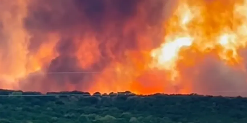
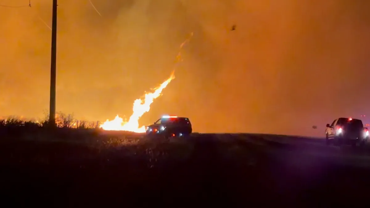
Dangerous conditions fuel Ross Fire as 50,000 acres burn at 12% containment Over 1,000 residents have evacuated as the Texas Ross Fire reached 50,000 acres and remains at 12% containment. Dangerous fire conditions have fueled the flames with little rain in sight. FOX Weather Correspondent Brandy Campbell was on the ground in Palo Pinto on Tuesday with the latest conditions:THE TAKEAWAYThe Ross Fire has now scorched more than 80,000 acres, with just 12% contained. Evacuations are in order for portions of Jack and Palo Pinto County. The fire has now damaged property and impacted infrastructure. PALO PINTO COUNTY, Texas — Fueled by extreme dry conditions, the rapidly spreading Ross Fire has exploded to 80,000 acres, forcing widespread local evacuations across Palo Pinto and Jack counties, which are located about two hours west of Fort Worth, Texas. Governor Greg Abbott confirmed that the Ross Fire has threatened homes, damaged property, and impacted infrastructure.
Texas firefighters battle massive 'son of a buck' wildfireThe Ross Fire has torn through 125 square miles of rural Texas in a little over a day, as powerful winds and bone-dry conditions turned the landscape into a tinderbox. The fire, burning about an hour outside of Fort Worth, moved so quickly it jumped creeks and rivers and destroyed at least five structures. As of Wednesday morning, the inferno is 12% contained. Schools closed, middle-of-the-night evacuations were ordered and emergency officials warned the blaze could continue growing as temperatures climb this week. What to expectThe Fort Worth area is already facing triple-digit heat and low humidity with winds of up to 25 mph (and even stronger gusts).(MORE: Protect yourself from wildfire smoke with these tips)That combination is a recipe for rapid fire growth, as winds can push flames across firebreaks and carry embers ahead of the main fire. Get More of Our News on GoogleSet The Weather Company as a 'Preferred Source' to get quicker access to the news you value. And there’s little relief in sight. Wednesday is likely to bring more of the same weather, with high temperatures exceeding 100 degrees.
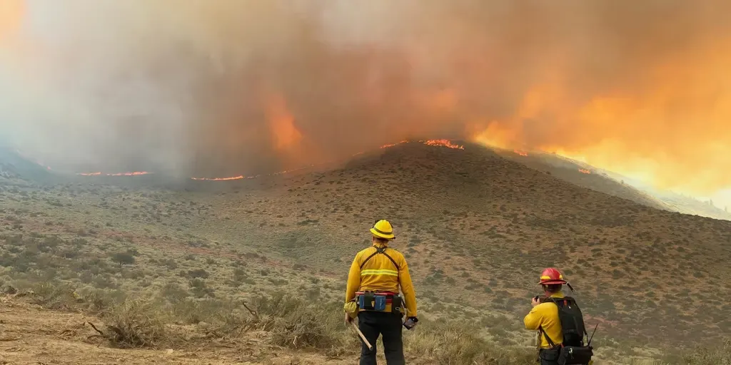
THE TAKEAWAYSome evacuation orders have been lifted as containment reaches 85%. At least 7 people have been injured as the Hawk Fire rapidly spreads. The Hawk Fire has now burned over 15,000 acres, causing nearly 90,000 residents to evacuate. RENO, Nev. — The Hawk Fire has burned more than 15,000 acres near Reno, forcing widespread evacuations and a state of emergency, with tens of thousands of residents being asked or ordered to leave their homes. Evacuation orders have since been scaled back following critical gains made on Tuesday, bringing containment to 85%. That breakthrough brings significant relief compared to Monday, when approximately 23,000 people were under mandatory "go now" evacuation orders and another 40,000 residents were under "get set" warnings. Still, crews remain on high alert as dangerous fire conditions are expected to return through Thursday. EVACUATIONS UNDERWAY AS FAST-GROWING TEXAS ROSS FIRE EXPLODES TO 50,000 ACRESOfficials announced Sunday that the fire was human-caused. Seven injuries have been reported, four civilians and three firefighters, with no deaths reported. next
RENO, NEVADA - AUGUST 23: Firefighters pack their truck after responding to a
Some disasters strike with little to no warning. Krakatoa gave plenty of warning that something was wrong in the lead-up to its colossal eruption in August 1883. The disaster remains one of the most powerful volcanic eruptions in modern history, sending pressure waves circling the world and altering the global climate for years to come. DON’T MISS: Huge Hunga-Tonga volcanic eruption altered atmosphere, report findsIndonesia sits on one of the most geologically active parts of the world. Consisting of more than 10,000 islands, the rugged archipelago nation hosts more active volcanoes than any other country. Chief among them was Krakatoa (sometimes spelled Krakatau), situated about halfway between the islands of Java and Sumatra. The volcanic island had a history of eruptions dating back millennia, but it sprang to life in earnest in May 1883. Small explosions and belches of ash emanated from the volcano for several months. A series of colossal explosions rocked the region on Aug. 26, 1883, culminating in a cataclysmic eruption that destroyed most of the island.
Tornadoes, hail and damaging winds threaten the Great Lakes Severe storms are expected to ramp up across parts of the Midwest and Great Lakes as a cold front sweeps eastward from the Mid-Mississippi Valley. Daytime heating and wind shear could fuel damaging winds, large hail and a few tornadoes from Chicago to Detroit, with the highest tornado threat centered over northern Indiana. THE TAKEAWAYSevere weather and heavy rain are expected to develop across the Plains this week. NOAA's Storm Prediction Center issued a Level 2 out of 5 severe storm threat. By midweek, storms will shift south into the central Plains and Rockies. After days of relentless heat, severe weather and heavy rain are expected to develop across the Plains, bringing the threat of damaging winds, large hail and flooding. EXTREME HEAT SAFETY: RECOGNIZING SIGNS OF HEAT ILLNESS AND HOW TO TREAT ITThis comes as powerful, ridge-riding storms track along the northern edge of a large heat dome currently impacting the Southwest. The severe weather on Tuesday.(FOX Weather) The threat began Monday as tennis-ball-size hail and wind gusts up to 77 mph impacted North Dakota.