What September during past powerful El Niños looked like
This story deserves to be shared
Send it to someone who'd care, or post it on your networks.

How a strengthening El Niño typically shapes September weatherSeptember in the U. S. might take on some weather themes seen during past intensifying El Niños, including impacts on temperatures, rainfall and what's typically the Atlantic hurricane season's peak month. As we've hit on since last spring, this still-strengthening El Niño could be a record-setter by later this year. While it's not the only impact on weather, it will probably exert a significant influence in September. So what could this mean for you? We examined the six previous El Niños since 1950 that eventually reached "super" status. While that doesn't mean it may hold true this September, here's what those past Septembers have looked like. Who could be hotAs the map below shows, taking the six past super El Niños together:The Southern and Central Plains into the Northeast tend to be warmer than average. Much of the western and northwestern U. S. tends to be cooler than average. However, during the last bullish El Niño in 2015, America had its second hottest September in 121 years, according to NOAA.
This article is an excerpt. To read the full content, visit the original source. The Weather Channel
Related articles
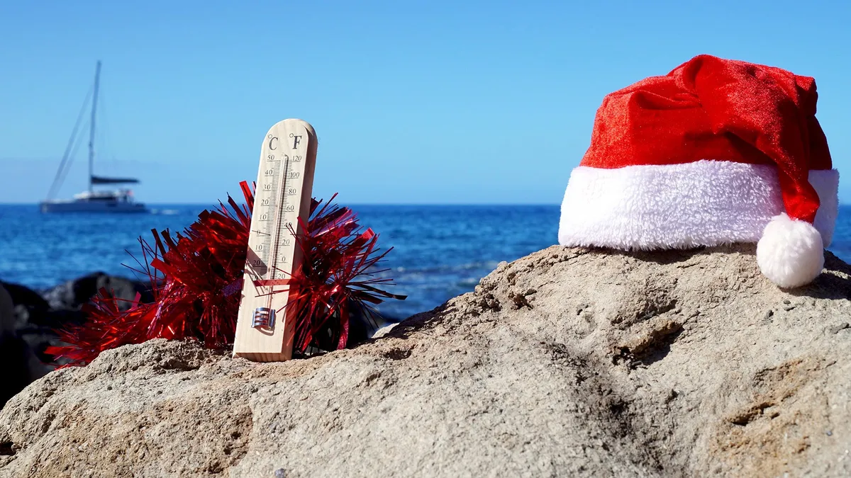
70 degrees on Christmas Eve? How Super El Niños of yore impacted Yuletide
El Niño winter forecast: why warmer doesn't mean less snow or iceIf you're already dreaming of a white Christmas, look away. The National Oceanic and Atmospheric Administration (NOAA) released its winter outlook on Thursday, and it's calling for warmer-than-average temperatures December through February throughout most of the United States. And it's all thanks to the Super El Niño.(MORE: Your Complete Guide To Everything El Niño)The 2026-27 U. S. Winter Outlook map for temperature shows the greatest chances for warmer-than-average conditions in the Pacific Northwest, northern Rockies, Midwest, Mississippi Valley, much of the East and Alaska.(NOAA)NOAA’s October update gives this El Niño an 83% chance of being the strongest since records began in 1950, up from 75% a month ago. Here's how recent Super El Niños have affected Christmas weather in the U. S.2015, the last Super El NiñoThis will be the first Super El Niño since 2015. For the millions of people living in the biggest city in the U. S., that might conjure up one standout weather memory: 72 degrees on Christmas Eve at Central Park.
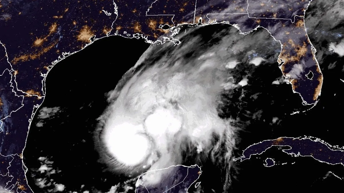
Is hurricane season over? Here's what past super El Niños have shown
Mother and daughter survive as Isaias rips off their roofThe Atlantic hurricane season may already be over if previous super El Niños are a guide, at least when it comes to any tropical threat to the mainland U. S. Quiet for a whileAs you can see in the map below, there aren't any areas with a significant chance of development in the next week, according to the National Hurricane Center. In fact, there's not a really strong signal in any of the forecast models, including AI models, for the next two weeks in the Atlantic Basin. (MORE: AI models shined again during Hurricane Isaias)Have we seen our last hurricane for 2026? The short answer is "it's probably over, as far as a significant threat goes. "Officially, the Atlantic hurricane season goes through the end of November. Get More of Our News on GoogleSet The Weather Company as a 'Preferred Source' to get quicker access to the news you value. But wind shear typically becomes stronger as we head toward November. And that shear is being enhanced by the current super El Niño. Wind shear is hostile for systems trying to become tropical storms. What's a typical hurricane season?

Super El Niños can accelerate global sea level rise: study
The world’s oceans may rise faster than normal over the next couple of months. A recent study found that very strong El Niño events, sometimes dubbed Super El Niños, cause accelerated sea level rise as these anomalously warm waters peak in temperature. The exceptional El Niño event developing in the Pacific Ocean to end 2026 will almost certainly follow the lead of these significant events from recent years. DON'T MISS: The last strong El Niño quadrupled this region’s sea level rise: studyBalmy water temperatures around the equator in the Pacific Ocean are running 3-6°C warmer than normal for this time of year, indicative of a strong and growing El Niño throughout the region. Experts predict that this El Niño will likely achieve a historic peak this winter, growing stronger than any previous event on record since the 1950s. El Niño and its cold-water opposite La Niña have a significant impact on global weather patterns. But their influence also extends to the world’s oceans. Content continues belowA recent study by researchers with China’s Sun Yat‐sen University found that global mean sea level rise accelerated during two recent El Niños, one in 2014-16 and the other in 2023-24.
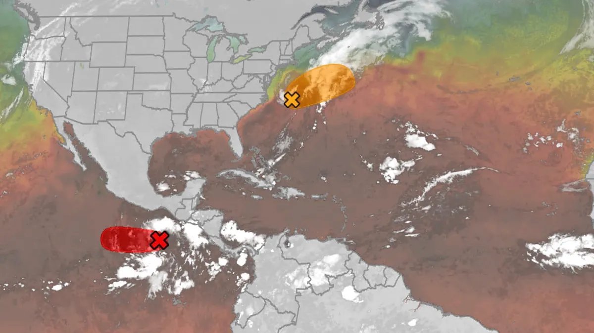
Hurricane season maps tracker: Latest forecasts and more
We have the maps you need to track all the systems ongoing in the Pacific and Atlantic below. Tracking the AtlanticTropical development areasSea surface temperatures Wind shear These are areas of strong wind shear, the difference in wind speed and direction with height, which are shown in purple. High wind shear is hostile to mature tropical cyclones and those trying to develop.(MORE: What is wind shear?)Get More of Our News on GoogleSet The Weather Company as a 'Preferred Source' to get quicker access to the news you value. Dry, dusty airAnother nemesis of tropical systems is dry air. In hurricane season, plumes of dust-laden air stream across the basin from Africa's Sahara Desert, as you can see in the map below. This sinking, dry air squelches thunderstorm development, the building blocks of tropical storms and hurricanes. So areas in the brown shading below are generally unfavorable for development. Atlantic tracks so far this seasonThese are the tracks of systems that were at least tropical or subtropical storms so far in the Atlantic Basin.
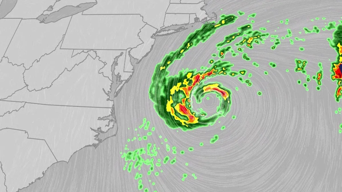
Nor'easter lashes coast from Carolinas to Northeast
An October nor'easter is meandering off the Atlantic coast, where it will bring high surf, rip currents, coastal flooding and winds to parts of the East Coast for several days this week. The National Hurricane Center has highlighted it as an area to watch this week for the potential development of Josephine. However, regardless of whether we call this system a nor'easter or Josephine, the impacts will be the same. The bottom line: This system will bring dangerous conditions to the East Coast for multiple days this week.(MORE: What is a nor'easter?)ImpactsWhile we do not expect this storm to be as strong as the late September nor'easter, there will still be some impacts. They are broken down below: Coastal floodingGet More of Our News on GoogleSet The Weather Company as a 'Preferred Source' to get quicker access to the news you value. The area most likely to be impacted the longest appears to stretch from the Delmarva Peninsula to eastern North Carolina. Coastal flood alerts are in effect for parts of coastal North Carolina, where anywhere from 1 to 4 feet of inundation is possible.
0 comments
No comments yet. Be the first to share your thoughts!