Nor'easter lashes coast from Carolinas to Northeast
This story deserves to be shared
Send it to someone who'd care, or post it on your networks.
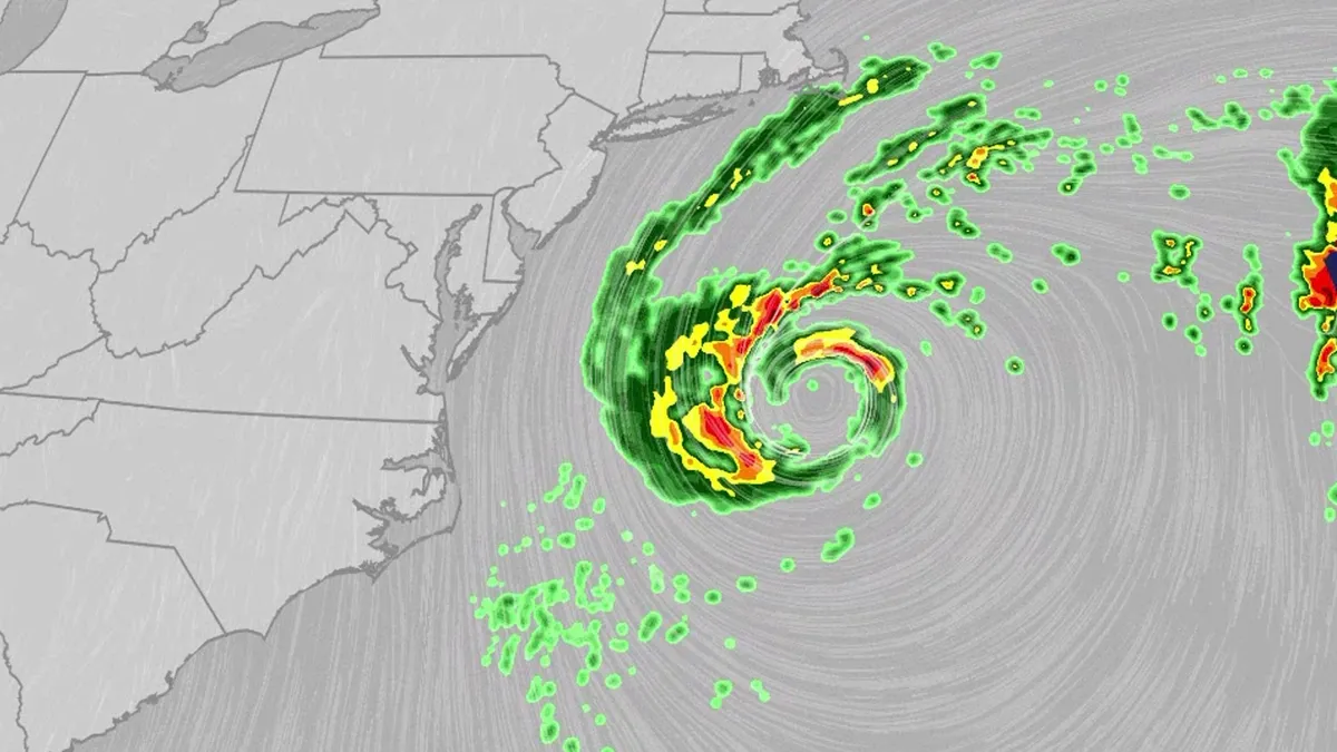
An October nor'easter is meandering off the Atlantic coast, where it will bring high surf, rip currents, coastal flooding and winds to parts of the East Coast for several days this week. The National Hurricane Center has highlighted it as an area to watch this week for the potential development of Josephine. However, regardless of whether we call this system a nor'easter or Josephine, the impacts will be the same. The bottom line: This system will bring dangerous conditions to the East Coast for multiple days this week.(MORE: What is a nor'easter?)ImpactsWhile we do not expect this storm to be as strong as the late September nor'easter, there will still be some impacts. They are broken down below: Coastal floodingGet More of Our News on GoogleSet The Weather Company as a 'Preferred Source' to get quicker access to the news you value. The area most likely to be impacted the longest appears to stretch from the Delmarva Peninsula to eastern North Carolina. Coastal flood alerts are in effect for parts of coastal North Carolina, where anywhere from 1 to 4 feet of inundation is possible.
This article is an excerpt. To read the full content, visit the original source. The Weather Channel
Related articles
Bryan Norcross: Watching for a nasty coastal storm to develop and stall near the Carolinas
Hurricane Trudy strengthens into a monster Category 3 storm, while Champi eyes rare Guam landfall Trudy rapidly intensified into a Category 3 hurricane early Friday and is forecast to continue to strengthen as moves toward the Mexican coast. Landfall remains possible, but there is increased uncertainty around Trudy's track beyond this weekend. Meanwhile, Tropical Storm Champi still has Guam and the Northern Mariana Islands in its sights and is expected to move through the U. S. territories as the equivalent of a category 2 hurricane. A direct landfall on Guam would be rare due to the island's small size. From there the typhoon will continue to intensify. Incredibly, the Google Deepmind model is giving it a 99% chance of becoming a Super Typhoon. Last updated at 9:30 a.m. on Oct. 16, 2026A strong cold front is going to push off the East Coast by early tomorrow. The coldest air of the year on a brisk north wind will move in behind it. There is a strong consensus in the various computer forecasts that a low-pressure system will form along the front similar to the one that developed into the nor'easter last month. This system will play out very differently, however.
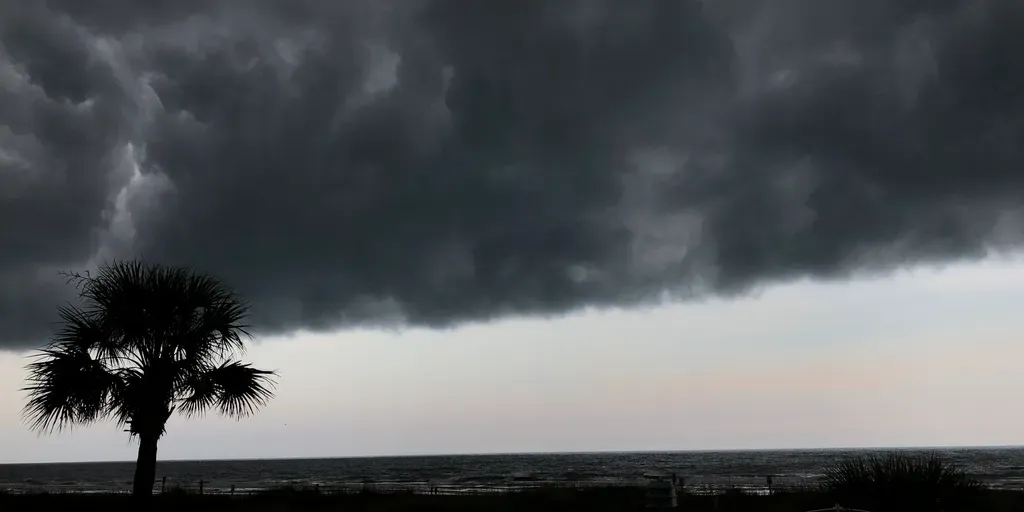
Severe weather shifts south, threatening the Carolinas and Georgia after week of nasty storms
THE TAKEAWAYAn active weather pattern continues Sunday, packing rounds of nasty storms each day this week. Over 500,000 homes were without power as severe storms moved through on Saturday. More severe storms are shifting south and will impact the Carolinas and Georgia today. Severe weather is shifting south and will impact millions of people in the Southeast amid a multiday threat that will last through the day Sunday. The relentless severe weather threat has been ongoing since early last week, leaving thousands without power and causing dangerous flash flooding in Ohio and parts of the Midwest and Northeast. SEE YOUR LABOR DAY WEEKEND FORECASTAccording to the FOX Forecast Center, there have been nearly 1,000 severe storm reports across the North and the East since Tuesday. Gusty winds uproot tree in Michigan yard during severe storms Severe storms on Thursday rattled Michigan, leaving thousands without power and causing damage across major cities like Detroit. Security camera video from Port Huron shows a homeowner standing on their porch before returning inside.

‘No more!!!’: Trump lashes out after US-Canada talks devolve into trade war - The Guardian
Donald Trump has hit back at Canada after a breakdown in negotiations plunged the two countries into a trade war. In his first public comments since negotiations collapsed on Friday in Washington, the US president wrote on social media: “Canada wants the benefits of being a State, without being one!!!”“They have also charged our great farmers, for many years, massive amounts of tariffs,” he added. “No more!!!”His comments came after the US imposed 50% tariffs on $20bn (£14.6bn) worth of Canadian goods, while Mark Carney, the country’s prime minister, has vowed to match them “dollar for dollar”. The US tariffs came into force on Saturday, ranging from hockey sticks to tongue depressors. Trade experts have predicted that the tariffs could result in some job losses, but the biggest impact is expected to be political, triggering fresh tension between the neighbours. Canadian trade minister Dominic LeBlanc, left, and US trade representative Jamieson Greer speak to reporters in Washington DC on Friday. Photograph: Canadian Press/ShutterstockBoth sides blamed the other for the breakdown in talks on Friday.
0 comments
No comments yet. Be the first to share your thoughts!