Super El Niños can accelerate global sea level rise: study
This story deserves to be shared
Send it to someone who'd care, or post it on your networks.
The world’s oceans may rise faster than normal over the next couple of months. A recent study found that very strong El Niño events, sometimes dubbed Super El Niños, cause accelerated sea level rise as these anomalously warm waters peak in temperature. The exceptional El Niño event developing in the Pacific Ocean to end 2026 will almost certainly follow the lead of these significant events from recent years. DON'T MISS: The last strong El Niño quadrupled this region’s sea level rise: studyBalmy water temperatures around the equator in the Pacific Ocean are running 3-6°C warmer than normal for this time of year, indicative of a strong and growing El Niño throughout the region. Experts predict that this El Niño will likely achieve a historic peak this winter, growing stronger than any previous event on record since the 1950s. El Niño and its cold-water opposite La Niña have a significant impact on global weather patterns. But their influence also extends to the world’s oceans. Content continues belowA recent study by researchers with China’s Sun Yat‐sen University found that global mean sea level rise accelerated during two recent El Niños, one in 2014-16 and the other in 2023-24.
This article is an excerpt. To read the full content, visit the original source. The Weather Network
Related articles
70 degrees on Christmas Eve? How Super El Niños of yore impacted Yuletide
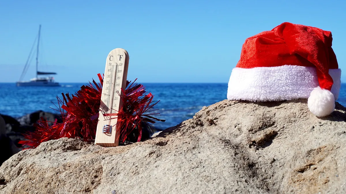
El Niño winter forecast: why warmer doesn't mean less snow or iceIf you're already dreaming of a white Christmas, look away. The National Oceanic and Atmospheric Administration (NOAA) released its winter outlook on Thursday, and it's calling for warmer-than-average temperatures December through February throughout most of the United States. And it's all thanks to the Super El Niño.(MORE: Your Complete Guide To Everything El Niño)The 2026-27 U. S. Winter Outlook map for temperature shows the greatest chances for warmer-than-average conditions in the Pacific Northwest, northern Rockies, Midwest, Mississippi Valley, much of the East and Alaska.(NOAA)NOAA’s October update gives this El Niño an 83% chance of being the strongest since records began in 1950, up from 75% a month ago. Here's how recent Super El Niños have affected Christmas weather in the U. S.2015, the last Super El NiñoThis will be the first Super El Niño since 2015. For the millions of people living in the biggest city in the U. S., that might conjure up one standout weather memory: 72 degrees on Christmas Eve at Central Park.
Is hurricane season over? Here's what past super El Niños have shown
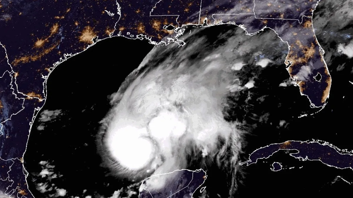
Mother and daughter survive as Isaias rips off their roofThe Atlantic hurricane season may already be over if previous super El Niños are a guide, at least when it comes to any tropical threat to the mainland U. S. Quiet for a whileAs you can see in the map below, there aren't any areas with a significant chance of development in the next week, according to the National Hurricane Center. In fact, there's not a really strong signal in any of the forecast models, including AI models, for the next two weeks in the Atlantic Basin. (MORE: AI models shined again during Hurricane Isaias)Have we seen our last hurricane for 2026? The short answer is "it's probably over, as far as a significant threat goes. "Officially, the Atlantic hurricane season goes through the end of November. Get More of Our News on GoogleSet The Weather Company as a 'Preferred Source' to get quicker access to the news you value. But wind shear typically becomes stronger as we head toward November. And that shear is being enhanced by the current super El Niño. Wind shear is hostile for systems trying to become tropical storms. What's a typical hurricane season?
Nor' easter to bring coastal flooding, winds to East Coast
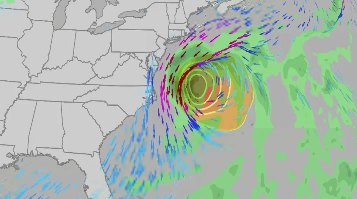
An October nor'easter is developing in the Atlantic, where it will bring high surf, rip currents, coastal flooding, winds and rain to parts of the East Coast for several days this week. The National Hurricane Center has it highlighted as an area to watch this week for potential subtropical development. However, regardless of development, this system will bring dangerous conditions to the East Coast this week. Fortunately, this system doesn't look to be as strong as the one in September. But the bad news? It could linger for much of the week, so impacts could have a longer duration than you would think. There are currently coastal flood alerts across parts of coastal North Carolina and Virginia, where anywhere from 1 to 4 feet of inundation is possible. Key takeawaysWe do not expect this storm to be as strong as the late September nor'easter. The area most likely impacted the longest appears to be from the Delmarva Peninsula to eastern North Carolina, with more models pointing to primarily eastern North Carolina.
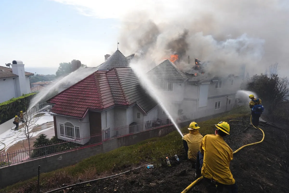
Coastal homes burn as hot winds fuel California wildfires
Thousands evacuate Southern California as wind-fueled fires burn homesFire crews in Southern California gained ground Saturday on a wind-driven blaze that charred hills and damaged or destroyed at least six large coastal homes, allowing evacuation orders to be lifted and thousands of people to return home. The fast-moving Norte Fire sparked the previous day in San Clemente amid hot, strong Santa Ana winds that drove it into San Juan Capistrano, prompting the evacuation of about 16,000 residents. Firefighters work to douse a house fire during the Norte Fire on Friday, Oct. 16, 2026, in San Juan Capistrano, Calif.(AP Photo/Jae C. Hong)Hundreds of firefighters deployed to combat the blaze in the hills of Orange County. At one home engulfed in smoke and fire, photos showed them using hoses to try to douse the flames. Most of the evacuations were lifted Saturday evening, except for one street in San Clemente. The Norte Fire was one of several in the region hit by the Santa Anas, which blow from the interior and toward the coast.
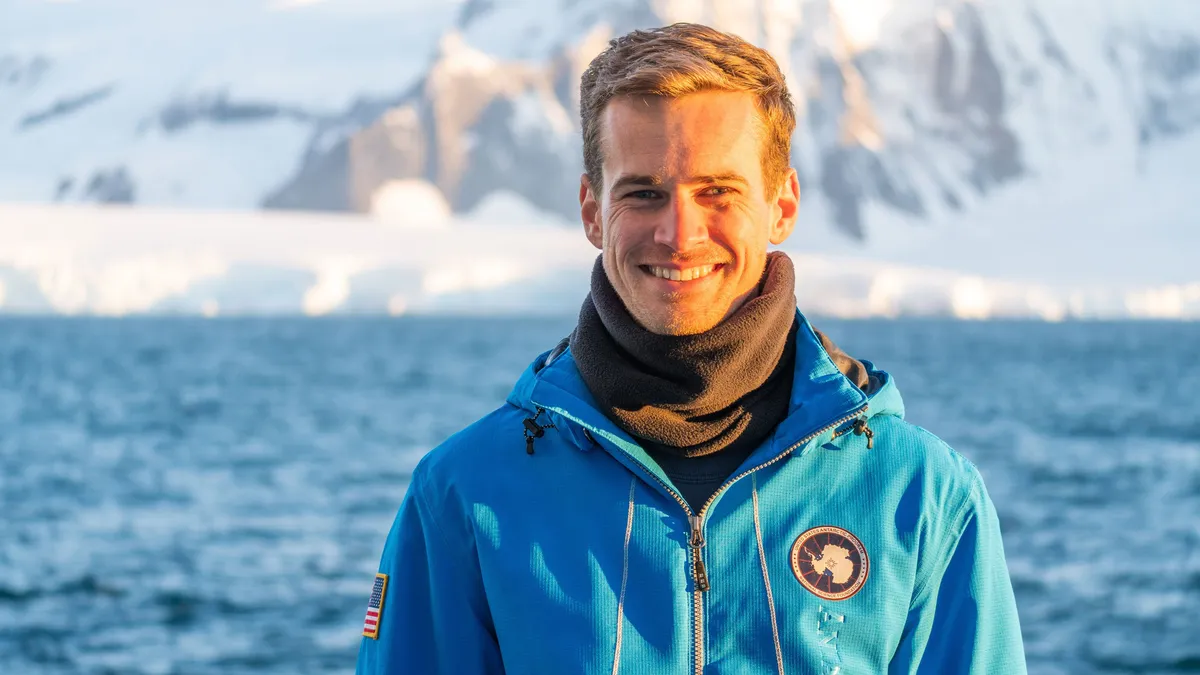
Meet the marine technician documenting Antarctica's beauty while protecting its future
Marine technician crosses world's roughest sea to document AntarcticaFor Andrew Naslund, Antarctica is his “favorite place in the world.”He’s a marine technician for Scripps Institution of Oceanography. And while not a professional photographer, he’s capturing Antarctica’s beauty along his research journey. Andrew Naslund, Scripps Institution of Oceanography marine technician.(Andrew Naslund)The researchNaslund spends months aboard a research vessel, the R/V Roger Revelle (AGOR 24), which he describes as “basically a floating laboratory.”“The purpose of this ship is to provide a platform for scientists to reach some of the most remote reaches of our oceans,” Naslund said. A big part of his role is assisting the scientists to safely deploy and recover their instrumentation over the side of the ship. He also keeps track of incoming data, ensuring the scientists are getting the information that they came out there to get. “[We’re] a mobile weather station. So anywhere that we travel in the world, we’re collecting meteorological weather data,” he says.
0 comments
No comments yet. Be the first to share your thoughts!