Damaging winds, large hail and tornadoes threaten the Plains as a heat dome fuels unsettled weather
This story deserves to be shared
Send it to someone who'd care, or post it on your networks.
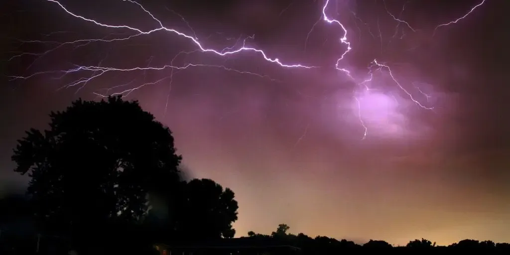
Tornadoes, hail and damaging winds threaten the Great Lakes Severe storms are expected to ramp up across parts of the Midwest and Great Lakes as a cold front sweeps eastward from the Mid-Mississippi Valley. Daytime heating and wind shear could fuel damaging winds, large hail and a few tornadoes from Chicago to Detroit, with the highest tornado threat centered over northern Indiana. THE TAKEAWAYSevere weather and heavy rain are expected to develop across the Plains this week. NOAA's Storm Prediction Center issued a Level 2 out of 5 severe storm threat. By midweek, storms will shift south into the central Plains and Rockies. After days of relentless heat, severe weather and heavy rain are expected to develop across the Plains, bringing the threat of damaging winds, large hail and flooding. EXTREME HEAT SAFETY: RECOGNIZING SIGNS OF HEAT ILLNESS AND HOW TO TREAT ITThis comes as powerful, ridge-riding storms track along the northern edge of a large heat dome currently impacting the Southwest. The severe weather on Tuesday.(FOX Weather) The threat began Monday as tennis-ball-size hail and wind gusts up to 77 mph impacted North Dakota.
This article is an excerpt. To read the full content, visit the original source. Fox Weather
Related articles
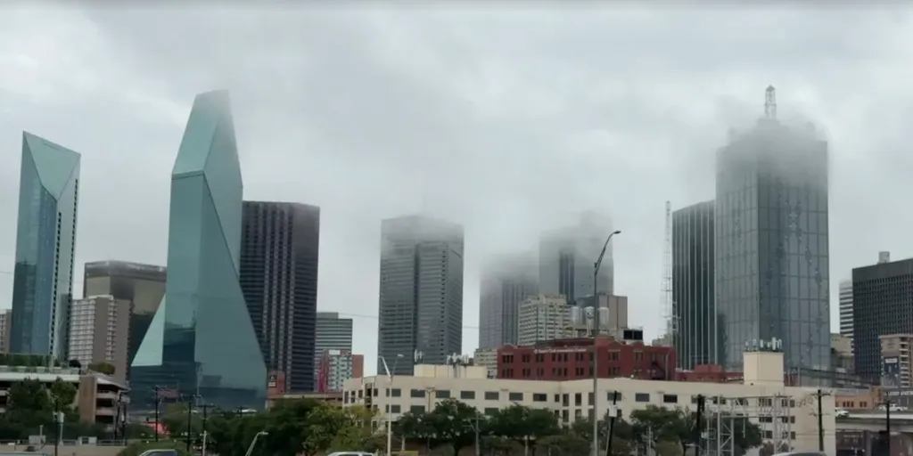
Texas in the bull's-eye of relentless flood threat as 50M from Southern Plains to East Coast face downpours
Texas in bull’s-eye of flood threat as 50M from Southern Plains to East Coast face Friday soaker The major Texas cities of Dallas, Austin and San Antonio face another round of potential flash flooding as thunderstorms fire along an 1,800-mile front draped border-to-border from South Texas to Upstate New York. More than 50 million people are under a flash flood threat, with another round of heavy rain fueled by tropical moisture expected to move into the Southeast this weekend. THE TAKEAWAYThe major Texas metros of Dallas, Austin and San Antonio are again in the bull's-eye of the greatest flash flood risk on Friday. Parts of the Midwest, Ohio Valley and Northeast could see a shot of rain on Friday as a massive 1,800-mile front slowly pushes eastward through the day. This follows a weeklong flood threat across the Central U. S, that was fueled by tropical moisture from the remnants of Polo and Hurricane Rachel. The major Texas cities of Dallas, Austin and San Antonio are in the bull's-eye of another round of flash flooding as thunderstorms fire along an 1,800-mile front stretching from South Texas to Upstate New York.

Polo's remnants brought record rain to Plains, Southwest
Fort Worth firefighter lifts woman to safety as floods swamp TexasFlooding rain soaked parts of the Southwest and Plains from Arizona, New Mexico and Texas to Nebraska as record late September tropical moisture partially from the remnant of former Hurricane Polo flowed northward into the nation's heartland. TimelineThis multi-day flood event ramped up on Monday, Sept. 28 in the Desert Southwest as deeper moisture from the tropics arrived. It then was boosted from the remnant spin and moisture from what was Hurricane Polo the following day, then gradually spread into the Plains over the next several days, lasting into Friday, Oct. 2. Southwest impactsIn the Southwest, typically dry arroyos and washes were flooded and sections of roads were swamped, trapping vehicles. Flooding swamped Casino Drive and the Laughlin River Walk beneath the Edgewater Casino in Laughlin, Nevada. One vehicle was also stuck in mud in the city about 75 miles south-southeast of Las Vegas. A box truck was swept away by floodwaters north of Phoenix. The driver was able to make it out safely.
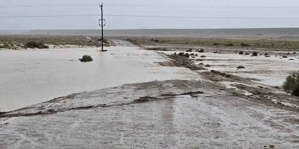
Timeline: When will dangerous, tropically enhanced flooding reach the Southwest, Southern Plains and Midwest?
THE TAKEAWAYFlood Watches have been issued across nine states this week across the Four Corners, Southwest and Plains, as moisture from Hurricane Polo and Tropical Storm Rachel surge north. Many areas throughout the week could receive 6 to 8 inches of rain, or more.80 million people are in the path of Thursday's flood threat from Texas to the Upper Midwest. A dangerous multiday flood event is developing across the Four Corners, Southwest and Plains this week as tropical moisture from the remnants of Polo, which made landfall in Baja California late Monday, and Hurricane Rachel spread northward through the week. According to the FOX Forecast Center, up to 25 states could see impacts from this weather system this week. OVER 150M FACE DANGEROUS, WEEKLONG FLOOD THREAT ACROSS 30+ STATES FUELED BY POWERFUL PACIFIC TROPICAL SYSTEMS next Monsoon thunderstorms trigger flash flooding washing out part of Highway 491 in Newcomb, New Mexico, on Sep. 16, 2026.
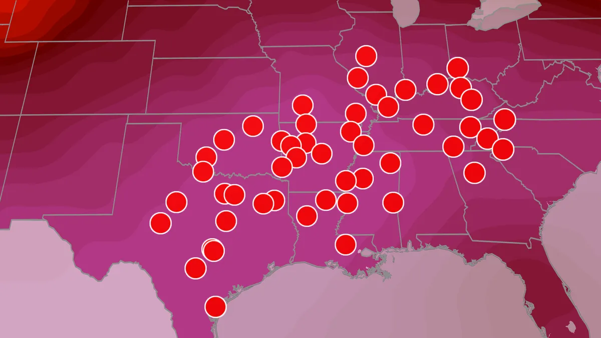
September record heat wave for Plains, Mississippi Valley
Heat dome continues this weekend, cooler temps next weekWhile Sept. 1 marked the start of meteorological fall, most of us have yet to feel anything close to fall temperatures. More record heat ahead could leave some areas hoping for relief this weekend. And for millions, that relief is coming next week as a pattern shift will bring the first real taste of fall temperatures. More record highs forecast through the weekendThis map shows where record highs for the date could be tied or set this weekend. Before the heat relief arrives, we have to get through the weekend. A heat dome currently sits across the Southern Plains and lower Mississippi Valley, bringing more brutal heat to the region for the next few days. Several cities could break daily record highs this weekend. Much of the Southern Plains and Southeast will have highs in the 90s through the weekend, with cities like Oklahoma City, Dallas, Little Rock and Nashville flirting with triple digits. Get More of Our News on GoogleSet The Weather Company as a 'Preferred Source' to get quicker access to the news you value. Will there be any relief?
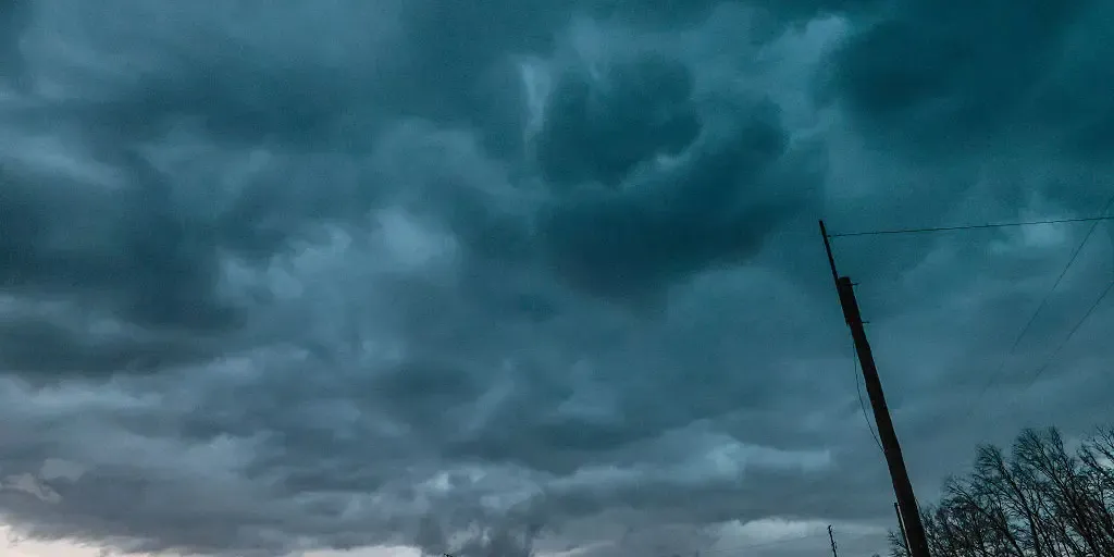
Millions under prolonged flash flood threat as relentless storms pummel Midwest, Central Plains
THE TAKEAWAYA persistent pattern is set to bring heavy rain, flooding and severe storms to the Midwest and Middle Mississippi Valley into Saturday. Rounds of thunderstorms and downpours developed from the Texas Panhandle, across the Midwest to the Great Lakes on Tuesday. The heaviest rain is expected just north of Kansas City, across parts of Kansas and Missouri, where a Level 3 flash flood threat is in effect into Wednesday morning. Relentless storms are slamming parts of the Midwest and Central Plains as a stalled weather pattern fuels a weeklong flash flood threat that will last into Saturday. A Level 2 out of 4 risk of flash flooding stretches across a corridor from Amarillo, Texas, across Missouri to northern Indiana. FLOODING RAIN, THUNDERSTORMS THREATEN MAJOR EAST COAST CITIES AS ONGOING DOWNPOURS DRENCH NORTHEASTThe storms will increase the danger of flash flooding as additional downpours move across an already waterlogged region. Intense rain slammed Council Bluffs, Iowa, on Monday, Sep. 15, 2026. (@weatherA_H via Storyful)The stormy pattern began Monday when severe storms swept through parts of Nebraska and Iowa.
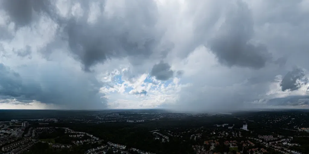
Multiday severe storm and flash flood threat to sweep from Plains to East Coast
THE TAKEAWAYStrong to severe thunderstorms will develop across the Upper Midwest and central Plains on Tuesday, with hail, damaging winds and heavy rain possible. Storms will spread from the central Plains to the interior Northeast on Wednesday, with a few wind gusts topping 60 mph. The threat will shift south Thursday, when heavy rain and flash flooding could impact parts of the Ohio Valley, Appalachians and Mid-Atlantic. A powerful cold front will sweep across the Upper Midwest and central Plains on Tuesday, triggering strong to severe thunderstorms. Storms and rain will spread into the interior Northeast on Wednesday, with showers and rumbles of thunder possible from Kansas to Maine. By Thursday, the front will move south, bringing wet weather to the Mid-Atlantic, central Appalachians and Ohio Valley. Tuesday severe storm threat.(FOX Weather) Labor Day was a relatively quiet day, although two brief tornadoes were reported in the Dakotas, according to the FOX Forecast Center. Thunderstorms will continue Tuesday morning across parts of Minnesota and Wisconsin, bringing a risk of severe hail and wind gusts of 40 to 60 mph.
0 comments
No comments yet. Be the first to share your thoughts!