BBlogFlow

Categories

Weather

5149 articles

Weather

There’s something alive in fog — and it’s eating pollution

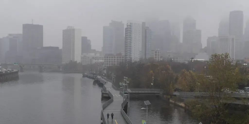
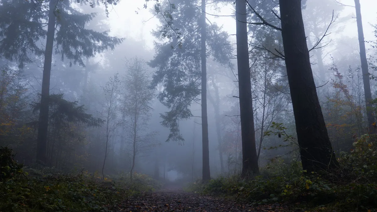
Fog is alive with bacteria that eat pollution, new study findsThere’s something living inside of fog. Yes, really, and this new study just discovered it. Fog is actually full of so much life that the researchers liken it to a vast aquatic ecosystem unto itself. What is fog? To start with the basics, fog is basically just a cloud that is low to the ground: water vapor that has condensed or frozen to form tiny droplets or crystals in the air. The most common form of fog is known as radiation fog, and that’s what these researchers collected samples of to test in their study. It typically occurs on clear nights as the ground cools the moist air immediately above it. Studying fog isn't easy, especially if we want to know how the bacteria in the air changes over the course of hours. We’d want to try to sample the same air before, during and after the fog appears, but wind can move everything around. That’s why this specific type of more still and stagnant fog was used. A foggy post-sunset scene in Dartmoor woods in England.(Simon Hodgkiss via Getty Images)Fog as a habitat and what’s living in itResearchers found millions of bacteria inhabiting the fog droplets.

The Weather Channel·
Weather

Timeline: How 30 beluga whales journeyed from a closed Canada marine park to 5 new aquariums

Nearly two years after a closed marine animal park in Canada closed for good in 2024, rescue efforts for 30 beluga whales at the shuttered park have begun to relocate the whales to new homes.  Relocation efforts began in July after Marineland Canada was unable to support the whales in their current habitat. BELUGA WHALE PEEKACHU DIES WEEKS AFTER RESCUE FROM SHUTTERED CANADIAN MARINE PARKA combined effort by the Association of Zoos and Aquariums and NOAA Fisheries and the different aquariums involved made the relocation project possible. So far, at least 22 of the beluga whales have arrived at their new aquarium homes. DOZENS OF NEARLY EXTINCT WHALES FOUND OFF THE COAST OF CAPE COD next A beluga whale lifted during transport to Shedd Aquarium.

Fox Weather·
Weather

Tracking Tropical Storm Dolly: Forecast cone, rain, wind and radar maps

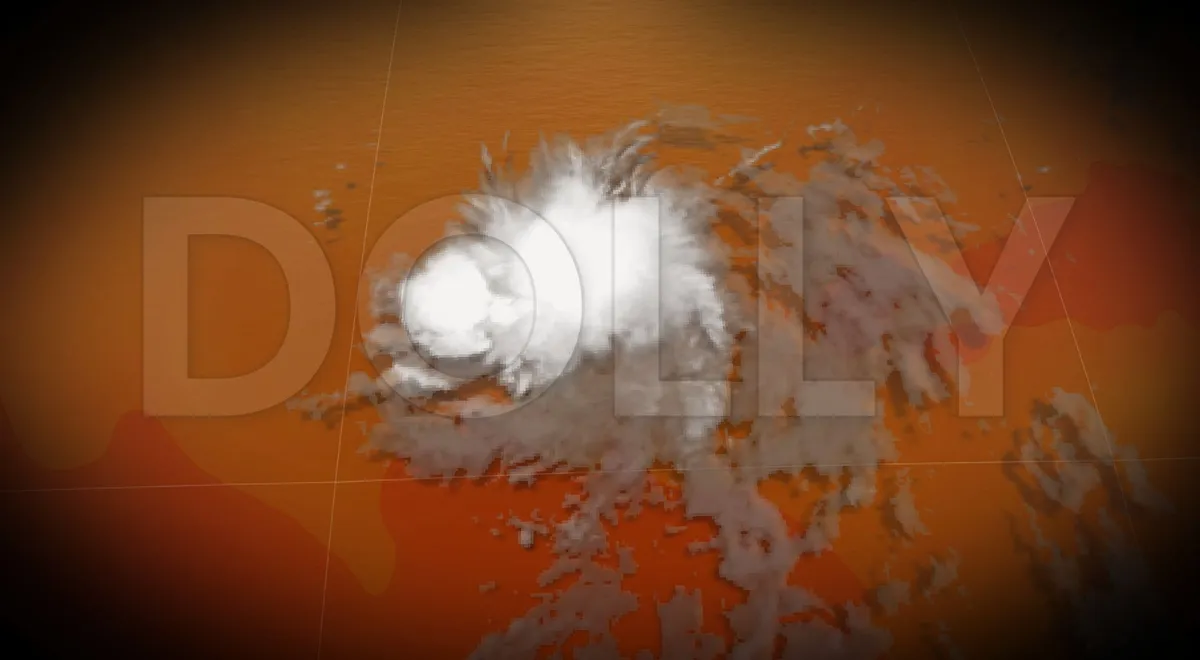
Here is everything you need to know about Tropical Storm Dolly, including the current location, track, wind speeds, rainfall threats and more. THE TAKEAWAYTropical Storm Dolly has sustained winds of 40 mph. Dolly is moving west generally toward the Lesser Antilles. The system is expected to bring heavy rain and possible flooding to the Leeward Islands, Virgin Islands, Puerto Rico and Hispaniola. Tropical Storm Dolly is churning in the Atlantic, with sustained winds of 40 mph as it tracks west toward the Lesser Antilles. According to the National Hurricane Center, heavy rain from this system could begin affecting the Leeward Islands late Saturday into Sunday, before spreading to the Virgin Islands, Puerto Rico and Hispaniola on Sunday and Monday. These downpours may produce flash flooding, especially in areas of higher terrain. TROPICAL STORM DOLLY FORMS, BATTLING BREWING SUPER EL NIÑO'S HOSTILE CONDITIONS IN THE ATLANTICHere is everything you need to know about Tropical Storm Dolly: current location, track, wind speeds, rainfall threats and more. Where is Tropical Storm Dolly?

Fox Weather·
Weather

38 million faced tornado, flood threat as severe storms swept Northeast cities

THE TAKEAWAY38+ million Americans in the Northeast were under a Level 2 storm threat. New York City, Philadelphia and Baltimore faced a Level 1 tornado threat. Damaging winds were the primary concern, along with flash flooding. After firing up storms across the Great Lakes on Wednesday, a sweeping cold front moved east on Thursday, bringing active and severe weather threats to major cities across the Northeast. Scattered thunderstorms started in the afternoon and carried into the evening as instability built ahead of and along the front. Supercell thunderstorms were possible, along with a risk of damaging winds, large hail and a few tornadoes. Some of these storms were forecast to produce wind gusts of 60 mph or stronger. TORNADO SAFETY: EVERYTHING YOU NEED TO KNOW ABOUT TAKING SHELTER DURING SEVERE WEATHERThursday severe weather outlook in the Northeast(FOX Weather) Washington, D. C., Philadelphia and Baltimore are some of the major cities that were under a Level 2 out of 5 severe weather threat Thursday. Specifically, New York City was also included, alongside Philadelphia and Baltimore, in a Level 1 out of 5 tornado threat.

Fox Weather·
Weather

Magnitude 6.0 earthquake hits near Somalia, rattling residents and nearby communities

The USGS has reported several instances of shaking near the border between Djibouti and Somalia, where a cluster of reports has been recorded. THE TAKEAWAYA magnitude 6.0 earthquake struck near Somalia, with shaking also being felt in Yemen. The earthquake struck at approximately 12:07 a.m. local time Friday. The initial earthquake had an estimated intensity of IV on the Mercalli intensity scale. Residents across Somalia were rattled by a magnitude 6.0 earthquake on Thursday. The U. S. Geological Survey (USGS) said that the earthquake struck at approximately 12:07 a.m. local time Friday (around 5:07 p.m. ET) 91 miles north of Caluula at a depth of 6.3 miles. SCIENTISTS UNCOVER POTENTIALLY SIGNIFICANT MOVEMENT AT ONE OF AMERICA'S MOST DANGEROUS FAULT LINES Earthquake reported in Somalia. So far, the USGS has reported several instances of shaking near the border between Djibouti and Somalia, where a cluster of reports has been recorded. Shaking was also felt in Yemen.

Fox Weather·
Weather

Miami’s rainy season falls short as August storms eye the Southeast

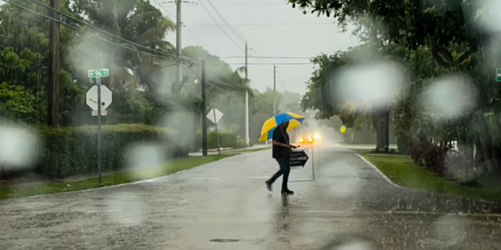
MIAMI, Florida – In Miami, rainstorms ain't nothing to mess with, but this summer, Will Smith’s famous lyric about the Florida city has not exactly reigned true. As September rapidly approaches with summer's closure and the arrival of fall, Miami is heading into the final days of August with its official rainfall total running well below the usual pace for the heart of South Florida’s wet season. CRIPPLING FLORIDA FREEZES COST OVER $3 BILLION IN ESTIMATED LOSSES TO AGRICULTUREThe latest preliminary climate report from the National Weather Service showed Miami International Airport had measured 3.40 inches of rain through Aug. 23, which was 3.53 inches below normal for that point in the month. FILE PHOTO: Miami, Palmetto Expressway, driving in heavy rain.  (Jeffrey Greenberg/Universal Images Group via Getty Images / Getty Images)The gauge also recorded just 10 days with at least 0.01 inches of rain, despite August typically being one of Miami’s wettest months, according to NWS Miami climate data. Let's take a look at how prediction markets are analyzing trading on Miami's total rainfall for the month of August.

Fox Weather·
Weather

Extreme heat is sending more people to the emergency room

How To Tell If You Are Suffering From HeatstrokeWhen the temperature heats up, so do emergency rooms, according to a massive study of Chicago hospital and urgent care records, which found increased accidental gunshot wounds, kidney complaints, skin problems, varicose veins and even mental health issues related to marijuana use. Northwestern University medical school researchers pored through records of 916,404 visits to hospital emergency rooms and urgent care centers in Chicago from 2011 to 2023 to see if they could spot trends in illnesses and injuries when the temperature hits 92.6 degrees or higher. They found when it gets hot, more than a dozen broad categories of injuries and illness become more frequent, including some that most people don't associate with heat, according to the study in Wednesday's Science Advances. While the study looked only at Chicago, outside experts said it highlights underestimated health problems and rising costs that infect much of the warming world. “The sound of the city is the sound of ambulances,” said study senior author Dr. Abel Kho, an internal medicine professor at Northwestern.

The Weather Channel·
Weather

Northern lights will be visible for some during lunar eclipse

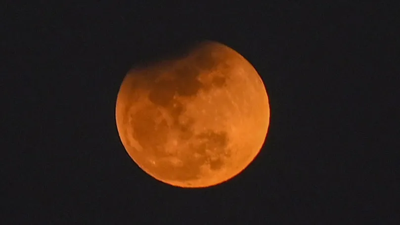
Aurora forecast issued for the night of August 27 from the NOAA Space Weather Prediction Center.(NOAA Space Weather Prediction Center)A real treat is in store for fans of skywatching this week: a partial lunar eclipse will be visible in North and South America tonight. As if this weren’t already a rare sight, it could be enhanced by the northern lights making a southward swoop thanks to a geomagnetic storm. How strong? A G1-level (minor) geomagnetic storm watch has been issued for the day of the eclipse thanks to coronal mass ejections that departed the sun on Tuesday. This could allow the northern lights to be seen as far south as parts of the U. S. northern tier, from Washington to the upper Midwest. They will likely be faint, so make sure you set up in dark areas to hopefully catch a glimpse of the two phenomena coinciding. You could also potentially take a trip to the Canadian wilderness, where you’re more likely to see both. Unfortunately, the geomagnetic storm forecast, and therefore the amount of the U. S. that may be able to see the northern lights, peaks the day after the lunar eclipse.

The Weather Channel·
Weather

Wind-whipped North Texas wildfire grows to 130 square miles

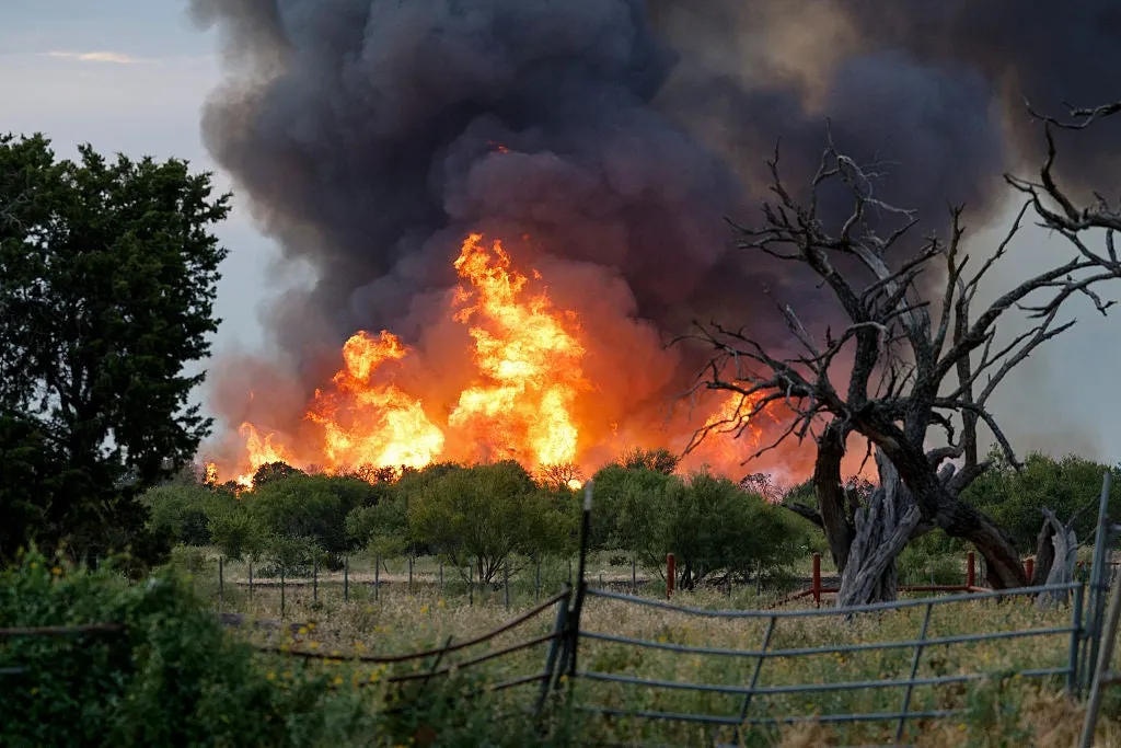
Flames from the Ross fire burn brush, Tuesday, Aug. 25, 2026, near Palo Pinto, Texas.(The Dallas Morning News/Heart Newspapers via Getty Images)The fast-moving Ross Fire has grown into one of the largest wildfires in North Texas history, prompting some evacuations and school closures west of the Dallas-Fort Worth Metroplex. The Ross Fire started as a small grass fire on Monday afternoon before it exploded in size in a matter of hours as it ripped through wide swaths of ranchland west of Fort Worth, according to the Associated Press. “It just took off way too fast,” said Katie Rochelle, whose fifth-generation family canoe rental business lost its office and repair shop outside Graford. “The wind was going in a tornado motion.”Hot, dry and windy conditions spur spreadAuthorities have not identified what caused the fire, according to the Dallas Morning News, but hot, dry and windy conditions have spurred its growth to over 130 square miles with only about 12% containment as of Thursday. Firefighters aided by water-dropping aircraft protected structures on ranchland near the tiny town of Palo Pinto.

The Weather Channel·
Weather

How to find T Coronae Borealis during this year’s eruption

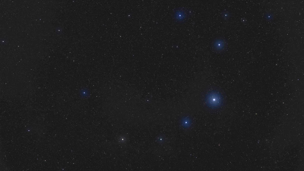
How to see the ‘Blaze Star’ nova eruption in 2026You’re about to have the chance to see a once-in-a-lifetime star explosion. Scientists are watching a system about 3,000 light-years away known as T Coronae Borealis, or the “Blaze Star.”It historically goes through a dramatic nova roughly every 80 years, and the last one happened in 1946, so you can do the math. Your turn to witness T Coronae BorealisAnd here’s the really cool part: you won’t even need a telescope. That is, as long as clouds don't block your view. Clear, dark skies will be your best friend when the "Blaze Star" erupts. The explosion will temporarily make the normally faint star bright enough to see with the naked eye. Get More of Our News on GoogleSet The Weather Company as a 'Preferred Source' to get quicker access to the news you value. It will look almost like a brand-new star has suddenly appeared in the sky, even though the explosion will have happened thousands of years ago for the star itself (I know, trippy). How to find the ‘Blaze Star’Start by looking for Corona Borealis, a small, curved arc of stars located between the constellations Hercules and Boötes.

The Weather Channel·
Weather

Tropical Storm Dolly forms in the Atlantic Ocean

The Atlantic hurricane season has been relatively quiet, but Tropical Storm Dolly has developed over the central tropical Atlantic as of Thursday. The U. S. National Hurricane Center (NHC) advises residents of the Leeward Islands to closely monitor the system. Dolly is currently moving west at about 39 km/h and is expected to maintain this pace in the coming days. The storm is forecast to approach the Leeward Islands by this weekend, but is likely to weaken into a tropical wave before arrival. DON’T MISS: What’s the difference between hurricanes, typhoons, and cyclones? According to the NHC, heavy rainfall is expected to affect the Leeward Islands late Saturday into Sunday, spreading to the Virgin Islands, Puerto Rico, and Hispaniola through Sunday and Monday. The rain could lead to flash flooding, particularly in higher terrain. Tropical Storm Dolly coincides with the recent passing of country music icon Dolly Parton. While the naming of tropical storms is based on a pre-determined alphabetical list, the timing has drawn a notable connection to the late artist for many. Stay updated on forecasts and any potential warnings from local weather authorities.

The Weather Network·
Weather

Newest Atlantic storm is named Dolly, but not for Dolly Parton

Tropical Storm Dolly forms, it's not connected to Dolly PartonIn the midst of an unusually quiet Atlantic hurricane season, a new tropical storm has been named, and it's carrying a name filled with bittersweet happenstance: Dolly. It’s a name that conjures up rhinestones, big hair and a famously generous heart. But before we all start quoting "9 to 5" wind speeds, or “big wind's comin' from daylight til dusk,” the World Meteorological Organization (WMO) did not name the storm after Dolly Parton. In fact, the name Dolly has been in the hurricane rotation since Dolly Parton was just 7 years old. Fans pay tribute beside the Dolly Parton statue on the front lawn of the Sevier County Courthouse on Tuesday, August 25, 2026, in Sevierville, Tennessee. Parton passed away at the age of 80.(Jason Kempin/Getty Images)Why is this storm named Dolly? Hurricane names aren't chosen on a whim or timed to pop culture significance, even if we sometimes wish they would be.(MORE: Tropical Storm Dolly forms, but it won't last long)Storm names are managed by an international committee at the WMO, which maintains six lists of names used in rotation.

The Weather Channel·
Weather

Scorching summer temperatures lead to consecutive days of extreme heat along the West Coast

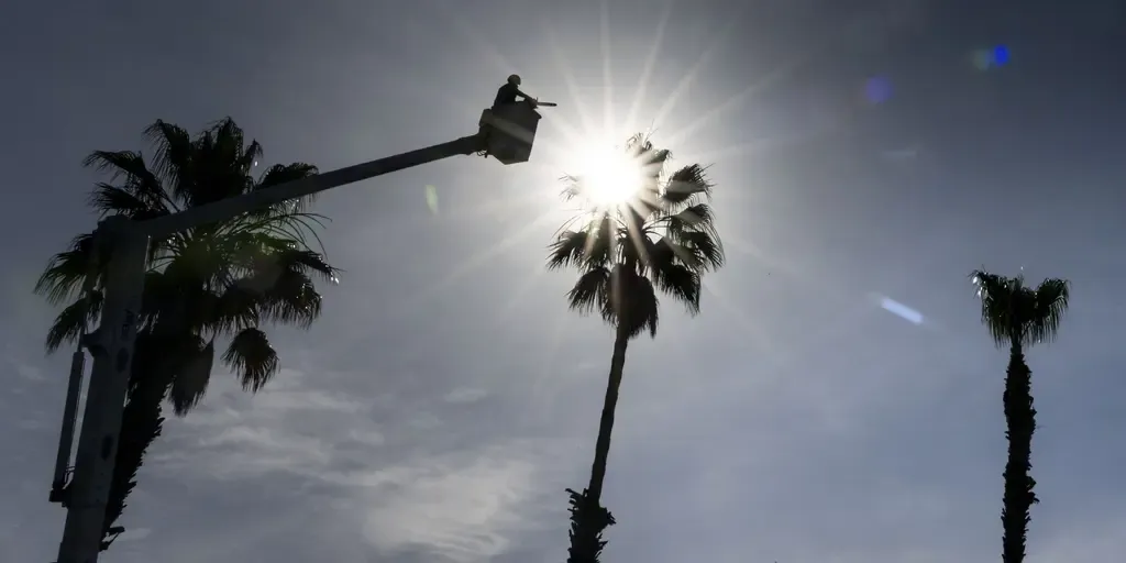
With little relief on the horizon for the West, prediction markets at Kalshi are looking at how many consecutive days temperatures will exceed 90 degrees. FILE: New sunscreen ingredient approved as summer heats up across the country As summer kicks into gear across the U. S., a new sunscreen ingredient, bemotrizinol (BEMT), has been FDA approved and protects against UVA & UVB. Board-certified dermatologist & clinical professor at NYU Langone, Dr. Doris Day, joins FOX Weather to talk about the new ingredient and how it could help you and your family. The summer heat is ramping back up across parts of the West Coast this week, with scorching temperatures over 90 degrees sizzling thousands of Americans. Forecasters are monitoring an extended heat wave returning to the Southwest and South Central U. S. as a strong ridge hovers over the regions, bringing sweltering conditions this week. Locations like Los Angeles could see 13 days in a row of temperatures over 90 degrees, according to the FOX Forecast Center. EXTREME HEAT SAFETY: RECOGNIZING SIGNS OF HEAT ILLNESS AND HOW TO TREAT ITThis would mark the longest streak for such temperatures in the city since 1995.

Fox Weather·
Weather

Bryan Norcross: Tropical Storm Dolly is likely to form but hostile conditions are ahead

Last updated at 8:45 a.m. on Thursday, Aug. 27, 2026. The disturbance we've been following is finally developing an organized circulation, so it's on the cusp of being designated Tropical Storm Dolly. Dolly's life is going to be short, however. Soon-to-be Dolly is in a pocket of atmosphere that's reasonably supportive of development. There is Saharan dust nearby, but the plume is thinner than it has been, so it's having less effect on the system than it did on other disturbances earlier in the season. INVEST 93E POISED TO BECOME NEXT NAMED STORM AS PACIFIC TROPICAL ACTIVITY BOOMS AMID FAVORABLE EL NIÑO PATTERN Satellite imagery of Invest 96L, likely to become Tropical Storm Dolly.  (CIRA CSU / NOAA)Beginning tomorrow, the atmospheric environment is forecast to deteriorate, however. Hostile upper winds are forecast over the eastern Caribbean islands and nearby Atlantic waters. As a result, the storm should weaken into a depression or a gusty moisture surge. On the current schedule, the squally weather will reach the northeastern Caribbean islands on Sunday and Puerto Rico Monday.

Fox Weather·
Weather

Rare tornado and waterspout confirmed in Prince Edward Island

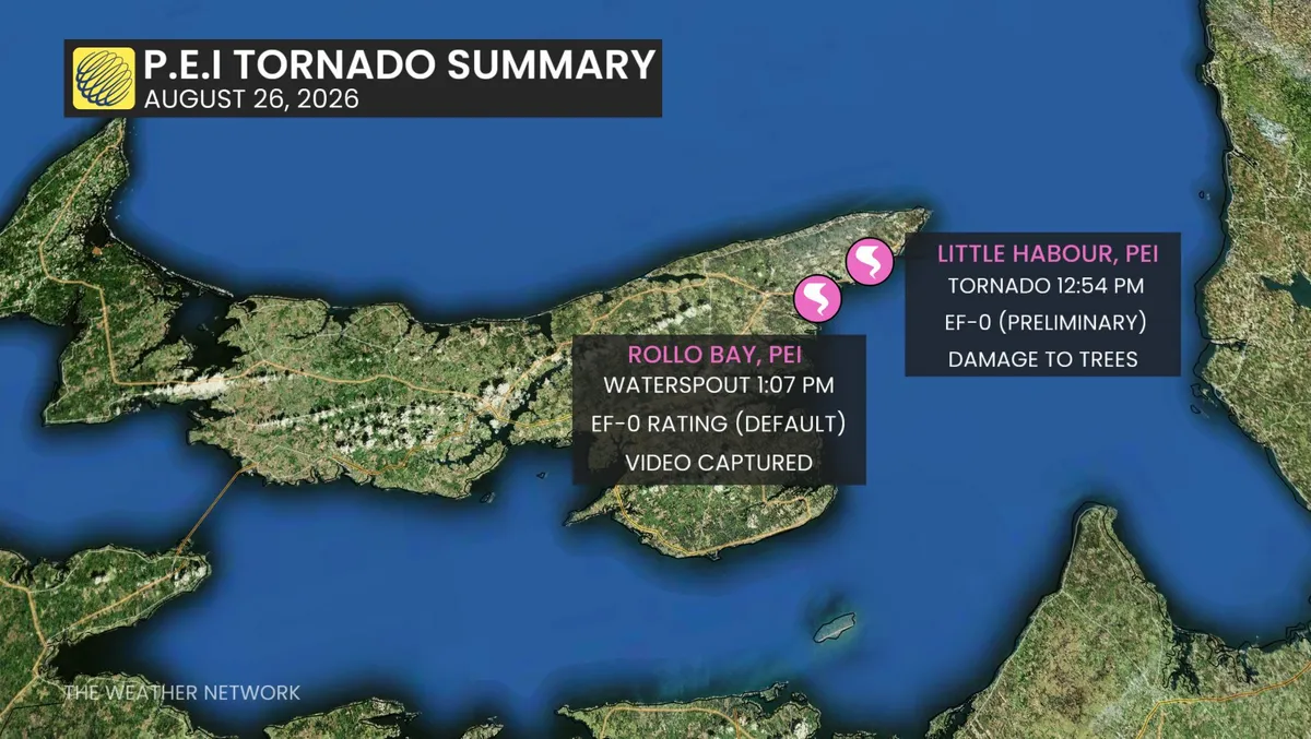
A mid-afternoon storm on Wednesday brought high winds, hail, heavy rain, and lightning to Prince Edward Island. In a rare event for the province, the Northern Tornadoes Project (NTP) has confirmed a tornado and a waterspout, as well. DON'T MISS: AI is revolutionizing weather forecasting — but it won’t solve the weatherVideo captured near Little Harbour, east of Souris, shows a tornado causing tree damage. NTP has given it a preliminary EF0 rating, with estimated maximum winds of 115 km/h. Further analysis, including satellite imagery, is pending. Another video captured a waterspout over Rollo Bay, west of Souris. No damage was reported in this case. The storm was highly variable, switching between heavy rain, sunshine, and downpours. Charlottetown police also issued warnings about localized flooding within the city. First tornado in nearly 20 yearsWednesday’s tornado marked the first in nearly two decades for P. E. I. The last confirmed tornado occurred on August 19, 2007, when a waterspout came ashore in Crapaud County and was classified as an EF0. Content continues belowThe most notable tornado on record for the province was an EF1 in 1974.

The Weather Network·
Weather

How deadly flood disaster in Nepal and Tibet may have happened

Watch as raging floodwaters snap bridge in half in NepalBENGALURU, India (AP) — The deadly flash flood in Nepal on Wednesday was likely caused by a huge chunk of a glacier that broke off and temporarily dammed a river, according to preliminary investigations by scientists. That may have led to the backed-up water surging downstream with enormous force a few hours later, they suggested. Scientists are still piecing together information from satellite and ground-level data to figure out exactly what happened to cause the flood, which killed at least 273 people and left more than 1,300 missing, including foreigners and pilgrims.(WATCH: The moment the massive surging flood slammed into a building)The U. S. Geological Survey on Wednesday reported a magnitude 5.2 glacier collapse that sent debris flowing downstream with catastrophic impact on communities. It said its determination was based on data from nearby seismic stations, long period seismic waves and satellite imagery. “A lower part of a glacier has really come off,” said Jakob Steiner, a geoscientist at the University of Graz in Austria, who is currently based in Bangladesh.

The Weather Channel·
Weather

How to capture the Perseid meteor shower on your smartphone

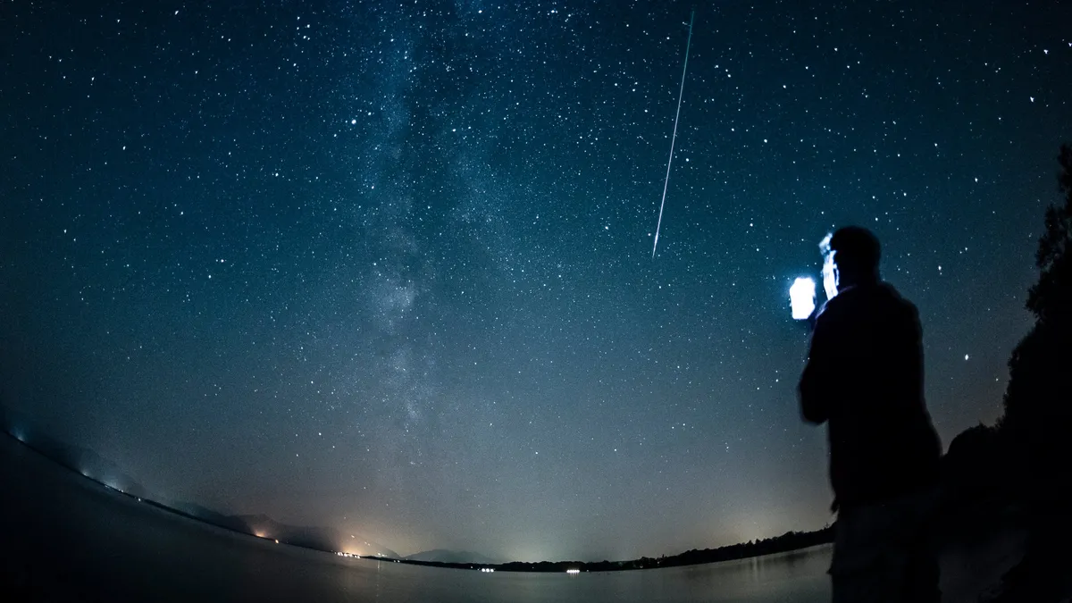
How to shoot the Perseid meteor shower with just your phoneThis year's Perseid meteor shower is supposed to be one of the most stunning in years, and the only thing better than seeing it yourself is capturing the perfect photo so you can see it again for years to come. Think you're out of luck with just a smartphone? You're actually not. Here are some of the best tips and tricks to shoot the Perseids:But first, the when and where... While the meteor shower runs from July 17 to Aug. 24, the peak is Wednesday night (Aug. 12) into the early hours of Thursday (Aug. 13). This coincides with the new moon, which means there will be no moonlight interference for this celestial show.(MORE: One moon, two shows: the strangest sky day of 2026)This brings us to our first tip — get away from the city lights. Get More of Our News on GoogleSet The Weather Company as a 'Preferred Source' to get quicker access to the news you value. Light pollution can make it difficult to both view the meteors with your eyes as well as capture them on your phone.(Lisa Pringle)Tips and tricks for taking picturesBefore you head out, make sure to grab a tripod because having your phone stable is key.

The Weather Channel·
Weather

July outlook trends hotter in the East, drier in Texas

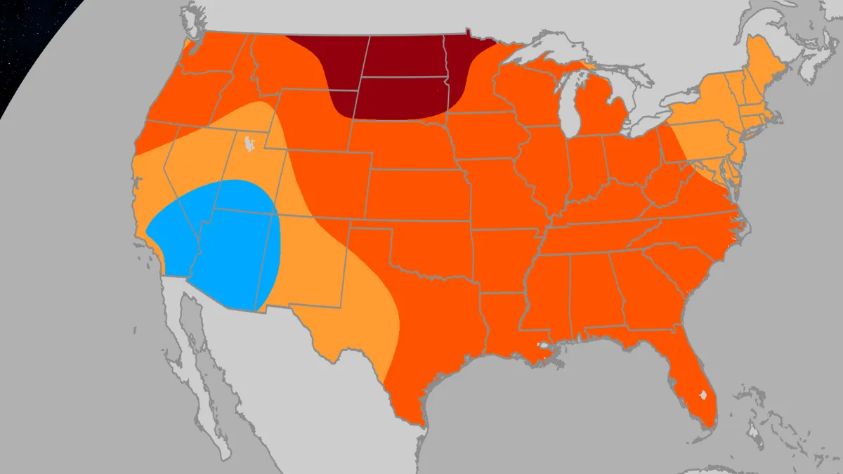
Here’s your July outlookJuly temperatures could be hotter than usual in much of the East and central U. S., and parts of the Plains could trend much drier, according to a just-released outlook by Atmospheric G2 and The Weather Company. Key temperature takeawaysThe best chance for a hotter than average July is in the Northern Plains, including the Dakotas, parts of eastern Montana, northeastern Wyoming and western Minnesota. However, as you can see in the animation below, our outlook has trended hotter in the eastern two-thirds of the nation from the outlook released in mid-June. Parts of New England and the Northeast may be a bit less hot for the month, overall. The best chance for at least a somewhat cooler July appears to be in the Desert Southwest, for reasons we'll explain a bit later. The persistence of the heat in the East is quite uncertain. "We are a bit uneasy going into July, given the pattern doesn't appear as if it will resemble previous strong (El) Niño events," according to Todd Crawford, Vice President of Meteorology at Atmospheric G2 and chief author of the outlook.

The Weather Channel·