BBlogFlow

Categories

Weather

5149 articles

Weather

Several earthquakes rattle Pacific Ring of Fire in latest burst of seismic activity

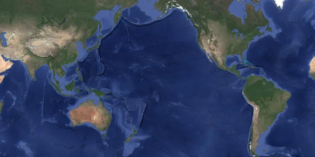
It has been an active stretch of seismic activity for the Pacific Ring of Fire over the last few hours. Beginning Friday night, several earthquakes fired off along the active region from California to Indonesia, all ranging in magnitudes from 3.5 and higher. A magnitude 4.8 earthquake started things off last night off the coast of Northern California. At approximately 7:41 p.m. local time, the quake struck about 52 miles west of Petrolia. The United States Geological Survey (USGS) reports that shaking was felt in areas such as Eureka and Fort Bragg. CALIFORNIA, UNITED STATES - JUNE 1: An aerial view of Glass Beach by the Pacific Ocean in Fort Bragg, California, United States on June 1, 2023. Glass Beach is a beach adjacent to MacKerricher State Park near Fort Bragg, California, named from a time when it was abundant with sea glass created from years of dumping garbage into an area of coastline near the northern part of the town. It is illegal to collect glass at this state park.

Fox Weather·
Weather

El Niño Hawaii 2026: Hurricanes, Kona lows & winter forecast

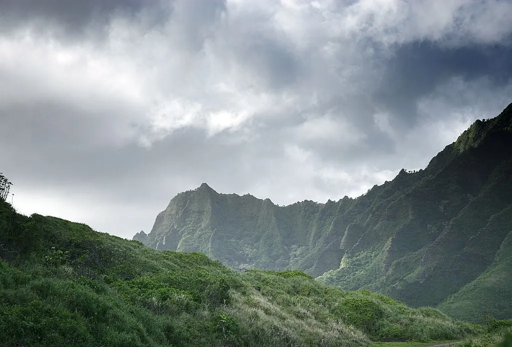
El Niño’s dual season threat to Hawaii’s weatherA strengthening El Niño could reshape Hawaii's weather across two very different seasons — and neither one looks typical. The tropical threat comes first, followed by a winter that trends drier than average with fewer Kona lows than usual. Two seasons, two threats, one overarching patternHawaii has a lot to watch over the next several months, and the threats couldn't look more different. First comes a more active tropical season, raising the chances for nearby storms to bring flooding and dangerous surf.(MORE: Is a record super El Niño inevitable?)Then, as the tropics quiet down, El Niño flips the script. Instead of Hawaii's typically wet winter, conditions trend drier than average — a notable shift from what residents usually expect during the islands' rainy season. El Niño (top) and La Niña (bottom) show opposite shifts in Pacific Ocean patterns, influencing tropical storm activity near Hawaiʻi and the risk of Kona lows in winter. (NOAA)More tropical threats this season El Niño flips the script on where we see the most tropical activity. While it suppresses Atlantic hurricanes, the opposite happens in the Central Pacific.

The Weather Channel·
Weather

Wedding and event planning: how to use the forecast for the best weather

Wedding or big event? How far out the weather forecast is accurateWhether you are deciding what to do for your weekend or planning a wedding, it helps to know when the weather forecast actually starts to come into focus. Meteorologist Caitlin Kaiser explains the best ways to use the forecast to your advantage for event planning. TimelineWhen you are looking at the forecast to make decisions seven to 10 days out, that is really just for overall trends and patterns, Kaiser explains. “This is for direction and not detail,” she says. “Such as whether it will be wetter or warmer than normal.”When you get to five days out, details start to come into focus and you can begin making solid plans. Two to three days is what she calls “the sweet spot” for most event planning, allowing for reliable short-term decisions. Get More of Our News on GoogleSet The Weather Company as a 'Preferred Source' to get quicker access to the news you value. At one day out, you can make firm decisions. The forecast is 96% to 98% accurate at that point. LocationThere is one big caveat to forecast accuracy: location.

The Weather Channel·
Weather

Ask a met: Why do clouds appear in so many colors?

“Why do clouds appear in so many colors?” – JeanOne of my favorite things about clouds is how unique they are in appearance — whether in shape, size or color. But, let's start with how they get to be their most familiar color: white. Clouds are made up of tiny water droplets or ice crystals that are similar in size to the wavelengths of sunlight. This means when they scatter the light, they scatter all the colors on the visible spectrum equally (remember ROYGBIV?), which our eyes perceive as white. However, when clouds get thicker, more of the sunlight can get blocked from passing through, which makes them appear more gray in nature. When the sun starts to go down, the story changes. Get More of Our News on GoogleSet The Weather Company as a 'Preferred Source' to get quicker access to the news you value. During sunrise and sunset, the sun is low in the sky, creating a longer path for the light to travel. As the sun’s rays move along the path, the shorter wavelengths get scattered out first — leaving behind the longer wavelengths: red, orange and yellow. And these colors are what is then reflected in the clouds, giving us some of the most breathtaking sunset experiences.

The Weather Channel·
Weather

Rounds of thunderstorms, dangerous flash flooding slam Southeast as multiday event lingers into next week

By the end of the week, at least 1 to 3 inches of rain will likely have fallen for most of the Southeast. THE TAKEAWAYThe cold front that created severe storms in the Northeast is pushing into the South. Sunday storms will pose a damaging wind threat. By Monday, at least 1 to 3 inches of rain will likely have fallen for most of the Southeast. The South has seen little relief as a flash flood threat continues its grasp on the region until this weekend. The active weather pattern began early this week with thunderstorms, with the severe weather threat ramping up on Wednesday and then shifting to a flood threat on Thursday. Now, that threat will remain through the weekend. Daily rounds of showers and storms will increase throughout the weekend, keeping things unsettled. KNOW YOUR FLOOD TERMINOLOGY: WHAT FLOOD WATCHES, WARNINGS AND EMERGENCIES REALLY MEANSoutheast storms set up(FOX Weather) A front lingering over the region has slowed down, keeping the same areas under a threat for flash flooding all the way through Monday.

Fox Weather·
Weather

Why Hurricane Katrina’s storm surge was uniquely destructive

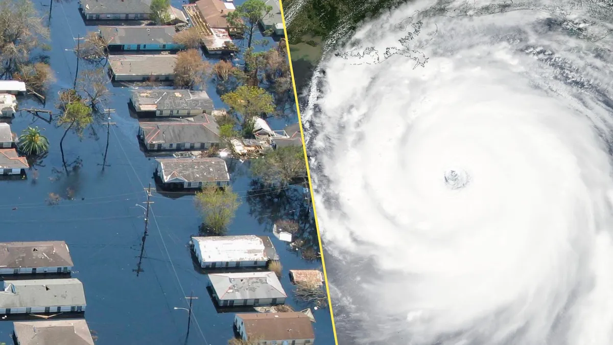
Hurricane Katrina pushed the sea 10 kilometres inland in some communities. This wall of water turned a destructive cyclone into a generational tragedy along the northern Gulf Coast. More than 1,300 people died as Katrina’s fierce winds and unprecedented storm surge changed both coastlines and communities. A confluence of factors contributed to Katrina’s legacy as one of the worst storms in living memory. But it all started with the hurricane’s unique storm surge. DON'T MISS: What is a hurricane's storm surge—and why is it so dangerous? Katrina was a classic peak-season hurricaneA weak disturbance that blew off the coast of Africa on Aug. 11 would grow into one of the most destructive hurricanes in modern history. This disturbance formed into Tropical Storm Katrina over The Bahamas on Wednesday, Aug. 24. Katrina quickly intensified into a hurricane as it made landfall south of Miami, Florida, the following day. The system continued organizing as it moved west into the Gulf of Mexico. Faced with favourable conditions and very warm waters, Katrina underwent rapid intensification over the course of two days.

The Weather Network·
Weather

Dolly dissipates in Atlantic, but heavy rain may cause flooding

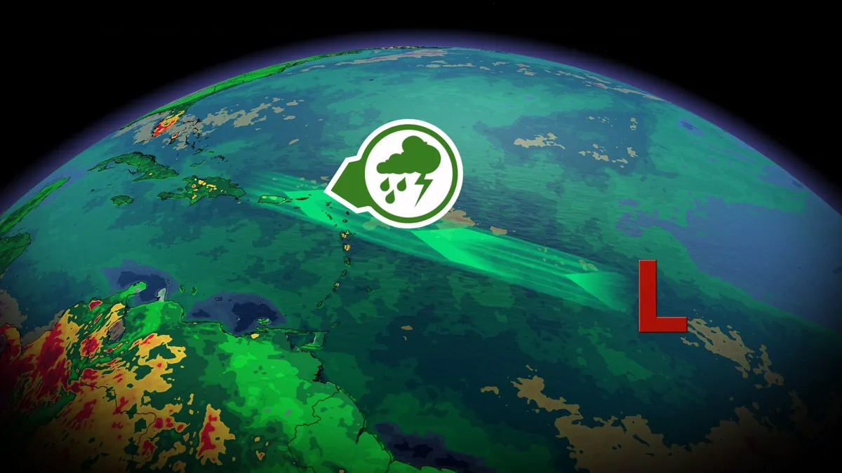
The fourth named storm of this Atlantic hurricane season didn’t last very long in the face of hostile conditions in the region. Forecasters announced Friday morning that Tropical Storm Dolly lost its tropical characteristics just one day after it formed in the tropical Atlantic. The storm’s story isn’t done just yet. Dolly’s remnants may bring beneficial rains to the Caribbean, and we’ll have to watch the potential for regeneration in the days ahead. DON’T MISS: How do Atlantic hurricanes get their names? A short-lived tropical stormTropical Storm Dolly formed from a disturbance that rolled off the coast of Africa earlier this week. Even though we’re entering peak season for tropical systems in the Atlantic, conditions remain unfavourable across the basin due to a powerful El Niño in the neighbouring Pacific. The storm remained weak and struggled against the odds, ultimately falling apart amid strong wind shear on Friday morning. Content continues belowBeneficial rains for the Caribbean are possibleTropical systems aren’t the only way El Niño influences overall weather patterns. We’ve seen a historically dry summer across parts of the Caribbean this year.

The Weather Network·
Weather

Severe, rotating storm risk builds Friday across New Brunswick

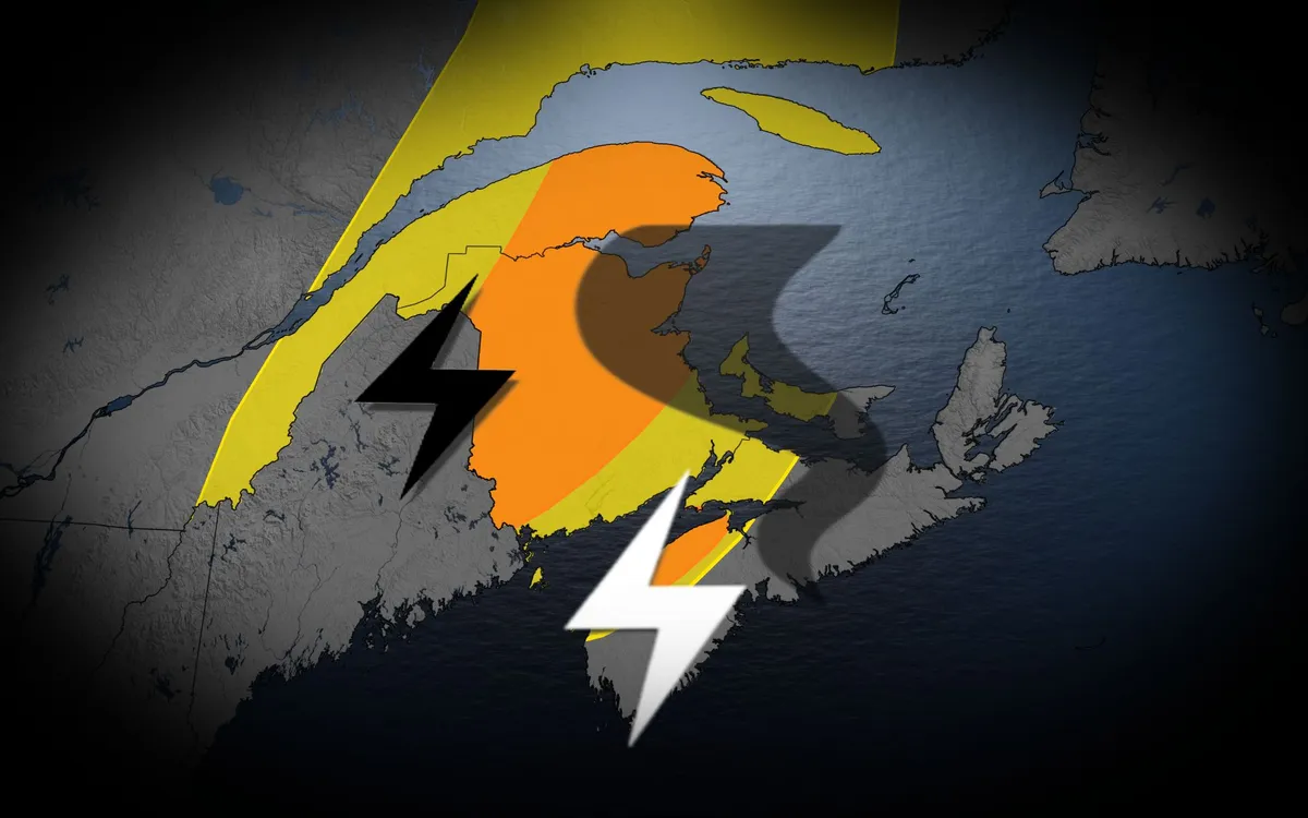
An active week rolls into Friday across parts of the Maritimes as a risk for severe thunderstorms builds for some communities. Folks across much of New Brunswick and the Gaspé Peninsula will experience the bulk of the unsettled weather to end the week. Stay alert for rapidly changing conditions and keep an eye on watches and warnings in your area. DON’T MISS: First tornado in nearly 20 years confirmed in Prince Edward IslandFriday thunderstorm risk rises in the MaritimesA potent cold front will slide through the Gaspé Peninsula and New Brunswick during the day Friday, providing the spark needed for widespread thunderstorms to develop in the unstable environment. Initial storm development is expected in southern New Brunswick by the early afternoon, affecting Fredericton later in the day. These strong to severe storms will track northeast through the evening, and some may continue past sundown into the overnight hours. Large hail and strong wind gusts will be the primary threat in Friday’s most intense storms. Some areas may see several rounds of thunderstorms, leading to high rainfall totals and the potential for localized flooding.

The Weather Network·
Weather

Heat waves linked to wide variety of medical emergencies, study finds

Extreme heat places more stress on the human body than most folks realize. A team of researchers with Northwestern University conducted a wide-ranging study to identify which conditions caused residents of Chicago to seek medical attention during extreme heat events. The results were surprising, and prove that heat exhaustion and heat stroke are far from the only problems you can encounter on a very hot day. DON’T MISS: Heat waves are deadlier than previously thought, study findsUnderstanding the scope of medical emergencies due to extreme heat is vital for helping vulnerable populations endure summer’s most trying conditions. Chicago is no stranger to major heat waves. An infamous event in 1995 claimed more than 700 lives across the city, marking one of the U. S.’s deadliest extreme heat events in modern history. Experts across the academic spectrum have long sought to understand the stress that elevated temperatures can place on the human body, producing everything from heat-safety tips to metrics like the humidex.

The Weather Network·
Weather

Lake Powell hit a record low, what this means for power

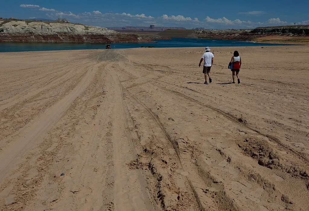
Lake Powell hit a record low; when could Glen Canyon Dam shut off? Lake Powell, the second-largest reservoir in the United States, just fell to its lowest water level since it was first filled in the 1960s. But the biggest threat comes when the water drops another 30 feet. At that point, the lake hits what the Bureau of Reclamation calls "minimum power pool. " If the water drops below the intake pipes, the massive turbines inside the Glen Canyon Dam will no longer be able to spin. Lake Powell has just dropped to a record low, however, the bigger crisis occurs if the lake drops another 30 feet.(Getty Images)Breaking down the critical water levelsFull pool: This is reached when waters are 3,700 feet above sea level and the dam is considered full because any more water would spill over the top. Target level: 3,525 feet above sea level is what water managers want to keep Lake Powell at or above in order to keep up normal hydroelectric operations and downstream releases. Minimum power pool: Once the waters sink to 3,490 feet above sea level, we start to have some concerns. This is the minimum level at which the dam can produce power.

The Weather Channel·
Weather

Tropical Storm Dolly forms in Atlantic, but won't last long

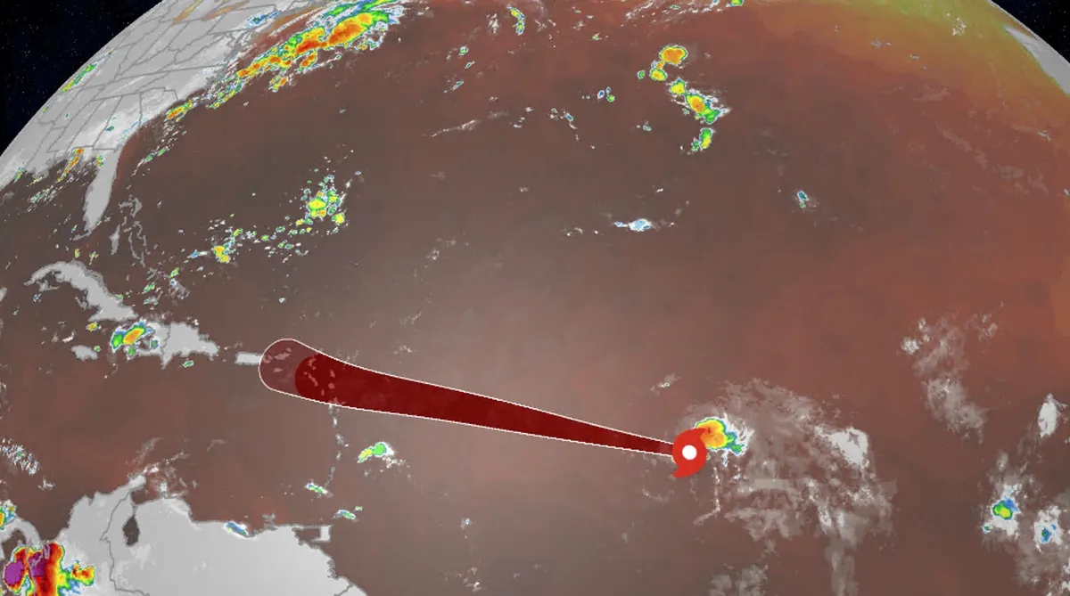
Tropical Storm Dolly forms, it's not connected to Dolly PartonTropical Storm Dolly has been ripped open by an increasingly hostile environment enhanced by El Niño, but could still bring rain and wind to parts of the Caribbean next week. Where the storm is nowTropical Storm Dolly formed Thursday morning, becoming the fourth storm of the 2026 Atlantic hurricane season. By late Friday morning, observations showed that Dolly was an open tropical wave and no longer a tropical storm. The timing of the use of this name for a tropical storm is "purely coincidental," according to the National Hurricane Center. The name "Dolly" was chosen in the early 1990s, has been on a rotating list of names since 1996 and was also used prior to the 1990s. (MORE: A tropical storm is called 'Dolly,' but it's not meant as a tribute)The remnants of Dolly will face a combination of dry air and wind shear as it draws closer to the Leeward Islands. These two factors, both enhanced by the strengthening El Niño, are hostile to tropical systems. They're the same factors other tropical wannabes have fought against and lost in recent weeks.

The Weather Channel·
Weather

More than 500 deaths now confirmed in Nepal-China flood disaster, hundreds still missing

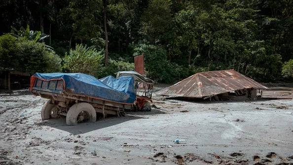
Rescuers crawl through mud to reach people trapped in Nepal tunnelRescuers pulled out survivors caked in dark brown mud and helicopters lifted stranded people to safety Friday as Nepal and China raced to respond to catastrophic flash floods that have now killed more than 500 people, with hundreds still missing. Nepal’s National Disaster Risk Reduction and Management Authority says the death toll in flash floods has risen to 538. Nepali police later put the number of deaths higher at 547. The authority said in an update Friday that the number of missing people remained at 977 while 3,742 people have been rescued. The authority said 14,829 security personnel have been mobilized for search and rescue operations. China state broadcaster CCTV said Friday that five people died in flooding along Tibet’s border with Nepal and 558 remained missing. Tibet is a region in China.

The Weather Channel·
Weather

Bryan Norcross: Tropical Storm Dolly is showing signs of already weakening

Tropical Storm Dolly battling hostile conditions as it treks across Atlantic After forming on Thursday, Tropical Storm Dolly is fighting a slew of hostile conditions from a brewing Super El Niño as it treks across the Atlantic Ocean. Strong winds and Saharan dust will significantly weaken Dolly, with forecasts expecting the system to become depression or gusty moisture surge rather quickly. Last updated at 9:00 a.m. on Thursday, Aug. 28, 2026. Tropical Storm Dolly finally formed yesterday out of the disturbance we've been following across the tropical Atlantic. It's speeding along at almost 25 mph, heading for an increasingly hostile atmospheric environment as it approaches the northeastern Caribbean islands tomorrow. The system is surrounded by Saharan dust and dry air cover, which is choking off Dolly's moisture. In addition, the mid- to upper-level winds blowing across the system have not allowed the thunderstorms to build around the center. Atlantic basin (Bryan Norcross)WHAT’S THE DIFFERENCE BETWEEN A TROPICAL DEPRESSION, TROPICAL STORM AND HURRICANE? The National Hurricane Center is forecasting Dolly to remain a weak tropical storm into tomorrow.

Fox Weather·
Weather

When is wildfire smoke too dangerous for outdoor recess?

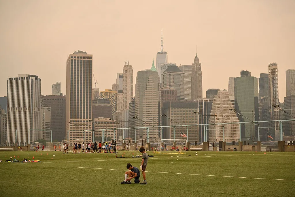
If wildfire smoke is blanketing your area, you might think there's an air quality threshold that will send your kids indoors. Well, there isn't. August 28, 2026Updated: August 28, 2026, 11:03 am EDTPublished: August 28, 2026, 10:57 am EDTWildfire smoke and schools: When is it too smoky for recess? Wildfire smoke and poor air quality can have serious consequences for children’s health; however, not all school districts abide by the same rules when it comes to sending kids outside or staying inside for recess. Imagine this: Two schools 5 miles apart are engulfed in the exact same cloud of wildfire smoke. At 11 a.m., one principal calls recess indoors. The other sends kids out to the playground. Who decides when the air is too harmful for children? The reason is that when it comes to air quality, there are recommendations, but no clear-cut national mandates that school districts have to abide by when it comes to air quality and outdoor time.(MORE: What you're actually breathing in wildfire smoke)The federal government and several states have published detailed air quality guidelines for schools, but in most places, they are entirely optional.

The Weather Channel·
Weather

2026 lunar eclipse photos: Best images from North and South America

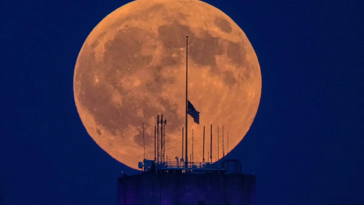
1/9The moon begins the penumbral stage during a partial lunar eclipse over the Israeli coastal city of Netanya on Aug. 28, 2026. (Photo by JACK GUEZ / AFP via Getty Images)If weather conditions or your sleep schedule got in the way of seeing Thursday night's total lunar eclipse, we've found some of the best images of what you missed. For those who were lucky enough to have clear skies, the celestial event was visible for a few hours Thursday night into early Friday morning for much of North and South America and parts of Europe. And as you can see in the slideshow at the top of this page, it did not disappoint. The moon was already in the spotlight. NASA sent the Artemis II astronauts on a record-breaking lunar flyby in April, the prelude to eventually landing on the surface and building a base swarming with people and robots over the next several years. “This is a great time to be part of the space program, right? We’re not slowing down,” NASA astronaut Jack Hathaway told The Associated Press from the International Space Station last week.

The Weather Channel·
Weather

September outlook: Above-average fall heat, Northwest cools

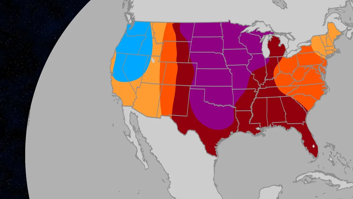
September outlook: How your first month of fall will feelThe first month of meteorological fall is here. September looks to run above average across most of the U. S., according to a just-released outlook by Atmospheric G2 and The Weather Company. The Pacific Northwest is the one region bucking the trend, with cooler-than-normal temperatures expected. Key temperature takeawaysHottest through the middle of the country. The strongest above-average signal runs in a corridor from North Dakota south through the Plains and into Texas. Warm from the Gulf Coast to the Great Lakes. Above-average temperatures also cover the Rockies and the mid-Atlantic. Only slightly warmer than average in the Southwest and Northeast. These areas still trend above normal, but the departure is modest compared with the Plains. Coolest in the Pacific Northwest. This region has the best chance for sweater weather, with below-normal temperatures offering some relief after a difficult stretch of fire weather.(AG2/The Weather Company)September's precipitation outlookWettest in the Four Corners.

The Weather Channel·
Weather

Typhoon Saudel will bring moisture from China to rain in B.C

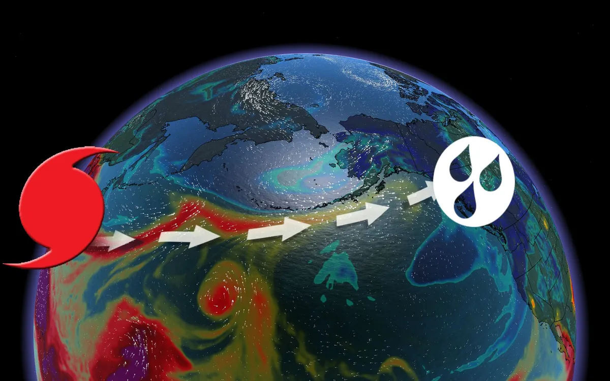
A typhoon set to make landfall in China will have impacts all the way in British Columbia. Typhoon Saudel has already made its way through Japan, having hammered Okinawa and Japan’s other southwestern islands. Over 24 hours, the country saw 230 mm of rainfall, causing landslide warnings in Japan’s Amami region. TROPICAL STORMS: The Weather Network’s Hurricane and Tropical Storm HubOver 150 flights were cancelled at Okinawa Naha Airport due to Typhoon Saudel passing over the islands. The tropical storm is set to make landfall in mainland China sometime between Thursday night and Friday local time. Saudel’s impacts will be felt an ocean awayThough Typhoon Saudel is expected to weaken after it reaches China, the high moisture content will move to the other side of the Pacific. The jet stream will carry the moisture, where it will be picked up by a low pressure system over the Bering Sea. From there, the system will pull said moisture further east into Alaska. Content continues belowREAD MORE: Krakatoa’s eruption created the loudest sound in human historyBy Friday, a low pressure system will move to settle over Alaska, while a high pressure system off the B. C.

The Weather Network·
Weather

Severe storm risk for parts of Ontario, Quebec Thursday, tornadoes possible

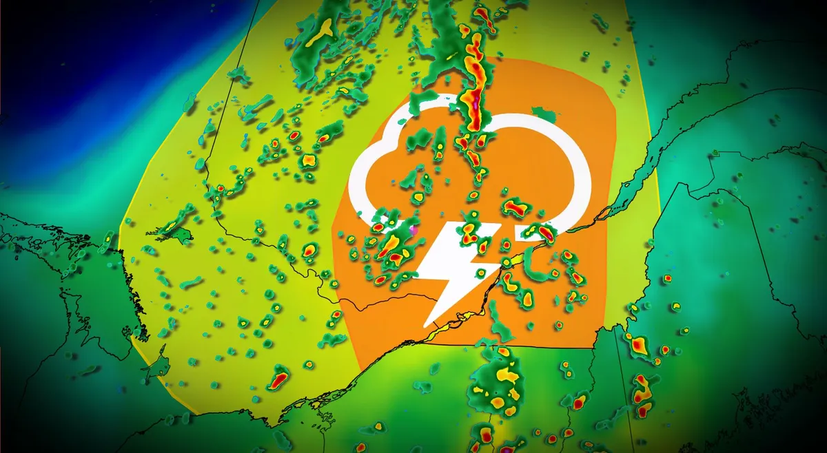
A cold front is set to move across Ontario and Quebec on Thursday, bringing the potential for severe thunderstorms. Ample moisture from a lifting warm front in the morning will combine with a cold front by early afternoon to trigger storm development. SEE ALSO: This week's Full Moon will produce a 'nearly-total' lunar eclipse in the skyKeep an eye out for weather alerts or warnings throughout the day, as the severe weather environment will build with daytime heating. Severe thunderstorm threat builds through ThursdayThe most significant activity is expected to occur east of the St. Lawrence River, particularly in the Eastern Townships. Conditions with high instability and wind shear could produce hazards such as strong winds and hail, potentially up to the size of quarters. There is also a risk of rotating storms, especially near the international border and stretching toward Quebec City, where shear and instability remain elevated. Key threats include heavy rainfall, large hail, and strong wind gusts. The risk of one or two tornadoes cannot be ruled out, particularly in the areas near the border and the Eastern Townships.

The Weather Network·