Wedding and event planning: how to use the forecast for the best weather
This story deserves to be shared
Send it to someone who'd care, or post it on your networks.
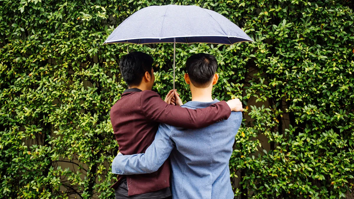
Wedding or big event? How far out the weather forecast is accurateWhether you are deciding what to do for your weekend or planning a wedding, it helps to know when the weather forecast actually starts to come into focus. Meteorologist Caitlin Kaiser explains the best ways to use the forecast to your advantage for event planning. TimelineWhen you are looking at the forecast to make decisions seven to 10 days out, that is really just for overall trends and patterns, Kaiser explains. “This is for direction and not detail,” she says. “Such as whether it will be wetter or warmer than normal.”When you get to five days out, details start to come into focus and you can begin making solid plans. Two to three days is what she calls “the sweet spot” for most event planning, allowing for reliable short-term decisions. Get More of Our News on GoogleSet The Weather Company as a 'Preferred Source' to get quicker access to the news you value. At one day out, you can make firm decisions. The forecast is 96% to 98% accurate at that point. LocationThere is one big caveat to forecast accuracy: location.
This article is an excerpt. To read the full content, visit the original source. The Weather Channel
Related articles
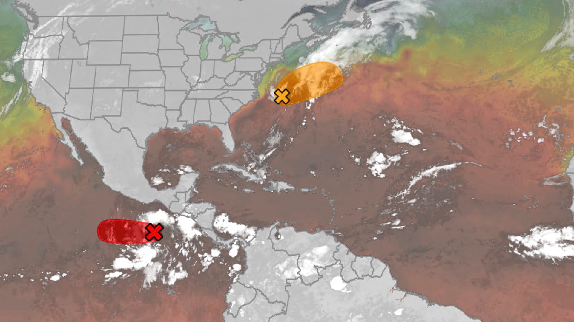
Hurricane season maps tracker: Latest forecasts and more
These are the maps to help you track ongoing Pacific and Atlantic tropical systems.
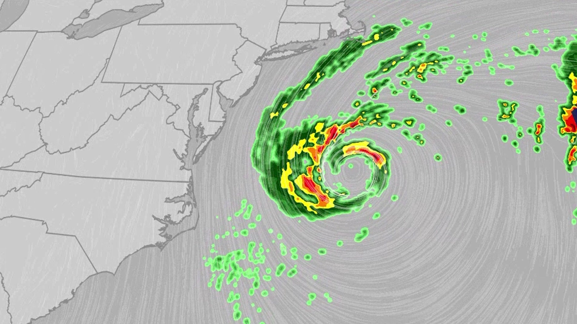
Nor'easter lashes coast from Carolinas to Northeast
The nor'easter, which could be future Josephine, will bring dangerous conditions for multiple days this week.
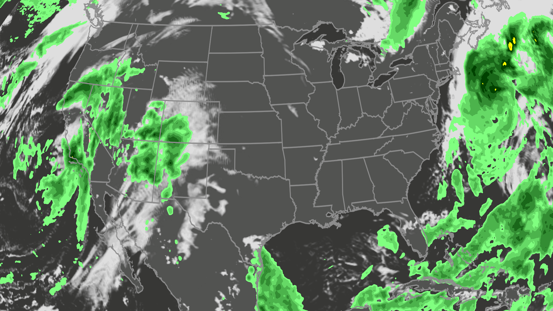
Orionid meteor shower 2026: cloud cover forecast by region
The best night to see the orionids is Wednesday into Thursday, but could the weather get in your way? Here is the forecast.
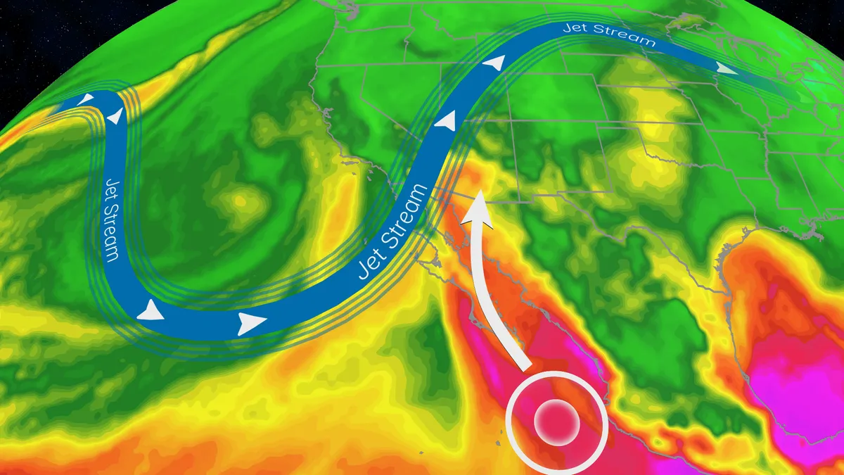
Trudy’s moisture will trigger a flood risk for Southwest US
Hurricane Trudy will bring flood threat to the Southwest USTrudy is off the Mexican coast, but its moisture will pour into the southwestern U. S. and will help fuel a multiday flood risk across seven states this week from California to Colorado. A dip in the jet stream will also funnel in moisture from the Pacific as a strong low-pressure system moves into the region. Timing out this week’s rainfallWednesday: The highest risk of flooding on Wednesday covers much of Arizona and New Mexico, and portions of Colorado and Utah, as well as Southern California. There will be an abundance of moisture available to support heavy downpours and training storms. This means storms will produce heavy rain over the same areas for long periods of time. The Weather Prediction Center is forecasting rainfall rates as high as 2 inches per hour. Some of the biggest concern will be the possibility of mudslides over recent burn scar areas as well as slow canyons and arroyos. If you have plans to visit any of the national parks in the West this week, make sure you check the forecast daily and pay attention to any warnings or advisories issued.
Typhoon Champi churns across Pacific as another tropical threat begins to take shape
THE TAKEAWAYChampi is expected to peak as a violent super typhoon with winds exceeding 160 mph. Another tropical threat — designated Invest 94E — is taking shape in the Pacific. The Pacific basin remains active amid a brewing Super El Niño. The Pacific remains a hotbed of tropical activity this week as Typhoon Champi churns across the region, while the FOX Forecast Center keeps a close eye on another area for potential development. The basin remains supercharged, fueling monster storms across the basin, including Champi, which has impacted Guam in recent days, with little sign of relief as Tropical Storm Trudy lingers near Mexico. CALIFORNIA STORMS COULD BRING MUCH-NEEDED RAIN AND RELIEF TO WILDFIRE-WEARY AREASThe FOX Forecast Center is also monitoring an additional storm that could develop in the near future. Satellite imagery showing the Northeast Pacific tropics. (NOAA / FOX Weather)Behind Tropical Storm Trudy, an area to watch with highly conductive environmental conditions is being observed south of Mexico, with a high probability of tropical development over the next seven days.
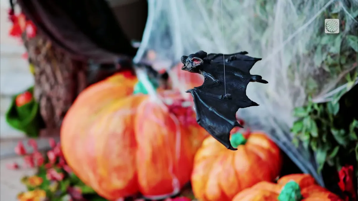
Spooky and safe: Halloween decorations that won't harm wildlife
With Halloween around the corner, here are some simple swaps to make your display a treat for the neighbourhood...without tricking our wildlife. Skip the stretchy, fake spider webs outdoors. Birds and bats can get tangled in them. Try window clings or indoor webs instead. Keep lighting low and warm. Avoid bright spotlights and flashing lights, and turn decorations off overnight. Secure your decorations. Loose strings, fishing line and dangling decorations can entangle wildlife or blow away. (Marta Czurylowicz/The Weather Network)To prevent potential fires, choose battery-operated candles or lights instead of open flames. Be mindful of noise and motion. Loud, startling props can disturb animals, especially at night. Clean up daily. Pick up loose plastic, check for fallen decorations and make sure nothing has become a hazard. When you're done with those gourds, diispose of them responsibly so they don't attract wildlife, potentially putting them in harm's way on roads or in spaces near humans. The goal is to keep things spooky for the neighbours, not dangerous for nature.
0 comments
No comments yet. Be the first to share your thoughts!