Typhoon Champi churns across Pacific as another tropical threat begins to take shape
This story deserves to be shared
Send it to someone who'd care, or post it on your networks.

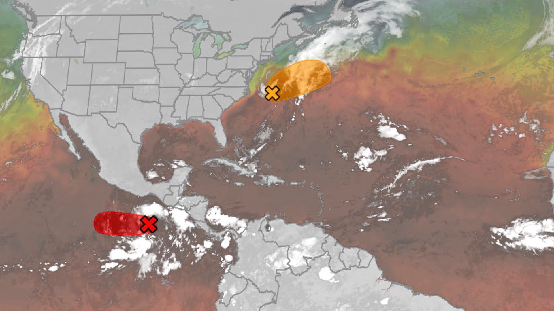
THE TAKEAWAYChampi is expected to peak as a violent super typhoon with winds exceeding 160 mph. Another tropical threat — designated Invest 94E — is taking shape in the Pacific. The Pacific basin remains active amid a brewing Super El Niño. The Pacific remains a hotbed of tropical activity this week as Typhoon Champi churns across the region, while the FOX Forecast Center keeps a close eye on another area for potential development. The basin remains supercharged, fueling monster storms across the basin, including Champi, which has impacted Guam in recent days, with little sign of relief as Tropical Storm Trudy lingers near Mexico. CALIFORNIA STORMS COULD BRING MUCH-NEEDED RAIN AND RELIEF TO WILDFIRE-WEARY AREASThe FOX Forecast Center is also monitoring an additional storm that could develop in the near future. Satellite imagery showing the Northeast Pacific tropics. (NOAA / FOX Weather)Behind Tropical Storm Trudy, an area to watch with highly conductive environmental conditions is being observed south of Mexico, with a high probability of tropical development over the next seven days.
This article is an excerpt. To read the full content, visit the original source. Fox Weather
Related articles
Super Typhoon Champi is chasing the strongest storm on Earth
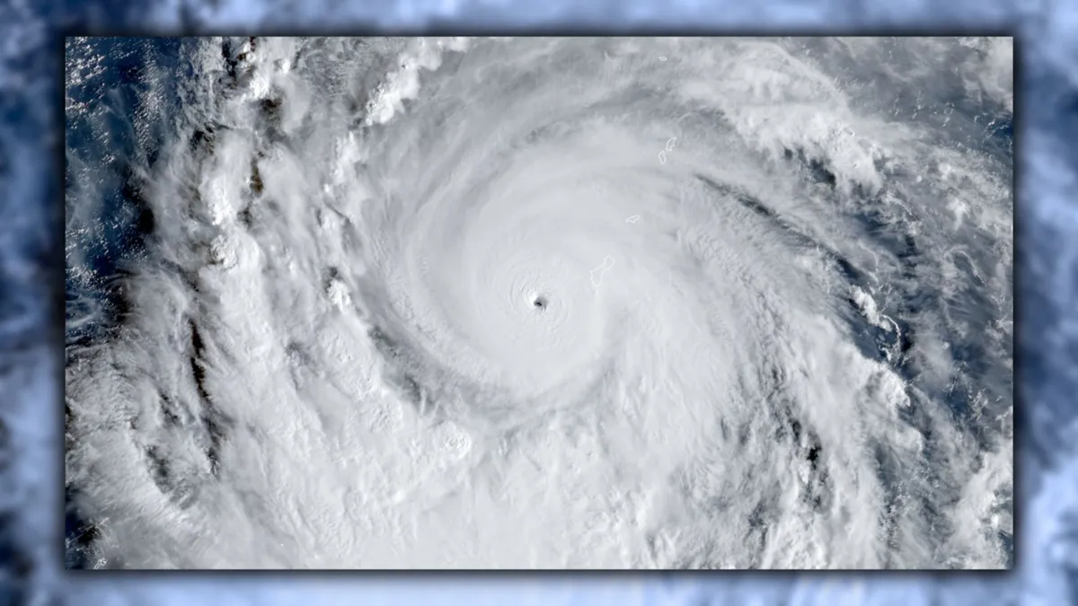
Typhoon Champi has an opportunity to grow into the world’s strongest tropical cyclone of 2026. The system in the western Pacific Ocean is already a powerhouse with 240 km/h winds, the equivalent of a high-end Category 4 storm. Further intensification is expected over the next 24 to 48 hours, and Champi will soon become the world’s seventh Category 5 storm of the year. DON’T MISS: What’s the difference between hurricanes, typhoons, and cyclones? Typhoon Champi rapidly intensified as it approached the tiny Pacific island of Guam this weekend, threatening the U. S. territory with destructive winds and flash flooding. Its maximum sustained winds doubled from 110 km/h to 220 km/h in just 24 hours. The system is in a highly favourable environment for strengthening, and forecasters now expect Champi to achieve the equivalent of a Category 5 storm within the next 24 hours. If the current predictions come to pass, this typhoon would be the world’s seventh Category 5 storm so far in 2026.
Champi slams Guam after rapidly intensifying into violent typhoon, bringing life-threatening conditions
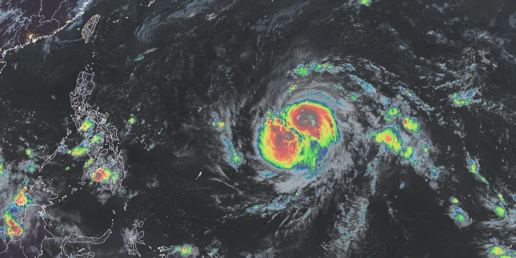
Typhoon Champi passes just 10 miles south of Guam 🌧️ TYPHOON THREAT: Typhoon Champi brings intense storm conditions to Guam, despite no landfall, as it passed 10 miles south of the island, triggering heavy rain and a flash flood threat this weekend. THE TAKEAWAYChampi has rapidly intensified into a violent typhoon with sustained winds of 150 mph. An Extreme Wind Warning is in effect across far southern Guam for catastrophic, life-threatening winds. A parade of intense systems has made the 2026 Eastern Pacific hurricane season the most energetic on record. Champi has rapidly intensified into a violent super typhoon with sustained winds of 150 mph and is bearing down on Guam, barely avoiding a direct hit. The storm is expected to bring intense, damaging wind gusts, torrential rain and flooding during its closest approach on Sunday. LATEST FROM FOX WEATHER HURRICANE SPECIALIST BRYAN NORCROSSViolent Typhoon Champi(FOX Weather) The National Weather Service (NWS) office in Guam has issued an Extreme Wind Warning for far southern Guam for catastrophic, life-threatening winds between 115 and 135 mph. "Venturing outside can result in death from flying projectiles," the NWS office warned.
Hurricane Trudy makes its way toward Mexico as Typhoon Champi threatens Guam
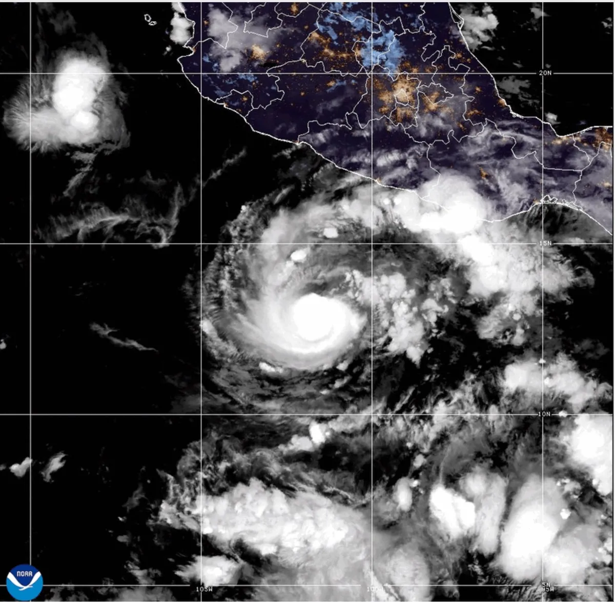
This GOES-19 GeoColor satellite image provided by the National Oceanic and Atmospheric Administration (NOAA) and taken on Thursday, Oct. 15 2026, shows Hurricane Trudy in the Pacific.(NOAA via AP)Hurricane Trudy moved toward southwestern and west-central areas of Mexico's Pacific coast and could keep growing through Saturday, forecasters said. The center of Trudy will approach the coast on Saturday, making its closest pass Sunday. A hurricane warning was in effect from Manzanillo in Colima state to Cabo Corrientes in Jalisco. The storm was a Category 1 hurricane with maximum sustained winds of 90 mph on Saturday morning.(MORE: Nor'easter to bring flooding, winds, rain to parts of East Coast)Trudy was about 250 miles west of Acapulco, in the Mexican state of Guerrero, and under 200 miles south-southeast of Manzanillo, Colima state, while moving northwest at 8 mph, the U. S. National Hurricane Center said. The Mexican navy urged the maritime community and coastal residents to exercise extreme caution due to high waves, heavy rains and the risk of rising river levels, flooding and landslides in vulnerable areas.
Hurricane season maps tracker: Latest forecasts and more
These are the maps to help you track ongoing Pacific and Atlantic tropical systems.
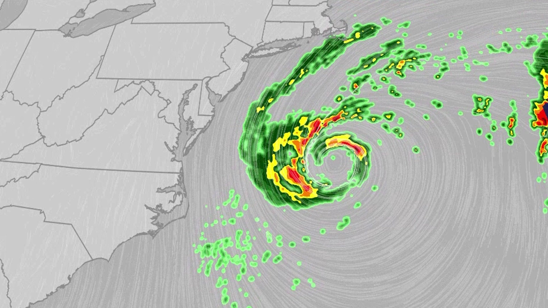
Nor'easter lashes coast from Carolinas to Northeast
The nor'easter, which could be future Josephine, will bring dangerous conditions for multiple days this week.
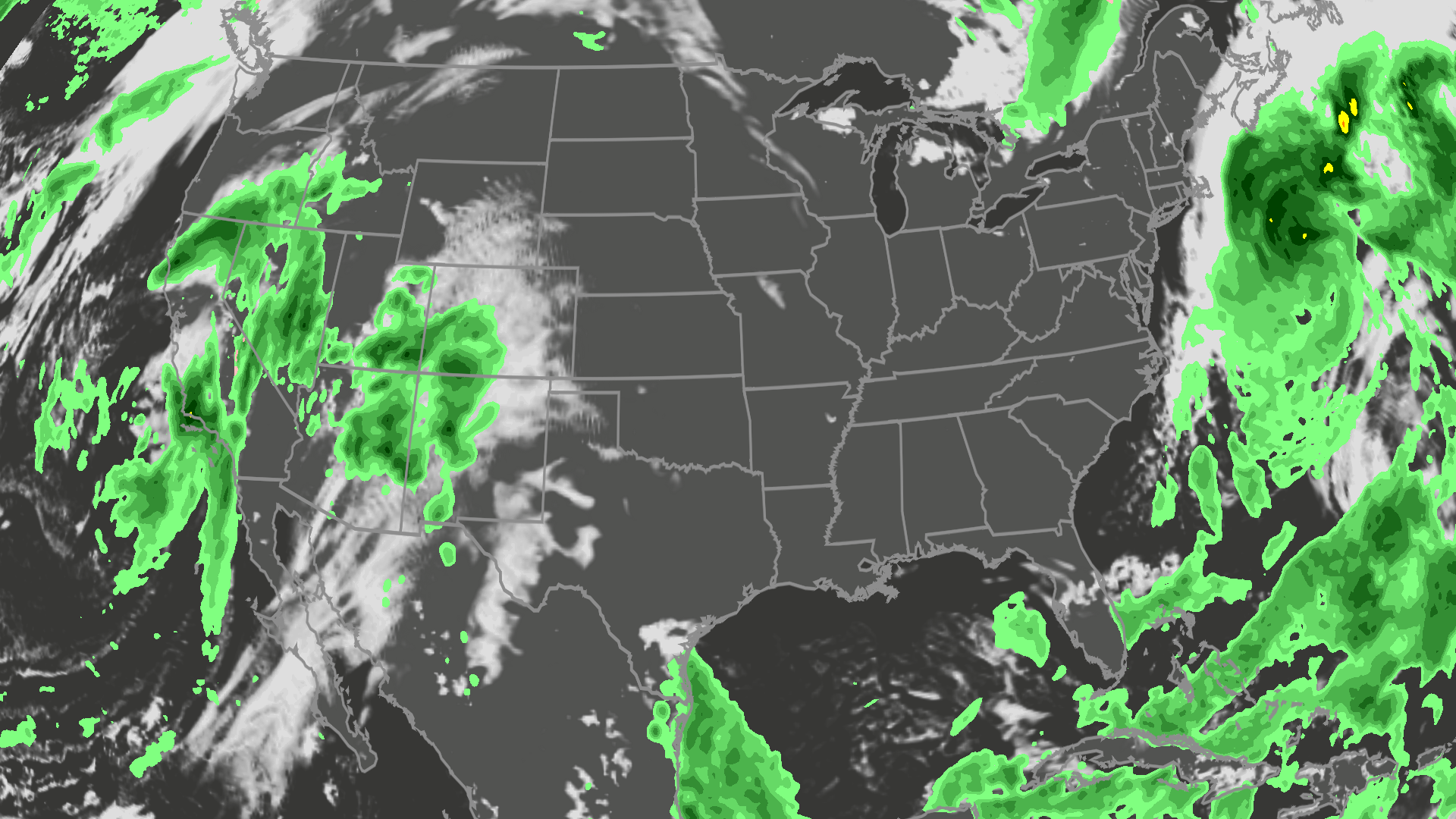
Orionid meteor shower 2026: cloud cover forecast by region
The best night to see the orionids is Wednesday into Thursday, but could the weather get in your way? Here is the forecast.
0 comments
No comments yet. Be the first to share your thoughts!