BBlogFlow

Categories

Weather

4077 articles

Weather

Summer-like heat in late winter roasts Australia’s largest city

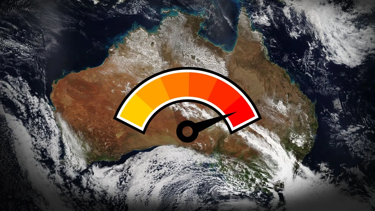
A spell of extraordinary heat spilled over typically temperate parts of Australia this weekend. Temperatures in the Sydney area soared into the 30s on a late-winter day that would be the seasonal equivalent to early March here in the northern hemisphere. The summer-like heat combined with high winds to raise an extreme threat for bushfires throughout the region. DON’T MISS: The rare time this city in Australia saw accumulating snowSummer-like heat roasts Australia’s biggest cityAn ideal setup for summer-like heat covered portions of southeastern Australia to kick off the weekend. A strong pressure gradient developed between a low-pressure system off the coast and a centre of high pressure to the west. Powerful west-northwesterly winds blowing over the region’s Blue Mountains flowed down into the Sydney metropolitan area. Much like a Chinook we’d see on the Prairies, it's likely that this air warmed up as it descended the terrain toward lower elevations. Content continues belowTemperatures in and around Sydney soared into the 30s on Saturday afternoon, with a high temperature of 32°C recorded at both of the city’s major airports alongside wind gusts of 80-90 km/h.
The Weather Network·
Weather

Flood risk rises on the East Coast with soaking rains this weekend

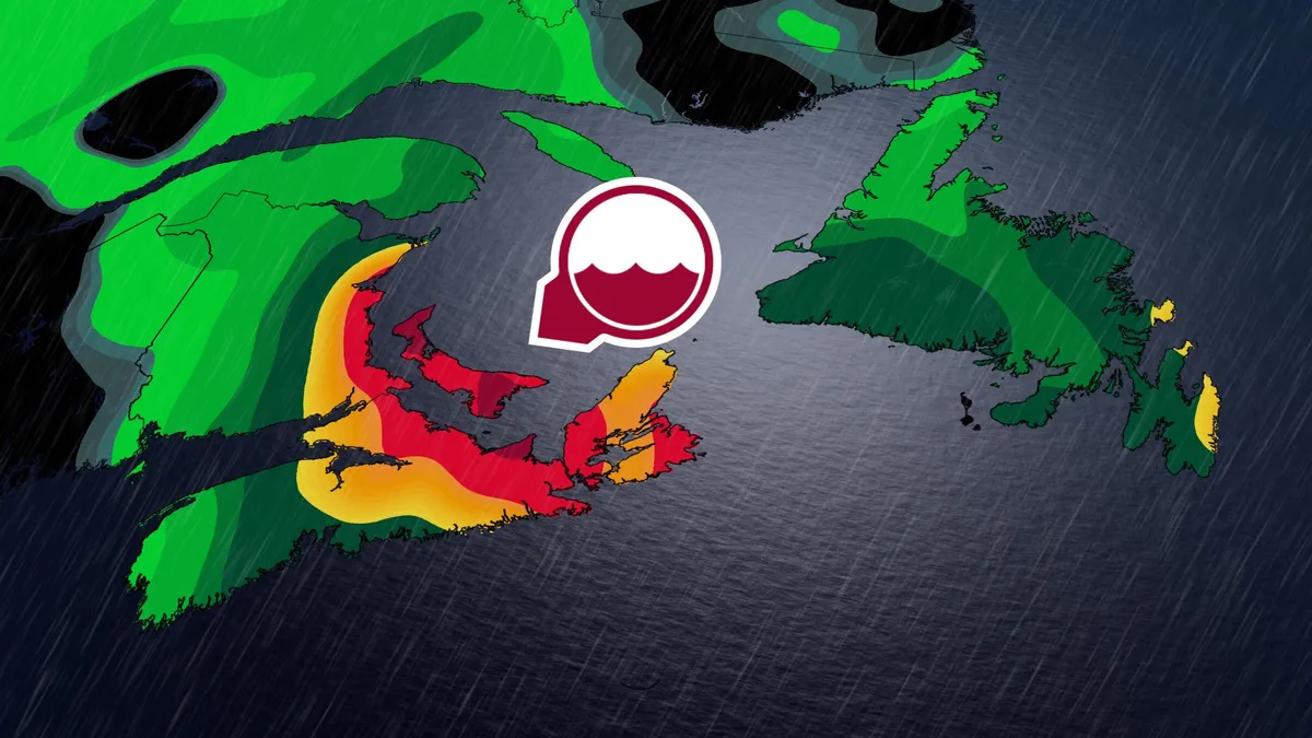
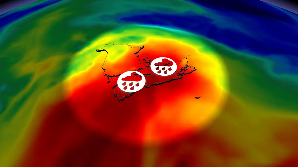
A rough holiday weekend is in store for much of Atlantic Canada as a stagnant pattern brings widespread heavy rainfall to the region. Some areas could see more than 100 mm of rain through Monday, which could lead to flooding and road washouts in the hardest-hit communities. DON’T MISS: Canada’s Labour Day weekend holds heavy rain and sunny skiesWet, windy weekend on tap for the East CoastHeavy rainfall gradually spread back toward the west into Saturday, covering New Brunswick, Prince Edward Island, and Nova Scotia. Expect showers to move back into the Halifax area. Winds will increase Saturday afternoon as the low-pressure system deepens, with 50-80 km/h east-northeasterly gusts possible in exposed, coastal areas. Rain engulfs much of southern and central Newfoundland by late Saturday afternoon. We’ll see the rain taper off from west to east across the Maritimes overnight Saturday into early Sunday. Content continues belowAn axis of steady rainfall sits over central and northern Newfoundland by late Sunday afternoon while scattered showers are possible on the Avalon. Peristent showers will linger on P. E. I., and in north-central Nova Scotia and eastern Cape Breton.

The Weather Network·
Weather

Severe storms threaten millions across Midwest, Ohio Valley, Mid-Atlantic as 500K+ still without power

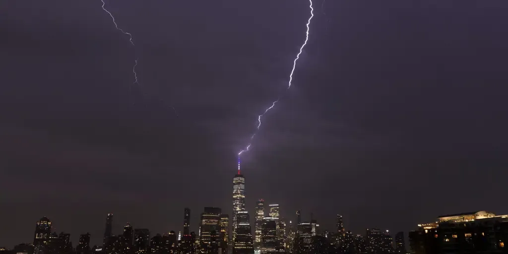
Severe storms threaten over 50M across Midwest, Ohio Valley, Mid-Atlantic Severe weather is forecast to reignite Thursday over more than 50 million people across parts of the Great Lakes, Ohio Valley and Mid-Atlantic, part of a multiday threat that will last into the holiday weekend. The Milwaukee, Chicago, Cleveland, Pittsburgh, Baltimore and Washington, D. C. metro areas are all under a Level 2 out of 5 risk of severe thunderstorms Thursday, according to NOAA's Storm Prediction Center (SPC). THE TAKEAWAYAn active weather pattern continues in the Northeast and Mid-Atlantic, packing rounds of nasty storms each day this week. Over 500,000 homes are without power as severe storms move through. Severe storms are expected to continue through Saturday. Severe weather is ongoing for millions of people across parts of the Great Lakes, Ohio Valley and Mid-Atlantic, amid a multiday threat that will last into the holiday weekend. The Milwaukee, Chicago, Detroit, Cleveland, Baltimore and Washington, D. C. metro areas were all under a Level 2 out of 5 risk of severe thunderstorms Thursday, according to NOAA's Storm Prediction Center (SPC).

Fox Weather·
Weather

Tennessee students treated for heat illness after bomb threat forces school evacuation

A threatening message discovered on a bathroom wall prompted the evacuation of Carter Middle School in Strawberry Plains, Tennessee, amid scorching summer heat and humidity. THE TAKEAWAYA bomb threat prompted an evacuation at a school Friday morning in Strawberry Plains, Tennessee.21 students had to be treated for heat-related illnesses. The heat index in Knox County was 96 degrees. STRAWBERRY PLAINS, Tenn. – A reported bomb threat at a Tennessee middle school prompted a schoolwide evacuation Friday, forcing students to wait outside in scorching summer heat. Twenty-one students experienced heat-related illnesses and were transported for treatment, including three who were considered critical at the time, officials said. A threatening message discovered on a bathroom wall at Carter Middle School in Strawberry Plains prompted the evacuation of the school’s students and staff to its football field at approximately 10:25 a.m., according to the Knox County Sheriff’s Office. The heat index in Knox County reached 96 degrees around 11:20 a.m., intensifying the conditions during the evacuation.

Fox Weather·
Weather

200+ mm of rain possible as Hurricane Lowell grazes Hawaii

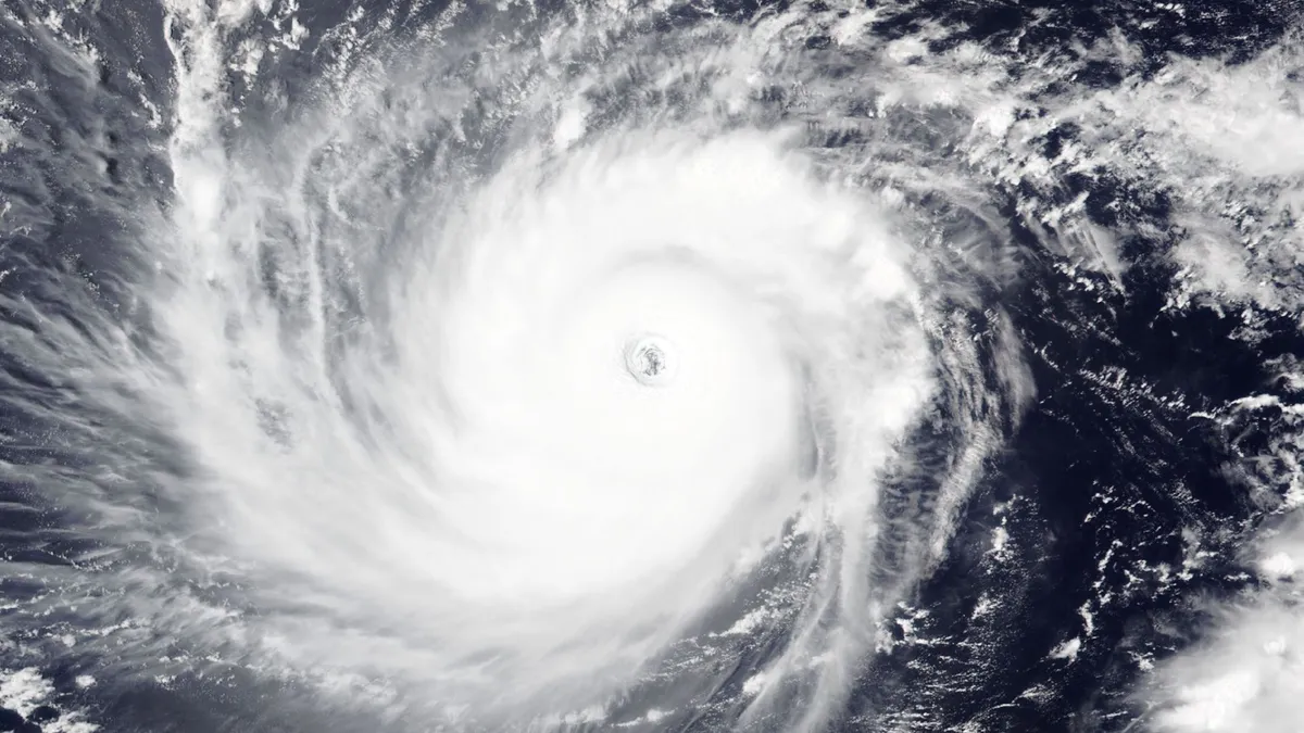
Hurricane Lowell briefly achieved Category 5 status again on Saturday as it took advantage of favourable conditions about 1,000 km southwest of Hawaii. The storm is in the process of a northerly turn that’ll bring it close to the Hawaiian Islands in time for the Labour Day holiday. Visitors should prepare for heavy rainfall, gusty winds, and possible coastal flooding. DON’T MISS: Atlantic’s hurricane-less season on the verge of historyLowell is a powerhouse of a hurricane that’s churned across the Pacific for the past ten days. The storm has now peaked at scale-topping Category 5 intensity twice, first on Wednesday morning and then again on Saturday morning. The upper-level setup across the central Pacific will draw Lowell in the general direction of the Hawaiian Islands over the next several days. While the core of the storm will likely miss Hawaii’s eight major islands, the storm’s outer edges will still bring foul weather to the region. Content continues belowForecasters with the U. S. National Hurricane Center (NHC) expect Lowell’s centre to remain safely west of the populated islands as it makes its closest approach Monday and Tuesday.

The Weather Network·
Weather

How a powerful El Niño will affect people around the world

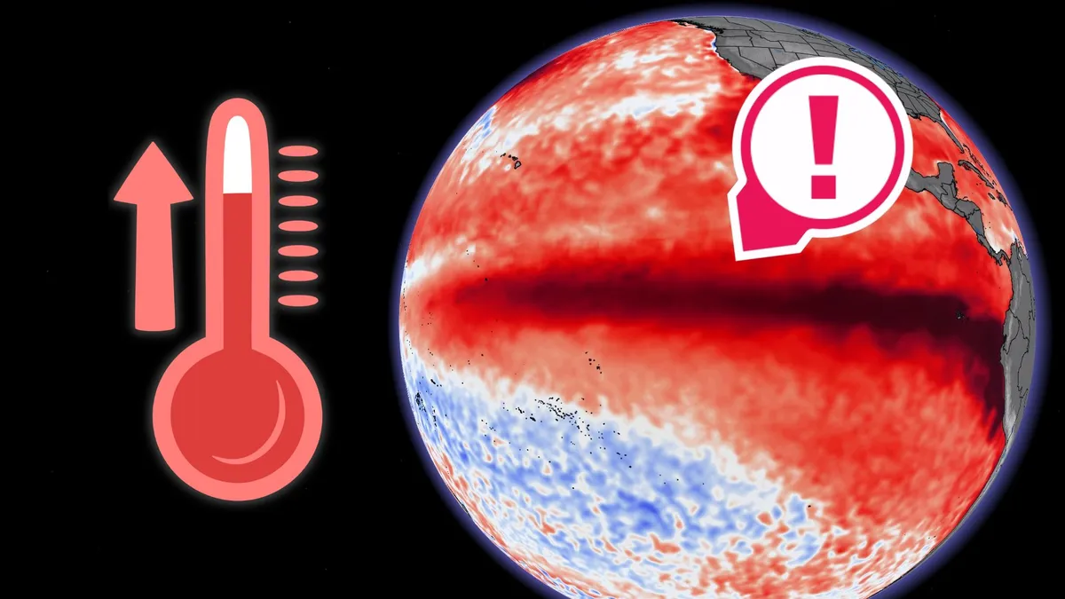
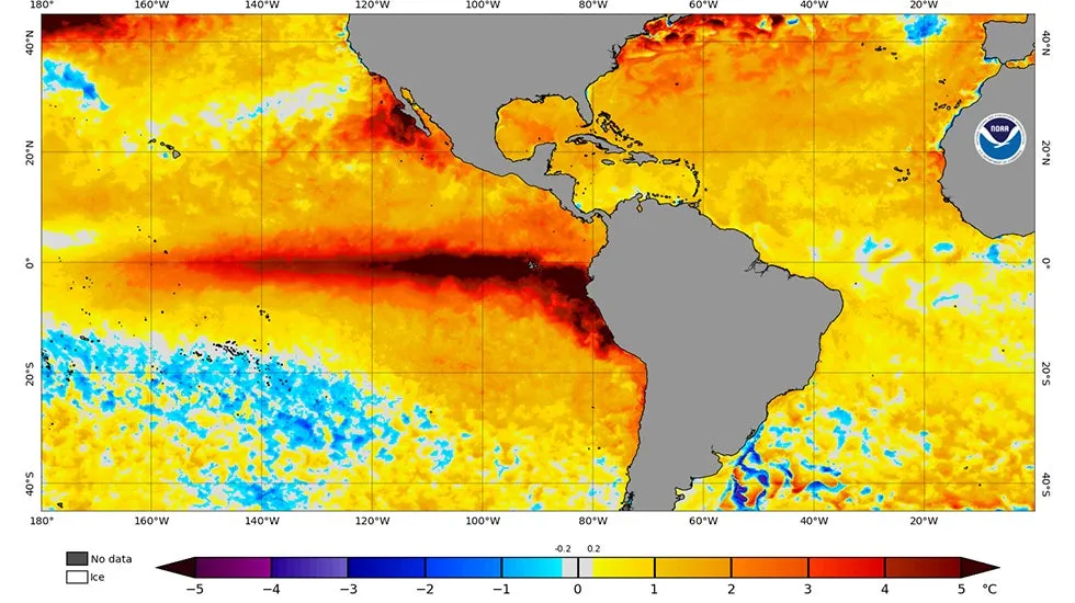
A strengthening El Niño in the Pacific Ocean will have global ramifications beyond a sleepy hurricane season in the neighbouring Atlantic. These warmer-than-normal sea surface temperatures have a far-reaching influence that can touch every aspect of life around the world, ranging from a single person fishing for food to the most complex international trade. "We are already seeing disruption and devastation from droughts and floods and extreme weather," the World Meteorological Organization (WMO) said in a press release on Thursday. The agency added: "We expect these impacts to multiply - and cascade - as El Niño intensifies. "DON'T MISS: The Super El Niño that contributed to tens of millions of deathsWater temperatures around the equatorial Pacific Ocean are a significant driver of weather patterns around the world. Here in North America, the warmer waters of an El Niño event influence the orientation and strength of the jet stream, dictating the broad strokes of our patterns during the cooler months. Content continues belowWintertime temperatures during a strong El Niño tend to run above seasonal across a vast swath of Canada as the jet stream arches northward.

The Weather Network·
Weather

Labor Day Weekend outlook: Rain, storms threaten to wreak havoc on outdoor plans for millions of Americans

Labor Day weekend is here, marking the unofficial end of summer, but the weather could put a damper on holiday plans as rain and thunderstorms are expected across parts of the U. S. DANGEROUS FLASH FLOODING, THUNDERSTORMS TARGET SOUTHEAST AS MULTIDAY THREAT CONTINUES THROUGH WEEKENDHere’s a look at what residents across the U. S. can expect this holiday weekend:SaturdayThe weekend is starting with an active weather across the Southeast, Four Corners and Southwest. An overview for Saturday's forecast.(FOX Weather) According to the FOX Forecast Center, tropical downpours will continue across much of Florida as easterly winds settle in, keeping Atlantic moisture stalled over the region. Afternoon thunderstorms could disrupt beach or BBQ plans. Severe Storms will also be possible across the Carolinas including cities like Raleigh and Charlotte. LEVEL 3/4 FLOOD THREAT ISSUED FOR GRAND CANYON NATIONAL PARK AFTER FLASH FLOODING LEAVES AT LEAST 2 DEADOn the opposite side of the country, Hurricane Marie will continue to track near the Southwest. Forecasters say a surge of tropical moisture will increase the coverage of monsoon thunderstorms.

Fox Weather·
Weather

Bryan Norcross: Hurricane Lowell to slowly turn toward the western Hawaiian Islands this weekend

Updated at 9:30 a.m. on Saturday, Sept. 5, 2026. Hurricane Lowell is a strong Category 4 as it drifts into a hard right bank and a path in the general direction of the western end of the main Hawaiian Island chain. The steering mechanism is changing from high pressure that has been driving Lowell to the west to a sharp dip in the jet stream that is going to yank it north. During that handoff, steering currents will be very light. Whenever a storm slows down, the uncertainty in its future track increases because there is no strong river of air driving it forward. As a result, there is high confidence that Lowell is going to turn north, but there is also intrinsic uncertainty on its exact path. A look at Hurricane Lowell on radar satellite (NOAA / NOAA)The consensus of the computer forecast models and the official National Hurricane Center forecast cone is that the core of the hurricane with the most damaging winds is most likely to pass by the main Hawaiian Islands, so the westernmost islands only get a glancing blow. That's not 100% due to the uncertainty introduced by the slow-motion turn. A more direct hit on Kauai or Niihau still can't be completely ruled out.

Fox Weather·
Weather

Tropical moisture fuels heavy weekend rain on the Prairies

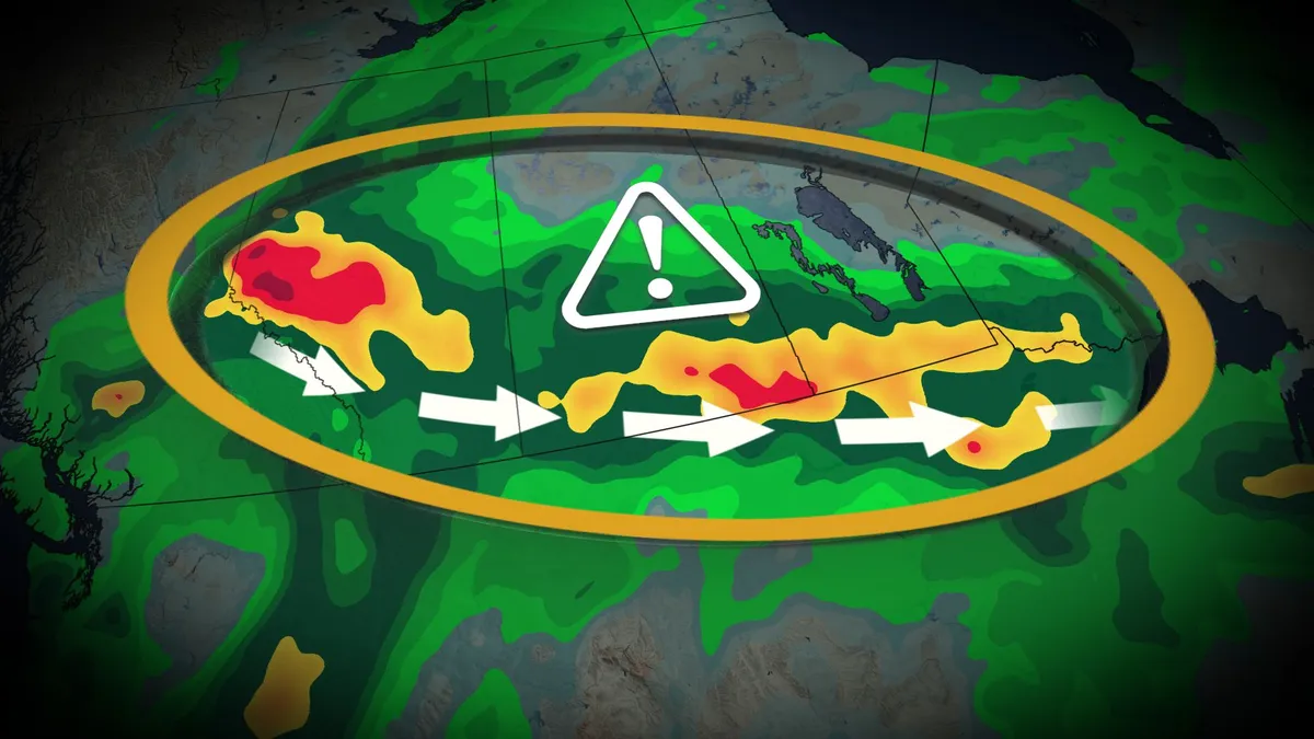
Expect widespread rain across the Prairies through your holiday weekend as a stagnant, moisture-rich pattern swings across the region. Rainfall totals of 50+ mm will affect a large swath of the region by Monday, with areas that see thunderstorm activity possibly reaching 100 mm of accumulation. DON’T MISS: Canada’s Labour Day weekend holds heavy rain and sunny skiesSeveral systems moving across the Prairies will tap into a rich reserve of moisture aloft streaming in from both the Gulf of Mexico and the Pacific Ocean, the latter of which arrives courtesy of Hurricane Marie. Rain and thunderstorms are expected in southeastern Saskatchewan and southern Manitoba through Sunday as a slow-moving low tracks along the international border. Meanwhile, another strong low-pressure system will develop along the foothills and lift north across the Prairies throughout the weekend. Significant rainfall is likely, spreading from Alberta across the southern Prairies. We could see totals of 30-50 mm in Calgary and Edmonton, with a swath of 50+ mm expected through southern portions of Saskatchewan and Manitoba.

The Weather Network·
Weather

UN warns of 'supersized' El Niño in unprecedented forecast

This year's El Niño is becoming "supersized" and is expected to be stronger than any other on record, the United Nations warned Thursday. The climate pattern, which can bring extreme heat, floods, drought and disruptive weather worldwide, is expected to become “very strong” and peak around the end of the year, according to new forecasts from the U. N.'s World Meteorological Organization (WMO). The likelihood that El Niño will persist through February 2027 is now close to 100%. The WMO has never issued such an unequivocal forecast for El Niño.(MORE: What past Septembers looked like during a strengthening El Niño)“El Niño is being supersized before our eyes,” UN Secretary-General António Guterres said in a news release. “The science leaves no room for doubt: The planet is in uncharted waters, and those waters are heating up.”El Niño is a warming of water in the central and eastern Pacific Ocean near the equator that typically happens every three to four years. Get More of Our News on GoogleSet The Weather Company as a 'Preferred Source' to get quicker access to the news you value. Sea surface temperatures are already well above average and are continuing to rise.

The Weather Channel·
Weather

Detroit hit by first tornado since 1997; power outages top 250,000

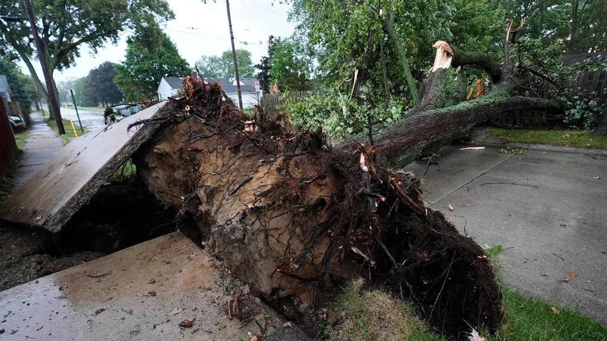
Tornado hits metro Detroit, leaving thousands without powerA confirmed tornado ripped through the Detroit metro area Thursday evening, as severe storms slammed Michigan and left more than 250,000 homes and businesses without power by Friday morning. Survey teams from the National Weather Service concluded that the damage was from a tornado, Detroit's first since 1997. Hundreds of trees were toppled across dozens of neighborhoods. The tornado-warned storms slashed across multiple counties, including Macomb, Oakland, Livingston and Washtenaw. Residents shared photos and videos on social media of massive trees that crashed onto homes and cars. No major injuries were reported. The east side of Detroit took the brunt of the storms. Mayor Mary Sheffield toured the city Thursday evening, saying there was significant damage to homes and businesses. The Detroit News reported that the storms interrupted the first day of the Michigan State Fair in Novi. People ran to their cars as rain hit the fairgrounds, and fair officials ordered people to take shelter inside an expo hall.

The Weather Channel·
Weather

Heavy rain continues for the East Coast’s long weekend

A rough holiday weekend is in store for much of Atlantic Canada as a stagnant pattern brings widespread heavy rainfall to the region. Some areas could see more than 100 mm of rain through Monday, which could lead to flooding and road washouts in the hardest-hit communities. DON’T MISS: Canada’s Labour Day weekend holds heavy rain and sunny skiesHeavy rainfall that moved east on Friday will gradually spread back toward the west into Saturday, covering New Brunswick, Prince Edward Island, and Nova Scotia. Expect showers to move back into the Halifax area. Winds will increase Saturday afternoon as the low-pressure system deepens, with 50-80 km/h gusts possible in exposed coastal areas. Eastern Newfoundland, including the Avalon, Bonavista, and Burin Peninsulas, will remain rain-free until rain bands lift into the region on Saturday afternoon. We’ll see the rain taper off from west to east across the Maritimes overnight Saturday into early Sunday. Rain, heavy at times, will persist into Sunday for southern Newfoundland and the Avalon Peninsula, gradually tapering off through Monday. Content continues belowBy the end of the rainfall, gauges could pick up 75-100 mm of rain across P. E. I

The Weather Network·
Weather

How extreme heat is draining your gas tank — and how to stop it

Extreme heat is costing you at the gas pump; how to saveThe only thing that might make you more miserable than sweltering in high temperatures is paying high prices at the gas pump, and right now, millions of drivers are dealing with both. The national average for a gallon of gas remains above $4, according to AAA, while large swaths of the country will be scorching under triple-digit temperatures for the Labor Day holiday. That kind of heat isn't just uncomfortable — it's also draining your tank. Fortunately, there are some simple ways you can fight the heat and save some money on your next fill-up.(MORE: It's a summer heat wave, but your body thinks it's fall)STOCK PHOTO - A person turns up the fan speed in a car by pressing the airflow control button.(Getty Images)Your AC is the main culpritUsing the air conditioning in an average vehicle can reduce its fuel economy by more than 25%, especially on short trips, according to the Department of Energy. Roll down windows at low speeds: Stick to open windows when driving on local roads. Save the AC for highway driving, where open windows create aerodynamic drag that wastes more fuel than the air conditioner itself.

The Weather Channel·
Weather

Raindrops carry electric charge that eats metal

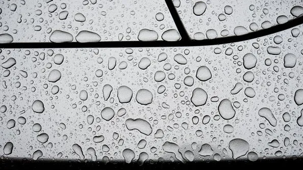
Raindrops sit on a grey sports car in Bamberg, Germany.(David Ebener/picture alliance via Getty Images)Scientists have recently discovered a new source of corrosion that we didn't know about, and it comes from thunderstorms and friction. Researchers from the Max Planck Institute for Polymer Research in Germany found that water carrying an electrical charge can puncture the protective coating on copper and gold in a laboratory. The electricity comes from expected places like a thunderstorm, but static electricity created by friction plays a role, too. They found that water droplets that rolled down a surface as simple as a leaf or as complex as quartz gained a charge that damaged coated metals. This damage did not occur when water droplets were neutralized. It is well known that acids or pollutants cause corrosion, but this new study suggests clean water with just a charge can do the same damage. We should be clear that this was a study carried out in a laboratory, and we don't know yet how much this process occurs in the real world. Get More of Our News on GoogleSet The Weather Company as a 'Preferred Source' to get quicker access to the news you value.

The Weather Channel·
Weather

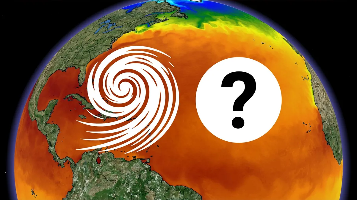
Atlantic’s hurricane-less season on the verge of history

What do you call a hurricane season without any hurricanes? This season certainly feels like it’s putting that hypothetical to the test as we haven’t seen any hurricanes across the Atlantic basin at all this year. If none form anywhere in the Atlantic by next Friday, Sept. 11, it’ll make history for the latest on record we’ve gone without a hurricane during the satellite era. DON’T MISS: Destructive Atlantic hurricanes can still happen during El NiñoA historically quiet Atlantic hurricane seasonWe’ve seen five named storms in the Atlantic this year; each one was a relatively weak and short-lived storm that only stuck around for a couple of days at most. Three of those storms struck land. Arthur, Bertha, and Edouard formed in the northern Gulf of Mexico and brought heavy rain and gusty winds to the region. A few of the systems were prolific rainmakers despite their lack of a punch. Arthur likely broke Louisiana’s 24-hour rainfall record, while Edouard brought more than 600 mm of rain to parts of eastern Texas.

The Weather Network·
Weather

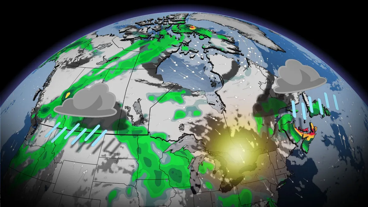
Canada’s Labour Day weekend holds heavy rain and sunny skies

Prepare for an atmospheric split-screen to develop across Canada for our long Labour Day weekend. Some areas will enjoy pristine late-summer weather while others are doused by a steady stream of heavy rain fuelled by moisture straight from the tropics. Which side will you land on during this symbolic end to the summer season? DON’T MISS: Summer lingers as warmth wins out across Canada in SeptemberGorgeous weather for Ontario and QuebecWe’ll start with the good news in the forecast for folks across much of Ontario and Quebec, where the country’s nicest weather is in the cards this weekend. Dry conditions with near-seasonal temperatures will endure throughout the long weekend as daytime readings climb into the 20s beneath mostly sunny skies. Folks across British Columbia’s South Coast are also in line for mostly clear conditions over the next couple of days, which is great news for anyone with outdoor plans. Watch for some unsettled weather in the Interior. Content continues belowHeavy rain coats the Prairies and East CoastA low-pressure system moseying across the centre of the country will bring plenty of heavy rainfall to the Prairies through the long weekend.

The Weather Network·
Weather

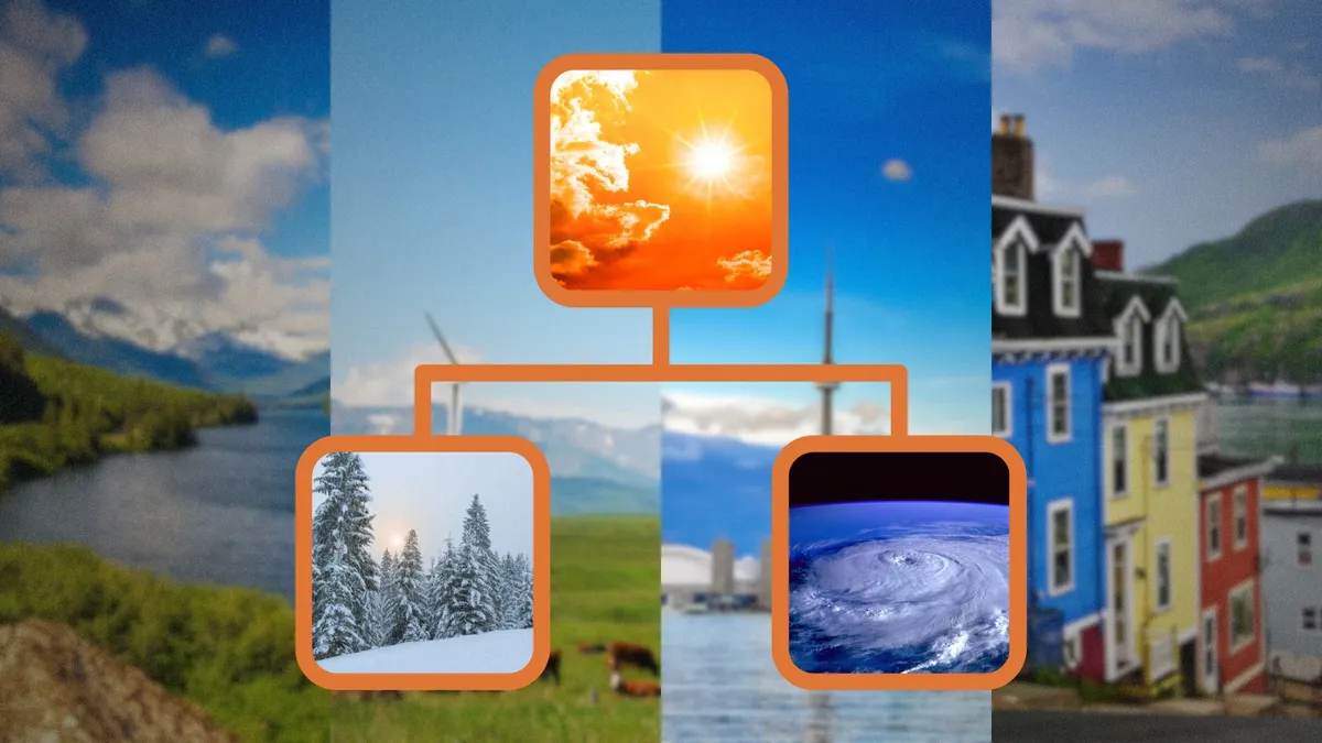
A typical September sends Canada heat, hurricanes, and snow

The worst of summer is behind us as we head into the month of September. Autumn’s arrival is a bumpy time of year across Canada, with stubborn warmth fending off frequent pulses of chilly air swooping in from the north. From continued bouts of extreme heat to hints of frost and even some snow, here’s what you might expect across Canada during a typical September. DON’T MISS: What does a classic fall storm look like in your part of Canada? Cool-weather lovers spend all summer looking forward to this time of year. Meteorological fall arrives on Sept. 1, while the official autumnal equinox occurs on Tuesday, Sept. 22. Dwindling sunshine and changing seasons will quickly begin to shift our weather patterns across Canada over the next month, most noticeably when it comes to temperature trends. Temperatures quickly fall through SeptemberExtreme heat is still possible across Canada during a normal month. Content continues belowMUST SEE: When is the hottest stretch of the year in your corner of Canada? The country’s all-time hottest September temperature record is a 40.0°C reading that most recently occurred in Lost River, Sask., back in 1940. Toronto made it up to 36.7°C on Sept.

The Weather Network·
Weather

Ask a met: Safest place to live in the US, weather-wise?

“Where’s the safest place to live in the U. S., weather-wise?” – CourtneyThere have been several lists put together in recent years to shed light on which areas are more disaster prone and at risk in a future of climate change. In early 2025, the data analytics firm Cotality found Detroit the safest metro area from weather and climate disasters. Their most likely weather hazard was severe thunderstorms, if you can tolerate winter weather. The U. S. climate vulnerability index found areas along the West Coast, northern Great Lakes, upstate New York and northern New England least vulnerable to climate impacts, though that didn’t appear to take into account earthquake risk. But even these safer areas may be changing. Wildfires this summer destroyed over 300 homes near Spokane, Washington, ranked tenth safest in Cotality’s safe metro area list. Get More of Our News on GoogleSet The Weather Company as a 'Preferred Source' to get quicker access to the news you value. And hazardous wildfire smoke has become a more frequent problem in recent summers from the Pacific Northwest to the Great Lakes and Northeast.

The Weather Channel·