BBlogFlow

Categories

Weather

2455 articles

Weather

3 generations among 6 killed in Wisconsin plane crash in thunderstorm

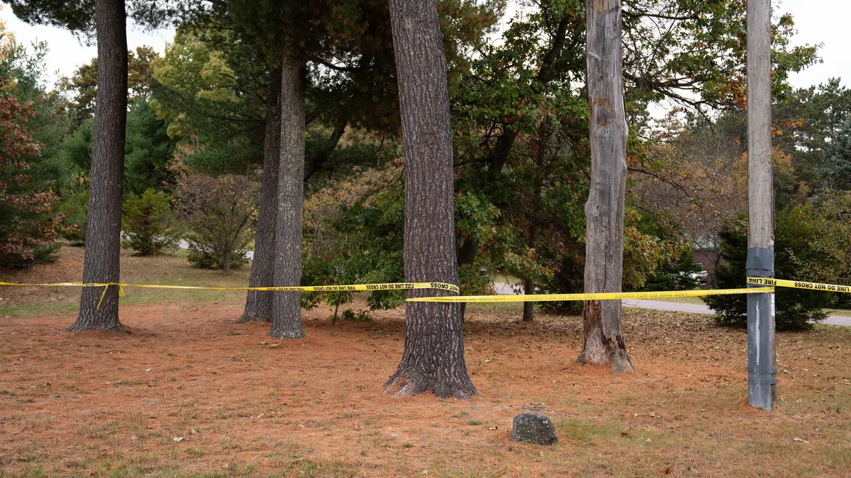
Police tape blocks off the area near a fatal plane crash Oct. 14, 2026 in Sauk County, Wisconsin.(USA TODAY Network)A grandmother, two adult daughters and her grandson were among the six people killed when a small plane crashed in Wisconsin after flying in a thunderstorm, family members said Thursday. Mary Brion, 67, along with her daughters Kayla Turpin, 39, and Amanda Haremza, 45; and grandson Rylan Haremza, 13, were heading home Tuesday night after surprising her granddaughters at their high school volleyball game. “My daughters grew up playing (volleyball), and my wife just loved to go watch the grandchildren,” said Brion's husband, David Brion. “It wasn’t right what happened.”David Brion said he and his wife used to go to every match that his daughters competed in. Since their granddaughters lived five hours away by car in Salem, they couldn't watch them play very often. They had the opportunity to go this time by plane through one of their son-in-law's pilot friends, Brion said. “We never had much money, she just wanted to find her joy,” said Brion, of Nelson, Wisconsin. “This trip they were really excited about.
The Weather Channel·
Weather

Devastating Hurricane Hazel ravaged Haiti, North Carolina and the GTA

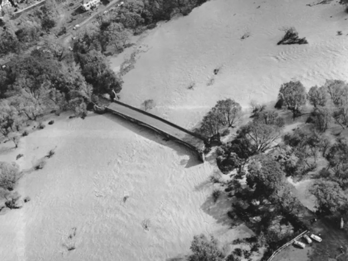
This Day In Weather History is a daily podcast by Chris Mei from The Weather Network, featuring stories about people, communities and events and how weather impacted them.--Hazel was the deadliest storm of the 1954 Atlantic hurricane season. It was also Toronto's worst natural disaster and Canada's most destructive hurricane. Hurricane Hazel developed on Oct. 5, 1954, approximately 350 km east of Grenada. On Oct. 12, Hazel made landfall on Haiti as a Category 3 hurricane. The hurricane hit the Caribbean country again the next day. The same day, Hazel hit Inagua in the Bahamas with winds as high as 160 km/h. Hurricane Hazel. Courtesy of Environment CanadaContent continues belowOn Oct. 15, the hurricane made landfall near the North Carolina/South Carolina border. Hazel moved across the areas with 215 km/h winds as a Category 4 storm. On Oct. 16, Hurricane Hazel reached Toronto, Ont. The next day, the remnants of the storm moved over James Bay. The next day, the remainder of Hazel was absorbed by a larger storm over Canada.

The Weather Network·
Weather

A super typhoon may determine Canada’s late-October pattern

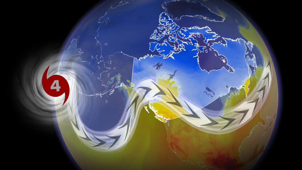
Canada’s forecast this Halloween may come down to a growing typhoon half a world away. Champi is expected to grow into a super typhoon by next week as it passes through the western Pacific basin. One scenario holds the potential that the typhoon will recurve and influence the pattern over Canada, potentially sending chilly air swooping south toward some areas. DON’T MISS: Winter has a few tricks up its sleeve for Eastern Canada this yearA budding tropical storm about 1,200 km east of Guam will grow into Typhoon Champi heading into this weekend. Forecasters expect the system to bring dangerous winds and rain to Guam and the Northern Mariana Islands this weekend as it moves west and quickly intensifies. The system should reach the equivalent of a major hurricane by Saturday or Sunday, and it may achieve super typhoon status with winds of 240+ km/h by early next week. Content continues belowRecurving typhoons can have a significant impact on downstream weather patterns over Canada.

The Weather Network·
Weather

70 degrees on Christmas Eve? How Super El Niños of yore impacted Yuletide

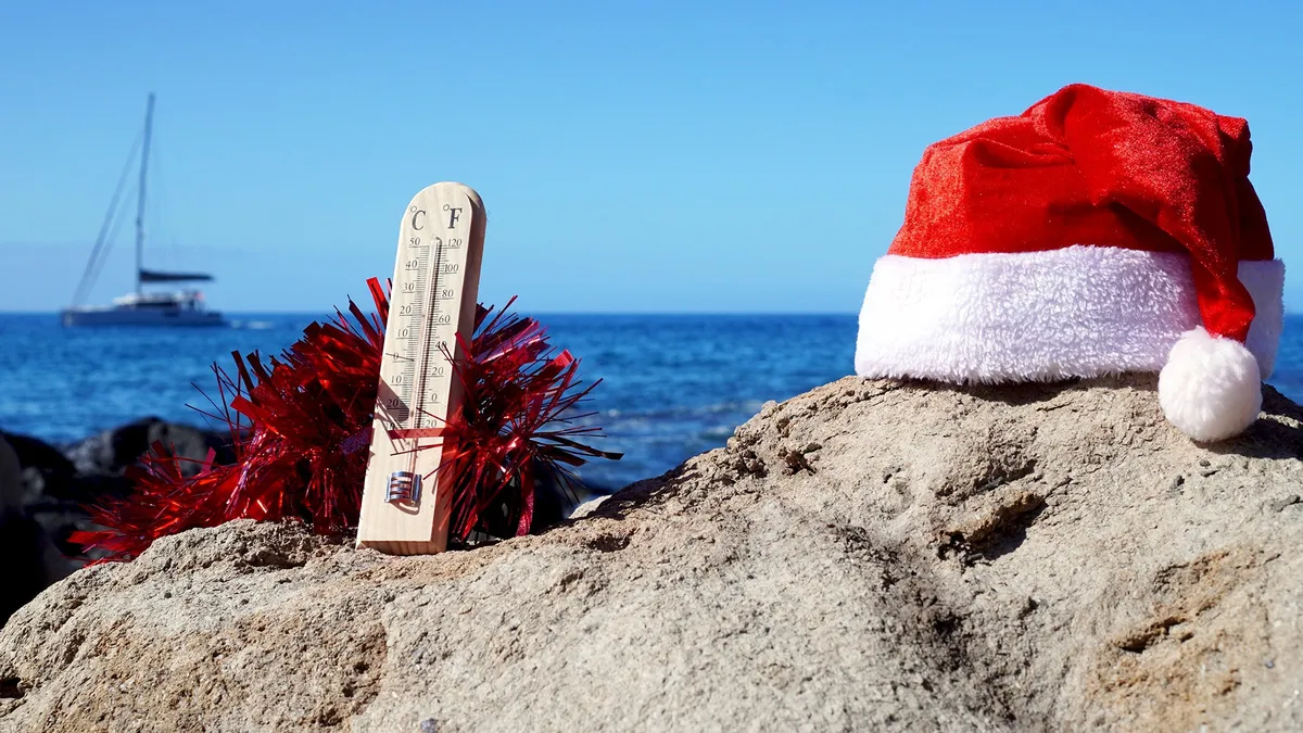
El Niño winter forecast: why warmer doesn't mean less snow or iceIf you're already dreaming of a white Christmas, look away. The National Oceanic and Atmospheric Administration (NOAA) released its winter outlook on Thursday, and it's calling for warmer-than-average temperatures December through February throughout most of the United States. And it's all thanks to the Super El Niño.(MORE: Your Complete Guide To Everything El Niño)The 2026-27 U. S. Winter Outlook map for temperature shows the greatest chances for warmer-than-average conditions in the Pacific Northwest, northern Rockies, Midwest, Mississippi Valley, much of the East and Alaska.(NOAA)NOAA’s October update gives this El Niño an 83% chance of being the strongest since records began in 1950, up from 75% a month ago. Here's how recent Super El Niños have affected Christmas weather in the U. S.2015, the last Super El NiñoThis will be the first Super El Niño since 2015. For the millions of people living in the biggest city in the U. S., that might conjure up one standout weather memory: 72 degrees on Christmas Eve at Central Park.

The Weather Channel·
Weather

Lake Mead's chilling barrel discovery gets new answers as officials identify homicide victim

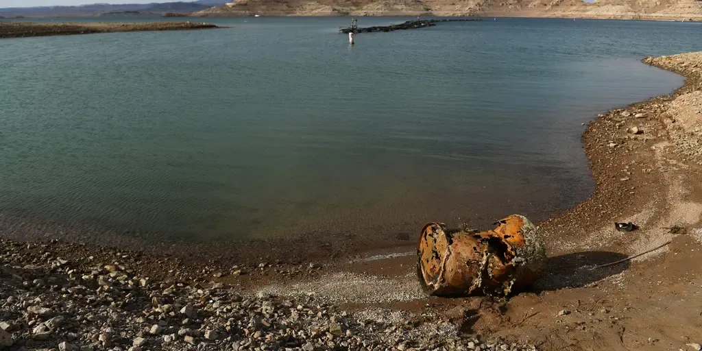
THE TAKEAWAYA suspected homicide victim's identity was announced on Thursday. His body was found stuffed inside a barrel in 2022. The remains belong to Edward Jackson, who died from a gunshot wound. After four years, Las Vegas authorities have identified the remains of a suspected homicide victim discovered in Lake Mead in 2022. THESE EVERYDAY COMMODITIES MAY COST YOU MORE AS SEVERE DROUGHT TRICKLES DOWN TO CONSUMERSClark County Coroner Melanie Rouse announced Thursday that the remains belong to Edward Jackson, who died from a gunshot wound. He is believed to have been in his mid-to-late 50s at the time of his death. A rusted metal barrel, near the location of where a different barrel was found containing  a human body, sits exposed on shore during low water levels due to the western drought at the Lake Mead Marina on the Colorado River in Boulder City, Nevada on May 5, 2022. A worsening drought has revealed a four-decade-old body dumped in Lake Mead, police said May 2, 2022, warning that falling water levels would lead to the uncovering of more corpses. Boaters on Lake Mead near Las Vegas discovered a corroded barrel with its sinister contents during a weekend pleasure trip.

Fox Weather·
Weather

Stormy start to the weekend: More rain and wind hit East Coast

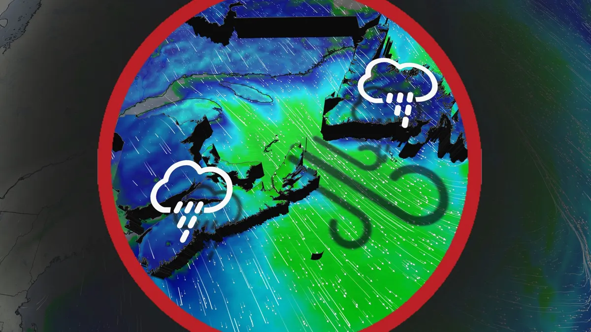
Clashing Arctic and Gulf air masses drive persistent rain and stormy weather across Atlantic Canada through the week's end. A stalled high pressure system over the southeastern U. S. is funnelling moisture northward, while a cold high pressure system near Hudson Bay is steering an active storm track from the Prairies toward the region. DON'T MISS: Canada's Winter Sneak Peek: El Niño puts record warmth in playRainfall amounts of 20-40 mm are expected across the Maritimes and Newfoundland by Sunday, with higher localized totals likely along southern Nova Scotia and Newfoundland’s coast. Thursday: Lingering rain showers and gusty northwesterly windsRainfall will taper across Newfoundland from west to east in the afternoon. However, wraparound rain showers will persist through the day, reaching the Avalon region by evening and clearing overnight. P. E. I and Cape Breton will also see morning showers, clearing by the afternoon. Gusty northwesterly winds will develop over Newfoundland and along parts of the Maritimes' eastern shores.

The Weather Network·
Weather

Six killed in Wisconsin plane crash after pilot reports ice buildup on wings

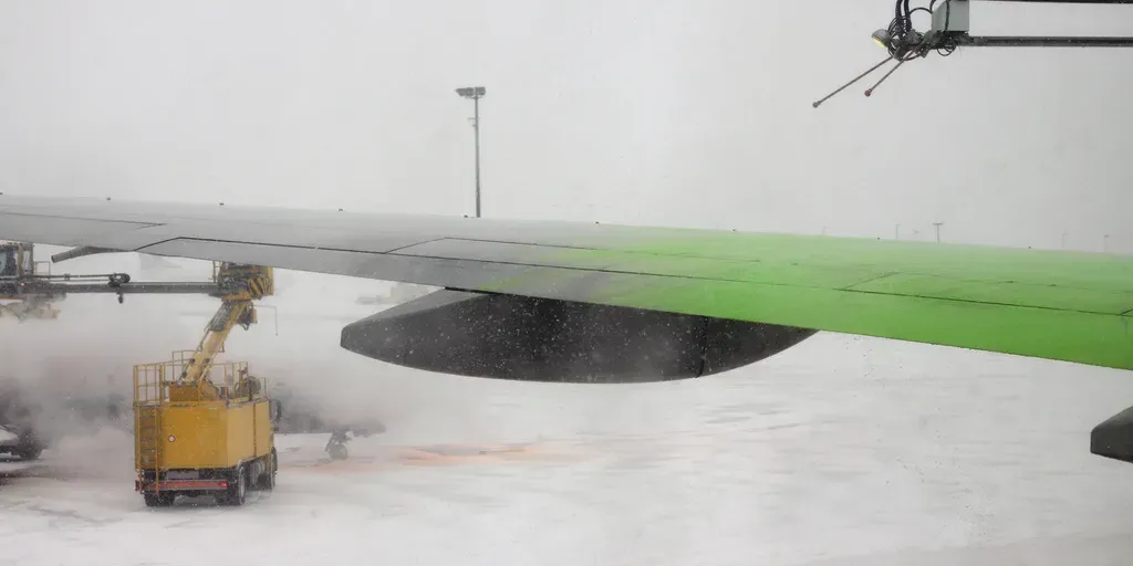
Scattered showers and isolated thunderstorms were reported across southern Wisconsin on Tuesday evening. THE TAKEAWAYSix people, including a 13-year-old child, were killed in a Wisconsin plane crash. The pilot reported ice buildup on the wings before the aircraft rapidly descended and crashed near Dellona. The official cause of the crash remains under investigation. DELLONA, Wisconsin – A small plane carrying five adults and one child crashed Tuesday night in Wisconsin shortly after the pilot reported ice buildup on the aircraft’s wings. FOX News Digital reported that the aircraft began descending at a rate of up to 4,000 feet per minute while returning from Kenosha to Menomonie after the pilot reported ice buildup on the wings. AMELIA EARHART MYSTERY COULD BE A STEP CLOSER TO BEING SOLVED AS RESEARCHERS INVESTIGATE POSSIBLE PLANE WRECKThe NTSB said the pilot alerted air traffic control to the icing and requested a lower altitude before radio communications and flight-tracking data were lost. FILE PHOTO: Piper PA-46-310P Malibu on final-approach.

Fox Weather·
Weather

Severe storms threaten Northeast this weekend — where will the heaviest rain fall?

Powerful storm to blast Northeast with severe weather, usher in season’s coldest temperatures A powerful fall storm will race through the Great Lakes Thursday, bringing rain and severe storms before washing out Friday outdoor plans across the Northeast. A Level 2 out of 5 risk of severe thunderstorms is now in place across parts of eastern Pennsylvania, northern Maryland and northern New Jersey. The storm will lash the coast with gusty winds and weekend morning low temperatures will plummet in to the 30s across New England behind the system. A week of pleasant fall weather will come to a screeching halt this weekend for people in the Northeast U. S. as severe storms bring nasty rain and strong winds. A surge in rainfall and dropping temperatures will arrive on Friday as a massive cold front associated with an area of low pressure moves across the country into the region with no chance of slowing down. WHAT IS A COLD FRONT? As the low-pressure area strengthens, the pressure gradient between it and strong high pressure to the west will increase wind production across most of the Northeast, bringing in cooler air.

Fox Weather·
Weather

Flooding, fewer fires ahead: The time to shop for insurance is now

Home Insurance Weather Disasters You’re Not Prepared ForCalifornia's rainy season is about to ramp up, and this year's storms could be turbocharged by the strengthening super El Niño. Flooding is an increasing risk for many communities across the Golden State, but there's at least one thing you can do today to recover swiftly should the worst happen: get flood insurance. Act on flood insurance sooner, not laterCalifornia faces flooding risks from three main sources: rainfall runoff, intensified flooding near burn scars from previous wildfires and coastal flooding. But less than 2% of California has government flood insurance, according to FEMA. This does not account for private flood insurance, but it is suspected that this rate is also low.(MORE: Here's your winter outlook)This isn't just going to be a California issue, but states like Florida, Louisiana and South Carolina have considerably higher flood insurance uptake. That said, take a look at the map at the end of this article and assess your own situation and whether you should also get flood insurance in your state.

The Weather Channel·
Weather

10 things you should know about landslides

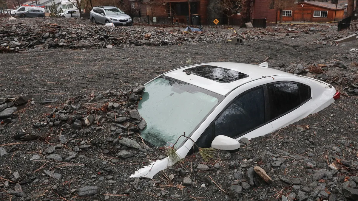
Landslide, mudslide, debris flow: What's the difference? Landslide. Mudslide. Rockslide. Debris Flow. Avalanche. Lahar. These all pretty much mean that something is moving downhill. And it's often due to heavy rain, melting snow or the movement of some other type of sludge. "Landslide" is the all-encompassing term for the rest of the events, and it simply means that some piece of earth is moving downslope. Here are 10 things to know about all types of landslides:Anything that can move can be part of a slide or flow. You’re probably used to hearing about rockslides or mudslides, but did you know that lava can flow with water? What about chunks of forests going downriver? Both of these have happened. There are two main types of mudslides. The first type is a mudflow, which is just the movement of water and mud. This type is usually shallower — about 15 feet deep or less. The second type is a debris flow. This is when water brings down mud and other debris like rocks, branches and even large boulders. Ventura County Sheriff chief of Camarillo Police Guy Stewart surveys the cascade of mud and rock that covered Gitana Ave in Camarillo Springs Friday morning, Dec.

The Weather Channel·
Weather

Pineapple Express decoded: Supercharged El Niño winters

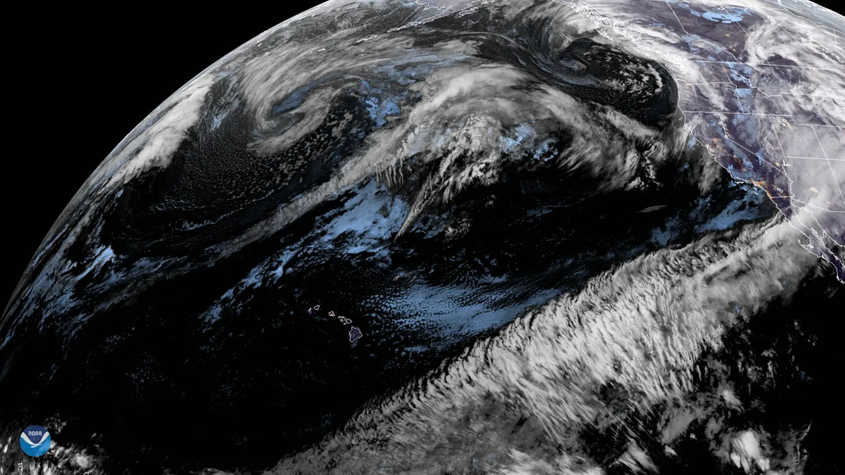
Pineapple Express explained: What it is and why El Niño mattersThe "Pineapple Express" is a tropical moisture plume that runs from near Hawaii to the West Coast — one of the biggest rainmakers California gets all winter. Meteorologists call it an atmospheric river. Firehose is more like it.(MORE: What's an atmospheric river?) The blueprintThe setup is straightforward: a low parked in the trough of the jet stream offshore, high pressure over the Four Corners, and the two working together to steer Pacific moisture straight into California, Oregon or Washington. It moves fast like a conveyor belt. What isn't straightforward is what happens when a Super El Niño gets involved — and there have only been two of those on record. Super El Niño adds fuelEl Niño tilts the odds toward a wetter, more active Pacific storm track. What it doesn't do is decide where the water lands. Get More of Our News on GoogleSet The Weather Company as a 'Preferred Source' to get quicker access to the news you value.(MORE: Your complete guide to El Niño)October–March precipitation as a percent of average during 11 strong El Niño winters.

The Weather Channel·
Weather

Super El Niño fueled winter could unleash more storms, driving more active pattern into the South

Super El Niño comes into major play for 2026-27 winter, NOAA outlook shows NOAA's Winter 2026-27 outlook is out, and it shows the El Niño will have a major effect on the season ahead. FOX Weather Meteorologists Stephen Morgan, Melanie Black, Michael Estime and Bob Van Dillen bring us the forecast and talk how this Super El Niño winter could compare to El Niño winters of the past. THE TAKEAWAYA Super El Niño is expected to keep much of the southern U. S. stormier and cooler this winter. Stormy pattern could help ease major droughts in the Southwest and Southern Plains. Northern and eastern U. S. will likely be warmer than average. El Niño is expected to have a large influence on this winter across the U. S., with more storms expected from Southern California across the entire Southern Tier to Florida, according to NOAA's latest seasonal forecast. Government forecasters said the increased likelihood of a stormy pattern across the southern U. S. could help ease major droughts in the Southwest and the Southern Plains. Meanwhile, NOAA's forecast called for warmer than average temperatures across much of the rest of the country. METEOROLOGICAL WINTER BEGINS DEC. 1 next

Fox Weather·
Weather

What are Santa Ana winds, and why are they so dangerous?

What are Santa Ana winds, and why do they fuel California wildfires? Santa Ana winds can down trees, trigger power outages and even damage buildings. They're also notorious for fanning some of the most destructive wildfires in Southern California history. What are Santa Ana winds? These winds form when an area of high pressure builds over the Great Basin, a region in the Intermountain West that includes Nevada and parts of other neighboring states. When this high forms, it creates a sharp pressure difference between the interior and the coast. Air then rushes downhill to the sea in an attempt to create balance. But there's an issue: California's mountain ranges get in the way.(MORE: The Pineapple Express is a firehose, and El Niño just turned it up)These hot, dry winds continue to speed up as they descend mountains. Any sparks can quickly become raging wildfires. This air is forced to squeeze through narrower mountain passes and canyons. One of these mountain ranges is the Santa Ana Mountains in Orange County, which is how these winds got their name in the first place.

The Weather Channel·
Weather

Flood threat shifts to Central and West Texas after tropically enhanced storms slammed Southern Plains

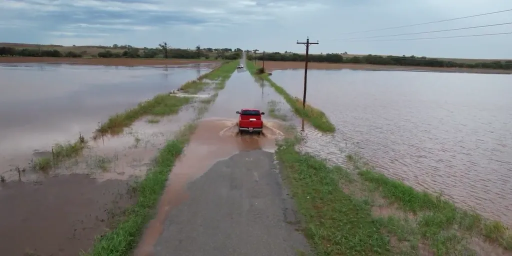
THE TAKEAWAYA Level 3 out of 4 risk of flash flooding covers areas south and east of the Davis Mountains Thursday, with periods of heavy rain extending into North Texas, Oklahoma and Missouri. Oklahoma City recorded more than 5 inches of rain Wednesday, now the second-wettest day in the city's history, since record-keeping began in 1890. U. S. storms are being enhanced by moisture from Tropical Storm Simon, with a large dip in the jet stream funneling Simon's moisture northward from the Mexican coast. A dangerous flash flood threat is shifting south over parts of West Texas and the Texas Hill Country after tropically enhanced storms dropped more than 5 inches of rain on Oklahoma City Wednesday. NOAA has issued a Level 3 out of 4 risk of flash flooding Thursday for areas south and east of the Davis Mountains, with periods of heavy rain extending into North Texas, Oklahoma and Missouri. HURRICANE TRUDY FORMS IN PACIFIC, COULD RAPIDLY INTENSIFY INTO POWERFUL CATEGORY 4 HURRICANE next Flooding in Piedmont, Oklahoma, on Oct. 14, 2026.

Fox Weather·
Weather

America's first TV weathercast aired 85 years ago today

It all started with a singing lamb. On today’s date 85 years ago, the first televised weather report occurred. Sponsored by Botany, a manufacturer of wrinkle-proof ties, a cartoon character called Wooly Lamb came on the screen of experimental New York City station WNBT-TV to introduce the forecast in song, singing, "It's hot. It's cold. It's rain. It's fair. It's all mixed up together. But I, as Botany's Wooly Lamb, predict tomorrow's weather. "This was followed by a screen of text that contained the next day's forecast. It was a modest start. At a time when there were fewer than 6,000 television sets being used in the entire country, the audience for Wooly Lamb’s weather report was likely viewed by a couple hundred people at most. But it was the beginning of what would eventually become a daily ritual for millions. Get More of Our News on GoogleSet The Weather Company as a 'Preferred Source' to get quicker access to the news you value. Lead Editor Chris DeWeese writes and edits a variety of newsletters for The Weather Channel.

The Weather Channel·
Weather

Magnitude 5.6 earthquake rattles remote region of Interior Alaska

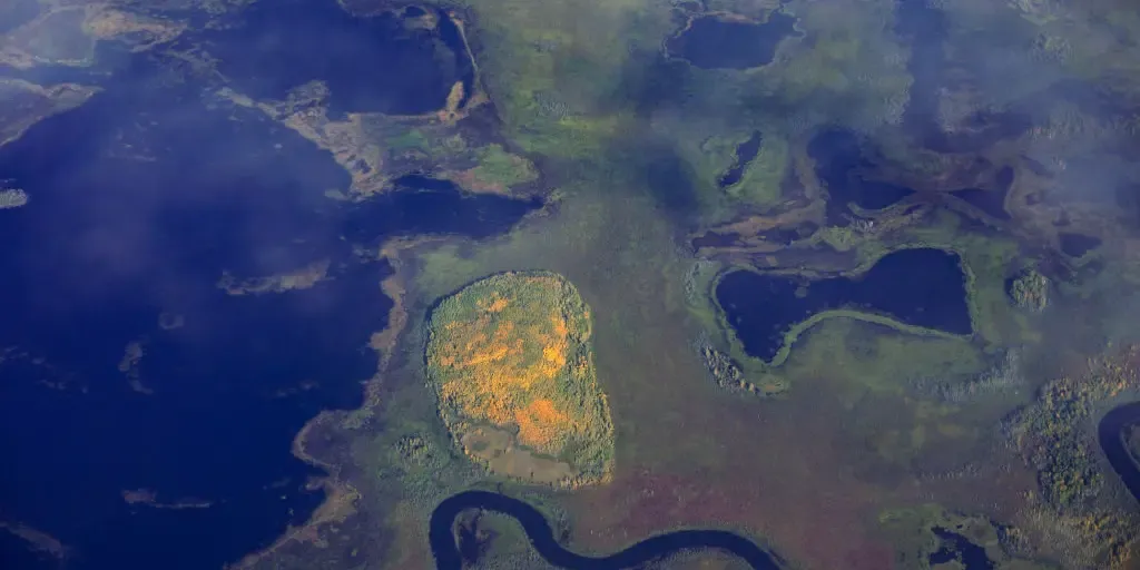
Alaska is one of the most seismically active states in the country. FAIRBANKS, Alaska — A magnitude 5.6 earthquake struck early Thursday about 27 miles north of Lake Minchumina, a remote community in Interior Alaska about 90 miles west of Denali National Park, according to USGS. The quake happened just after 3 a.m. local time and was relatively shallow, less than 3 miles below the surface. UNDERSTANDING THE PACIFIC RING OF FIRE: WHERE EARTHQUAKES AND VOLCANOES MEET30 people live in the remote area, according to the 2020 U. S. Census. FILE - YUKONKOYUKUK CENSUS AREA, AK - SEPTEMBER 6: Fall foliage contrasts with the landscape in a aerial view of Alaskan wilderness on September 6, 2022 in YukonKoyukuk Census Area, Alaska.   ((Photo by Bonnie Jo Mount/The Washington Post via Getty Images) / Getty Images)Alaska is one of the most seismically active states in the country. Lake Minchumina is within Interior Alaska, which is crossed by the very active Denali fault system, according to the USGS.

Fox Weather·
Weather

Powerful storm to slam the Northeast with rain, dangerous winds before first major fall freeze

Powerful storm to blast Northeast with severe weather, usher in season’s coldest temperatures A powerful fall storm will race through the Great Lakes Thursday, bringing rain and severe storms before washing out Friday outdoor plans across the Northeast. A Level 2 out of 5 risk of severe thunderstorms is now in place across parts of eastern Pennsylvania, northern Maryland and northern New Jersey. The storm will lash the coast with gusty winds and weekend morning low temperatures will plummet in to the 30s across New England behind the system. THE TAKEAWAYA powerful storm will sweep through the Great Lakes Thursday before blasting the Northeast Friday. Strong winds and heavy rain will soak the morning and evening commutes along the I-95 corridor, while severe storms could fire over the interior Mid-Atlantic. Parts of Pennsylvania, Upstate New York and Northern New England could see morning lows this weekend drop into the 30s and even the upper 20s. A powerful storm system will sweep through the Great Lakes Thursday before soaking the Northeast with a Friday washout, bringing a nasty combination of rain and strong wind gusts.

Fox Weather·
Weather

How is a 3,000-pound pumpkin possible? Weather makes all the difference

3,156-pound pumpkin sets world record as first-ever 3,000-pound gourdEvery fall, a handful of growers around the world chase a single goal: the heaviest pumpkin ever weighed. And right now, there's a 3,156-pound contender for a world record on the scale. This year, that race is playing out against a backdrop of record heat, drought and wild swings between scorching days and cool nights on both sides of the Atlantic, conditions that threaten to split a pumpkin's rind or stop its growth before it ever reaches the scale. Here's how a 3,000-pound pumpkin is possible, and the road bumps that weather can create before achieving victory. Ron Wallace's competition-winning pumpkin, which weighed in at 3,156 pounds at Frerichs Farm in Warren, Rhode Island on Oct. 10, 2026.(Frerichs Farm)2026 sets new world records for heaviest pumpkin everUntil recently, the official heaviest pumpkin on record was "Bagheera," grown by Ian Paton of Hampshire, England, weighing about 2,856 pounds, confirmed Oct. 3, 2026, at the Wargrave Weigh-Off. But things changed just a few days later, on Oct. 10, at the annual Southern New England Giant Pumpkin Growers Weigh-Off.

The Weather Channel·