BBlogFlow

Categories

Weather

4073 articles

Weather

Ring of fire pushes a late-summer humidity surge into southern Ontario

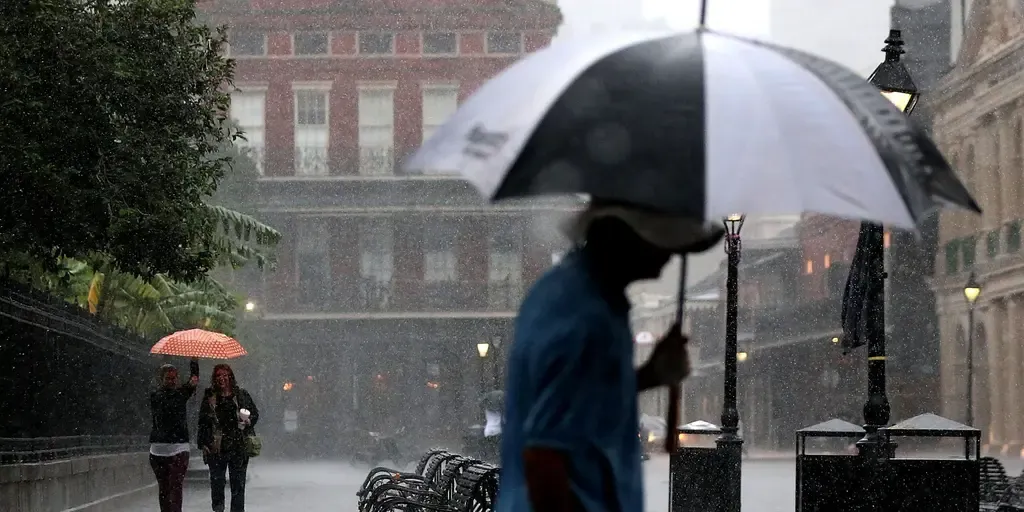
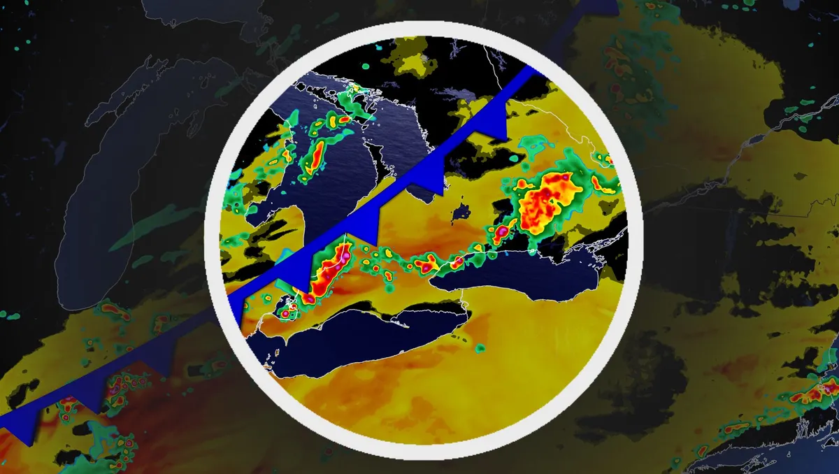
Summer may be on its way out, but a warm, humid air mass associated with the season won't in such a hurry to leave southern Ontario, yet. Visit our Complete Guide to Fall 2026 for an in depth look at the Fall Forecast, tips to plan for it and much more! Expect cloudy periods with a few rounds of rain and thunderstorms next week as southern Ontario will be included in the ring of fire, with very hot and humid conditions situated over the Mississippi Valley. Be sure to stay alert to the changing conditions, and check for any weather warnings in your area. Sticky air mass as summer not ready to depart, yetA surface high establishes over the southern Mississippi Valley early next week. That means a hot and humid air mass will builds over the valley and the Southern Plains. As a result, the muggy and unsettled air mass will be transported into parts of southern Ontario. With the humid conditions in play, folks stuck with the muggy air mass in southern Ontario may see daily showers and/or thunderstorms through the second half of the work week, and potentially into next weekend.

The Weather Network·
Weather

Picking the 2026 apple crop: Here’s what families need to know

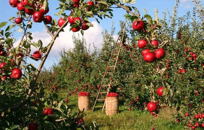
Canadian families are heading to the apple farm. But before you make some core memories, here’s how the weather impacted the 2026 crop . "You’ll find this year, because of all the rain, there might not be as many apples on the tree, but they are larger. So they are a bigger apple this year, typically because of the rainfall," said John Hughes, farmer and co-founder of Springridge Farm. September is the month for the best picking! British Columbia, Quebec, Nova Scotia and New Brunswick are also in full force, sharing their crop with the rest of the country. (Tom Swinnen/Pexels)"The challenge we had with the apples this year was in the spring. We had a lot of frost damage with the flowers and buds. The crop this year is maybe 30 per cent less than last year. But the last two years have been very heavy, in Ontario anyways. I think it will be more of a normal year this year," said Hughes. Nearly all Canadian apple farms are family-owned (97 per cent). As you head out this season, know you are supporting generations' worth of family memories and farming.

The Weather Network·
Weather

Weather Of The World: September 13

Wander the world one snapshot at a time. Explore striking moments of weather in motion in this week's slideshow. ByAda Wood•September 13, 2026Updated: September 13, 2026, 7:07 am EDTPublished: September 13, 2026, 7:00 am EDTAn ibis flies over the Wakodahatchee Wetlands at sunrise in Delray Beach, Florida.(Ronen Tivony/NurPhoto via Getty Images)F​rom sunset skies in Florida to signs of fall in Germany, it has been another busy week of weather around the world. Here are some of the most jaw-dropping and awe-inspiring weather photos we found this week. Young false red caps grow in a forest in Leuthen, Brandenburg, Germany, on Sept. 10, 2026. The false red cap is a species of mushroom that was introduced from North America and is spreading on sandy soils in pine forests.(Frank Hammerschmidt/picture alliance via Getty Images)A transport vessel sails on the Huai'an section of the Northern Jiangsu Canal in Huai'an City, Jiangsu Province, China, on Sept. 10, 2026.(Costfoto/NurPhoto via Getty Images)People light candles and earthen lamps as they gather at Durbar Square to observe a national day of mourning for victims of flash floods in Kathmandu, Nepal, on Sept. 7, 2026.

The Weather Channel·
Weather

Weather Whiz: September 13

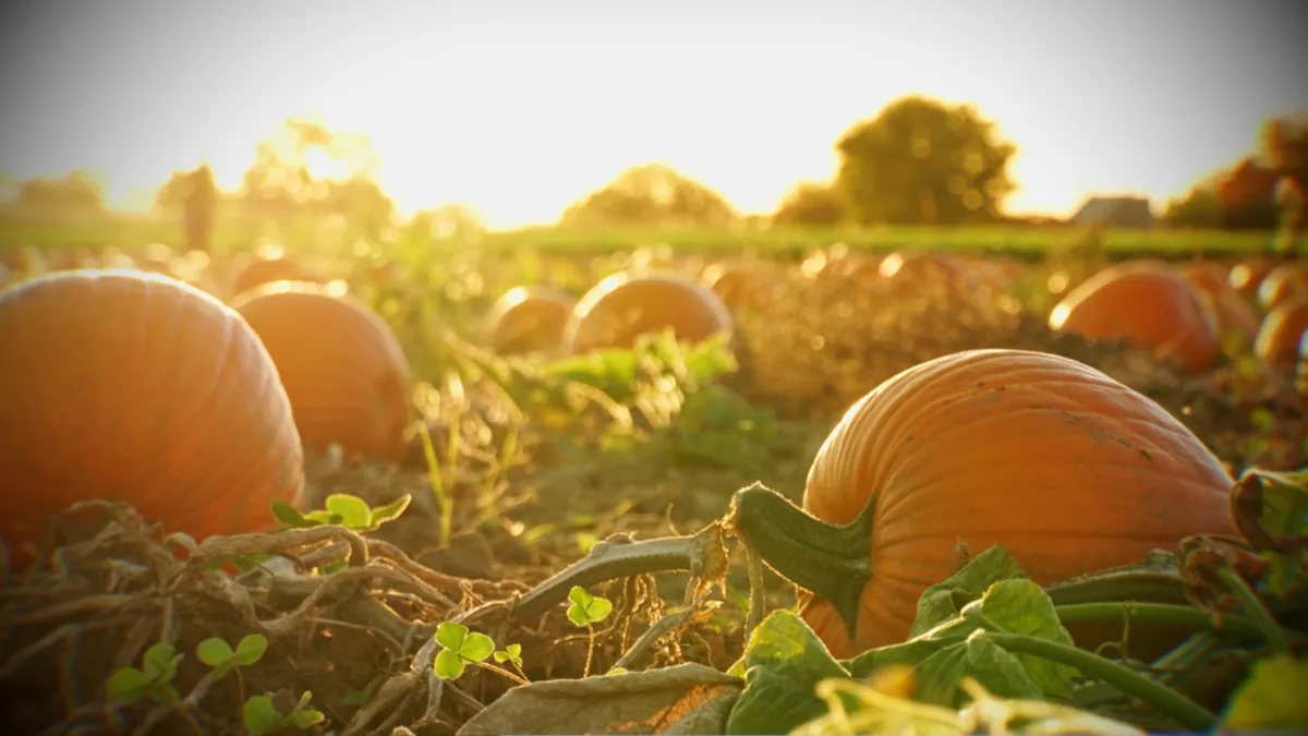
How well have you been paying attention to the weather this week? Here are five questions that will test your knowledge of what's been going on. QUESTIONSWe had a record-warm July and a soggy June. Is this a good or bad sign for this year's pumpkin crop? Meteorologists define ________ as an increase in a tropical storm or hurricane's maximum sustained winds of at least 35 mph in 24 hours or less. Why is wildfire smoke typically worse in the mornings? One in every three lightning strikes happens to people who are ________. The Gateway Arch in St. Louis is going dark for ________ all September long. .... ANSWERSBad — and it may mean fewer pumpkins this fallRapid intensificationTemperature inversionIndoorsBird migrationHow did you do this week? Come back for more exciting weather questions next week, or risk showing up to trivia night unprepared! Get More of Our News on GoogleSet The Weather Company as a 'Preferred Source' to get quicker access to the news you value.

The Weather Channel·
Weather

From Hawaii to Halifax, why is this hurricane season so bizarre?

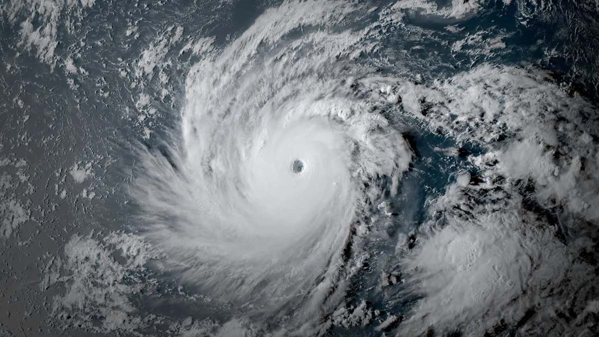
Hawaii can’t catch a break this year. Three tropical systems brought destructive winds and flooding to the Pacific islands so far this year, marking a trio of unusual swipes in a state that usually goes years without any serious threats. Conditions placing Hawaii under constant threat this year are largely the same forces responsible for keeping the Atlantic basin historically quiet. Forecasters expect the Atlantic to remain silent over the next week even as Hawaii faces several additional threats in the days to come. DON'T MISS: Latest forecast calls for a historic El Niño to peak this winterA trio of storms cause damage, major floodingThree tropical systems have affected the Hawaiian Islands so far this season. Hurricane Lala struck the Big Island on Aug. 15, with the centre of the eye missing landfall by a few dozen kilometres. High winds and torrential rains caused widespread damage across the region. Some areas received more than 900 mm of rain from the storm. Just a week later, an additional 100 mm of rain washed over the Big Island as Tropical Storm Moke passed south of the archipelago. Content continues belowHurricane Lowell passed close to western Hawaii on Sept.

The Weather Network·
Weather

Ready or not, Canada notches its first -10°C of the season

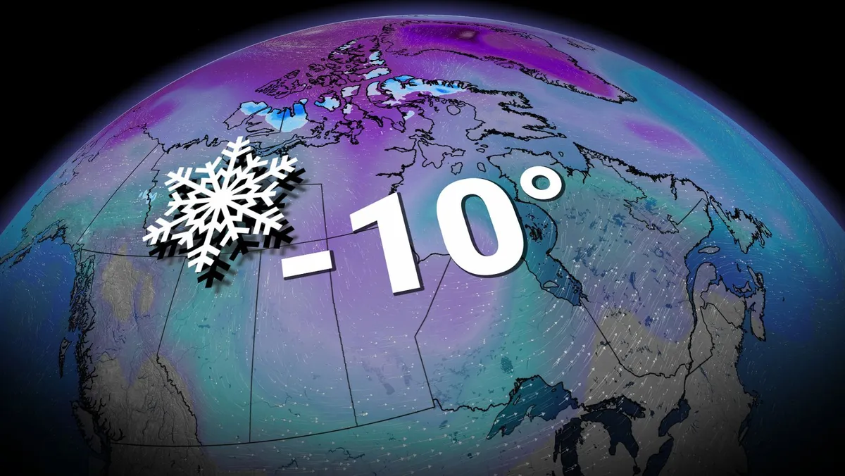
Canada has officially recorded a temperature below -10°C for the first time this season. We’ve notched this milestone right around the point in the year when you’d expect to see the country’s first minus double-digit reading. CANADA’S FALL FORECAST: Exceptional El Niño favours extended fallAlert, Nunavut, dropped to -14.0°C on Friday, Sept. 11. Located on northern Ellesmere Island, Alert is the world’s northernmost permanently inhabited place. The station there hasn’t gotten this cold so early in the year since 2017. Communities throughout Nunavut are usually the first to reach this temperature milestone each year. The first minus-teens last year occurred on Sept. 8 in Isachsen, while the first such reading in 2024 arrived in Eureka on Sept. 18. This won’t be the region’s last cold intrusion, either, as additional bouts of cold air spill down from the North Pole. When can we expect that level of chilly air to begin dipping southward? This year may feature an extended wait as an unusually mild autumn is expected throughout much of the country. Content continues belowDuring a typical year, however, here’s how this winter-like chill typically progresses.

The Weather Network·
Weather

Remains believed to be linked to Hurricane Helene victim discovered years after deadly storm

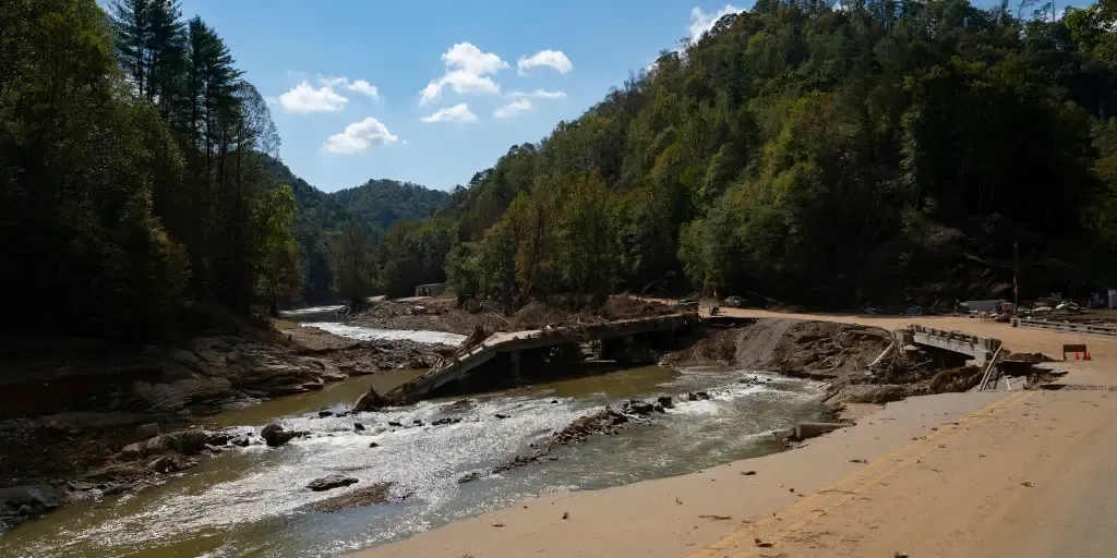
The remains are believed to be from a victim of the catastrophic Hurricane Helene flooding, which impacted Tennessee nearly two years ago. What factors caused Hurricane Helene to move so far inland? Nearly two years after Hurricane Helene devastated parts of Georgia and North Carolina, forecasters still describe it as unlike anything they had ever seen or experienced. FOX Weather Hurricane Specialist Bryan Norcross explains what allowed Hurricane Helene to push so far inland and remain powerful for so long. THE TAKEAWAYHuman remains believed to belong to a Hurricane Helene victim have been recovered. It comes nearly two years after the hurricane caused devastating destruction in the Southeast. Hurricane Helene made landfall along Florida's Big Bend as a Category 4 storm. WASHINGTON COUNTY, Tennessee - Police in Tennessee have discovered human remains that they believe belong to a Hurricane Helene victim. The Washington County Sheriff's Office said they are investigating a scene in the Jackson Island area after human remains were found by debris removal specialists.

Fox Weather·
Weather

Iowa band member dies after suffering heat-related emergency at football game, family says

IOWA CITY, Iowa - An Iowa community is mourning the loss of a college band student after he collapsed due to the heat during a football game last weekend, his family announced. Derek Phillips experienced sudden cardiac arrest during the first football game of the season, and he passed away days later after suffering brain damage, according to the Phillips family. SUMMER REFUSES TO QUIT AS RECORD HEAT SCORCHES MILLIONS ACROSS CENTRAL, SOUTHERN US"Despite the extraordinary efforts of the ICU team at the University of Iowa Hospital, the damage to his brain was too severe, and we have made the heartbreaking decision to remove life support," the Phillips family said. "Derek brought so much light, humor and kindness into this world. He was a phenomenal musician — whether he was playing jazz, singing his heart out or marching under the lights, music was the language of his soul," the Phillips family said on social media. The University of Iowa Hawkeye Marching Band announced Phillips' death on Facebook, noting that losing Phillips is one of the most difficult tragedies the band has ever experienced.

Fox Weather·
Weather

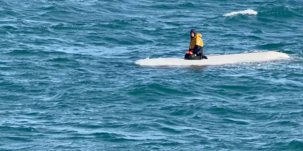
Coast Guard rescues teen stranded for days on capsized fishing boat in frigid waters off remote Alaska island

According to data from NOAA, water temperatures in the area were in the 40s. Teenager rescued from capsized boat after days in frigid waters A 15-year-old who had been trapped for three days atop a capsized fishing boat in the in the frigid waters off St. Lawrence Island, Alaska, was rescued on Monday by the U. S. Coast Guard and a good Samaritan boat. Video shows the moment the teenager was saved and taken aboard a boat to safety. JUNEAU, Alaska — The Coast Guard and Good Samaritans rescued a teen found sitting on top of a capsized fishing boat in the frigid waters off St. Lawrence Island, Alaska, near the U. S.-Russia maritime border. The 15-year-old was rescued and the bodies of two other people were recovered after being at sea for three days. The Coast Guard said their 18-foot fishing vessel departed the city of Savoonga on Friday, Sep. 4. FILE - SAINT PAUL, ALASKA - MARCH 1: Fishing boats near the closed king crab plant in Saint Paul, Alaska on March 1, 2025.  ((Photo by Carolyn Van Houten/The Washington Post via Getty Images) / Getty Images)The search and rescue mission began Sunday when Alaska State Troopers notified the Coast Guard that the boat was overdue.

Fox Weather·
Weather

Taste of fall sweeps across the Midwest as severe storms, damaging winds and flooding threaten millions

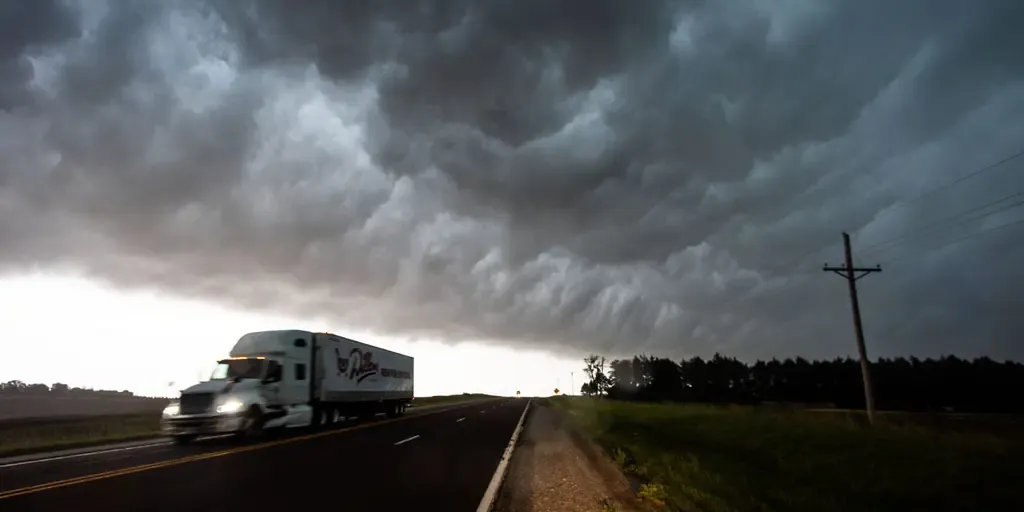
THE TAKEAWAY: Severe storms and flash flooding will impact the Upper Midwest and Central Plains through the weekend. Large hail, damaging winds and heavy rain are all primary concerns of these storms. A Level 2 out of 5 is in place across parts of Kansas and Oklahoma on Saturday. As fall weather approaches, severe storms and flash flooding are impacting the Upper Midwest and Northern Plains through the weekend, bringing damaging winds, large hail and heavy rainfall to millions of people. SEVERAL DAYS OF HEAVY RAIN AND THUNDERSTORMS TO PERSIST ACROSS THE GULF COASTThis comes as stronger temperature gradients fuel a stronger and more southerly jet stream, bringing more fall-like air across the North along with periods of storms and rain. Severe storms fire up tornado in Minnesota Severe storms were firing up across the Midwest on Friday night. FOX Weather Exclusive Storm Tracker Corey Gerken captured incredible video of a crazy-looking tornado in Minnesota. Severe storms rolled through northern portions of the Upper Midwest on Friday, which was the first blast of stormy weather for the region which will last into the middle of next week, according to the FOX Forecast Center.

Fox Weather·
Weather

Bryan Norcross: No apparent tropical trouble as we look back at peak of the incredible season 100 years ago

Last updated at 10 a.m. on Saturday, Sept. 12, 2026.100 YEARS AGO TODAYThe modern record book shows that the tropical storm east of the Caribbean became a 75 mph hurricane on the morning of September 12, 1926. It was heading in the general direction of the waters just north of Puerto Rico. On that same morning, a tropical depression with 35 mph winds was creeping north in the Caribbean south of western Cuba. BRYAN NORCROSS: THE ATLANTIC STAYS MOSTLY QUIET WHILE THE PACIFIC STAYS BUSYThat Sunday, the newspapers in Miami and Fort Lauderdale had no coverage of these two systems, which would eventually converge on South Florida. Waves start to pick up as a storm forms.  (Robert Ray / FOX Weather)The front page of the Miami Herald did report on the powerful hurricane that was crawling in the general direction of the northeastern seaboard of the U. S. The Category 4 storm was sending strong swells towards the coast south of Charleston, South Carolina.

Fox Weather·
Weather

These simple tips can prevent a furnace emergency as the mercury plunges

While it may still be more than a week before summer officially comes to a close, the temperatures are set to take an unseasonable plunge on the Prairies in the coming days. Thankfully, we aren’t expecting any frost or flurries in the region quite yet, but daytime highs will barely crack the double digits in cities like Edmonton and Calgary, Alta., this weekend. It’s a good reminder that real winter weather, including dangerous cold, isn’t far off. With that in mind, we spoke to renowned Calgary HVAC expert, “Pete the Plumber,” about ensuring your furnace system runs smoothly all winter long. Saturday temperatures. (The Weather Network)Focus on the cooling before the warmingIf your home has an air conditioning system, Pete says it’s important to winterize that, as well. This can be as simple as cutting off its power supply, clearing debris and covering the top of the AC unit. Content continues belowCutting power helps ensure your AC system doesn’t start up during an unseasonably warm day (like during a chinook), which risks pulling water into the unit where it can freeze, expand and cause damage overnight.

The Weather Network·
Weather

Hidden toll of extreme weather? Fear of the next disaster

A couple embrace near the remains of the Spokane, Wash., duplex where they lived. They were able to get to safety, but the home burned in a wildfire in early August 2026. (AP Photo/Young Kwak)For some Americans, the fear doesn't end when the weather does.57% of those whose communities sustained extreme-weather damage in the past year say they are worried another disaster is just around the corner. That's a striking number because it suggests the toll of a disaster doesn't necessarily end when the cleanup does. A damaged roof can be repaired. A flooded road can reopen. But what happens to the people who now look at the next forecast and worry, "Could it happen all over again? "(MORE: Parenting through a natural disaster)That's the quieter cost of an increasingly active weather era, and one that's much harder to put a dollar figure on. Get More of Our News on GoogleSet The Weather Company as a 'Preferred Source' to get quicker access to the news you value. Worry looks different across the countryNearly 40% of all Americans experienced some sort of weather disaster in the past 12 months, according to a nationally representative Walton Family Foundation-Gallup survey.

The Weather Channel·
Weather

Ask a met: If clouds weigh so much, how do they float/stay in the sky?

"If clouds weigh so much, how do they float/stay in the sky? " — LeeAnnBefore I begin answering this question, the question itself may have already surprised you — clouds weigh a lot? Yes, an average cumulus cloud can weigh over 1 million pounds! To find out more on the science behind this, watch this video. Now back to the question, and it’s a great one. If clouds are so heavy, then why wouldn’t they fall out of the sky? Well, even though there’s an immense amount of water inside these clouds that contribute to their overall weight, the droplets themselves are extremely tiny. Get More of Our News on GoogleSet The Weather Company as a 'Preferred Source' to get quicker access to the news you value. Since they are so small, the rising air— that contributed to the cloud formation in the first place — keeps the tiny droplets suspended in the sky. It’s similar to thinking about dust particles floating around in your house — they stay suspended for much longer than you would think. Once the droplets collide and become bigger, and therefore heavier, we begin to see rain fall from the sky because gravity finally wins out.

The Weather Channel·
Weather

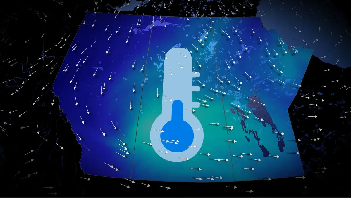
Fall cooldown to grip the Prairies this weekend, alpine snow included

A significant temperature drop is set to affect the Prairies starting Friday, with cooler conditions spreading from Alberta into Saskatchewan and Manitoba through the weekend. Visit our Complete Guide to Fall 2026 for an in depth look at the Fall Forecast, tips to plan for it and much more! Alberta will experience single-digit morning lows on both Saturday and Sunday, with Calgary potentially dropping to near 4°C—the coldest morning low since May 9 (3.7°C). Daytime highs across the region may struggle to reach double digits, sitting 5–10°C below the seasonal average for early to mid-September. Regina is expected to see a high of just 13°C on Saturday, the city's coldest day since May 15, which recorded 10.5°C. In the Rockies and Coastal Mountains, freezing levels will plunge to near 2,000 m, dropping as low as 1,600 m around Jasper. This will allow precipitation to fall as snow in alpine areas, with noticeable snowcaps expected by the weekend. RELATED: Some of Canada’s first frost advisories of the season issuedThe cooldown comes as an upper-level trough deepens, ushering in northerly winds and pulling in a chilly air mass from northern Canada.

The Weather Network·
Weather

Persistent downpours trigger flood threat for drought-ridden Southeast through the weekend

THE TAKEAWAYProlonged storms will continue impacting the Southeast through this weekend. Downpours and thunderstorms could cause flash flooding. A large section of the Southeast is under a Level 1 out of 4 threat on Friday. Prolonged late-summer downpours and thunderstorms continue to hammer the Southeast, with high pressure funneling in tropical moisture and increasing the flood threat into the weekend. As the system peaks heading into the weekend, the highest rain totals will likely target the Gulf Coast and central Florida on Saturday. A resident walks with an umbrella during a rain storm in Miami, Florida, US, on Thursday, June 13, 2024.  (Eva Marie Uzcategui/Bloomberg  / Getty Images)On Friday, large portions of the Southeast are under a Level 1 out of 4 threat, extending from the Carolinas to the Gulf Coast, excluding Florida. Severe storms ripped through parts of the Southeast on Friday, triggering a ground stop at Hartsfield-Jackson International Airport in Atlanta. Ground stop in Atlanta at 4:30 p.m. EST, as severe storms ripped through parts of the Southeast.

Fox Weather·
Weather

Major global heat records shattered this summer

The world just sweltered through a historic three-month stretch that saw record-breaking temperatures across nearly every continent and ocean basin. Temperatures will continue running warmer than normal as we dive into the autumn months, driven in part by a strengthening El Niño, virtually assuring that additional records are at risk in the weeks and months to come. DON’T MISS: Latest forecast calls for a historic El Niño to peak this winterThe list of records compiled by NOAA is voluminous. Average worldwide temperatures between June and August were the hottest ever observed during that three-month stretch of the year, running 1.21°C above normal. This was also the world’s hottest August on record, with average readings coming in 1.32°C above normal. Global records date back to 1850. Global sea surface temperatures reached an average of 21.18°C for four days in late August, which is the all-time warmest average ever observed. A strong and growing El Niño in the Pacific helped propel ocean temperatures to their lofty heights. North America notched its all-time warmest summer since records began in 1895.

The Weather Network·
Weather

Severe weather heading to northwestern Ontario Friday evening

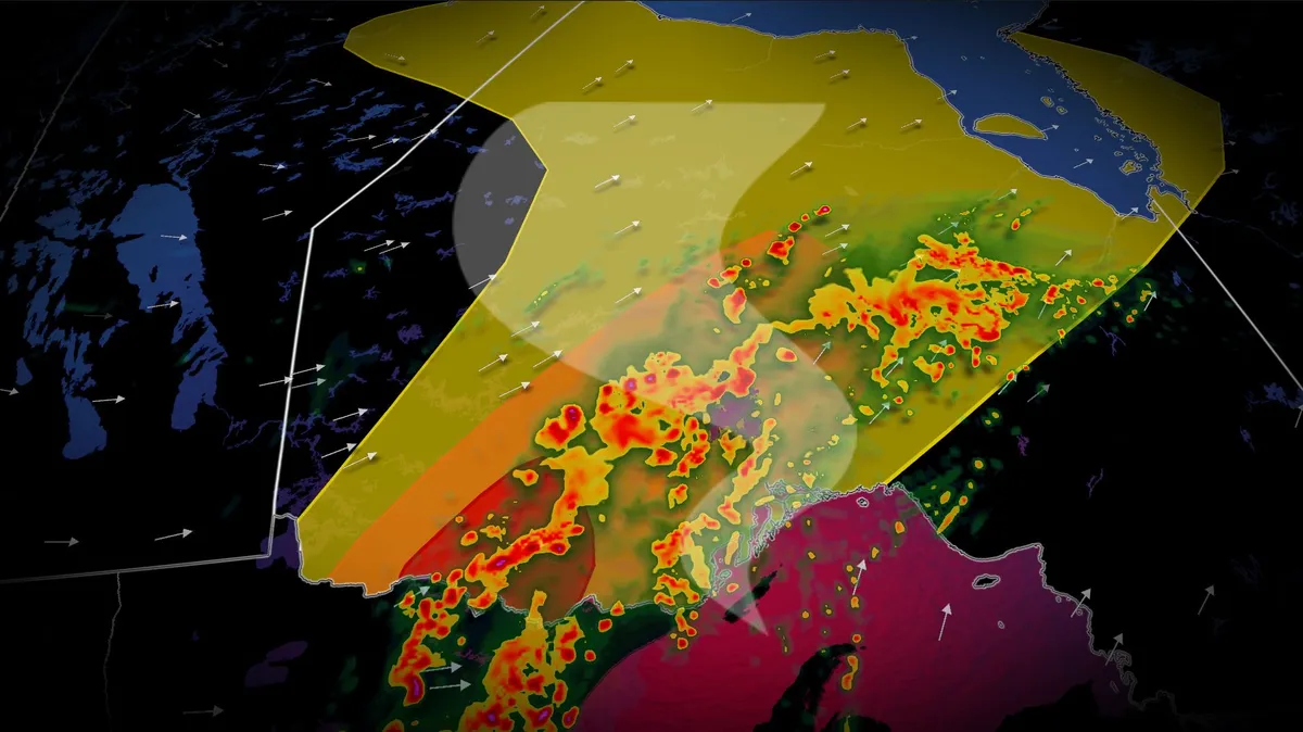
A low pressure system moving out of South Dakota is set to bring active weather to northwestern Ontario late Friday and into Saturday. Thunderstorms are expected to develop Friday evening along a warm front, intensifying south of the border before crossing into northwestern Ontario. The storm setup and atmospheric conditions could support the development of tornadoes, particularly near the international border. Visit our Complete Guide to Fall 2026 for an in depth look at the Fall Forecast, tips to plan for it and much more! Be sure to stay alert to the changing conditions, and check for any weather warnings in your area. Risk for strong storms and a slight tornado threat Friday eveningThese storms will initially form as isolated cells over Wisconsin, but will likely take on a linear structure as they approach the Canadian border. The main risks include large hail (up to 4 cm in diameter), intense rainfall, and damaging winds. There is also a chance for brief tornadoes near the international border due to a Quasi-Linear Convective System (QLCS) setup. Localized flooding is possible in areas experiencing heavy downpours.

The Weather Network·