Taste of fall sweeps across the Midwest as severe storms, damaging winds and flooding threaten millions
This story deserves to be shared
Send it to someone who'd care, or post it on your networks.
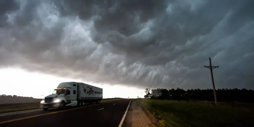
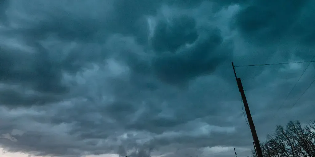
THE TAKEAWAY: Severe storms and flash flooding will impact the Upper Midwest and Central Plains through the weekend. Large hail, damaging winds and heavy rain are all primary concerns of these storms. A Level 2 out of 5 is in place across parts of Kansas and Oklahoma on Saturday. As fall weather approaches, severe storms and flash flooding are impacting the Upper Midwest and Northern Plains through the weekend, bringing damaging winds, large hail and heavy rainfall to millions of people. SEVERAL DAYS OF HEAVY RAIN AND THUNDERSTORMS TO PERSIST ACROSS THE GULF COASTThis comes as stronger temperature gradients fuel a stronger and more southerly jet stream, bringing more fall-like air across the North along with periods of storms and rain. Severe storms fire up tornado in Minnesota Severe storms were firing up across the Midwest on Friday night. FOX Weather Exclusive Storm Tracker Corey Gerken captured incredible video of a crazy-looking tornado in Minnesota. Severe storms rolled through northern portions of the Upper Midwest on Friday, which was the first blast of stormy weather for the region which will last into the middle of next week, according to the FOX Forecast Center.
This article is an excerpt. To read the full content, visit the original source. Fox Weather
Related articles
Super El Niño Midwest winter will be mild, but there's more
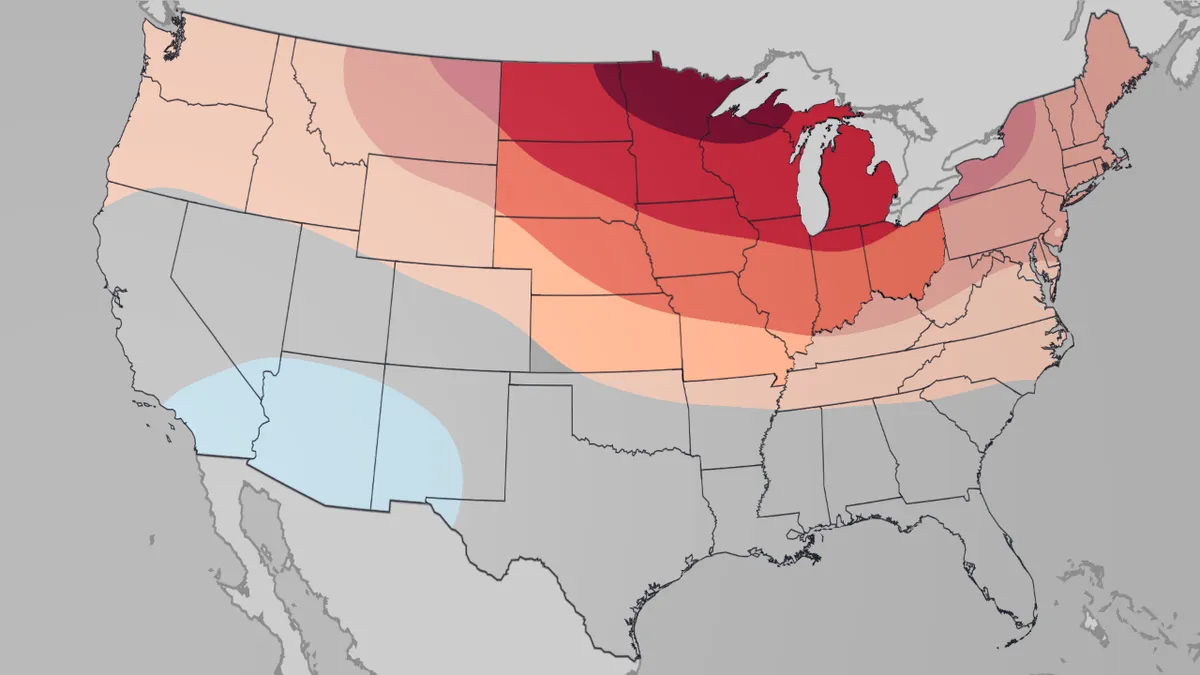
How will El Niño impact how your winter feels? Winter in the Midwest is expected to be mild, largely due to a super El Niño. And those temperatures and precipitation could have impacts on snowfall and your heating bill in the coldest months. (MORE: Our complete coverage of El Niño)Here's the outlookThe Weather Company's temperature outlook from December through February shows the Midwest with temperatures most above average of any region in the country, especially from northern Minnesota to Upper Michigan. This is the December 2026 through February 2027 temperature outlook issued by The Weather Company on Sept. 21, 2026. The Midwest region is highlighted. We also expect the winter to skew a little drier than average from the Northern Plains to the western Great Lakes. This drier signal looks strongest in the Northern Plains in December and in the western Great Lakes and Upper Midwest in February, according to The Weather Company energy forecasting team. (MORE: Complete US Winter Outlook)Get More of Our News on GoogleSet The Weather Company as a 'Preferred Source' to get quicker access to the news you value.
Timeline: When will dangerous, tropically enhanced flooding reach the Southwest, Southern Plains and Midwest?
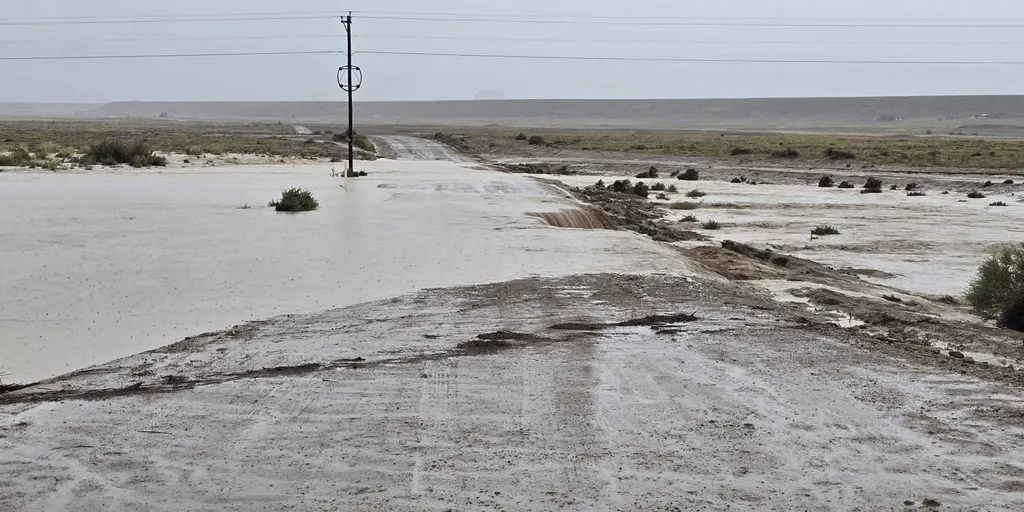
THE TAKEAWAYFlood Watches have been issued across nine states this week across the Four Corners, Southwest and Plains, as moisture from Hurricane Polo and Tropical Storm Rachel surge north. Many areas throughout the week could receive 6 to 8 inches of rain, or more.80 million people are in the path of Thursday's flood threat from Texas to the Upper Midwest. A dangerous multiday flood event is developing across the Four Corners, Southwest and Plains this week as tropical moisture from the remnants of Polo, which made landfall in Baja California late Monday, and Hurricane Rachel spread northward through the week. According to the FOX Forecast Center, up to 25 states could see impacts from this weather system this week. OVER 150M FACE DANGEROUS, WEEKLONG FLOOD THREAT ACROSS 30+ STATES FUELED BY POWERFUL PACIFIC TROPICAL SYSTEMS next Monsoon thunderstorms trigger flash flooding washing out part of Highway 491 in Newcomb, New Mexico, on Sep. 16, 2026.
Midwest, including Chicago and Columbus, under flood threat
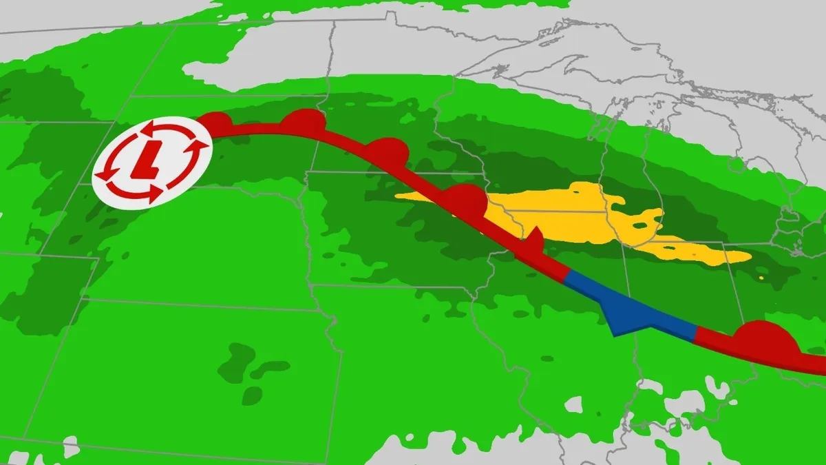
An elevated threat of flash flooding is expected across the Midwest, with heavy rainfall affecting areas already soaked this week including Chicago into parts of Indiana and Ohio. Happening nowThe map below shows where rain is falling right now, along with any flash flood warnings in the green polygons. Local flash flooding is possible in cities such as Chicago, Indianapolis and Columbus. Day by day forecastThrough Monday morning, the heavy rain threat may linger from northern Illinois through northern Indiana and western Ohio, while also spreading into parts of the Northeast. With the saturated ground from Saturday's rainfall, flooding remains a threat across Chicago to Columbus. Flooding is possible in the area marked in yellow on the map below. How much more rain? Additional rain is expected in the darker green on the map below. Get More of Our News on GoogleSet The Weather Company as a 'Preferred Source' to get quicker access to the news you value. The biggest concern through Monday is the corridor from eastern Iowa into northern Illinois, northern Indiana and western Ohio, where flooding rain fell last week.
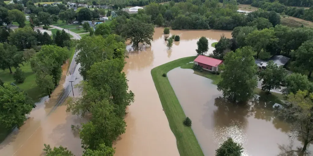
Waterlogged Midwest facing intense flooding through Sunday as severe storms lash region
THE TAKEAWAYRelentless heavy rain and flooding, brought on by severe storms, is targeting millions across the Midwest and the Great Lakes through Monday. The Storm Prediction Center is warning of "locally considerable urban flooding" in areas such as Chicago. The week-long firehose of storms aimed at parts of the Midwest, Plains and Ohio Valley will extend through Sunday, putting millions at risk of flash flooding as thunderstorms repeatedly track over the same corridor. NOAA's Weather Prediction Center (WPC) has issued a Level 2 out of 4 flash flood threat for parts of the Midwest through Monday. A widespread 3 to 5 inches of rain could still fall across the region, including Chicago, with some localized areas potentially seeing 5 to 8 inches. next Neighborhoods in Bluffton, Indiana, flooded on Sep. 17, 2026.
Millions under prolonged flash flood threat as relentless storms pummel Midwest, Central Plains
THE TAKEAWAYA persistent pattern is set to bring heavy rain, flooding and severe storms to the Midwest and Middle Mississippi Valley into Saturday. Rounds of thunderstorms and downpours developed from the Texas Panhandle, across the Midwest to the Great Lakes on Tuesday. The heaviest rain is expected just north of Kansas City, across parts of Kansas and Missouri, where a Level 3 flash flood threat is in effect into Wednesday morning. Relentless storms are slamming parts of the Midwest and Central Plains as a stalled weather pattern fuels a weeklong flash flood threat that will last into Saturday. A Level 2 out of 4 risk of flash flooding stretches across a corridor from Amarillo, Texas, across Missouri to northern Indiana. FLOODING RAIN, THUNDERSTORMS THREATEN MAJOR EAST COAST CITIES AS ONGOING DOWNPOURS DRENCH NORTHEASTThe storms will increase the danger of flash flooding as additional downpours move across an already waterlogged region. Intense rain slammed Council Bluffs, Iowa, on Monday, Sep. 15, 2026. (@weatherA_H via Storyful)The stormy pattern began Monday when severe storms swept through parts of Nebraska and Iowa.
0 comments
No comments yet. Be the first to share your thoughts!