BBlogFlow

Categories

Weather

4073 articles

Weather

James Webb and Hubble Space Telescopes discover tiny new worlds deep in our solar system

THE TAKEAWAYJames Webb and Hubble Space Telescopes discover tiny new worlds deep in the solar system. NASA said 27 newly discovered tiny TNOs were found deep in our solar system. TNOs are essential building blocks for a planet. For the first time, scientists combined the power of NASA’s Hubble and James Webb Space Telescopes in search of far-flung bodies deep in our solar system. While observing deep in our solar system, experts discovered Trans-Neptunian Objects (TNOs), small, faint, icy bodies orbiting the sun beyond Neptune, according to NASA. Generally, TNOs are 100 million times fainter than objects visible to the unaided eye. They can be solar system space debris, celestial bodies and minor planets. NASA'S HUBBLE SPACE TELESCOPE REVEALS GIANT ATMOSPHERIC WAVE AROUND SATURN'S SOUTH POLEThrough further observations and data, scientists analyzed the color, composition and size of 27 newly discovered tiny TNOs. This discovery offers a glimpse into the early stages of planet-building, when a disk of dust and pebbles orbiting the sun coalesced into city-sized "planetesimals," the solid building blocks that clump together to form planets.

Fox Weather·
Weather

While the Atlantic basin runs dry, a rare 'medicane' is in the works

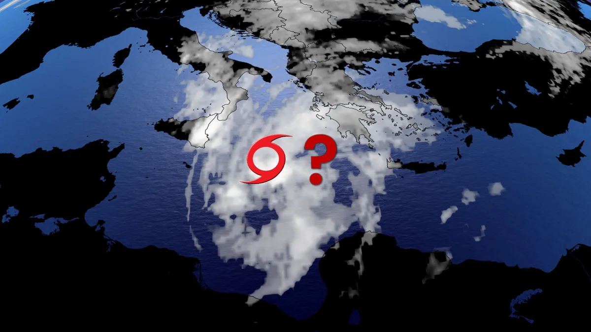
While forecasters in the Atlantic await the arrival of the season's first hurricane, the latest on the calendar on record, the Mediterranean Sea may soon welcome a rare "medicane. "Hurricane-like storms sometimes form in the Mediterranean Sea, striking portions of Europe and Africa with damaging winds and destructive flooding. So, combining hurricane and Mediterranean, the storms are given the moniker of medicane. This week a medicane is likely to form just northeast of Tripoli, Libya, expected to develop sometime in the Tuesday to Thursday time frame. Forecasters are keeping a close eye on area of low pressure that has tropical characteristics. As of Monday, confidence is in the low-to-medium range (30 to 40 per cent chance) as the path is hard to predict. Content continues belowSurrounding regions such as Sicily, Greece, northern Libya and northwestern Egypt should be aware of the storm developing. Similar to a tropical storm, impacts could include strong winds (tropical storm-force winds) and inland flooding. The eastern Mediterranean waters are running several degrees above average, giving the convective storm suitable fuel to grow.

The Weather Network·
Weather

See it: Disney World visitors become stranded after lightning strike shuts down monorail

The severe weather event derailed visitors' plans at the park, leaving them trapped for an hour and a half, passengers said. THE TAKEAWAYPassengers at Disney World became stuck on a monorail after a lightning strike shut down the system. The passengers were stuck for an hour and a half after the monorail shut down. Disney guest relations awarded the victims a $50 gift card each after the delay. BAY LAKE, Fla. – A dream vacation to Disney World didn’t go as planned in Florida when a monorail full of passengers became stuck after a lightning strike fried the system. A weekend of severe storms affected the magical kingdom of Disney World, leaving passengers stranded on a monorail after a lightning strike shut down the electrical system, according to passengers. MORE THAN 400 ALLIGATORS REMOVED FROM WALT DISNEY WORLD SINCE TODDLER'S TRAGIC DEATH IN 2016The severe weather event derailed visitors' plans at the park, leaving them trapped for an hour and a half, passengers said. This comes as the Sunshine State experienced a weekend of wet weather and thunderstorms, with more on the way all week long. Disney World monorail passengers were left stranded.

Fox Weather·
Weather

Sticky September air mass lingers in southern Ontario with showers, storm risk

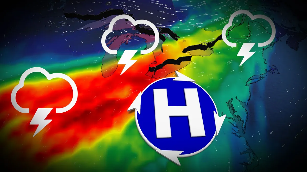
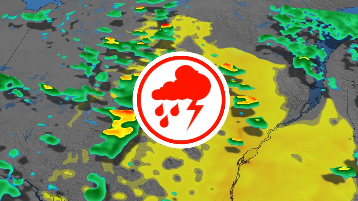
The ring of fire returns to southern Ontario by midweek with the risk of daily showers, and thunderstorms for some, amid a sticky September air mass. Visit our Complete Guide to Fall 2026 for an in depth look at the Fall Forecast, tips to plan for it and much more! Expect cloudy periods with a few rounds of rain and thunderstorms as southern Ontario will be included in the ring of fire, with very hot and humid conditions situated over the Mississippi Valley. Be sure to stay alert to the changing conditions, and check for any weather warnings in your area. Sticky air mass as summer not ready to depart, yetA surface high establishes over the southern Mississippi Valley early this week. That means a hot and humid air mass will build over the valley and the Southern Plains. As a result, the muggy and unsettled air mass will be transported into parts of southern Ontario. With the humid conditions in play, folks stuck with the muggy air mass in southern Ontario may see daily showers and/or thunderstorms through the middle of the work week for those located directly beneath a stalled, frontal boundary.

The Weather Network·
Weather

First day of fall: why there are two answers

There are two different "falls" in the world of meteorology. Meteorological fall begins on Sept. 1, while the autumnal equinox, which people are more familiar with, begins a few weeks later. There is a scientific reason for the different start times, and maybe I can convince you that meteorological fall is better. Let's start with the equinoxFall equinox, astronomical fall or the autumnal equinox. They are all the same. The fall equinox is the moment when the sun's most intense rays are directly located over the equator. This means that there is roughly 12 hours of day and 12 hours of night on that day. (FALL OUTLOOK: Strengthening El Niño is taking charge)It changes slightly every year, and this year it takes place at 8:05 p.m. EDT on Sept. 22. Get More of Our News on GoogleSet The Weather Company as a 'Preferred Source' to get quicker access to the news you value. The fall equinox is the second roughly 12-hour day and night in the year after the spring equinox. They come between the solstices, moments of the greatest discrepancy of day and night, depending on where you live.

The Weather Channel·
Weather

Bryan Norcross: Keeping half an eye on the Atlantic and Pacific while we look back to 100 years ago today

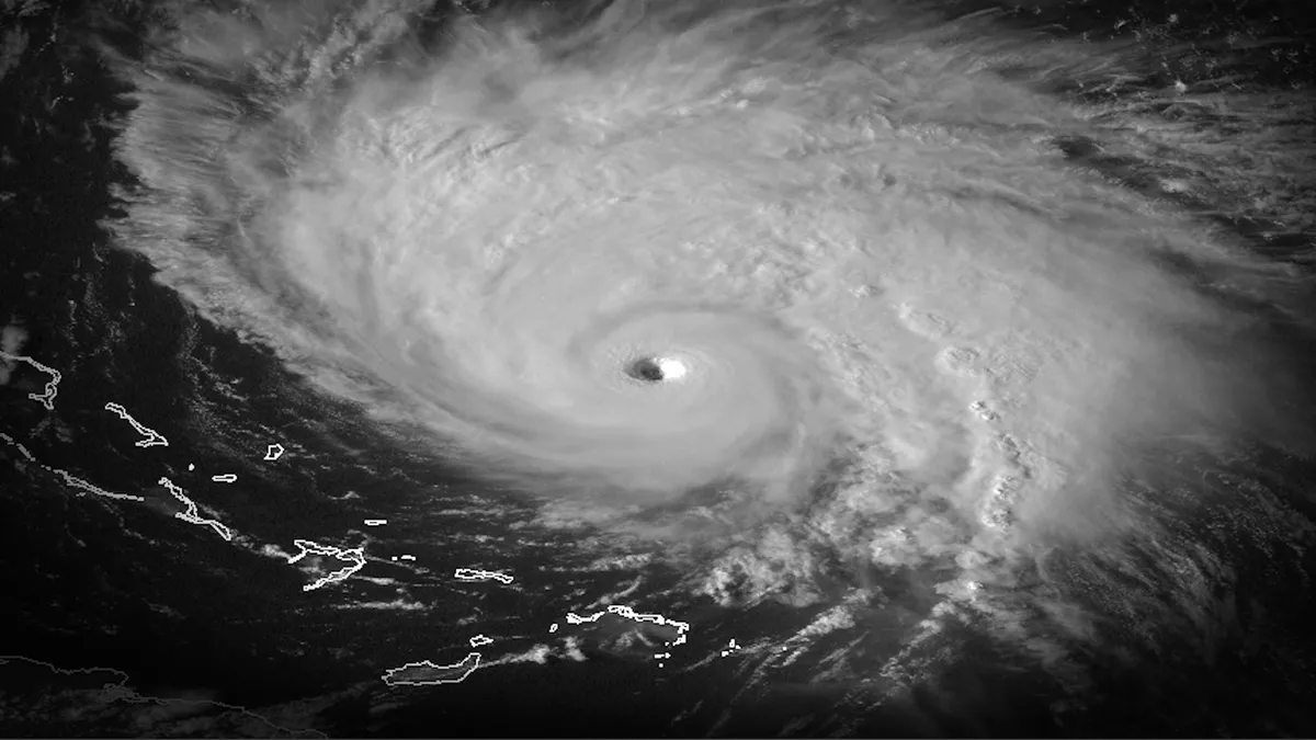
Last updated at 11 a.m. on Monday, Sept. 14, 2026. SEPTEMBER 14, 1926Florida newspapers on Tuesday mentioned the hurricane southwest of Bermuda, as well as what they called a disturbance "of only slight intensity" near Cienfuegos on Cuba’s south coast. There was no mention of the low-pressure system near the northeastern Caribbean that would go on to become one of the greatest hurricanes of all time. Forecast track of the hurricane 100 years ago. (Bryan Norcross / FOX Weather)The U. S. Weather Bureau in Washington sent word to the Miami office that a disturbance had been detected northeast of Saint Kitts in the morning. That information was too late to make it into the papers that day, but there wasn't much to say anyway, except that it existed. GET THE LATEST FROM HURRICANE SPECIALIST BRYAN NORCROSSThe modern estimate, based on data received the following day, is that the system was in fact a Category 2 hurricane with top winds of about 105 mph at 8 a.m. The NOAA reanalysis shows it slowly strengthening during the day.

Fox Weather·
Weather

Gulf Stream speeding up: What NOAA's new study found

The Gulf Stream is speeding up. Scientists say that's a big dealFor years, the story about Atlantic Ocean currents has been one of slowdown, which will cause irreversible change. A new NOAA study complicates it. Researchers at NOAA's Atlantic Oceanographic and Meteorological Laboratory (AOML) and the University of Miami analyzed 31 years of continuous satellite measurements and found the Gulf Stream weakened for a decade and then sped up for about a decade. Where this happenedThe Gulf Stream is a warm ocean current that originates around the Gulf and Caribbean and pushes warm water to the North Atlantic and Europe. But the behavior of the Gulf Stream was not uniform. Shenfu Dong, an oceanographer at NOAA’s Atlantic Oceanographic and Meteorological Laboratory, mentioned that the shift was "far more dynamic than a simple slowdown narrative. "Long story short, one of the segments of the Gulf Stream, the current upstream leg that moves between Florida and the Bahamas, stayed consistent. But when the stream separates from the coast and runs free in the open Atlantic, that is where the speed-up occurs. Winds speeding up in the North Atlantic allowed the Gulf Stream to speed up.

The Weather Channel·
Weather

Hurricane Hortense damaged Atlantic Canada in 1996

Hurricane Hortense proved that a storm doesn’t need to be a powerhouse in order to produce widespread damage. The system left behind a trail of wind damage and flash flooding after striking parts of the Caribbean on its way to landfall in Nova Scotia late in the evening on Sept. 14, 1996. DON’T MISS: Why focusing on a hurricane’s category is downright dangerousHortense began as a classic tropical wave in early Sept. 1996. The wave gradually organized as it crossed the warm Atlantic, eventually making landfall in Puerto Rico late on Sept. 9 as a hurricane with 130 km/h winds. Most of the damage occurred when Puerto Rico’s rugged mountains quickly wrung out more than 500 mm of rain from the system. Dozens of people died in the subsequent flash floods. Hurricane Hortense rapidly intensified as it pulled away from the Antilles, growing into a formidable Category 4 storm with maximum sustained winds of 220 km/h by Sept. 12. Cooler waters and an unfavourable atmosphere forced Hortense to lose steam as it accelerated north toward Atlantic Canada. Heavy rain began washing over the Maritimes ahead on Sept. 14 as the Category 1 storm approached landfall near Sheet Harbour, Nova Scotia.

The Weather Network·
Weather

Canada hits 100+ tornadoes, how unusual is such a busy year?

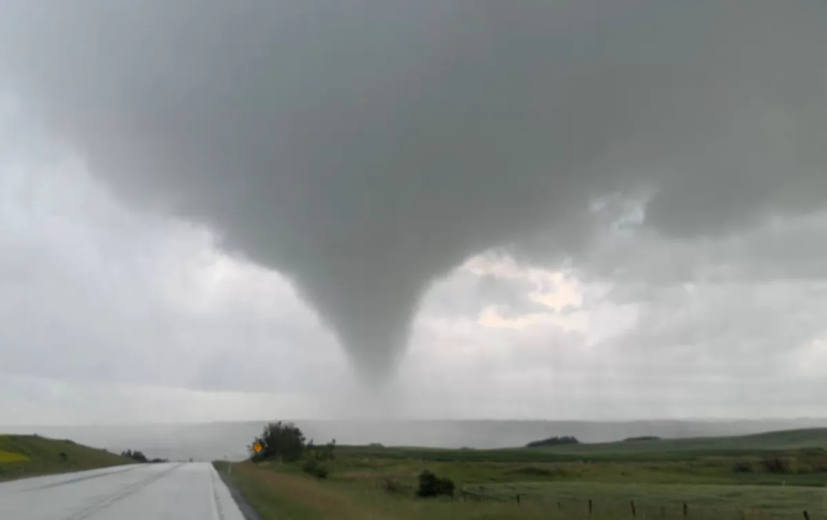
Tornadoes tore up the landscape from the oil sands of Alberta to the rocky coasts of Prince Edward Island as North America endured a relentlessly busy storm season this year. Canada and the U. S. are both on track to far exceed their annual average number of twisters, and the data reveals some surprising trends across the continent. DON’T MISS: Tornadoes are still possible across Canada through SeptemberCanada crosses 100 tornadoes so far in 2026Experts with Western University's Northern Tornadoes Project (NTP) have confirmed at least 110 tornadoes throughout the country so far this year. This year’s strongest tornado struck North Portal, Sask., with estimated winds of 245 km/h and EF-3 damage. Fewer than one per cent of all tornadoes confirmed by the NTP since 2017 were rated EF-3 or stronger. Alberta (30) and Saskatchewan (36) have accounted for more than half of Canada’s total twister count so far this year. Manitoba has seen 15 tornadoes so far this year, including two that struck neighbourhoods in southern Winnipeg.

The Weather Network·
Weather

Sunday severe weather risk bubbles up in southern Quebec

Folks across southern Quebec will contend with a risk of severe storms on Sunday as a cold front slices through an unstable air mass. Visit our Complete Guide to Fall 2026 for an in depth look at the Fall Forecast, tips to plan for it and much more! The main hazards will be strong wind gusts and locally heavy rainfall. Be sure to stay alert to the changing conditions, and check for any weather warnings in your area. Severe storm risk on SundaySpotty thunderstorms are expected to develop along the cold front from Kingston, Ont., to Saguenay, Que., just after midday. The cold front will produce scattered thunderstorm activity across the region through the afternoon and evening as it advances east. A broken line of storms may organize along the front, expected to produce heavy rainfall and strong wind gusts. Content continues belowStorm coverage is expected to be highest along the borders of New York and Vermont. Thunderstorm coverage and intensity will weaken after the dinner hour, but showers are expected to continue overnight. Primary concerns with any severe storm development are locally heavy rainfall and strong wind gusts.

The Weather Network·
Weather

From first frost to scorching temperatures as New England feels fall while dozens of states bake

From frost-covered mountains in New England to triple-digit heat in the Southern Plains, the U. S. will experience a dramatic temperature tug-of-war this week as fall arrives in the Northeast while summer refuses to let go elsewhere. A sharp change in temperatures will spread across the Northeast early Tuesday, with some areas experiencing their first widespread frost and freeze conditions of the season. WHAT’S THE DIFFERENCE BETWEEN FROST, A FREEZE AND A HARD FREEZE? A strong cold front will push off the East Coast Monday night, followed by a cold Canadian air mass. Clearing skies, dry air and lighter winds will allow temperatures to drop quickly overnight, the FOX Forecast Center said. Forecast lows in New England on Tuesday.(FOX Weather) The coldest conditions will develop in higher elevations, including New York’s Adirondacks, Vermont’s Green Mountains, New Hampshire’s White Mountains and far northern Maine. Temperatures there could fall into the lower 30s, leading to localized freezes. LEAF-PEEPING SEASON IS ALMOST HERE.

Fox Weather·
Weather

Super El Niños can accelerate global sea level rise: study

The world’s oceans may rise faster than normal over the next couple of months. A recent study found that very strong El Niño events, sometimes dubbed Super El Niños, cause accelerated sea level rise as these anomalously warm waters peak in temperature. The exceptional El Niño event developing in the Pacific Ocean to end 2026 will almost certainly follow the lead of these significant events from recent years. DON'T MISS: The last strong El Niño quadrupled this region’s sea level rise: studyBalmy water temperatures around the equator in the Pacific Ocean are running 3-6°C warmer than normal for this time of year, indicative of a strong and growing El Niño throughout the region. Experts predict that this El Niño will likely achieve a historic peak this winter, growing stronger than any previous event on record since the 1950s. El Niño and its cold-water opposite La Niña have a significant impact on global weather patterns. But their influence also extends to the world’s oceans. Content continues belowA recent study by researchers with China’s Sun Yat‐sen University found that global mean sea level rise accelerated during two recent El Niños, one in 2014-16 and the other in 2023-24.

The Weather Network·
Weather

Flooding rain and thunderstorms drench major East Coast cities causing travel chaos

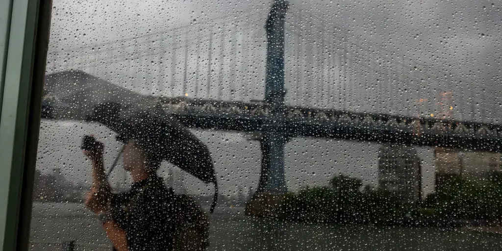
Bus driver plows through significant flash flooding in Connecticut TURN AROUND, DON'T DROWN ‼️: Heavy rain and storms have made for an eventful weekend in the Northeast, as some cities are faced with flash flooding. Video from Westport, Connecticut, on Sunday morning shows two buses driving through at least a foot of water and another car stalled up to its headlights in flooding. THE TAKEAWAYWeekend plans are at risk for millions as rounds of rain and thunderstorms target the East Coast. A Flood Watch is in effect for New York City, Philadelphia and Providence. Up to an inch of rain could soak many areas across the East, with over 1 to 2 inches possible in localized areas. Flooding rain impacted millions of Americans from  Washington, D. C. to Boston, causing travel chaos and waterlogged roads throughout the Northeast on Sunday.

Fox Weather·
Weather

Bryan Norcross: A lemon to watch in the Atlantic and good news in the Pacific

El Niño keeps the Pacific basin active this hurricane season Tropical Storm Norbert remains active in the Pacific as the basin’s 16th named storm of the season. The season has already produced three major hurricanes, with El Niño helping fuel tropical activity and potentially reaching historic strength later this year. Last updated at 10 a.m. on Sunday, Sept. 13, 2026.100 YEARS AGO TODAYOn September 13, 1926, the Atlantic was alive with tropical activity. The newspapers were focused on the Category 4 hurricane southwest of Bermuda. Based on the direction it was moving, the thinking was that it might impact the East Coast of the United States – maybe Charleston, South Carolina. It was strolling along, and then as now, slow-moving storms are harder to forecast. In the end, it curled north. GET THE LATEST FROM HURRICANE SPECIALIST BRYAN NORCROSSThe tropical depression in the Caribbean was also mentioned in the news coverage. It was clearly heading in the general direction of Florida and the Bahamas, although Cuba was in between. The depression was described as a disturbance attended by light winds, but every Florida newspaper mentioned it because it was relatively close.

Fox Weather·
Weather

Search underway for about 130 people after Indonesian ferry overturns

In this aerial image taken from video released by Indonesia's National Search and Rescue Agency (BASARNAS), the bottom of passenger ferry Virgo Transport 8 is seen above the water after it overturned in bad weather in the Java Sea, Sunday, Sept. 13, 2026.(BASARNAS via AP)BANJARMASIN, Indonesia (AP) — The search is continuing for at least 129 people missing after a ferry overturned in bad weather in Indonesia 's Java Sea on Sunday. At least 108 people were rescued and the bodies of six passengers were recovered as the search operation expanded around the vessel’s last known position.(MORE: Trans-Atlantic flights will be rerouted to avoid creating contrails)The ferry, with more than 240 people on board, was traveling from Surabaya in East Java to Banjarmasin in South Kalimantan province, on Borneo Island, officials said. The captain had reported rough seas with waves up to 10 feet before issuing a distress call, saying the ship was listing, said I Putu Sudayana, who heads the Banjarmasin Search and Rescue Office. Authorities later received information indicating the vessel had overturned.

The Weather Channel·
Weather

Summer refuses to quit as record heat scorches millions across Central and Southern US

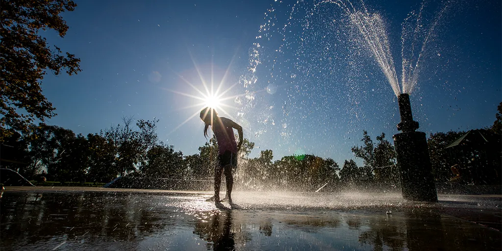
THE TAKEAWAY Record heat across the Central U. S. will continue through the weekend. Millions of people will see above average temperatures through Sunday. There is no immediate sign of a cooldown in the next week. The extreme heat that's been plaguing the Central U. S. from Dallas to St. Louis has continued through the weekend, locking in conditions reminiscent of mid-summer for millions of people. This follows the warmest summer on record across the Lower 48, according to NOAA. DOWNPOURS TO SOAK GULF COAST THIS WEEK, BRINGING FLASH FLOOD THREAT TO DROUGHT-RIDDEN SOUTHTemperatures through Sunday are forecast to be above average for more than 200 million people. AUG 08, 2026 -  Heatwave: fallen leaves and parched grass (atthew Chattle/Future Publishing  / Getty Images)The most extreme heat will concentrate across the Southern Plains and other parts of the South through the weekend as a ridge of high pressure reintensifies. PACIFIC TROPICS ROAR AS ATLANTIC APPROACHES HISTORIC MILESTONE WITH NO HURRICANES AMID BREWING ‘SUPER EL NIÑO’Temperatures across much of Texas will remain close to triple digits through Sunday.

Fox Weather·
Weather

Tropical Storm Norbert churns in the Pacific, could strengthen over warmer water while tracking near Hawaii

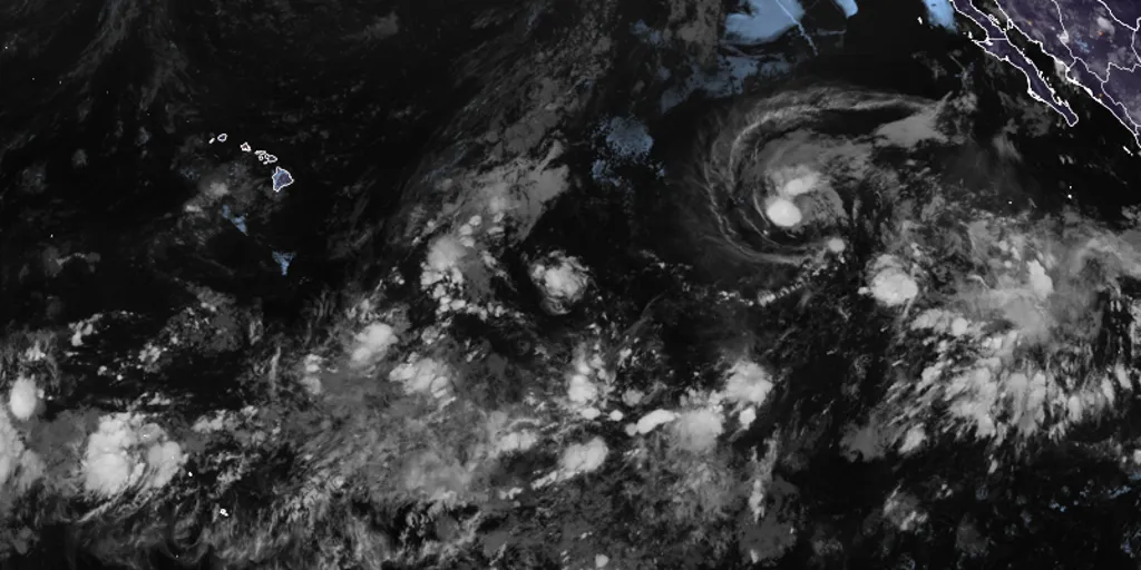
El Niño keeps the Pacific basin active this hurricane season Tropical Storm Norbert remains active in the Pacific as the basin’s 16th named storm of the season. The season has already produced three major hurricanes, with El Niño helping fuel tropical activity and potentially reaching historic strength later this year. THE TAKEAWAYTropical Storm Norbert will likely maintain its current strength and is no longer forecast to become a hurricane. Norbert is tracking farther south, but low to mid-level marginal moisture content and southerly vertical shear are suppressing the storm's chance of strengthening. Hawaii, which generally doesn't see much tropical activity, has been impacted by three tropical systems this season, including destructive Hurricane Lowell. Tropical Storm Norbert is maintaining its status in the Pacific as the 16th named storm in the basin this season, which has already produced three major hurricanes (Category 3+). The Pacific has been supercharged by an El Niño that could reach historic strength later this year.

Fox Weather·
Weather

Here's how El Niño could try to short-circuit the AI boom

Mineral rare earth element and CPU on green electronic circuit board background.(Getty Images)El Niño could do more than mess with your weather forecast. It could eventually mess with the price and availability of the electronics and technology you use every day. The reason lies far from the phone in your hand or the laptop screen in front of your face. It starts in mines that produce the raw materials needed to make those devices. According to Chloe Demrovsky of the NYU Center for Global Affairs, that includes rare-earth minerals and copper, much of which is mined in countries that depend on hydropower. And that creates a surprisingly big weather vulnerability, especially during a potentially historic El Niño. "So (hydro-dams) are shut down due to either drought or extreme rainfall, because it could be one or the other, and that interrupts the mining operations," Demrovsky said.(MORE: El Niño could hit your bank account and grocery cart)Get More of Our News on GoogleSet The Weather Company as a 'Preferred Source' to get quicker access to the news you value. That means a weather pattern thousands of miles away could potentially ripple through the electronics supply chain.

The Weather Channel·