Fall cooldown to grip the Prairies this weekend, alpine snow included
This story deserves to be shared
Send it to someone who'd care, or post it on your networks.
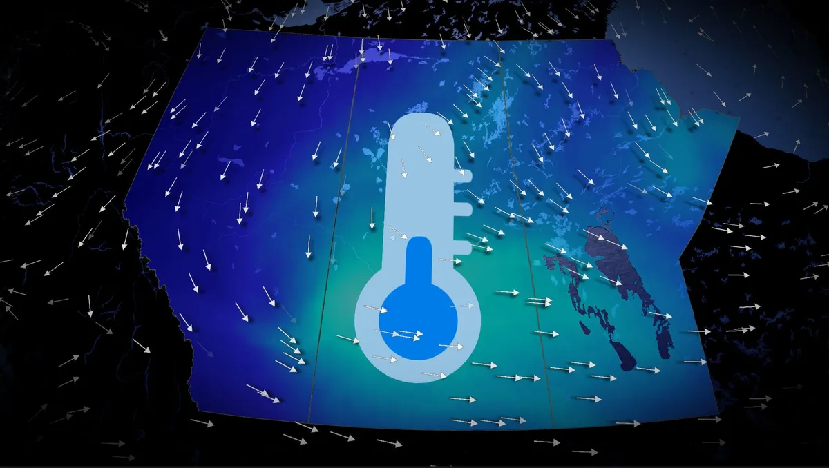
A significant temperature drop is set to affect the Prairies starting Friday, with cooler conditions spreading from Alberta into Saskatchewan and Manitoba through the weekend. Visit our Complete Guide to Fall 2026 for an in depth look at the Fall Forecast, tips to plan for it and much more! Alberta will experience single-digit morning lows on both Saturday and Sunday, with Calgary potentially dropping to near 4°C—the coldest morning low since May 9 (3.7°C). Daytime highs across the region may struggle to reach double digits, sitting 5–10°C below the seasonal average for early to mid-September. Regina is expected to see a high of just 13°C on Saturday, the city's coldest day since May 15, which recorded 10.5°C. In the Rockies and Coastal Mountains, freezing levels will plunge to near 2,000 m, dropping as low as 1,600 m around Jasper. This will allow precipitation to fall as snow in alpine areas, with noticeable snowcaps expected by the weekend. RELATED: Some of Canada’s first frost advisories of the season issuedThe cooldown comes as an upper-level trough deepens, ushering in northerly winds and pulling in a chilly air mass from northern Canada.
This article is an excerpt. To read the full content, visit the original source. The Weather Network
Related articles
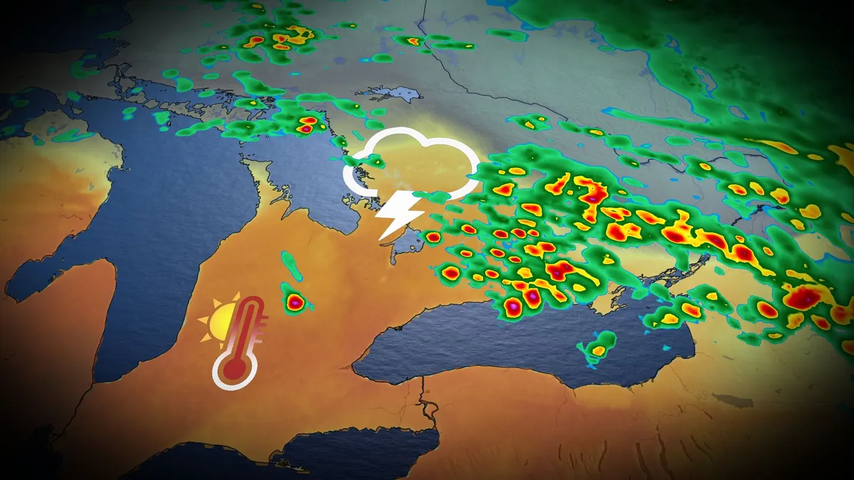
Fall heat, storm risk preludes major cooldown in Ontario
The remarkable heat and humidity will likely be a parting gift from the summer season in southern Ontario this week. Thanksgiving across southern Ontario was notable for its mild temperatures. Toronto reached a high of 22 degrees Celsius, while Windsor reached 26 degrees with a humidex of 31! But don't get used to the warmth; the summer-like conditions and a risk of thunderstorms, perhaps for the final time this year, are expected to continue Tuesday before a sharp cooldown settles in. DON'T MISS: Canada's Winter Sneak Peek: El Niño puts record warmth in playBe sure to stay alert to the changing conditions, and check for any weather warnings in your area. Temperatures to soar early this week, with thunderstorm riskMonday was nice, but it will feel even warmer on Tuesday as moisture from the remnants of post-tropical storm Rachel will sweep across southern Ontario, bringing about three times the atmospheric moisture than we'd typically see this time of year. With the intense humidex, temperatures will feel more like the low- to mid-30s across much of the region, including the Greater Toronto Area (GTA) and London corridor.
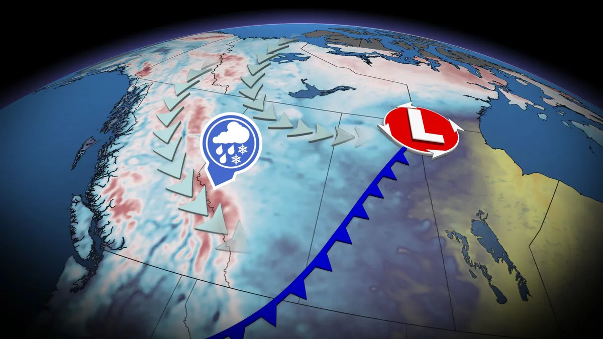
Thunderstorm threat pops up in B.C., Alberta before cooldown with alpine snow
A significant cooldown is set to arrive this weekend across B. C. and Alberta, with high-elevation snow, but before that happens, there will be a chance of thunderstorms for both provinces. Widespread and much-needed rainfall totals of 20-40+mm are likely for parts of B. C., including the Lower Mainland. The rain will come with a non-severe thunderstorm risk on Friday, stretching into parts of Alberta, too. Visit our Complete Guide to Fall 2026 for an in depth look at the Fall Forecast, tips to plan for it and much more! By Saturday, temperatures across B. C. and Alberta will drop noticeably, with the cooldown also leading to high-elevation snow in parts of both provinces. Thunderstorm threat before cooldown arrives in B. C., AlbertaAfter a seasonably warm stretch of sun and temperatures in the mid-20s, change is coming to B. C. and Alberta. A strong low and cold front will develop stateside, tracking northwards over the Rockies and onto the Prairies through Friday. Widespread rainfall is expected, along with a non-severe storm chance, on Friday.
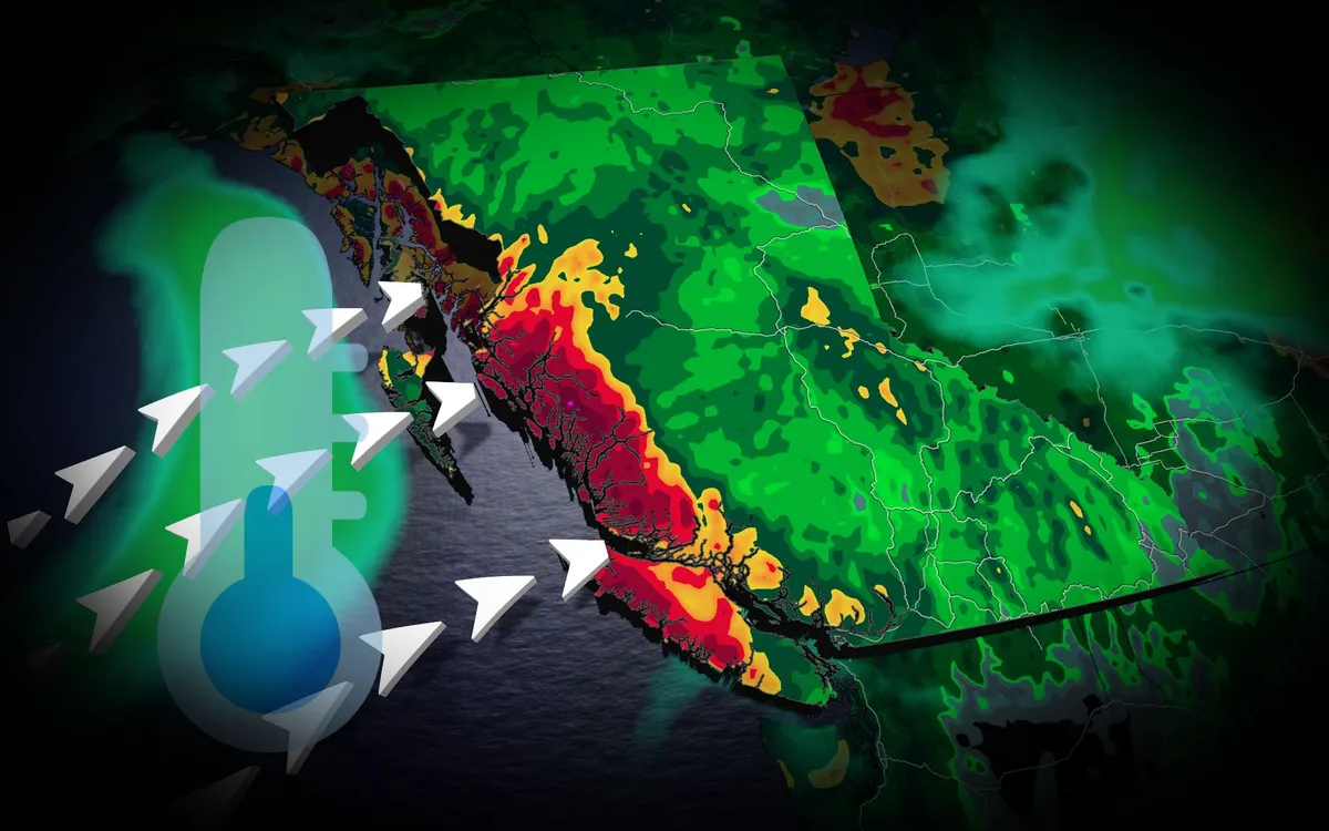
Tropical rains, fall cooldown makes its way to B.C.
A typhoon set to make landfall in China will have impacts all the way in British Columbia. Typhoon Saudel has already pounded Japan's southwestern islands, dumping 230 mm of rain in 24 hours and cancelling over 150 flights at Okinawa Naha Airport. The storm made landfall in mainland China early Friday morning local time. TROPICAL STORMS: The Weather Network’s Hurricane and Tropical Storm HubSaudel’s moisture heads eastAlthough Saudel will weaken over China, its moisture will spread eastward across the Pacific. A low-pressure system over the Bering Sea will pull moisture into Alaska, while high pressure off the B. C. coast directs an atmospheric river toward the North Coast. The North Coast mountains could receive 50 to 75 mm of rain through Saturday, providing welcome relief after a drier-than-normal previous 30 days. Content continues belowREAD MORE: Krakatoa’s eruption created the loudest sound in human historyCooler weather aheadA cold front will drop temperatures below 20 C across the southern Interior. Kamloops could reach 17 C,, potentially making it the city's coldest day since May 15.
Where’s the frost? Southern U.S. hits freezing before Toronto, Montreal
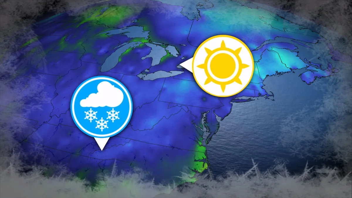
Toronto and Montreal have remained above the freezing mark every day for almost six months. While frosts and even some snowflakes have intruded across parts of Ontario and Quebec in recent weeks, the two cities have yet to reach that magic number. What’s even more remarkable is that a handful of communities across the southern United States have already dipped to the freezing point--and some have even seen accumulating snowfall. DON’T MISS: Official: Canada records first -30°C reading of the seasonThe last time we saw a freezing temperature in either Toronto or Montreal was the second-to-last week of April. Toronto hit -1.3°C early on April 20, while Montreal dipped to -2.0°C the following morning. Our average first frost in both cities occurs right around the middle of October. But warmer-than-normal years can see this milestone slide several weeks past due. Montreal once had to wait 207 consecutive days for its first frost, with the city’s first subfreezing temperature in 2017 waiting until Nov. 7. The latest Toronto’s had to wait to hit the zero-degree mark was Nov. 13, 2022.
345 km/h: Meet the world’s strongest tropical cyclones
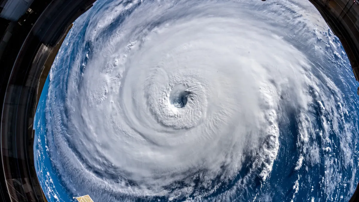
Tropical cyclones top the list of nature’s most powerful storms. Larger than tornadoes and more intense than any single thunderstorm, these systems can change the landscape when they swirl ashore. A handful of tropical cyclones take full advantage of their surroundings to achieve the apex of their potential, the strongest storms nature can produce. DON’T MISS: What’s the difference between hurricanes, typhoons, and cyclones? Tiny fraction of storms achieve upper limitsOnly about 4 per cent of all the world’s recorded tropical cyclones have reached the equivalent of Category 5 strength. Most tropical cyclones are relatively weak and short lived because it’s tough for all the necessary ingredients to align just right. But explosive development can result when all those factors come together in perfect harmony. Strongest Winds: Hurricane PatriciaAn exceptionally favourable setup off the western shores of Mexico in late-Oct. 2015 allowed Hurricane Patricia to grow into the world’s strongest hurricane since reliable observations began in 1966.
0 comments
No comments yet. Be the first to share your thoughts!