BBlogFlow

Categories

Weather

4049 articles

Weather

Polo's remnants brought record rain to Plains, Southwest

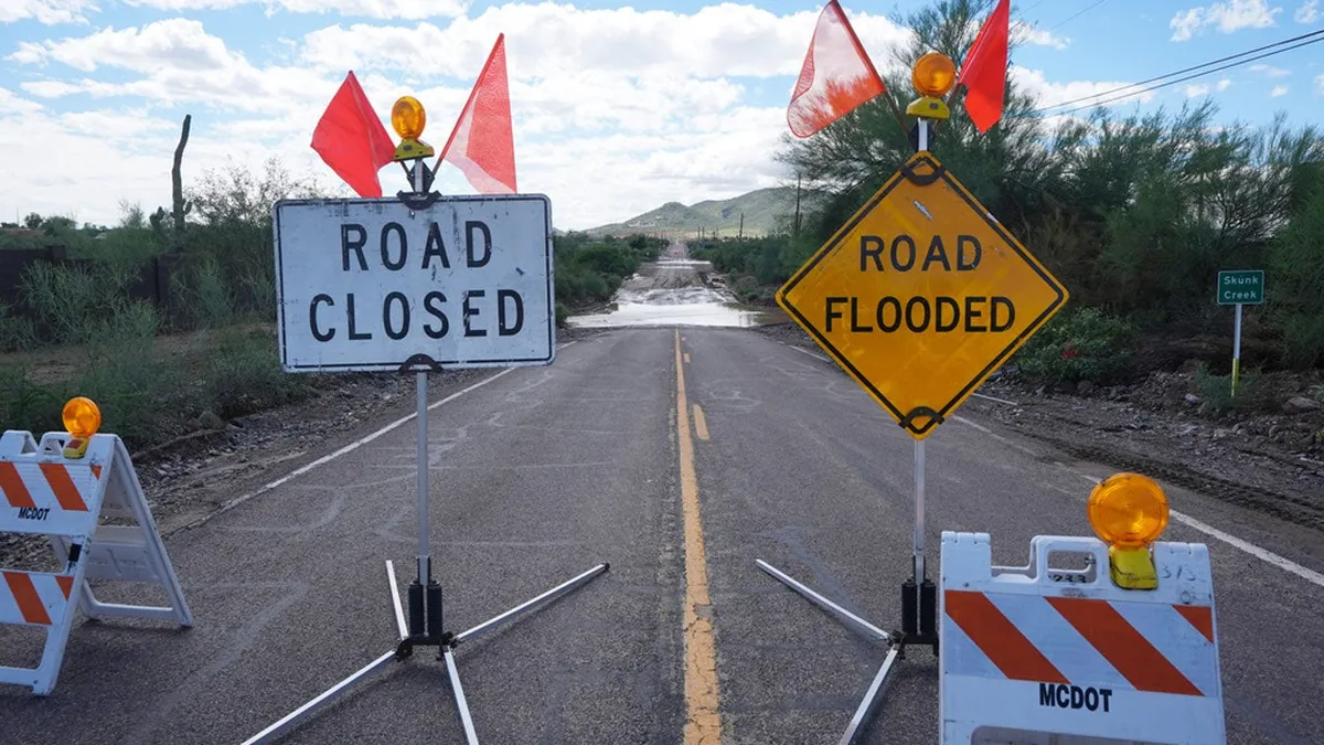
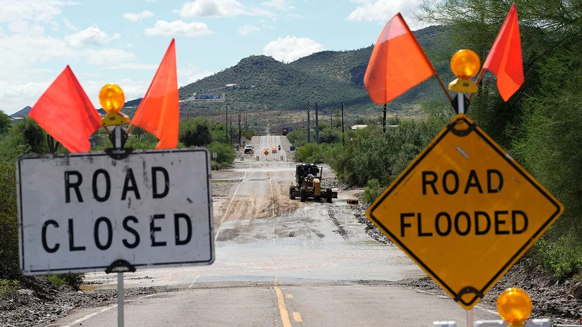
Fort Worth firefighter lifts woman to safety as floods swamp TexasFlooding rain soaked parts of the Southwest and Plains from Arizona, New Mexico and Texas to Nebraska as record late September tropical moisture partially from the remnant of former Hurricane Polo flowed northward into the nation's heartland. TimelineThis multi-day flood event ramped up on Monday, Sept. 28 in the Desert Southwest as deeper moisture from the tropics arrived. It then was boosted from the remnant spin and moisture from what was Hurricane Polo the following day, then gradually spread into the Plains over the next several days, lasting into Friday, Oct. 2. Southwest impactsIn the Southwest, typically dry arroyos and washes were flooded and sections of roads were swamped, trapping vehicles. Flooding swamped Casino Drive and the Laughlin River Walk beneath the Edgewater Casino in Laughlin, Nevada. One vehicle was also stuck in mud in the city about 75 miles south-southeast of Las Vegas. A box truck was swept away by floodwaters north of Phoenix. The driver was able to make it out safely.

The Weather Channel·
Weather

Keep your guard up as Atlantic hurricane season sets a new record

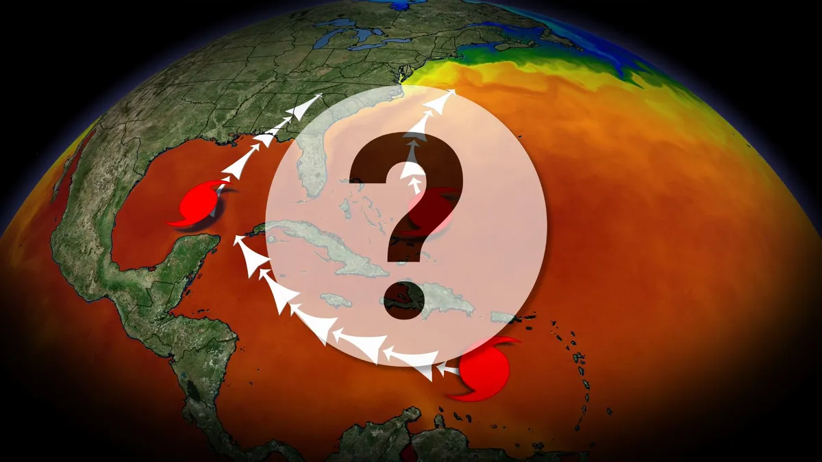
The Atlantic just made it through its first hurricane-free September in more than 30 years. Will we make it to the end of the year without any hurricanes at all? While there are no immediate signs of development on the horizon, recent history holds an ominous roster of destructive late-season storms. Coastal residents should remain alert as hurricane season continues through Nov. 30. DON’T MISS: Destructive Atlantic hurricanes can still happen during El NiñoFirst hurricane-free September in decadesThis year is the first time since 1994 that the Atlantic basin made it through the month of September without any hurricanes, a remarkable occurrence given that the season peaks during the second week of the month. In fact, we haven’t seen any hurricanes at all this season. This is by far the longest wait for the first hurricane since the satellite era began in 1966, breaking the old record by three weeks and counting. An average hurricane season produces 14 named storms, 7 hurricanes, and 3 major hurricanes. So far this year, we’ve seen 8 named storms, most of which remained weak and short-lived. The Atlantic has produced an Accumulated Cyclone Energy (ACE) of just 10.8 as of Oct. 1.

The Weather Network·
Weather

40 car pileup cripples commute in South Carolina with dense fog reported in the area

Officials have not said whether fog directly contributed to the crash, but the FOX Forecast Center reports evidence of foggy conditions in the area. LAKE MARION, S. C. – Officials are assessing the damage after a massive pileup on Interstate 95, near Lake Marion, South Carolina, occurred after numerous cars crashed due to foggy weather conditions. The pileup caused massive delays for hundreds of drivers in the area. Officials have not said whether fog directly contributed to the crash, but the FOX Forecast Center reports evidence of dense fog in the area that could have reduced visibility and may have contributed to the crash. Crews work to clear mangled vehicles after a large pileup along a highway in South Carolina. As many as 40 vehicles are involved in the pileup, with no injuries or fatalities reported so far, according to the Santee Fire District Service. The area will continue to see patchy fog conditions through Friday evening, according to the National Weather Service. RESPONDERS RESCUE DRIVER STRANDED ON TOP OF SUBMERGED CAR AS STRONG FLOODWATERS FLOW THROUGH ARIZONA next

Fox Weather·
Weather

Dense fog triggers massive pileup on South Carolina interstate

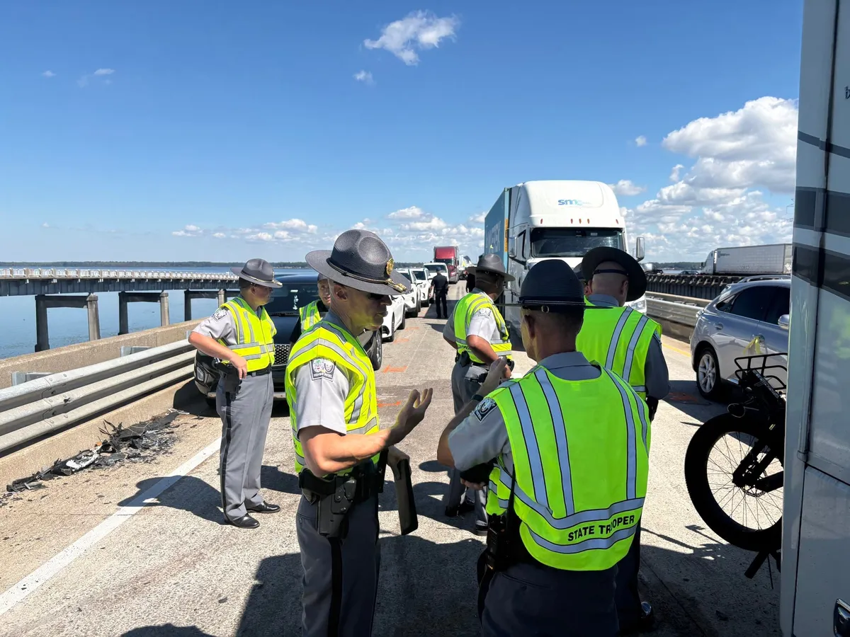
South Carolina Highway Patrol troopers discuss plans for clearing an I-95 bridge after a 40-vehicle pileup.(Photo courtesy of SCHP Trooper Nick Pye)A massive pileup is causing major traffic issues for travelers on Interstate 95 in South Carolina. The collision occurred Thursday morning when dense fog was causing low visibility. "Fog over Lake Marion formed near first light Thursday morning, then mixed out by around 10 a.m.," said Jonathan Belles, senior digital meteorologist for The Weather Company. "Visibility dropped below a quarter of a mile at times. "The pileup has prompted a long closure of the southbound lanes of I-95 on the bridge over Lake Marion, located about an hour east of Columbia. Local news media outlets have reported estimates between 40 and 65 vehicles were involved. One reported that four people were trapped in their vehicles, and about 11 people were taken to the hospital with minor injuries. Officials warned it would take “an extended period of time” to clear the bridge. Get More of Our News on GoogleSet The Weather Company as a 'Preferred Source' to get quicker access to the news you value.

The Weather Channel·
Weather

Hurricane Polo remnants to end southern Ontario's dry streak

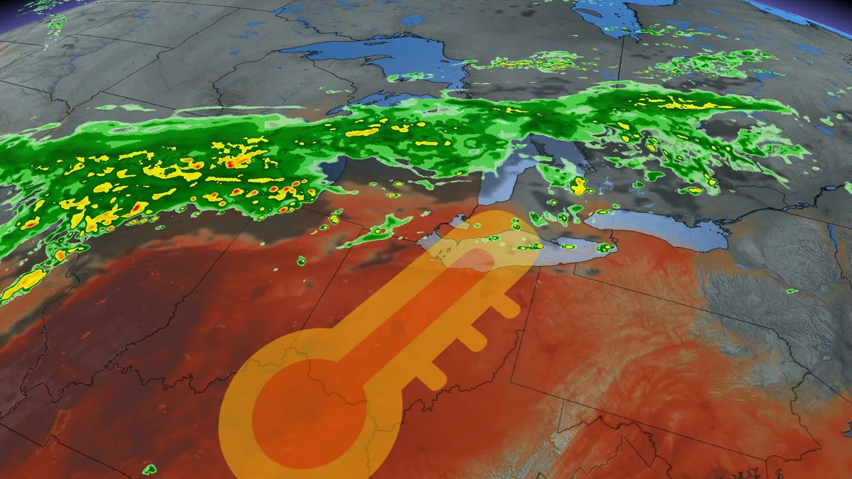
The remnants of Hurricane Polo, which made landfall as a Category 2 hurricane on the Baja California Peninsula Monday night, are set to bring significant rainfall to parts of southern Ontario. This moisture will travel 3,000 km to reach the Great Lakes region. DON'T MISS: Polo cements status as Pacific’s second-most intense hurricaneThe storm's tropical moisture is merging with a low-pressure system and pulling additional moisture from the Gulf of Mexico. Rainfall in southern Ontario is expected to begin Thursday morning and continue into Friday, with the most intense precipitation expected Friday morning along the 401 corridor. This weather system could provide some relief to the region, which has experienced one of the longest dry stretches of 2026. Flood watches also remain in effect across parts of the U. S. desert states where Polo’s moisture threatens heavy rainfall and flooding. Up to a month's worth of rain is expected in some areas, with 50-100 mm possible due to training thunderstorms driven by tropical moisture.

The Weather Network·
Weather

Super El Niño Midwest winter will be mild, but there's more

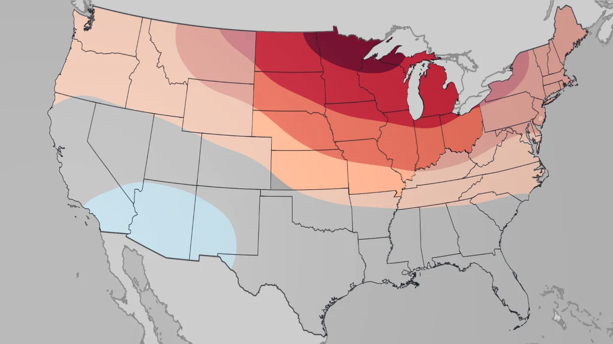
How will El Niño impact how your winter feels? Winter in the Midwest is expected to be mild, largely due to a super El Niño. And those temperatures and precipitation could have impacts on snowfall and your heating bill in the coldest months. (MORE: Our complete coverage of El Niño)Here's the outlookThe Weather Company's temperature outlook from December through February shows the Midwest with temperatures most above average of any region in the country, especially from northern Minnesota to Upper Michigan. This is the December 2026 through February 2027 temperature outlook issued by The Weather Company on Sept. 21, 2026. The Midwest region is highlighted. We also expect the winter to skew a little drier than average from the Northern Plains to the western Great Lakes. This drier signal looks strongest in the Northern Plains in December and in the western Great Lakes and Upper Midwest in February, according to The Weather Company energy forecasting team. (MORE: Complete US Winter Outlook)Get More of Our News on GoogleSet The Weather Company as a 'Preferred Source' to get quicker access to the news you value.

The Weather Channel·
Weather

Record rain in Nebraska leaves streets across Lincoln, Omaha underwater

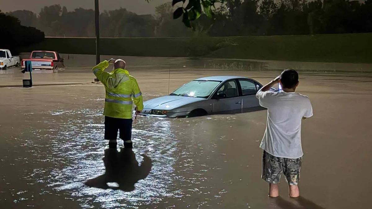
Watch: Semitrailer nearly hits driver as it jackknifes in Omaha rainRecord amounts of rainfall pounded eastern Nebraska overnight Wednesday, causing flash floods that trapped and swept away cars caught in the deluge. The National Weather Service in Omaha reported that Lincoln, Nebraska, saw over 6 inches of rainfall Wednesday. weather.com digital meteorologist Rob Shackelford said the city broke its all-time wettest single day record, which was previously 5.45 inches set on Aug. 29, 1910.(MORE: New Mexico flooding pushes dam to the brink, forcing evacuations)Water rescues overnightLocal reports said there were multiple rescues by boat overnight, and a Lincoln Fire and Rescue spokesperson told KLKN-TV that at least one person was trapped in their vehicle around 11:30 p.m. local time. Flash floods in Nebraska swept away cars and trapped drivers in Lincoln late Wednesday night into early Thursday, Oct.

The Weather Channel·
Weather

Watch your step: Tarantula season is underway at Grand Canyon National Park

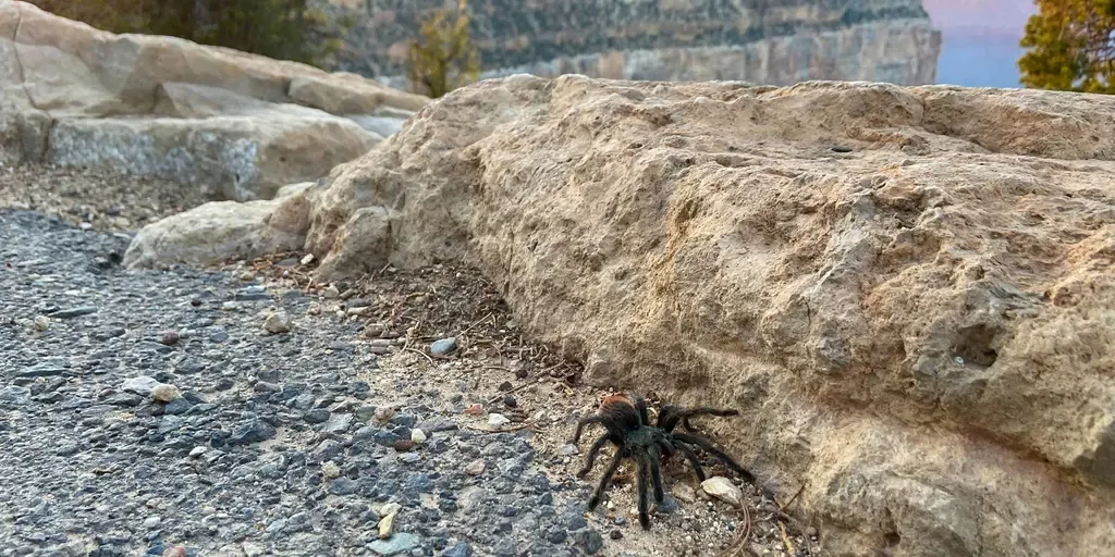
Grand Canyon black tarantulas emerge from their burrows each fall as males roam the national park in search of a mate. THE TAKEAWAYTarantula season is underway at Grand Canyon National Park. Male tarantulas emerge in the fall to search for mates. Visitors should admire the spiders from a safe distance. GRAND CANYON –As fall brings cooler temperatures to Grand Canyon National Park, it also sends one of the canyon’s most feared eight-legged residents out for a stroll: the tarantula. September and October mark tarantula season at the popular national park, when these spooky yet impressive spiders can be spotted crossing the landscape. The Grand Canyon black tarantula can grow up to 4 inches from leg tip to leg tip and is covered in thick, dark hair, with reddish-orange coloring on its abdomen. A black tarantula with a reddish-orange abdomen, walks along a paved path. (NPS Photo/B. Cherry / FOX Weather)These eight-legged residents can be found throughout Grand Canyon National Park, either strolling across roads or tucked inside underground burrows.

Fox Weather·
Weather

Bryan Norcross: October begins with a blank slate in the Atlantic but we'll watch the Gulf

Rachel expected to become next major hurricane in the Pacific Hurricane Rachel is now expected to become the latest major hurricane in the Pacific, according to the National Hurricane Center (NHC), as its moisture is pulled up behind the remnants of Polo to fuel a dangerous flood threat across much of the Central U. S. Rachel is currently a Category 2 storm, with maximum sustained winds of 100 mph, about 245 miles southwest of Cabo Corrientes, Mexico. Last updated at 9 a.m. on Oct. 1As of today, we made it through September without officially having a hurricane develop in the Atlantic, the Caribbean or the Gulf. "As of today" because at the end of the season, the National Hurricane Center will analyze all the data related to this season's storms, including data that came in after the fact. They'll determine if the wind speeds and track were correct in real time. LATEST FROM FOX WEATHER HURRICANE SPECIALIST BRYAN NORCROSS Atlantic Basin on Oct. 1, 2026. (FOX Weather)Sometimes additional or reanalyzed data shows stronger winds, and occasionally wind speeds are adjusted down.

Fox Weather·
Weather

What type of jacket to buy to keep yourself warm this winter

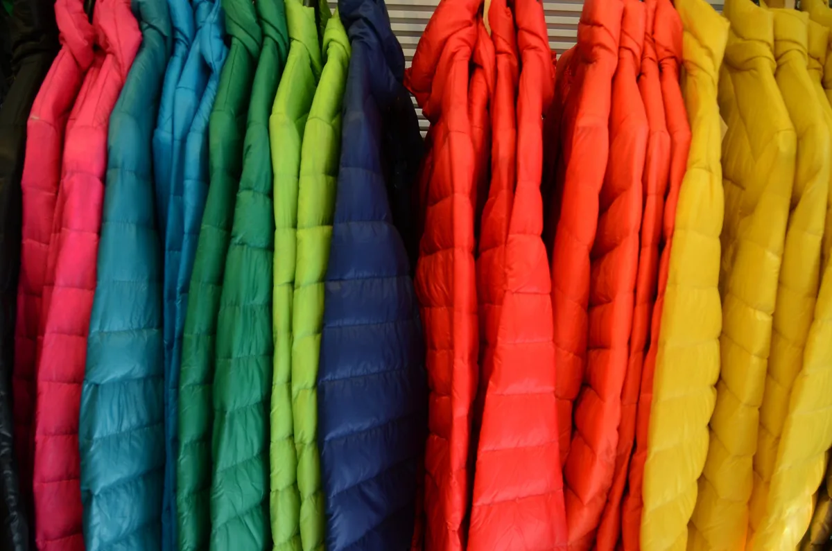
Winter jackets(Photograph by Magda Indigo via Getty Images)Most people judge a winter jacket by how thick or expensive it looks. But the truth is, staying warm has less to do with puffiness and more to do with a little bit of physics working in your favor. Every jacket has one main job: slowing down the ways your body loses heat. Let's break down the core features you should look for in the right jacket.(EL NIÑO'S WINTER IMPACTS: Could yours be wetter, warmer or drier?)1. It traps still air (so pick fluff over fabric)The warmth in a jacket doesn't come from the outer fabric — it comes from the fill trapping a layer of still air right next to your body. That's what down or synthetic insulation is designed to do: create tiny pockets of air that slow heat from escaping. This is also why a jacket loses warmth the moment it gets compressed or wet. Squish the fill down and there's no air left to trap. Soak it, and the same thing happens — the loft collapses and the heat escapes fast.

The Weather Channel·
Weather

You’ll need to survive more than wildlife in Alaska's winter

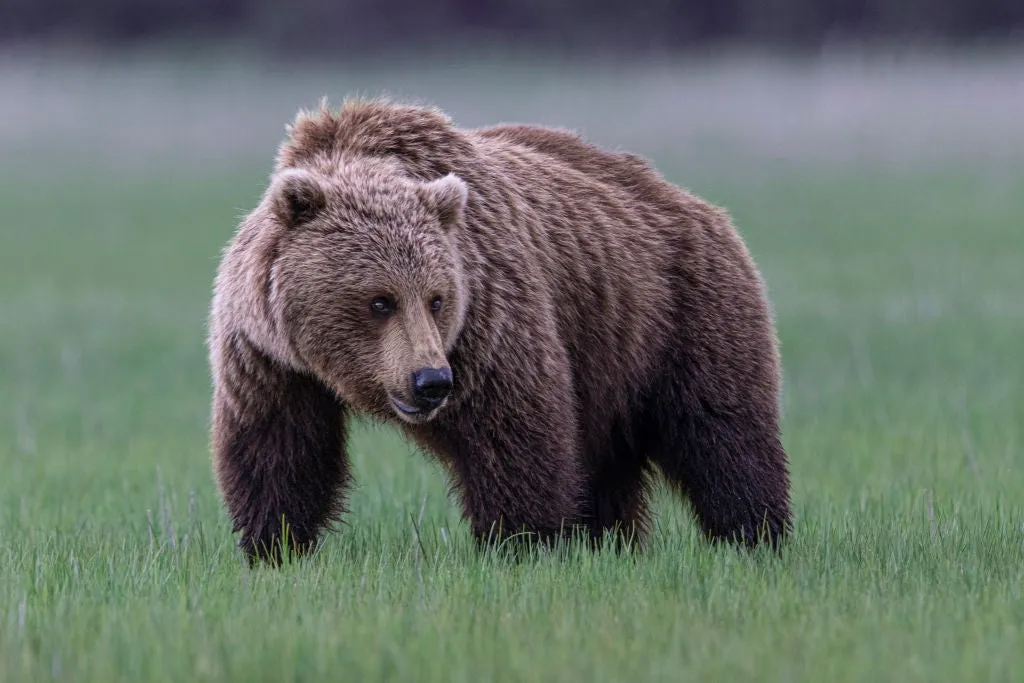
You’ll need to survive more than wildlife in an Alaskan winterAsk most people what's most likely to kill you in the Alaskan wilderness and they'll say something with teeth. And yes, bears can be deadly, but the real threat is the weather. Cold, wet conditions can cause hypothermia to settle in, and it kills more people in the Alaskan wilderness than wildlife. Grizzly bear in Lake Clark, Alaska.(Getty Images)Combination of cold and wet is deadlyHypothermia causes roughly 1,500 deaths a year in the U. S., and most of those deaths don't happen in brutal, subzero blizzards. They happen in conditions that seem far less intimidating: temperatures in the 30s and 40s, with rain, wet snow, or even when sweat soaks through clothing. Sanctuary River in Denali National Park, Alaska.(Getty Images)This is because water conducts heat away from your body roughly 25 times faster than air. So being wet at 40 degrees can be more dangerous than being dry at 0, because water strips heat off your skin and your body’s natural heat can’t keep up. Survival experts call this "wet cold," and it's much more deadly.

The Weather Channel·
Weather

El Niño’s winter impacts: What could your season be like?

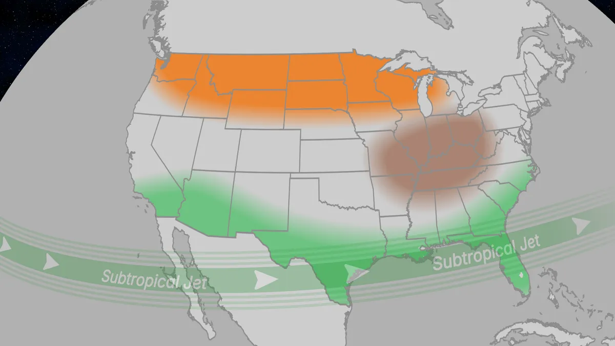
El Niño winter impacts: Will your area be warmer, drier or wetter? From temperatures to precipitation, El Niño can have a significant impact on what your winter will look like, and the pattern you see might surprise you. Could you see a snowier winter? Or be treated to one that is more warm or dry? We have the impacts simplified and broken out by region — here's what you need to know.(MORE: What is El Niño?)Impacts by regionNorthern Plains/Great Lakes: Much of the Northern Tier trends warmer than average during El Niño winters, which may be a bit of a treat for those who typically see the most brutally cold temperatures. It is worth noting, though, that just because the region is expected to see above average warmth, it doesn't mean it will actually be warm — so still have that thick winter coat handy. Ohio Valley: El Niño typically brings drier than average conditions to the region, so if you're looking for a winter season with less snow, this winter is for you. South: For the snow-lovers who feel deprived living in the South, this could be your year. El Niño typically brings wetter than average conditions from California to Florida.

The Weather Channel·
Weather

October Outlook: Canada’s fall transformation – what to expect across the country

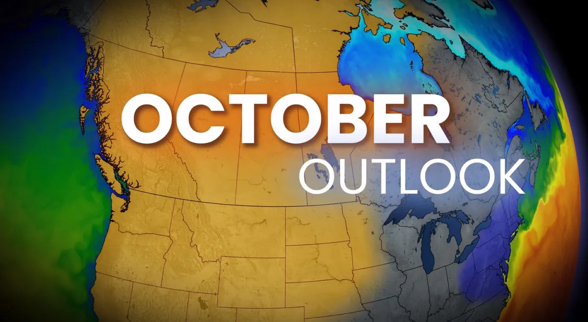
September let much of Canada hang onto summer-like weather. October will bring a very different flavour to parts of the country. October is Canada’s ultimate transition month. It can begin with lingering summer warmth and end with snow and hard freezes, making it one of the most dynamic months on the entire calendar. RELATED: Ready or not, October snows can and will fall across CanadaNo better example is the dramatic drop in normal daytime highs between October 1st and Halloween:This year, however, the transition looks lopsided. The East appears ready to finally embrace fall, while the West will work hard to actively repel it. Act 1: One last taste of late-summer warmth in Ontario and QuebecTemperatures on Oct. 1 will not be reflective of the month as a whole across Ontario and Quebec. They are leftovers of the September pattern. Content continues belowFor many locations, this could be the last widespread taste of mid-20s warmth until next spring. But the warmth isn’t disappearing from Canada. It’s just shifting west. Act 2: The flipDuring the first few days of October, the atmosphere begins to reconfigure, largely flipping the temperature pattern across Canada.

The Weather Network·
Weather

When to expect the first accumulating snowfall of the season

First Measurable Snow: When You Can Expect To See ItOctober marks the seasonal shift toward the first accumulating snow of the season in parts of the nation's northern tier and Mountain West, while many other areas typically wait until November or December. This year’s super El Niño could change that timeline in some parts of the country. How do meteorologists define the first accumulating snow? Snow totaling 0.1 inches or more is what qualifies as accumulating snow, also known as measurable snow. It can't just be flurries flying through the air, or snow that falls and immediately melts on contact with the ground. Average first snowfall The map below uses data from the National Weather Service to show the month when the average first accumulating snow falls, based on 30 years of data from 1991 to 2020. These are just averages. Any given season can produce its first snowfall either very early or very late, depending on the weather pattern. Most of the South isn’t included in the data shown on this map because most of the region doesn’t see accumulating snow every year. When it does, it usually happens in January and February.

The Weather Channel·
Weather

Fall's first freeze: Here's when it arrives in your area

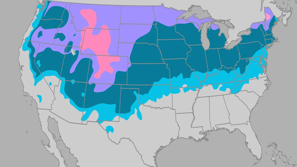
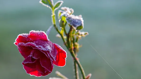
Your first freeze is coming: average dates across US by regionYour first fall freeze is coming, but when it arrives depends a lot on where you live. For most of us, it ranges from September through November. First freezeThis is when the temperature drops to 32 degrees or lower for the first time in the colder months of the year. It signals the end of the growing season — the threshold when unprotected plants can become damaged if temperatures remain at or below freezing for multiple hours. Most vegetation is destroyed when temperatures reach 28 degrees or colder, which is called a hard freeze, according to NOAA.(Winter outlook: El Niño could fuel Southern snow threat into early 2027)The map below shows the average date of the first fall freeze, using the latest 30-year data (1991-2020) from NOAA. Different weather patterns each year can make the first freeze occur earlier or later than the average shown for a given city or region. In fact, the earliest freeze on record for the selection of cities below occurred nearly a month or more before the average date.

The Weather Channel·
Weather

See it: Florida memorial bench swept away during Hurricane Helene found over 1,000 miles away in Bermuda

A Florida family thought their father’s memorial bench, swept away during Hurricane Helene, was lost forever — until they received a Facebook message from a woman in Bermuda. THE TAKEAWAYA memorial bench honoring a Florida woman’s late father was swept away during Hurricane Helene in 2024. Nearly two years later, the bench was discovered on a beach over 1,000 miles away. The family is trying to determine whether they can bring the bench back to Dunedin or leave it in Bermuda. TAMPA, Florida – A memorial bench dedicated to a Florida father was thought to be lost forever after Hurricane Helene battered Florida’s Gulf Coast in 2024 — until it resurfaced on a beach in Bermuda nearly two years later. Amanda Sadiku’s father, Medhat "Mike" Sadiku, passed away September 3, 2012, and in 2018, a memorial bench dedicated to her late father was installed on the Dunedin Causeway on the waterfront of Florida's Gulf Coast.  A memorial bench swept away from Florida’s Gulf Coast during Hurricane Helene has resurfaced on a Bermuda beach nearly two years later.

Fox Weather·
Weather

New Mexico flooding pushes dam to the brink, forcing evacuations

Watch drivers fight through dangerous New Mexico flash floodsHundreds of people from at least five communities in southern New Mexico were ordered to evacuate their homes as flash floods pushed the McLeod Dam to the brink of failure. People in Salem, Garfield, Hatch and Placitas were able to return to their homes late Tuesday night, but officials in Doña Ana County said Rincon remains evacuated. The National Weather Service issued an urgent warning for people to seek higher ground Tuesday afternoon, as operators of the dam reported its imminent failure and potentially life threatening flooding downstream. Stunning video showed the floodwaters overtopping the dam on Tuesday afternoon. (MORE: Flood threat expands into Texas)Local news reports showed washed out roads across Doña Ana County, and officials begged residents to avoid driving if possible. Get More of Our News on GoogleSet The Weather Company as a 'Preferred Source' to get quicker access to the news you value. Gavin Smith, a Garfield resident, told The Associated Press that he and others had initially left the area before returning to assess conditions.

The Weather Channel·
Weather

Could El Niño save you money? How your bills may be impacted

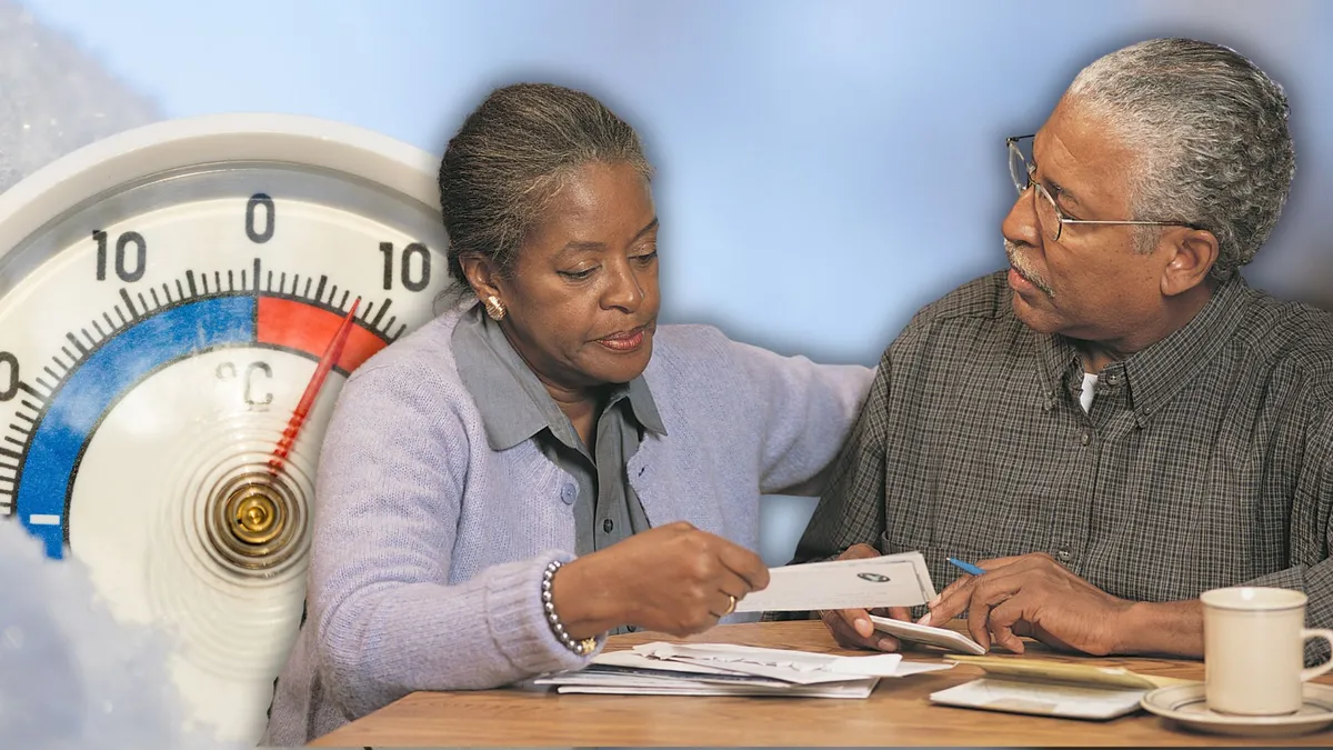
You're probably aware by now that we're expecting an El Niño to shape the next few seasons here in Canada, but you may still be wondering how this will impact your day-to-day life. So, let's explore some of the possibilities, starting with your utility bill. If you have a furnace heating your home, El Niño may actually bring some cost relief, as it tends to bring warmer-than-normal weather in the cooler months. We see this across much of the country with El Niños, but especially in Western Canada. In fact, during the 2015/2016 El Niño, winter on the Prairies was over five degrees above average. Officials in Saskatchewan estimated that the warm winter lowered heating bills by as much as $50. Even a super El Niño can't completely hold off our classic deep-freeze Canadian winters, though, so experts still recommend that you get your furnaces and HVAC systems inspected ahead of the colder months. RELATED: How to winterize your furnace with tips from a professional On the other hand, El Niño can also create more costs for those relying on hydro power.

The Weather Network·