When to expect the first accumulating snowfall of the season
This story deserves to be shared
Send it to someone who'd care, or post it on your networks.
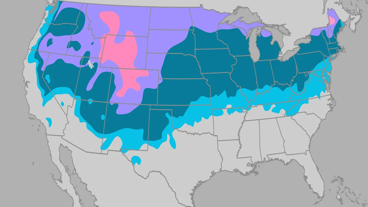
First Measurable Snow: When You Can Expect To See ItOctober marks the seasonal shift toward the first accumulating snow of the season in parts of the nation's northern tier and Mountain West, while many other areas typically wait until November or December. This year’s super El Niño could change that timeline in some parts of the country. How do meteorologists define the first accumulating snow? Snow totaling 0.1 inches or more is what qualifies as accumulating snow, also known as measurable snow. It can't just be flurries flying through the air, or snow that falls and immediately melts on contact with the ground. Average first snowfall The map below uses data from the National Weather Service to show the month when the average first accumulating snow falls, based on 30 years of data from 1991 to 2020. These are just averages. Any given season can produce its first snowfall either very early or very late, depending on the weather pattern. Most of the South isn’t included in the data shown on this map because most of the region doesn’t see accumulating snow every year. When it does, it usually happens in January and February.
This article is an excerpt. To read the full content, visit the original source. The Weather Channel
Related articles
When can you typically see peak fall foliage in your area?
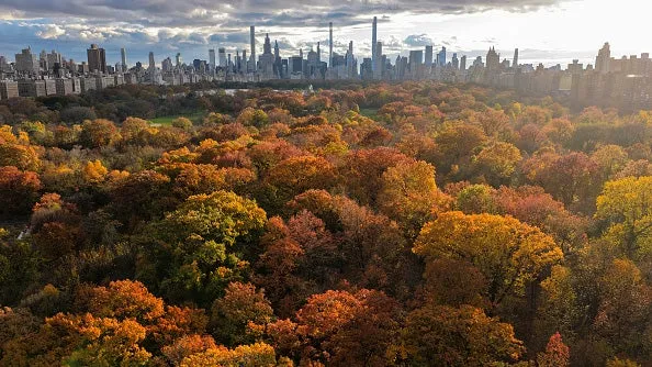
Region by region, when to expect peak fall foliageThe leaves shrugging on their fall attire is one of Mother Nature’s most brilliant shows each year. But when can you can typically see the dazzling display? That depends on where you live. Peak fall foliage depends on a variety of factors: cooler nights, shorter daylight hours and rainfall, just to name a few. Fall foliage along the banks of the Neponset River near Milton, Massachusetts on November 5, 2025.(David L. Ryan/The Boston Globe via Getty Images)As the leaves take their cue that summer is coming to an end, they start slowing down the production of chlorophyll, the green pigment in leaves, until it comes to a stop. This is when the fiery red and brilliant yellows are revealed. But this happens on a different timeline across the country. Here’s when it's usually time to pull out the camera near you:Typical timelineLate September or early October: The Rockies, the northern parts of Minnesota through Michigan and a strip from upstate New York to northern New England see peak color first.
Brewing nor’easter threatens East Coast with days of coastal flooding, strong winds and pounding surf
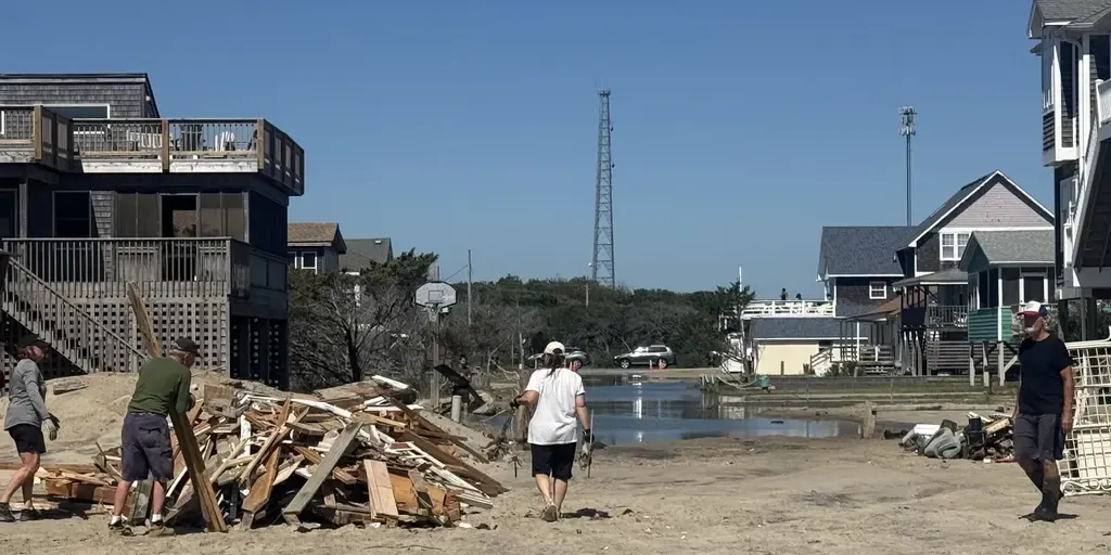
The next fall nor’easter is brewing off the North Carolina coast, setting the stage for extensive impacts throughout the week. The National Hurricane Center is now highlighting this area for potential tropical development, with a 30% chance over the next seven days. WHAT IS A NOR’EASTER? Regardless of tropical development, the Outer Banks are expected to see long-term impacts, including intense wind gusts from the approaching nor’easter, while the storm sits off the coast. The main concern for the Outer Banks region will be intense wind gusts as strong as 40 to 60 mph, fueling moderate coastal flooding and destructive waves. A mandatory evacuation for locals on Hatteras Island is in effect, as storm conditions are expected to worsen, with the potential for significant ocean overwash. This graphic shows the Wind Alerts for the upcoming Nor’easter.(FOX Weather) According to the FOX Forecast Center, the impacts will last through late Wednesday evening and into Thursday, totaling three days of nasty storms with ferocious wind gusts.
0 comments
No comments yet. Be the first to share your thoughts!