BBlogFlow

Categories

Weather

7635 articles

Weather

Large hail, 90+km/h winds: Parts of the Prairies face severe storm risk

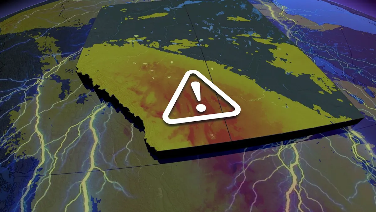
The weekend could end on a stormy note for parts of Alberta and Saskatchewan with a renewed risk for severe weather. A threat of thunderstorms will cover much of the two provinces, with a swath of severe potential stretching from north-central Alberta to southern Saskatchewan. The main hazards will be large hail, strong wind gusts up to 90 km/h and heavy rain. READ IT HERE: Alberta experiences a rare wildfire-free August after record-breaking rainfallPlease keep up with the latest watches and warnings in your area. Take immediate action if a warning is issued for your location. Sunday storm risk bubbles up in Alberta, SaskatchewanRidging south of the border has pulled away from the Rockies and is now shifting the heat onto the central Prairies. That transition is allowing the low that formed over B. C. on Saturday to move into Alberta, continuing to strengthen as it treks east. A developing front will be the needed trigger to spark any strong storms from Edmonton, Alta., to south-central Saskatchewan. Content continues belowThe main hazards will be large hail, strong wind gusts up to 90 km/h and heavy downpours.
The Weather Network·
Weather

What fuelled one of Vancouver’s most remarkable storms in years?

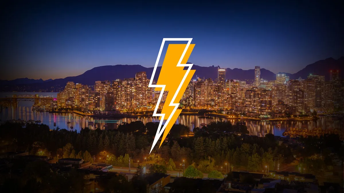
One of the South Coast’s greatest thunderstorm events this century unfolded across parts of the Lower Mainland and Vancouver Island late Saturday evening. Vancouver International Airport reported more than 40 mm of rain and thunderstorm activity for a whopping 5 hours and 39 minutes. Even more impressive is that intense lightning lasted for roughly three hours. This wasn’t a classic setup like we’d see on the Prairies or in southern Ontario. Rather, this stunning storm was the result of a rare coastal recipe of atmospheric ingredients. DON’T MISS: Tornadoes can happen anywhere, and cities aren't immuneA timeline of remarkable thunderstorm activityThunderstorms were already active across southern Vancouver Island around 9:00 p.m. local time. Convection expanded into the Strait of Georgia by 10:00 p.m., with lightning stretching from around Ladysmith toward Howe Sound and the Sea-to-Sky corridor. A small, weak low-pressure system appears to have become established near the central Strait and Metro Vancouver starting at 11:00 p.m. and lasting through 2:00 a.m., with convection continuing to regenerate around the centre of circulation.

The Weather Network·
Weather

75-100 mm: Flood risk with drenching rains in the Maritimes

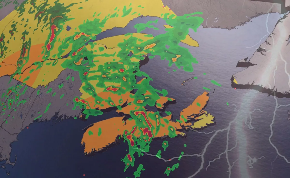
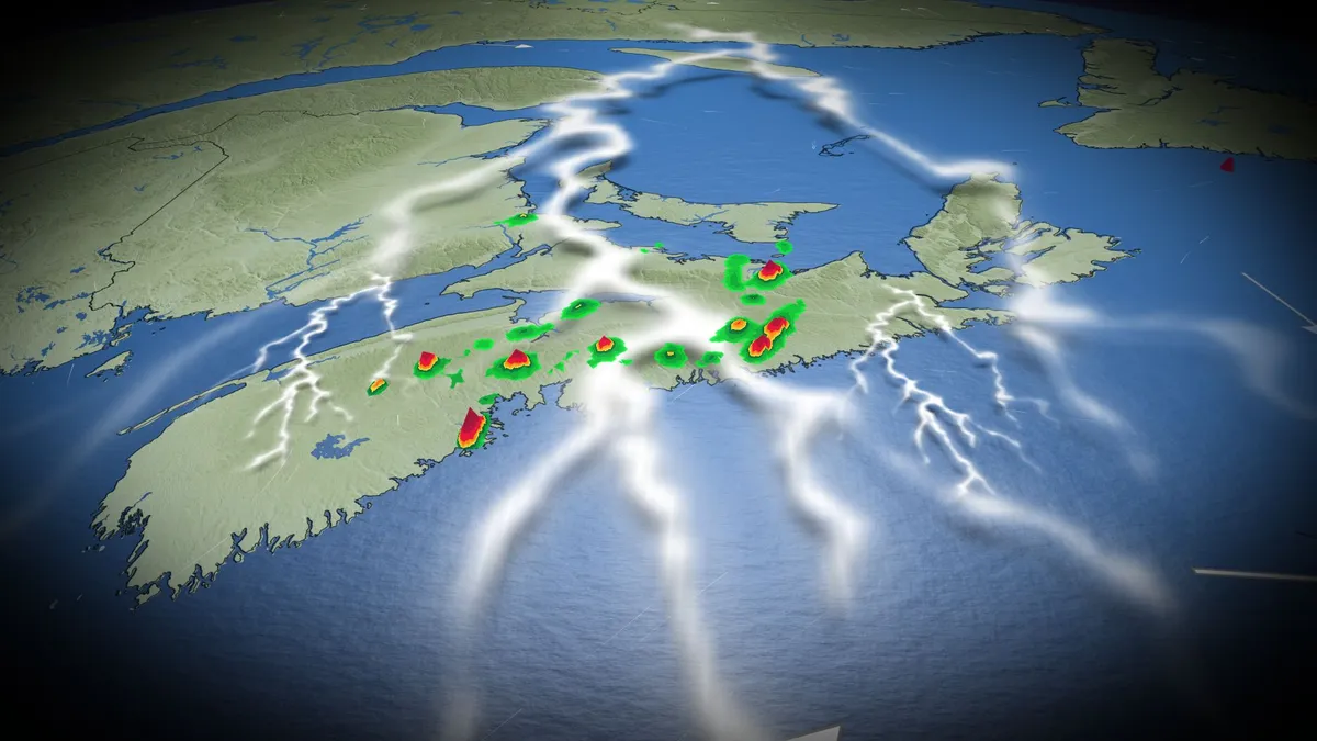
Grab your umbrella if you’ve got plans in the Maritimes on Sunday. Strong to severe thunderstorms may produce torrential downpours throughout the region during the day. Beware the threat for localized flooding beneath the heaviest storms. DON’T MISS: Trouble may lurk beyond hurricane season’s very quiet startA warm front lifting across the Maritimes will drag a rich reserve of atmospheric moisture over the region. Showers and thunderstorms will tap into this ample moisture to produce very heavy rainfall throughout the region. It has been drier than normal this month for all of Atlantic Canada, so this rain should close the gap on what's average for most areas, except for the Avalon Peninsula. We’ll see patches of heavy rainfall begin to sweep across southern Nova Scotia, New Brunswick, and eventually Prince Edward Island on Saturday night. Localized totals of 30-50 mm of rainfall are possible with this first round of heavy showers through the pre-dawn hours on Sunday.

The Weather Network·
Weather

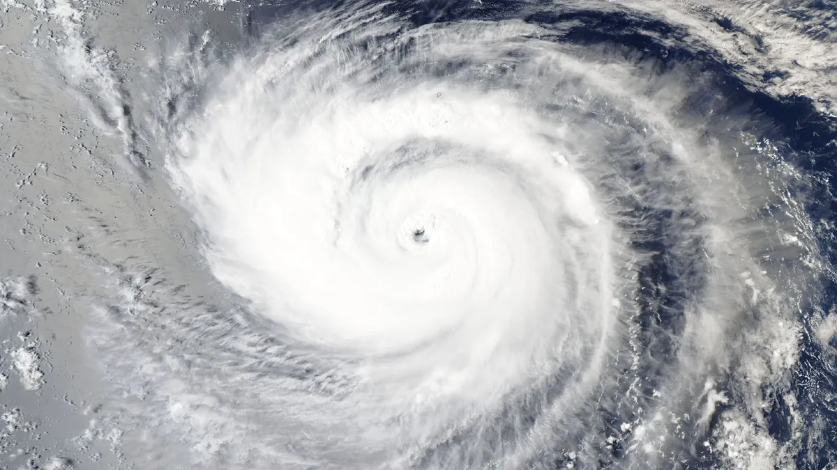
Forecasters watching a dozen tropical features around the world

The global tropics are bustling as intense summer sunshine warms the Pacific and Atlantic basins to some of their warmest waters of the year. Conditions across the Atlantic remain exceptionally quiet as a strengthening El Niño takes its toll on the region’s environment. Meanwhile, a steamy Pacific Ocean is practically printing one storm after another. DON’T MISS: Trouble may lurk beyond hurricane season’s very quiet startPacific Ocean is bustling with activityThe Pacific Ocean is staying busy this year thanks to generally favourable conditions and very warm sea surface temperatures, influenced by the presence of a growing El Niño. Four of the five tropical cyclones that have reached Category 5 strength around the world so far this year formed over steamy Pacific waters, including Sinlaku, Bavi, Dolphin, and Genevieve. The basin shows no signs of slowing down. Forecasters spent the weekend tracking 10 different areas of interest, including named storms and disturbances, throughout tropical sections of the Pacific Ocean. This basin is staying busy thanks to generally favourable conditions and very warm sea surface temperatures.

The Weather Network·
Weather

Record heat takes aim at Southern Plains with Texas, Oklahoma in the bull's-eye

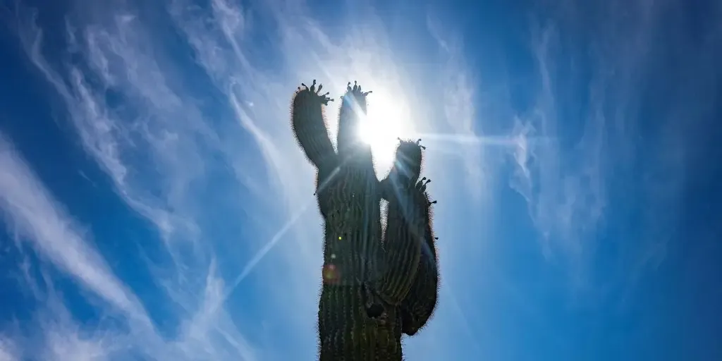
THE TAKEAWAYRelentless heat keeps record highs in play in the Southern Plains. Dallas could approach a historic heat streak. The Texas drought rapidly worsens with little rain ahead. The relentless heat baking the southern U. S. is shifting its grip, but not letting go, as triple-digit temperatures persist across the Southern Plains and expand into the Southwest. Triple-digit temperatures will continue through at least Tuesday, with numerous daily records threatened from Texas and Oklahoma to New Mexico and Arizona. EXTREME HEAT SAFETY: RECOGNIZING SIGNS OF HEAT ILLNESS AND HOW TO TREAT ITForecast Highs.(FOX Weather) Daily heat records could fall in major cities, including Dallas, Austin, Oklahoma City and Albuquerque, as afternoon temperatures soar into the triple digits, with highs between 100 and 110 degrees. Added humidity could make the extreme heat even more dangerous, pushing feels-like temperatures above 110 degrees for millions. EXTREME HEAT SAFETY: HOW TO PREPARE AND STAY COOL DURING A HEAT WAVEHeat Alerts.(FOX Weather) Extreme summer heat is nothing new across the Southern Plains, but stretches this hot for this long are far less common.

Fox Weather·
Weather

Massive python found on busy Coney Island boardwalk as families, children enjoy beach day

Officials said an officer observed a crowd, including small children, forming around a man handling the large snake with a smaller ball python around his neck. CONEY ISLAND, N. Y. - Beachgoers encountered quite the surprise after seeing a man walking the Coney Island boardwalk holding a massive snake. Authorities said a man showing off an illegally-owned Burmese python was ticketed near Riegelmann Boardwalk in Coney Island, New York, earlier this summer. DEPUTY CAPTURES 75-POUND BOA CONSTRICTOR IN FLORIDA NEIGHBORHOOD Officers hold a massive Burmese python that was found on the Coney Island boardwalk. (New York Department of Environmental Conservation / FOX Weather)The New York State Department of Environmental Conservation (NYSDEC) confirmed on Thursday that one of its officers observed a crowd, including small children, forming around a man handling the large snake with a smaller ball python around his neck. SCIENTISTS MAKE RARE DISCOVERY IN ONE OF EARTH'S MOST EXTREME OCEANSWhen questioned by the officer, the man admitted to owning the large snake and identified it as a Burmese python, officials said.

Fox Weather·
Weather

Hurricane Lala drenched Hawaii with enough water to fill nearly 2 million Olympic-sized pools

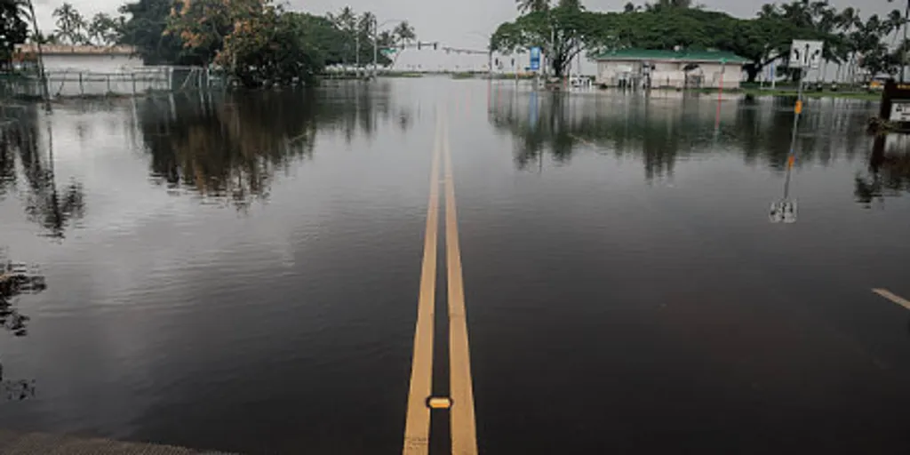
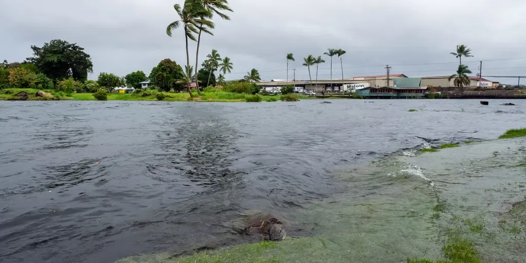
THE TAKEAWAYHurricane Lala dumped the equivalent of almost two million Olympic-sized pools of water on Hawaii. Governor Josh Green signed a request for a presidential emergency declaration for Hawaii. HAWAII – The effects of Hurricane Lala were nothing short of humongous as the storm dumped around 1.9 million Olympic-size pools of water on Hawaii during the severe weather event. Hurricane Lala was a deadly storm that still leaves thousands of residents in Hawaii without power, as the storm slammed the Hawaiian Islands with extreme amounts of rain, resulting in flooding in some areas. Lala dumped the equivalent of almost two million Olympic-sized pools of water — or 1.3 trillion gallons — onto Hawaii from Aug. 14 to 16, and it was the most significant tropical cyclone to impact the state in decades. WHAT HAPPENS WHEN A HURRICANE COLLIDES WITH HAWAII’S MASSIVE VOLCANOES? Torrential rain from Lala pushed many areas into flood stage and triggered mudslides in parts of the Hawaiian Islands. "While Lala never made an official landfall, its close pass as a Category 1 hurricane brought average statewide rainfall of 11.4 inches," the University of Hawaii said.

Fox Weather·
Weather

Magnitude 5.8 earthquake rattles Japan, shaking felt in Tokyo

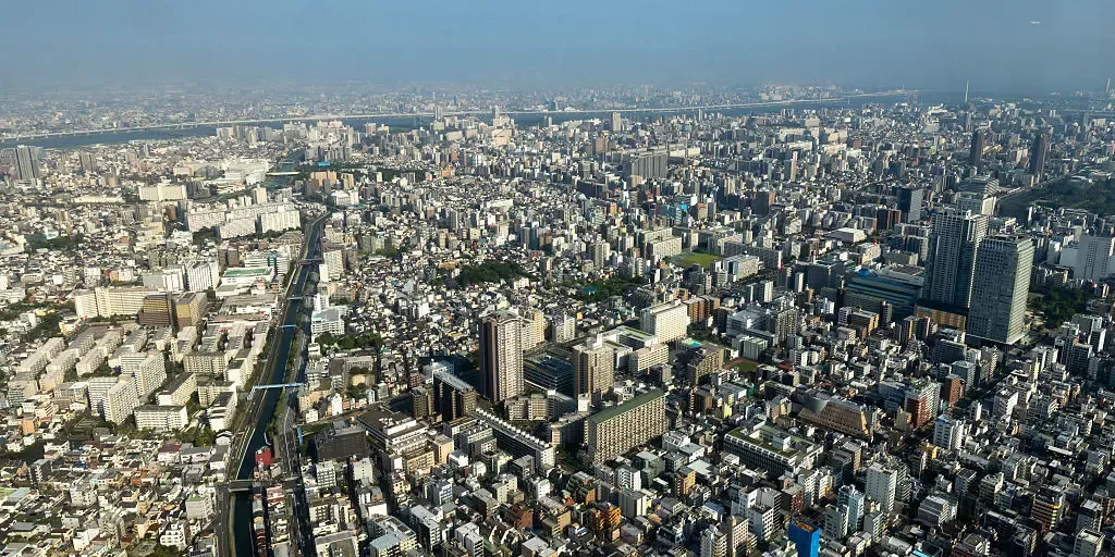
Shaking was felt across the Tokyo metropolitan area, one of the world’s most populous urban regions and home to more than 35 million people. FILE: March 11, 2011: 15 Years since Japan’s historic tsunami disaster On this day in 2011, the world watched in horror as Japan was struck by the most powerful earthquake in its recorded history — a catastrophic event that unleashed a deadly tsunami, upended millions of lives and triggered a nuclear disaster. Fifteen years later, March 11 remains etched in history as the day of a triple tragedy that has shaped disaster response across the world. TORIDE, Japan – A magnitude 5.8 earthquake struck near Toride, Japan, around 2 a.m. local time Sunday, roughly 40 miles northeast of Tokyo. According to the U. S. Geological Survey (USGS), the earthquake struck about 2.5 miles north-northwest of Toride at a depth of roughly 48 miles around 1 p.m. ET Saturday, or 2 a.m. Sunday, Aug. 23, local time in Japan. SCIENTISTS UNCOVER POTENTIALLY SIGNIFICANT MOVEMENT AT ONE OF AMERICA'S MOST DANGEROUS FAULT LINESShaking was felt across the Tokyo metropolitan area, one of the world’s most populous urban regions and home to more than 35 million people.

Fox Weather·
Weather

300+ mm: Tropical Storm Moke threatens flooding rains in Hawaii

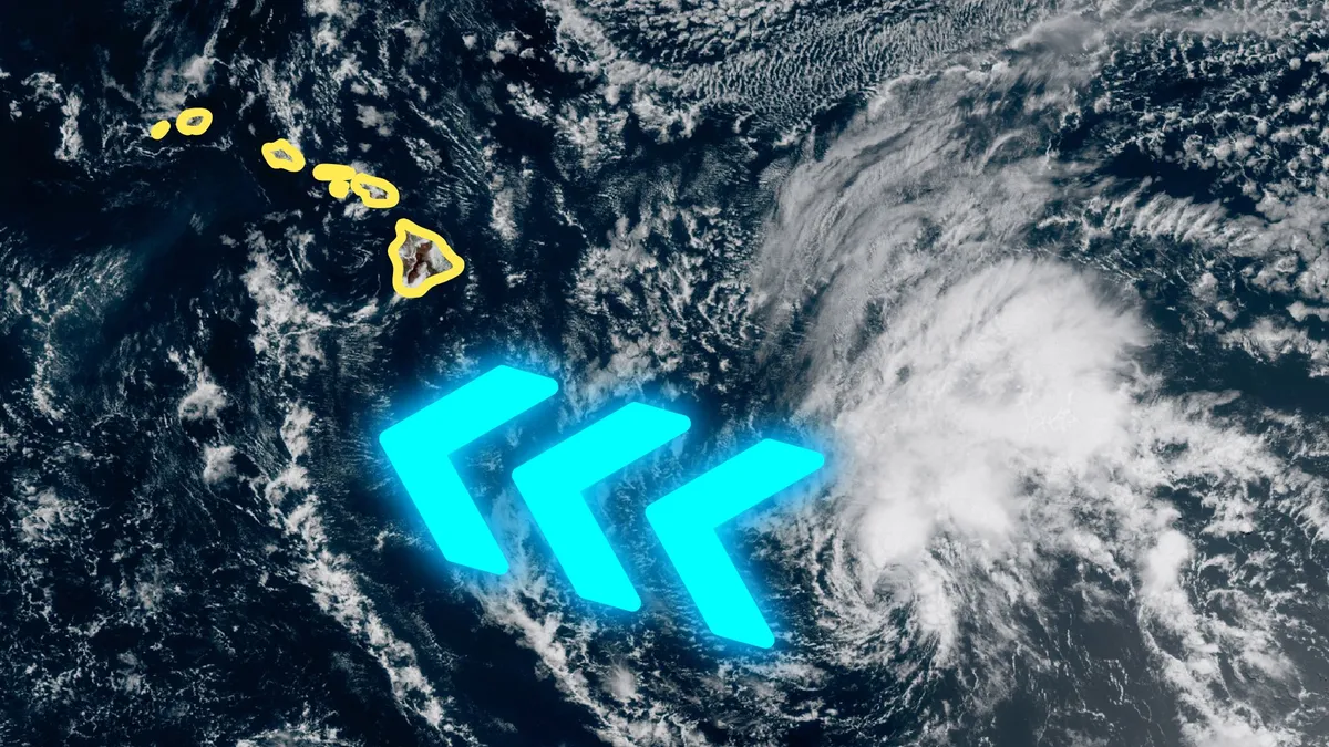
Tropical Storm Moke may bring additional dangerous weather to Hawaii on Sunday, just days after Hurricane Lala brought extreme rainfall and damaging winds to the island chain. Forecasters expect significant impacts on the Big Island despite Moke’s core likely tracking far south of the Pacific archipelago. DON’T MISS: What’s the difference between hurricanes, typhoons, and cyclones? Folks across Hawaii continued cleaning up this week after Hurricane Lala brought flash flooding, landslides, and wind damage to the islands last weekend. One community on the Big Island saw more than 1,100 mm of rain from Lala as it swiped the region. Additional heavy rainfall is expected as Tropical Storm Moke grows organized about 500 km south of Hawaii. The U. S. National Hurricane Center (NHC) predicts Moke to remain at tropical storm strength over the next several days as it moves west and tracks south of the Hawaiian Islands. Numerous hazards are expected as the tropical storm passes through the region. Content continues belowVery heavy rainfall is the greatest threat, with totals potentially hitting up to 380 mm locally on the Big Island.

The Weather Network·
Weather

Bryan Norcross: Andrew peaks in intensity 34 years ago today plus development chances increase in the Atlantic

Tropical Storm Moke to approach Hawaii’s Big Island with growing flood threats Tropical Storm Moke targets the Big Island of Hawaii on Sunday with mounting flood risks in a rare back-to-back threat for the state. As it makes its closest approach to the island, over a foot of rain is possible in some areas, accompanied by strong gusts. FOX Weather Meteorologist Melanie Black breaks down Moke’s tracking and impacts:Updated at 10:15 A. M. ET on Sunday, Aug. 22.34 YEARS AGO TODAYCoincidentally, it was a Sunday that year, too: Sunday, August 23, 1992. A couple of quick showers blew across Miami in the morning. Otherwise, it was a bright and sunny summer day. By afternoon, there was a nice breeze – the outer reaches of Hurricane Andrew's circulation. TROPICAL STORM MOKE EYES HAWAII, PACKING DANGEROUS TROPICAL DOWNPOURS AND FLASH FLOOD THREAT FOR BIG ISLANDAt 8:31 that morning, this iconic high-resolution image was taken. It was just by chance that the NOAA-12 polar-orbiting satellite was in just the right place at that moment to take the historic shot. Hurricane Andrew seen on satellite imagery 34 years ago.

Fox Weather·
Weather

Earthquake shakes Tokyo, Japan, injuring more than 30 people

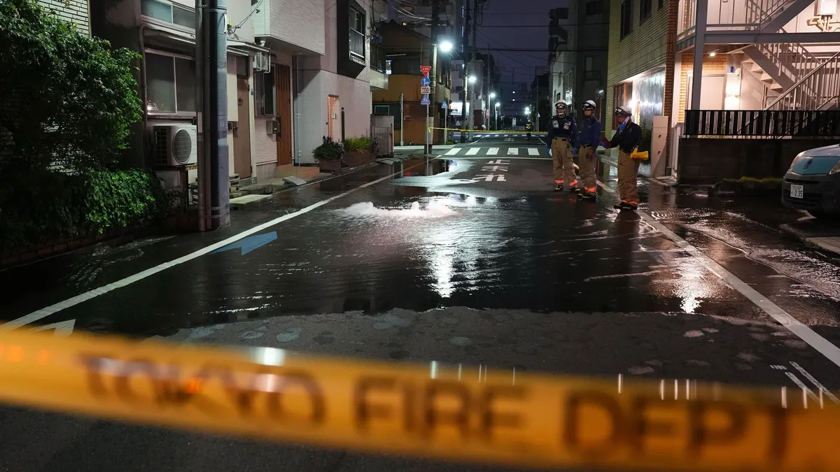
First responders from the Tokyo Fire Department stand on a street partially flooded in the early hours of Sunday, Aug. 23, 2026, following the rupture of a water pipe after an earthquake that struck the area and neighboring prefectures.(Kazuki Kozaki/Kyodo News via AP)An earthquake rattled eastern Japan, including the Tokyo area, early Sunday. Officials said 37 people were injured, most of them lightly. This follows a powerful quake last month that left tens of thousands displaced, killing 38 people and injuring 364.(MORE: Japan earthquake toll climbs as rescuers comb through rubble)The quake had a magnitude of 5.9 and its epicenter was in the southern Ibaraki prefecture with a depth of 42 miles, according to the Japan Meteorological Agency. The agency had warned residents in the area to use caution against another possible moderate earthquake for about a week. But there was no danger of a tsunami, according to officials. Dozens injuredPeople were injured across five prefectures in the region — 15 in Tokyo, nine in Saitama, eight in Kanagawa, four in Chiba and one in Ibaraki.

The Weather Channel·
Weather

Tropical Storm Moke unleashes a rare back-to-back threat, driving up the flood danger for the Big Island

Tropical Storm Moke to approach Hawaii’s Big Island with growing flood threats Tropical Storm Moke targets the Big Island of Hawaii on Sunday with mounting flood risks in a rare back-to-back threat for the state. As it makes its closest approach to the island, over a foot of rain is possible in some areas, accompanied by strong gusts. FOX Weather Meteorologist Melanie Black breaks down Moke’s tracking and impacts:THE TAKEAWAYHawaii faces a rare tropical threat for the second time in two weeks. Tropical Depression Two-C strengthened into Tropical Storm Moke on Friday. Hawaii's Big Island is once again in the bull's-eye for heavy rain after Hurriane Lala dumped nearly 3 feet of rain last week. HONOLULU — Hawaii, which rarely sees tropical activity, is facing its second tropical system in two weeks as Tropical Storm Moke tracks toward the Islands, on the heels of the torrential rain Hurricane Lala brought last week. The system is expected to dump another round of heavy rain on the Big Island, in particular, as well as other islands across the state on Sunday.

Fox Weather·
Weather

Relentless downpours, waterspouts target the East as severe storms cool off parts of the Gulf Coast

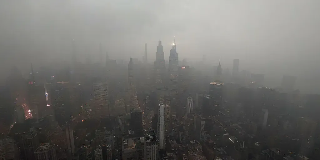
THE TAKEAWAYRain and severe storms target the Northeast and Great Lakes, spreading south to Georgia and the Gulf Coast. Numerous waterspouts will be possible across the Great Lakes. Storms will help provide relief from the intense heat across the Southeast. Another day of rain will keep the weekend soggy across the Northeast and lower Great Lakes on Sunday, as a dip in the jet stream helps fuel thunderstorms from eastern New York and Pennsylvania into southern New England. Recent torrential downpours have left some soils saturated, which could heighten the risk of localized flash flooding. FIRST TASTE OF FALL ON THE WAY AS COOLER AIR TARGETS THE EASTERN USSome storms could turn severe, bringing damaging winds, hail and even waterspouts across the Great Lakes, where peak waterspout season is underway. Rain and severe storms will also extend southward into Georgia and the Gulf Coast. next NEW YORK, NY - AUGUST 20: A thunderstorm passes through midtown Manhattan, seen from the 102nd-floor observation deck of the Empire State Building on August 20, 2026, in New York City.

Fox Weather·
Weather

How animals cool off in heat: Some bizarre cooling tricks

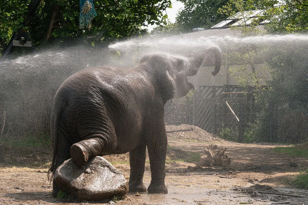
Miami elephants get hosed down as city ties 130-year-old heat recordWhen temperatures soar, humans aren't the only ones looking for relief. Animals have their own ways of handling extreme heat — and for some zoo residents, keepers step in with a helping hand. From giant hoses and frozen treats to some truly bizarre biological tactics, staying cool can look very different across the animal kingdom. Animals have their own ways to cool off Elephants don't need much help. They use their trunks to splash water across their bodies, then coat themselves in mud to shield their skin from the sun. Rhinos wallow in mud or water for the same reason, and kangaroos lick their forearms. These are all forms of evaporative cooling, using moisture on or around the body to carry excess heat away. For many animals, a quick splash or a coating of mud makes a real difference when temperatures climb.(MORE: Splooting: the adorable way animals beat the heat) Mud beats water.

The Weather Channel·
Weather

Torrential downpours expected in the Maritimes on Sunday

Grab your umbrella if you’ve got plans in the Maritimes on Sunday. Strong to severe thunderstorms may produce torrential downpours throughout the region during the day. Beware the threat for localized flooding beneath the heaviest storms. DON’T MISS: Trouble may lurk beyond hurricane season’s very quiet startA warm front lifting across the Maritimes will drag a rich reserve of atmospheric moisture over the region. Showers and thunderstorms will tap into this ample moisture to produce very heavy rainfall throughout the region. We’ll see patches of heavy rainfall begin to sweep across southern Nova Scotia, New Brunswick, and eventually Prince Edward Island on Saturday night. Localized totals of 30-50 mm of rainfall are possible with this first round of heavy showers through the pre-dawn hours on Sunday. RELATED: Tips to stay safe during a flash flood as peak season draws nearDownpours and thunderstorms will continue throughout Nova Scotia much of Sunday morning, padding the totals of any precipitation that fell the night before. Content continues belowSeveral rounds of torrential rains are forecast to sweep north across the Maritimes through Sunday before easing into Sunday night.

The Weather Network·
Weather

Weather Of The World: August 23

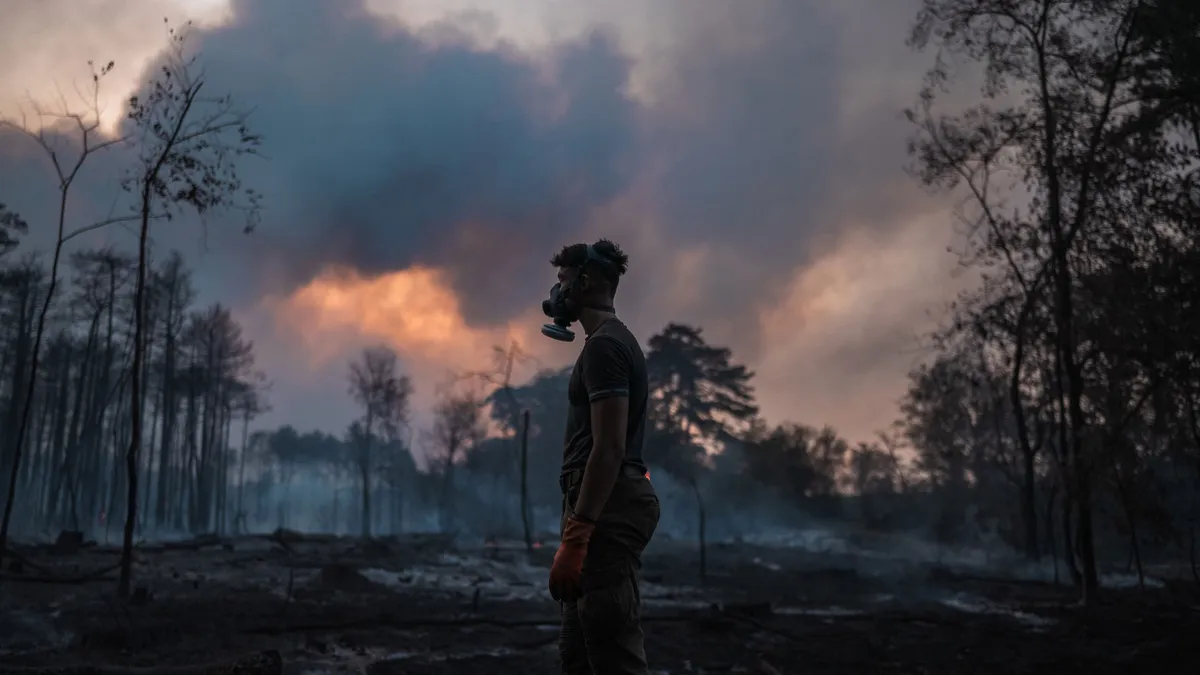
Wander the world one snapshot at a time. Explore striking moments of weather in motion in this week's slideshow. ByAda Wood•August 23, 2026Updated: August 23, 2026, 7:05 am EDTPublished: August 23, 2026, 7:00 am EDTA local resident wearing a protective face mask stands in front of a scorched forest as a wildfire continues to burn in Deliblatska Pescara, in Serbia on Thursday, Aug. 20, 2026. Firefighters were battling wildfires across the Balkans as days of high temperatures and drought conditions continue to drive blazes in several countries.(Uros Arsic/AFP via Getty Images)F​rom wildfires in a scorched forest in Serbia to low water levels at Lake Powell in Arizona, it has been another busy week of weather around the world. Here are some of the most jaw-dropping and awe-inspiring weather photos we found this week. A boat passes the “bathtub ring,” created by the water level when the reservoir was full, on Lake Powell on Thursday, Aug. 20, 2026, near Page, Arizona.

The Weather Channel·
Weather

Weather Whiz: August 23

Airborne Lightning Observatory for Fly's Eye GLM Simulator and Terrestrial gamma-ray flash(NASA Earthdata)How well have you been paying attention to the weather this week? Here are five questions that will test your knowledge of what's been going on. QUESTIONSNew research shows that thunderstorms create dark lightning from gamma rays and even ______. On days that reach at least 90 degrees, do birth rates increase or decrease? Astronomers have discovered a pair of supermassive black holes on the verge of ______, and it could change how we understand the early universe. How many earthquakes struck Granada, Spain, on Tuesday? Dolphins were caught using shells as ______, and a calf may have learned it from mom..... ANSWERSAntimatterIncreaseMergingThreeToolsHow did you do this week? Come back for more exciting weather questions next week, or risk showing up to trivia night unprepared! Get More of Our News on GoogleSet The Weather Company as a 'Preferred Source' to get quicker access to the news you value.

The Weather Channel·
Weather

Rainy, thundery Saturday night in Ontario before a fall-like Sunday

Rounds of strong to severe thunderstorms pushed through parts of southern Ontario on Saturday, providing an unsettled kickoff to the weekend. Expect the risk for showers and thunderstorms to continue overnight across the region. Once the active weather is behind us, an atmospheric reward is in the forecast for your Sunday. Be sure to stay alert to the changing conditions, and monitor any weather warnings or alerts in your area. DON'T MISS: How a strong El Niño could shape Ontario's fall weatherFall-like feel to SundaySunday will bring a sharp shift in weather as northwesterly winds move in. Temperatures will struggle to reach the 20s in the GTA, and much of the region will experience scattered afternoon showers. Expect a cooler day with a noticeably fall-like feel compared to earlier in the week. Occasional showers are expected to linger across Ontario through Monday and potentially into Tuesday morning, accompanied by brisk northwest winds. Daytime highs will range from the upper teens to lower 20s. Temperatures are forecast to return to near-seasonal values mid-week, with another chance for showers or thunderstorms late Thursday into Friday.

The Weather Network·