BBlogFlow

Categories

Weather

5149 articles

Weather

Atlantic heating up with 3 areas to watch as El Niño continues to strengthen to its strongest ever

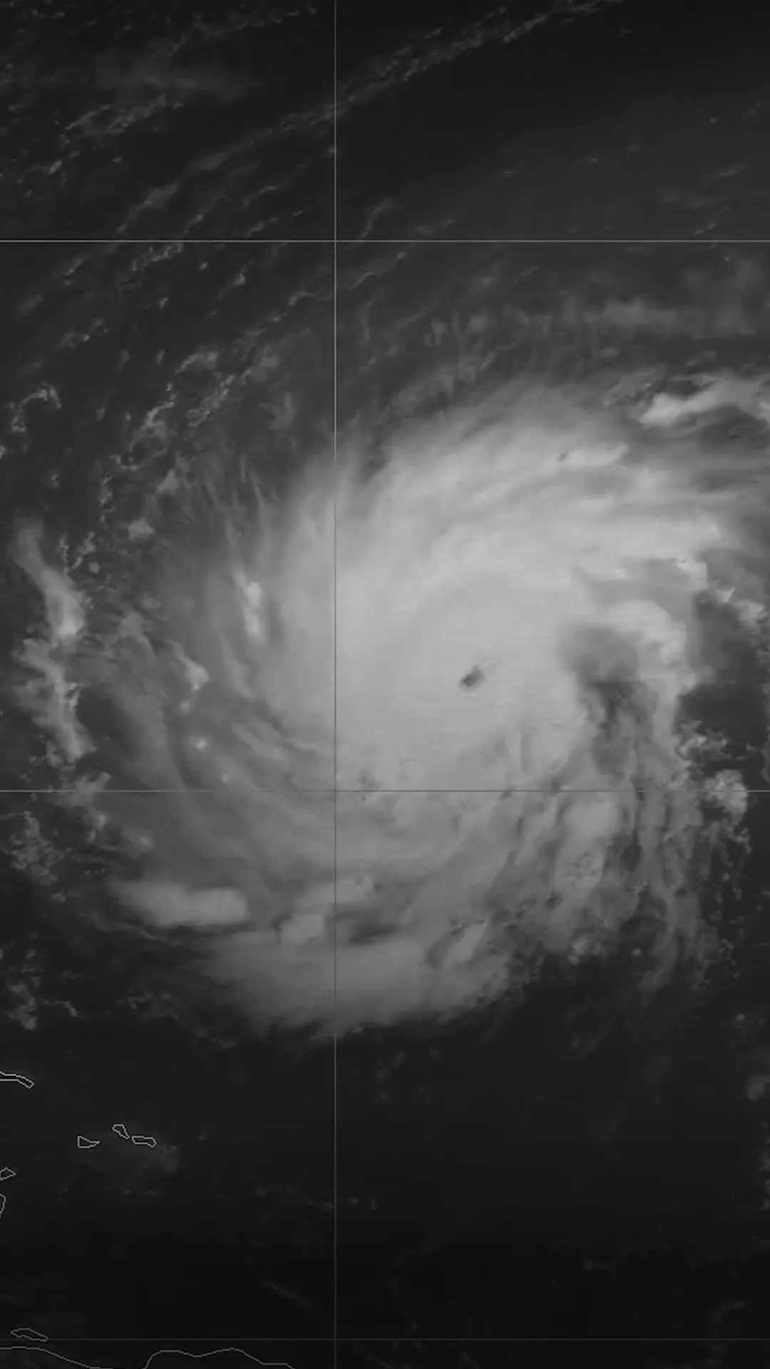
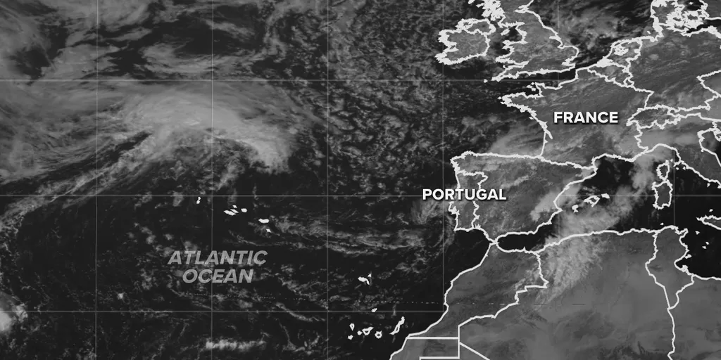
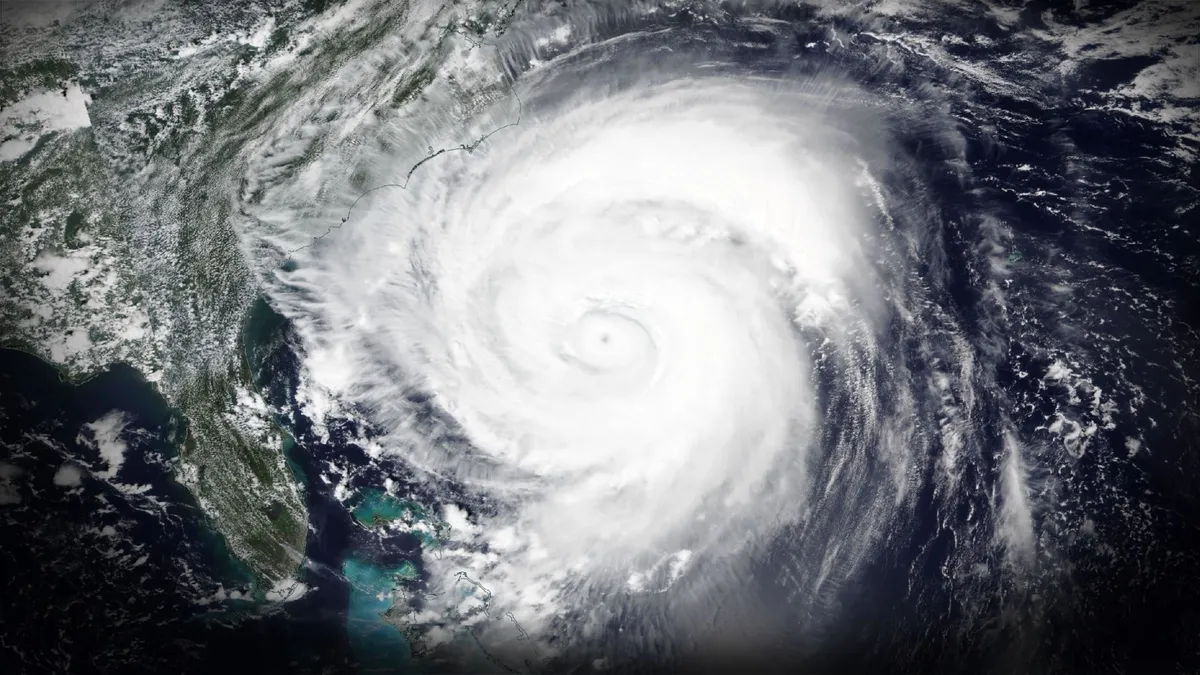
Atlantic hurricane season heats up with three areas to watch Three areas are being monitored across the Atlantic for possible tropical development next week. While most impacts are expected to remain limited to heavy rain and gusty winds, forecasters are keeping a close eye on the systems as they evolve. THE TAKEAWAYThree new areas to watch were declared in the Atlantic. The first area could cause heavy rain in BermudaThe second area will bring inches of rain and gusty winds to Portugal and SpainThe National Hurricane Center has designated new areas to watch in the Atlantic that could begin to develop sometime next week. TROPICAL DEPRESSION TWO-C DESIGNATED IN CENTRAL PACIFIC WITH HAWAII EXPECTED TO SEE SIGNIFICANT IMPACTSThe first area to watch is located in the central Atlantic. This area is a small, non-tropical low-pressure system located approximately 620 miles southeast of Bermuda. Areas to watch in the Atlantic.(FOX Weather) The system could develop into a tropical depression in the next few days. It is forecast to bring heavy rain to Bermuda around Monday and Newfoundland on Wednesday before curving into the far northern Atlantic.
Fox Weather·
Weather

Trouble may lurk beyond hurricane season’s very quiet start

A remarkably quiet Atlantic basin continues snoozing this week as the busiest stretch of hurricane season rapidly approaches. The statistics behind the exceptionally slow start to the year are downright impressive, and conditions remain unfavourable for much activity to kick off the peak of the season. DON'T MISS: Destructive Atlantic hurricanes can still happen during El NiñoThree weak Atlantic storms so far this summerEach month this summer has seen just one named storm. Tropical Storm Arthur formed in the Gulf of Mexico in the middle of June. Despite its weak winds and disheveled appearance, Arthur reportedly produced as much as 700+ mm of rain in parts of Louisiana. Just over a month later, a lopsided Tropical Storm Bertha formed in the same general region and brought some wet and breezy conditions to the northern Gulf Coast. Tropical Storm Cristobal formed from a tiny cluster of thunderstorms in a remote part of the northern Atlantic Ocean, surviving for exactly one day before dissipating. Content continues belowTropical activity running significantly behind normalA normal Atlantic hurricane season typically produces four named storms by the middle of August.

The Weather Network·
Weather

Bryan Norcross: Tropical Storm Moke's rains arrive in Hawaii late tonight, plus an Atlantic system to watch

Tropical Storm Moke forms, threatening tropical downpours and flash flooding in Hawaii Tropical Storm Moke is heading near the Hawaiian Islands, bringing another round of heavy rain and flooding just a week after deadly Hurricane Lala slammed the Big Island. The National Hurricane Center is forecasting 5 to 10 inches of rainfall, with some areas receiving up to 15 inches. Stay with FOX Weather for the latest LIVE coverage in Hawaii from Senior Correspondent Robert Ray. Updated at 9:15 A. M. ET on Saturday, August 22nd 34 YEARS AGO TODAYAt 5:00 AM August 22, 1992, Andrew became a 75-mph hurricane. That morning, we had no idea, of course, that it would make landfall in South Florida exactly 48 hours later. The forecast early that Saturday morning still called for the storm to turn north in the general direction of Central or North Florida. Although the National Hurricane Center discussion mentioned the possibility of Andrew tracking farther south and impacting the Northern Bahamas. We didn't take a hurricane forecast as literally back then as we do now.

Fox Weather·
Weather

Ontario weekend: Saturday storms and a Sunday chill

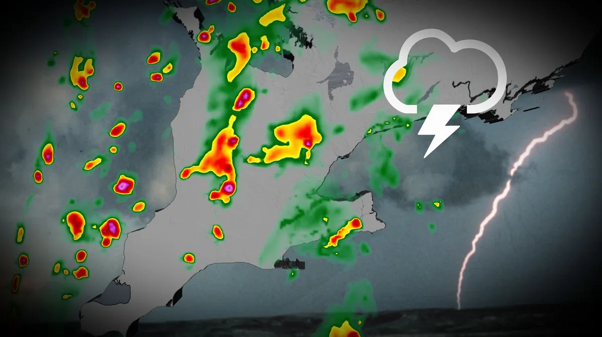
Southern Ontario starts the weekend with late summer conditions, featuring mostly sunny skies and temperatures in the mid to upper 20s. Showers and thunderstorms are expected to move west to east across the region on Saturday, however, with multiple storm lines expected to track from James Bay to Lake Erie. DON'T MISS: How a strong El Niño could shape Ontario's fall weatherBe sure to stay alert to the changing conditions, and monitor any weather warnings or alerts in your area. Saturday's thunderstorm risk could interrupt outdoor plansSouthwestern Ontario will be the primary focus, with rounds of thunderstorms developing from late morning into the evening on Saturday. Areas east of the Greater Toronto Area (GTA) are likely to experience quieter conditions, with isolated thunderstorms more probable in the afternoon and evening. The atmosphere carries significant moisture, but with temperatures in the low to mid-20s, humidex values are not expected to be problematic. Content continues belowThose outdoors should still monitor for localized severe conditions, including heavy rain and strong wind gusts.

The Weather Network·
Weather

Life cycle of a hurricane: from thunderstorms to devastating storm

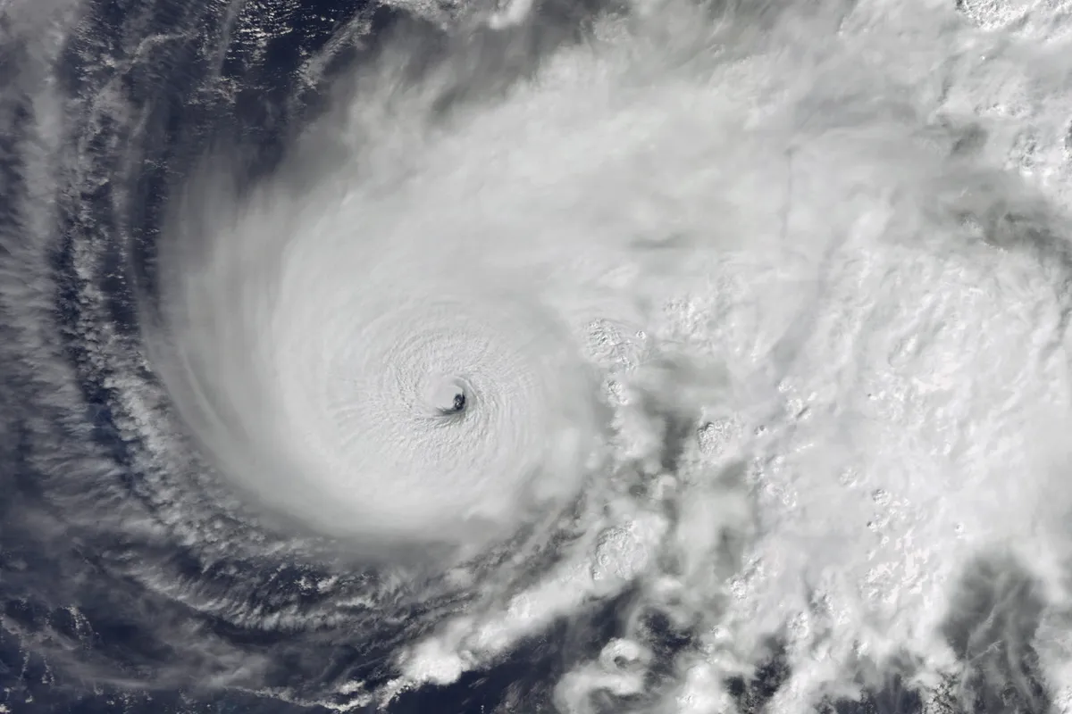
The life cycle of a hurricane, from beginning to endDuring hurricane season, lot of terms are thrown around when describing tropical systems, with the main ones being hurricanes and tropical storms. But there are a lot more terms you may not have heard of when talking about the life cycle of a hurricane. UNITED STATES - 9 OCTOBER 2024 : A Satellite view of Hurricane Milton making landfall in Florida, USA. Imaged 9 October 2024.(Gallo Images/Orbital Horizon/Copernicus Sentinel Data 2024)Tropical disturbanceThe first of the four main stages of a tropical system is tropical disturbance. These are disorganized clouds, showers and storms that form in the tropics. They are an area of low pressure, but they do not have a closed-off center. You may have heard of the term tropical wave, which is a type of tropical disturbance. These form across Africa and move west into the Atlantic, continuing to trek across the Basin. They are the most common way for tropical systems to form, but they are not the only way. Tropical depressionAs a tropical disturbance gets more organized and its center becomes closed off, it becomes a tropical depression.

The Weather Channel·
Weather

Ask A Met: Can lightning strike or travel through glass?

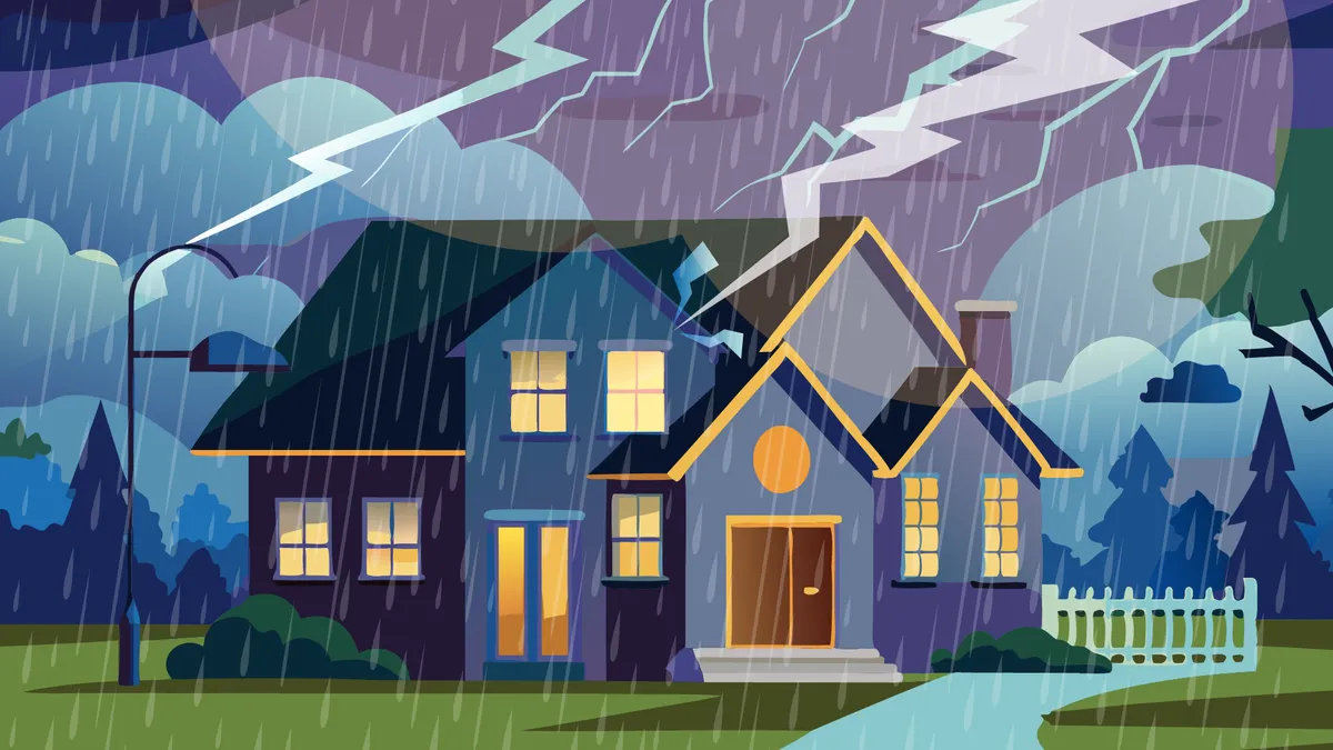
“Can lightning strike or travel through glass?” – JohnIn general, the answer here is no. The goal of cloud-to-ground lightning is to find the path of least resistance to the ground, and glass is far from an easy route for lightning to take. Glass is an insulator, so there are typically lots of better options for routes for lightning to take to get to the ground as easily as possible. There are kind of some caveats here. People living in glass houses shouldn’t only not throw stones. They shouldn’t hang out during a thunderstorm, either. Get More of Our News on GoogleSet The Weather Company as a 'Preferred Source' to get quicker access to the news you value. If there aren’t any better conductors available for a lightning strike to get from Point A to Point B or if the window is one of the unluckiest pieces of glass in the world, a window could end up getting struck. But lightning wouldn’t travel through that window… it would cause it to shatter or even explode. In rare cases, lightning can even travel through cracks in the sides of windows of old homes, striking things and people inside. Also, as a fun fact, lightning can make glass (or something similar, anyway).

The Weather Channel·
Weather

Does it really always rain on the weekend?

What a 30% chance of rain actually meansA rainy weekend can really put a damper on our lives, but does it really rain more on the weekends? The science is a bit mixed. Does it actually rain more on the weekends? It depends on who you ask, and when. You and I know that some places just get stuck in wet weekend patterns for what feels like forever. While 2026 seems to have bucked the trend, 2023-2025 featured a long list of consecutive wet weekends in the Northeast. Twenty-five weekends in a row. Twelve weekends in a row. We cannot ignore that people are often paying more attention to the weather on the weekend than during the week when we're cooped up working inside. So a rainy day at the office, while notable, isn't as annoying as a rainy Saturday when we want to be outside. Get More of Our News on GoogleSet The Weather Company as a 'Preferred Source' to get quicker access to the news you value. Even among scientists, this is up for debate. Dubbed the "weekend effect," the answer may depend on your location.

The Weather Channel·
Weather

First August rainfall finally hits B.C. this weekend

This weekend, a ridge of high pressure will shift from B. C. into the Prairies, taking much of the heat with it. Interior temperatures will drop by more than 10°C between Friday and Sunday, while the Lower Mainland will see a 5–7°C decrease. DON'T MISS: Why did NASA fly a former Cold War spy plane over B. C. wildfires? A coastal low is set to develop and track northward, bringing much-needed rainfall to coastal areas and scattered thunderstorms to the Interior. For many regions, this marks the first rainfall in August. However, dry lightning east of the Coastal Mountains raises concerns for wildfire risk. Rainfall relief, but with risk of thunderstorms and dry lightningIn Kelowna, which has already seen 41 days above 30°C this year (compared to a seasonal average of 28 days), rainfall totals are expected to provide relief, but fall short of significantly easing wildfire conditions. Rainfall estimates include Vancouver with 10–15 mm, Victoria with around 5 mm, Kelowna with approximately 5 mm, and Kamloops with 5–10 mm. RELATED: Could climate change cause more lightning — and spark more wildfires? Totals for the Interior could vary widely due to localized storms.

The Weather Network·
Weather

Two rare tornadoes struck New York City on Thursday

Officials reported at least two tornadoes in and near New York City on Thursday evening as severe thunderstorms rolled across the region. The confirmation from the U. S. National Weather Service (NWS) joins a rare handful of known tornadoes to strike within New York’s city limits. DON’T MISS: This tornado shattered a myth when it struck New York CityConditions were favourable for severe storms as far south as Washington on Thursday evening amid high moisture and instability. A potent cluster of thunderstorms pushed into New York City just after dinnertime on Thursday, spawning several tornadic waterspouts off the region’s southern shores. A tornadic waterspout is simply a tornado that forms over water instead of land. Two of these waterspouts came ashore as full-fledged tornadoes. The first tornado occurred southeast of John F. Kennedy International Airport, while the second tornado came ashore just outside of city limits in Atlantic Beach. Local news reports indicated the latter twister caused minor damage and at least one injury.

The Weather Network·
Weather

Tornado tears through Dover, Delaware, leaving significant damage, prompting state of emergency

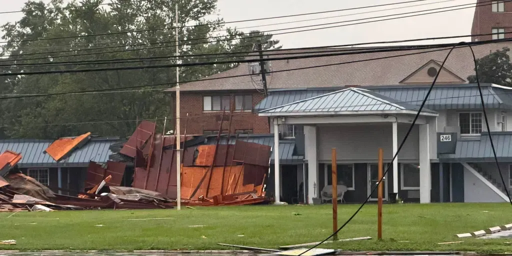
At approximately 6:18 p.m., the National Weather Service confirmed a large and extremely dangerous tornado over Dover Speedway as severe weather lashed much of the Mid-Atlantic. Confirmed tornado spins through Dover, Delaware A confirmed PDS tornado was reported in Dover, Delaware, as FOX Weather Meteorologist Steve Bender analyzes the radar, with millions across the Mid-Atlantic and Northeast under the threat of severe weather through Thursday night. DOVER, Delaware – A tornado ripped through Dover just after 6 p.m. Thursday, prompting a state of emergency in Delaware’s capital as officials reported widespread damage across the city. At approximately 6:18 p.m., the National Weather Service office in Mount Holly confirmed a large and extremely dangerous tornado over Dover Speedway as severe weather lashed much of the Mid-Atlantic and Northeast. Severe storm shows rotation as it approaches Dover A severe storm begins showing signs of rotation just after 6 p.m. southwest of Dover in Kent County, Delaware.

Fox Weather·
Weather

Lala, Moke to be most impactful back-to-back Hawaii storms

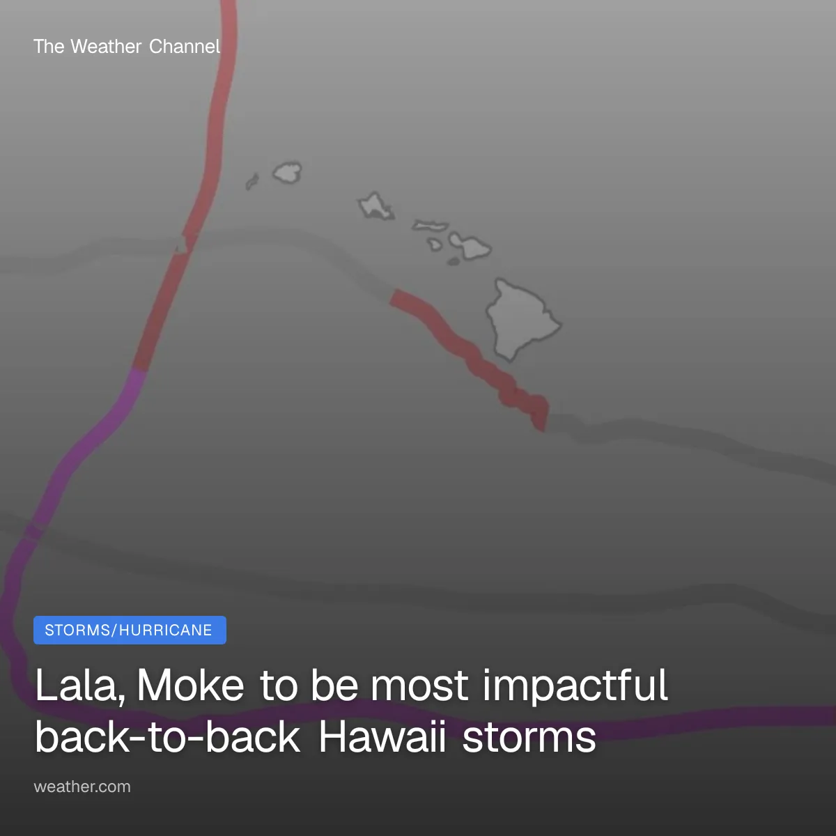
Tropical Storm Moke and Hurricane Lala will likely be the most impactful back-to-back storms to have affected Hawaii within about a week's time in records since the mid-20th century. Lala, then MokeLast weekend, Hurricane Lala lashed the Big Island with up to 43 inches of rain and damaging winds, leading to destructive flooding and landslides that washed out roads and flooded some communities. Tropical Storm Moke will then make its closest pass to Hawaii about a week after Lala, with more locally heavy rain possible, including the flood-ravaged Big Island. Both systems have been juiced by a rapidly strengthening El Niño, which often results in more active Central Pacific hurricane seasons. This is a rarity for HawaiiPoring through NOAA's database, we found only one other time since 1950 that Hawaii was affected by two tropical storms or hurricanes within a week's time. That was 10 years ago. Get More of Our News on GoogleSet The Weather Company as a 'Preferred Source' to get quicker access to the news you value. In 2016, Hurricane Madeline weakened to a tropical storm, then brushed south of the Big Island from August 31 to September 1.

The Weather Channel·
Weather

8 killed in Alaska plane crash near Cape Newenham in fog

Two U. S. Army Corps of Engineers employees were among eight people killed when a small plane crashed in foggy weather near a remote military radar site on the southwestern coast of Alaska. The two pilots and six passengers who died in the crash around midday Thursday were not immediately identified. The twin-engine Cessna 441 had taken off from Anchorage and was headed for the Cape Newenham Long Range Radar Site Airport about 450 miles (725 kilometers) west. The radar site was built in the 1950s as part of a network designed to provide early warning of a missile attack by the Soviet Union. Today, it monitors the skies off the coast in the direction of Russia, North Korea and China. The site has a gravel airstrip built on the slope of a mountain. The Federal Aviation Administration recommends that pilots use GPS and other instruments when they land there. Those on board were “dedicated professionals carrying out a vital mission in a demanding environment," U. S. Air Force Lt. Gen. Robert Davis, commander of Alaskan Command, the Alaskan North American Aerospace Defense Command Region and Eleventh Air Force, said in a statement.

The Weather Channel·
Weather

Tens of thousands still without power a week after deadly Indiana storms

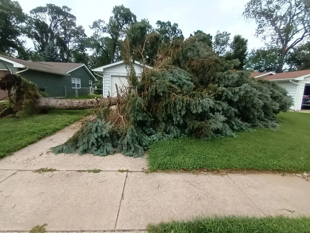
Not a tornado: Derecho mows down trees in Portage, IndianaTens of thousands of people in northwest Indiana are without power 10 days after deadly storms leveled trees and knocked down power lines across the region. A rare and dangerous cluster of severe weather known as a "derecho" struck the region on Aug. 11, bringing winds of more than 100 mph and devastating flooding.(MORE: Record Indiana flooding collapses Indianapolis road)Northern Indiana Public Service Co. told the Associated Press that crews were working nonstop to fix the outages, but 68,000 customers — mostly in Lake County, next to Illinois — still lacked electricity on Thursday, NPR reported. That includes more than 20,000 customers in Gary, where residents lined up again at community centers for hot meals and a place to charge phones. Full restoration is not expected there until Tuesday, and many residents are growing frustrated as they continue to live in "survival mode," a local hair stylist told NPR. Roughly 300 poles and 44 power transmission poles need to be repaired or replaced in Gary as a result of the storm, which carried winds of 99 mph, said Melody Birmingham, an executive at NIPSCO's parent company.

The Weather Channel·
Weather

The 4 most notorious U.S. hurricanes of all-time

The four most notorious, memorable hurricanes in US historyWhat would you consider the most notorious hurricanes in U. S. history? The Mout Rushmore conceptYou may have had an argument with friends or heard a podcast discuss something like, "Who would be on your Mount Rushmore of all-time quarterbacks? " Or best movies, best places to travel, best rock bands, anything you can think of. That debate probably lasted a while, because you only get four slots. There may be one or two that were locks to be included on that list. But then narrowing down the last two of the four can be challenging. Not only are you picking which two, but you're also eliminating the rest, each of which may have a legitimate case to be on that lofty perch of Mount Rushmore. So, we asked some hurricane experts and followers on social media to give us their Mount Rushmore of U. S. hurricanes. Get More of Our News on GoogleSet The Weather Company as a 'Preferred Source' to get quicker access to the news you value. We didn't provide any criteria, except that it could be the mainland U. S., as well as Puerto Rico, the U. S. Virgin Islands and Hawaii, to see what responses we received.

The Weather Channel·
Weather

Juvenile great white sharks evacuated for Tropical Storm Hilary

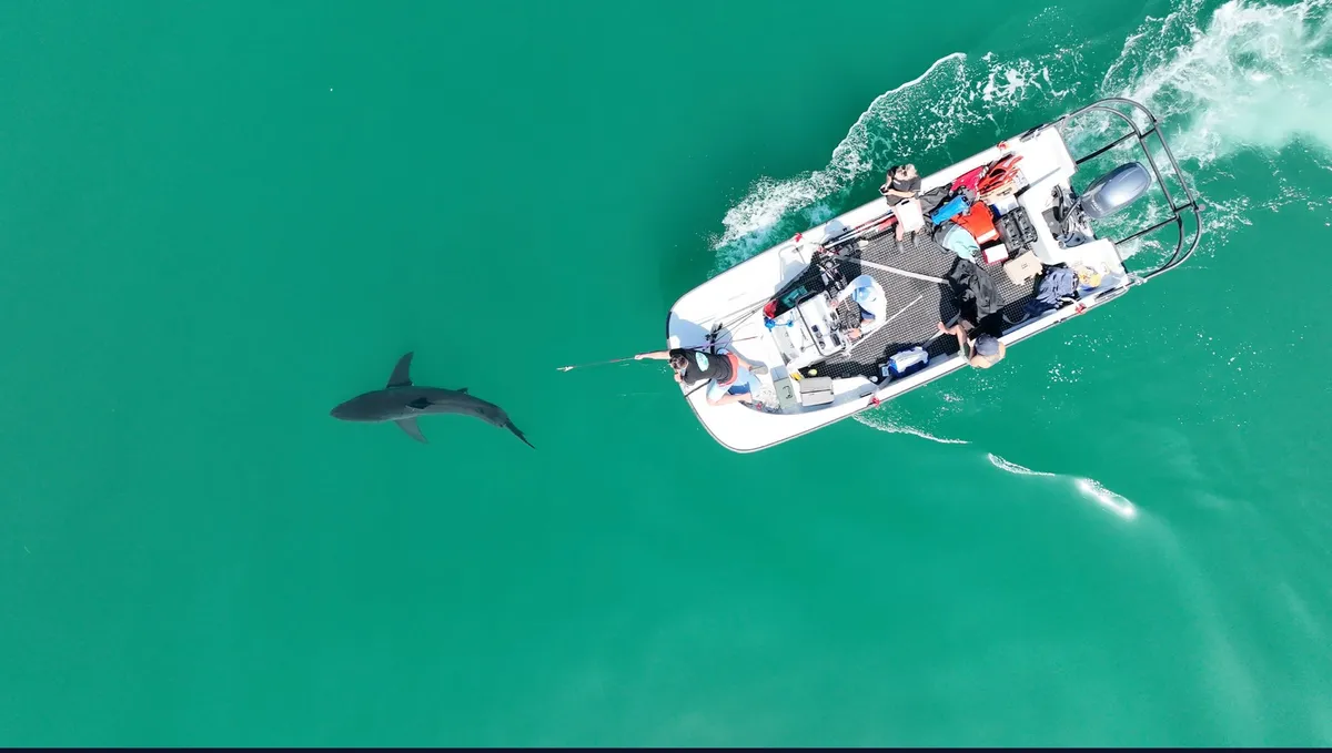
Researchers tag a juvenile white shark off San Diego in 2023.(CSULB Shark Lab)For the first time, a study has shown how juvenile great white sharks respond to hazardous weather conditions after a nursery was partially abandoned by the animals during Tropical Storm Hilary in 2023. And believe it or not, this study matters for humans, too. A team from the Semmens Lab at UC San Diego Scripps Institution of Oceanography equipped 22 juvenile white sharks with acoustic transmitters, allowing them to track their behavior before, during and after the arrival of Tropical Storm Hilary, which peaked as a Category 4 hurricane the day before it began to impact Southern California as a tropical storm.(WATCH: The water’s warmer and the sharks are getting closer)Before the storm, the team was consistently getting pings from 16 to 19 sharks in the nursery each hour. During the storm, that number fell by roughly half, to as few as eight sharks per hour. If that wasn’t interesting enough, the authors went into this study thinking the sharks would swim to deeper areas farther offshore, where they could lay low, so to speak, until the storm had passed.

The Weather Channel·
Weather

Bryan Norcross: Hawaii's Big Island is on alert for more flooding and signs of life in the Atlantic

Exclusive Analysis: Back-to-back storms set to soak Hawaii Future Tropical Storm Moke is on track to impact the Big Island of Hawaii just days after Hurricane Lala caused significant damage to the Aloha State. FOX Weather Hurricane Specialist Bryan Norcross joins FOX Weather to talk about all of the tropical activity lightning up the Pacific as well as what we can expect in the Atlantic. Last updated at 9 a.m. on Aug. 21, 2026The tropical depression southeast of Hawaii is forecast to become Tropical Storm Moke later today or tonight and take a similar track to Hurricane Lala's last week. The difference is that Moke won't be as strong when it passes south of the Big Island. It will still produce pockets of extreme rainfall, however, when the tropical moisture interacts with the tall mountains. The atmospheric environment is not as conducive for strengthening as it was for Lala, so likely-Moke is forecast to remain a tropical storm as it tracks past the islands. LATEST FROM FOX WEATHER HURRICANE SPECIALIST BRYAN NORCROSS Tropical Depression Two-C forecast (FOX Weather)Unfortunately, the focus of the rain appears to be over the same areas on Hawaii Island that were devastated by Lala.

Fox Weather·
Weather

Lightning strike kills man in Virginia as violent severe weather slams the East Coast

A man from Colorado died and a woman was taken to a hospital after the two were struck by lightning in Cape Charles, Virginia. CAPE CHARLES, Virginia – One man was killed, and a woman was injured in a lightning strike in Cape Charles, Virginia, as severe storms moved through the popular beach destination. At approximately 3:30 p.m. on Thursday, emergency services were dispatched to Cape Charles Beach near Washington Ave and Bay Ave, with reports that two people were struck by lightning. Local Storm Report from Cape Charles, Virginia, as severe storms moved through the area. (FOX Weather)A 41-year-old man from Colorado died after efforts to revive him were unsuccessful, according to Cape Charles Town Manager Rick Keuroglian. The second victim, an adult woman, suffered non-life-threatening injuries. "The Cape Charles Police Department extends its deepest condolences to the family and loved ones affected by this tragic incident," Chief James Pruitt said in a press release. The death marks the 10th lightning death in the U. S. this year, and the first in the state of Virginia since 2023, according to the National Lightning Safety Council.

Fox Weather·
Weather

Breaking down what a 30% chance of rain means for your plans

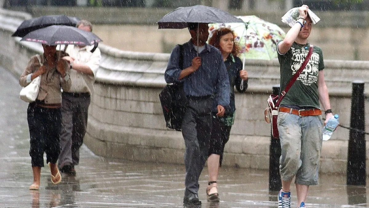
What a 30% chance of rain actually meansYour app says there is a 30% chance of rain. You head out. It pours. We've all been there. It comes down to how meteorologists calculate that percentage, and everything the number quietly leaves out. What 30% actually means Start by clearing away what it doesn't mean. Does 30% mean it will rain over 30% of the area? Not by itself. Does it mean it will rain 30% of the time? No — duration isn't in the equation at all. Does it mean the forecaster is only 30% confident it will rain? Not quite. Confidence is part of it, but only part. Storm clouds over the Manhattan skyline at sunrise. Behind every rain percentage sit two figures your app never shows you.(Gary Hershorn/Getty Images)Here's the actual definition: a 30% chance of rain means there's a 30% chance measurable rain — 0.01 inch or more — falls at your specific spot during the forecast window. Out of 10 days with conditions just like today's, roughly three would see rain where you're standing. Get More of Our News on GoogleSet The Weather Company as a 'Preferred Source' to get quicker access to the news you value. Notice that definition is about your spot — one location.

The Weather Channel·