Torrential downpours expected in the Maritimes on Sunday
This story deserves to be shared
Send it to someone who'd care, or post it on your networks.
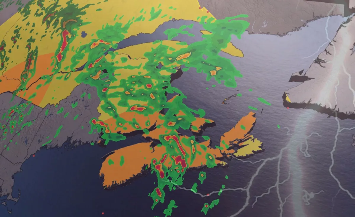
Grab your umbrella if you’ve got plans in the Maritimes on Sunday. Strong to severe thunderstorms may produce torrential downpours throughout the region during the day. Beware the threat for localized flooding beneath the heaviest storms. DON’T MISS: Trouble may lurk beyond hurricane season’s very quiet startA warm front lifting across the Maritimes will drag a rich reserve of atmospheric moisture over the region. Showers and thunderstorms will tap into this ample moisture to produce very heavy rainfall throughout the region. We’ll see patches of heavy rainfall begin to sweep across southern Nova Scotia, New Brunswick, and eventually Prince Edward Island on Saturday night. Localized totals of 30-50 mm of rainfall are possible with this first round of heavy showers through the pre-dawn hours on Sunday. RELATED: Tips to stay safe during a flash flood as peak season draws nearDownpours and thunderstorms will continue throughout Nova Scotia much of Sunday morning, padding the totals of any precipitation that fell the night before. Content continues belowSeveral rounds of torrential rains are forecast to sweep north across the Maritimes through Sunday before easing into Sunday night.
This article is an excerpt. To read the full content, visit the original source. The Weather Network
Related articles
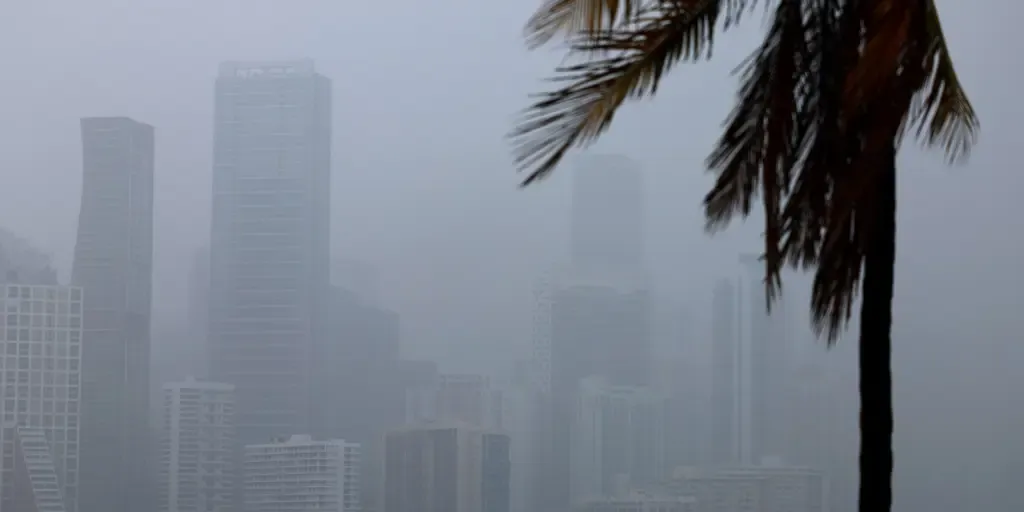
Tropical downpours soak Florida, fuel flash flood threat as weeklong storms persist
Surge of Caribbean moisture targets South Florida South Florida is expected to see several inches of rain through Sunday. as tropical moisture from the Caribbean invades the region. The rain is helpful to ease the severe drought ongoing in most of the state, but flash flooding is also a risk with 2 to 3 inches forecast for some places. FLORIDA - Flash flooding and heavy, persistent downpours will be a concern for Florida this week, helping to ease the severe drought that the Sunshine State has been in for most of the year. According to the FOX Forecast Center, a robust mid-level low-pressure system is forecast to sit across Florida as it tracks beneath the massive heat dome anchored over the South. WHAT IS A HEAT DOME AND HOW CAN IT AFFECT YOU? Florida pattern set up(FOX Weather) As it approaches Florida, this low will become "cut off," separating from the jet stream, bringing lots of rain to the state. Flash flooding will be the main concern with these downpours, and isolated thunderstorms that bring frequent lightning, gusty winds and reduced visibility are all possible. WHAT IS THE JET STREAM?
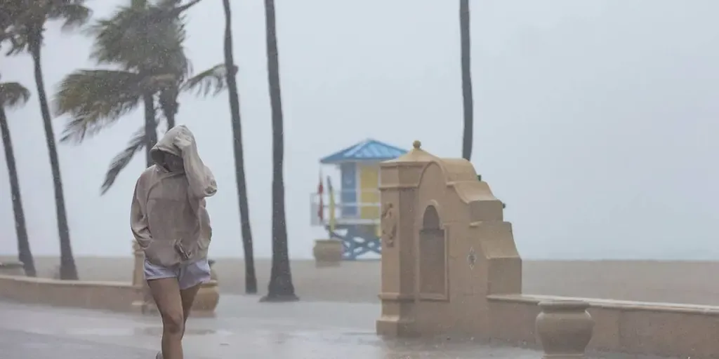
Multiday washout targets Florida as heavy downpours, thunderstorms linger through weekend
THE TAKEAWAY:Florida is facing a stormy week as tropical downpours target the region. Sea-breeze collisions could bring 1–2+ inches of rain per hour, creating a daily minor flash-flood threat. The odds remain low for any tropical disturbance to develop from the nearby low-pressure system. FLORIDA – Another stormy week has kicked off across the Sunshine State as tropical moisture surges across the region. This follows a soggy weekend that triggered numerous flood alerts, including in areas that had been unusually dry. Tropical downpours will drench portions of Florida all week long, through Wednesday, as a massive high pressure heat dome anchored over the eastern U. S. fuels gusty winds and thunderstorms. WHAT IS A HEAT DOME AND HOW CAN IT AFFECT YOU DURING THE SUMMER MONTHS? The FOX Forecast Center expects repeated rounds of slow-moving rain showers and thunderstorms, producing precipitation totals of over 1 to 2 inches per hour and fueling a daily flood threat. By Thursday, the storm pattern will intensify as a mid-level low pressure system is forecast to move out of the Atlantic, across the Florida peninsula and into the Gulf of America.
Persistent downpours trigger flood threat for drought-ridden Southeast through the weekend
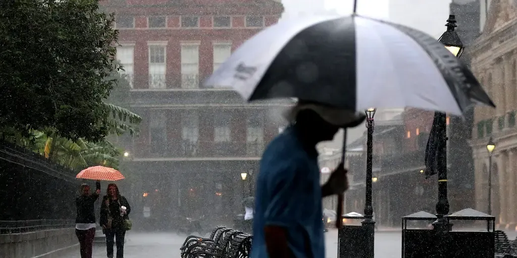
THE TAKEAWAYProlonged storms will continue impacting the Southeast through this weekend. Downpours and thunderstorms could cause flash flooding. A large section of the Southeast is under a Level 1 out of 4 threat on Friday. Prolonged late-summer downpours and thunderstorms continue to hammer the Southeast, with high pressure funneling in tropical moisture and increasing the flood threat into the weekend. As the system peaks heading into the weekend, the highest rain totals will likely target the Gulf Coast and central Florida on Saturday. A resident walks with an umbrella during a rain storm in Miami, Florida, US, on Thursday, June 13, 2024. (Eva Marie Uzcategui/Bloomberg / Getty Images)On Friday, large portions of the Southeast are under a Level 1 out of 4 threat, extending from the Carolinas to the Gulf Coast, excluding Florida. Severe storms ripped through parts of the Southeast on Friday, triggering a ground stop at Hartsfield-Jackson International Airport in Atlanta. Ground stop in Atlanta at 4:30 p.m. EST, as severe storms ripped through parts of the Southeast.
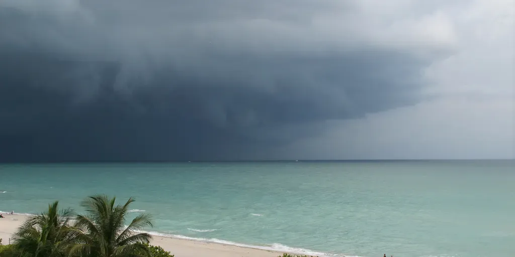
Flood threat continues across the Southeast as tropical downpours soak the region
Heavy rain and thunderstorms continue to impact the Southeast, with a flood threat expected to last through Tuesday. THE TAKEAWAYHeavy rain and thunderstorms continue to impact the Southeast. This comes as an area of low pressure fires off tropical downpours. Most of the Southeast is expected to receive 1 to 3 inches of rain. The National Hurricane Center has designated Invest 97L, which is drifting along the Gulf Coast. Heavy rain and thunderstorms continue to impact the Southeast, with a flood threat expected to last through Tuesday. KNOW YOUR FLOOD TERMINOLOGY: WHAT FLOOD WATCHES, WARNINGS AND EMERGENCIES REALLY MEANThis comes as a broad area of low pressure, along with an almost stationary front, fires off tropical downpours along the Florida coast. The amount of rain expected.(FOX Weather) The front is positioned along the coast and, combined with an area of lower pressure, is triggering daily rounds of heavy rainfall. The low pressure area has also developed some tropical characteristics since forming along the front.
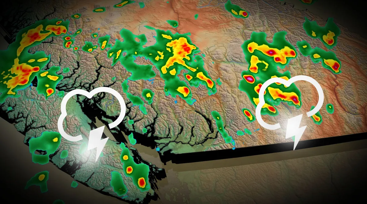
Downpours, severe storms possible in B.C. Saturday
Prepare for an active Saturday across much of southern British Columbia as a pattern change brings the region a chance for widespread thunderstorms. Some of the thunderstorms could turn severe with a risk for strong winds and large hail. Saturday’s potential may be the first rain we’ve seen all August for many communities in the area. DON’T MISS: Latest El Niño forecast calls for historic heat by this autumnSaturday severe storm potential in British ColumbiaThe ridge responsible for the recent heat will shift to the Prairies this weekend, taking the bulk of the elevated temperatures with it. We’ll see conditions cool off by more than 10 degrees from Friday to Saturday, with a 5-7 degree drop for the Lower Mainland. Rising instability will follow a low-pressure system expected to form along the coast and track northward over B. C. We’ll see pockets of downpours and thunderstorms as this system swings through the region. Most guidance highlights the risk for thunderstorms through the day on Saturday across much of the South Coast, including Vancouver Island and the Sea to Sky Corridor.
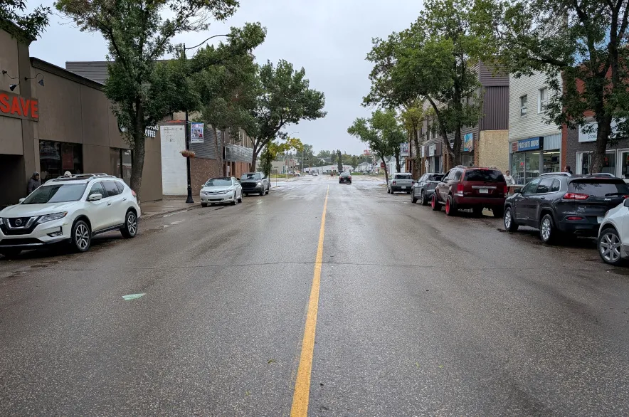
Torrential rain floods downtown Weyburn businesses - 980 CJME
While the street itself looked like it might be any other day in downtown Weyburn, the whir of fans and propped-open front doors Tuesday morning hinted at the work being done. Nearly a dozen businesses on 3rd Street, often referred to as Main Street, in Weyburn flooded in the torrential downpour on Monday — locals said as much as four inches of rain, or 10 centimetres, fell in less than an hour, and even more fell besides that. Read more: Sask. motorcycle store says retaliation tariffs will drive off customers
0 comments
No comments yet. Be the first to share your thoughts!