BBlogFlow

Categories

Weather

4073 articles

Weather

Relentless rain shifts east as flooding threat remains for parts of water-logged Southwest

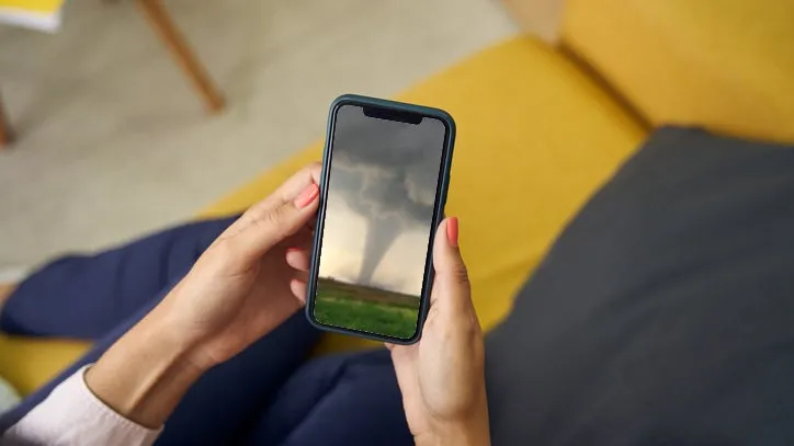
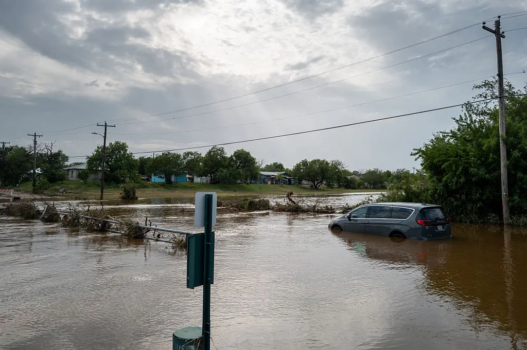
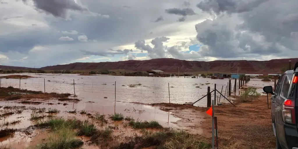
THE TAKEAWAYA Level 1 out of 4 flash risk covered parts of the Four Corners on Friday and Saturday. At least 3 people died as a monsoon-fueled storm triggered heavy rain and flooding. Storms weaken as they shift east. The relentless flood threat plaguing the Southwest this week is finally winding down, following deadly flash flooding in New Mexico on Wednesday. NOAA's Weather Prediction Center (WPC) issued a Level 1 out of 4 risk of flash flooding Friday for parts of eastern Arizona, eastern Utah and much of Colorado and New Mexico, including Albuquerque and Denver. A confirmed tornado touched down Friday in the mountains east of Fruit Heights, Utah, with astonishing video capturing the twister on the ground. MUST WATCH: High elevation Utah tornado caught-on-camera spinning at 7,500 feet A confirmed tornado touched down Friday in the mountains east of Fruit Heights, Utah, with astonishing video capturing the twister on the ground. The National Weather Service said the tornado touched down shortly after 1:50 p.m.
Fox Weather·
Weather

Dome Fire scorches hundreds of acres in Yosemite National Park, forcing popular trail closures

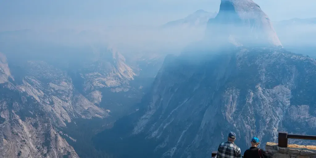
Yosemite National Park remains open and operating normally, according to park officials, with some trail closures in place. FILE: 7-year-old becomes youngest ever to summit Yosemite's legendary El Capitan climbing route Most kids celebrate their 7th birthday with cake and presents. Joey Danger Evermore celebrated by making history. He became the youngest person ever to summit Yosemite National Park's iconic El Capitan hiking route. Joey and his father, Joe, joined FOX Weather to discuss the record-setting climb, the months of preparation behind it and what it was like to take on one of America's most legendary outdoor challenges together. THE TAKEAWAYA wildfire has scorched more than 1,900 acres in Yosemite National Park. The Dome Fire started on Sept. 15 in Yosemite’s backcountry. The fire was 10% contained as of Thursday. A growing wildfire in California’s Yosemite National Park has forced trail closures as flames scorched more than 1,977 acres Thursday, with firefighters working to contain the blaze. MASSIVE WILDFIRE WIPED OUT 80% OF ONE OF THE WORLD’S RAREST PLANTS — NOW SCIENTISTS ARE FIGHTING TO SAVE ITThe Dome Fire started Sept.

Fox Weather·
Weather

Frost advisories in cottage country and southeastern Ontario

Frost advisories are popping up all over Ontario after a stormy weather event and a hot summer. A tumbling ridge of high pressure is clearing the sky and easing the winds across the province. This will help usher in cooler temperatures going into the overnight. The ridge will create conditions for patchy frost to appear, especially in low-lying and frost-prone areas. Environment and Climate Change Canada (ECCC) has issued widespread frost advisories in the Nickel Belt, cottage country, and even parts of southeastern Ontario. RELATED: El Niño has put Canada's weather on pauseEnsure you take preventative measures to protect cold sensitive plants. These frosty conditions will create overnight lows in the low to mid-single digits in cottage country and southeastern Ontario. Content continues belowThe frost risk is expected to lessen going into Saturday night, thanks to a system moving towards the southwest that will bump up temperatures. WATCH: The '3 Cs' that mean frost could be on deckStay with The Weather Network for more updates on Ontario’s weather

The Weather Network·
Weather

El Niño continues to fuel tropical activity in the Pacific with 3 systems on track for development

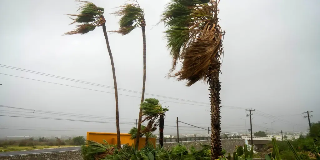
THE TAKEAWAYThe Pacific is teeming with activity with three systems to watch, including one that could become a hurricane. Development could happen as early as Sunday or Monday. Could have significant impacts on the Mexican coastline and Baja California. The East Pacific remains alive with tropical activity as the National Hurricane Center (NHC) monitors two systems with high chances of becoming tropical depressions, including one that could strengthen into a hurricane. The first system, dubbed Invest 99E, is located about 800 miles southwest of Mexico, as of the latest update from the NHC. Designated on Friday, this area of low pressure is producing disorganized showers and thunderstorms and has a high likelihood of becoming a tropical depression or storm. WHAT ARE KELVIN WAVES? EL NIÑO’S HIDDEN THREAT THAT COULD IMPACT SEVERAL STATES ON THE WEST COASTEast Pacific tropics overview(FOX Weather) The FOX Forecast Center said development is likely to happen on Sunday or Monday. Once it forms, it will eventually be pushed north by a dip in upper-level winds from the West, which will bring it toward the Mexican coast sometime in the middle of next week.

Fox Weather·
Weather

What are Kelvin waves? El Niño’s hidden threat that could impact several states on the West Coast

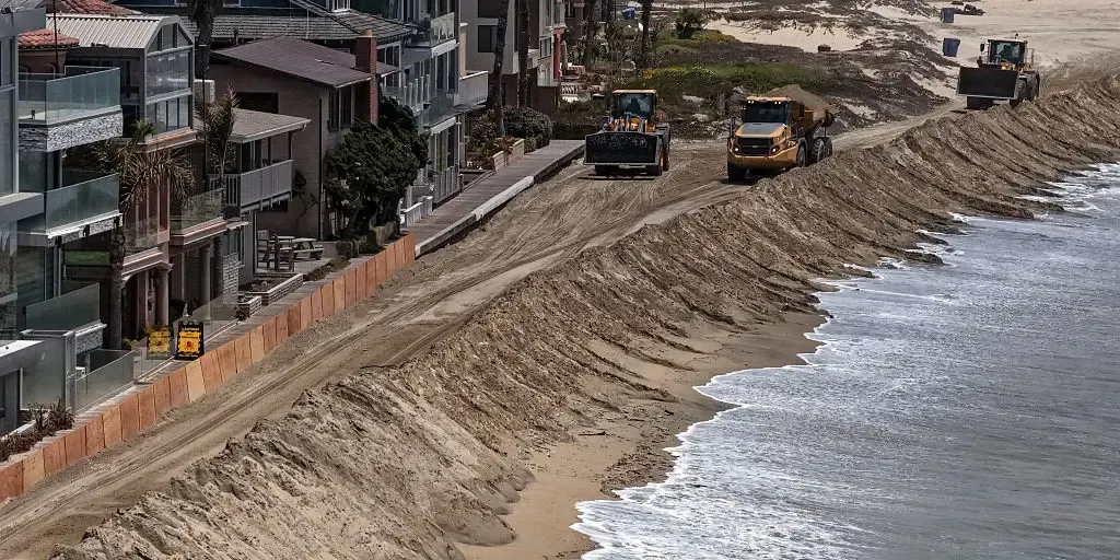
What is a Kelvin Wave? What is a Kelvin Wave? FOX Weather Meteorologist Ari Sarsalari breaks down the El Niño phenomenon that, in his words, can make things a "little dicey. "THE TAKEAWAYKelvin waves are underwater pulses of warm water associated with El Niño. They travel east along the equator before turning north along the West Coast as coastally trapped waves. Their impacts can spread northward, temporarily raising sea levels and warming coastal waters. Underwater Kelvin waves, a signature of El Niño that help intensify the climate pattern, are moving north along the West Coast and could raise sea levels, adding pressure to coastal communities already slammed by erosion. Kelvin waves begin when westerly wind bursts push warm water eastward along the equator. After reaching Central and South America, the waves can turn north and travel along the coast as coastally trapped waves, funneling El Niño’s warm water influence from Baja California toward Alaska, according to NOAA. Unfiltered sea surface height anomalies for the equatorial Pacific. On this radar, Kelvin Waves look like an elongated, coherent band of positive sea-surface-height anomalies, typically orange, red or dark red.

Fox Weather·
Weather

Weather doomscrolling vs. worsening weather: fact or fiction?

Time for a gut check: severe weather vs. social media doomscrollingDoomscrolling is when you spend an excessive amount of time scrolling through social media looking for bad news and negative content, including natural disasters. Even if you haven’t heard the term, odds are that you’ve done it. Each season seems to come with a new threat from Mother Nature in a cycle of extreme heat, drought, hurricane, flood. Rinse and repeat. It’s not surprising if you come away with the overwhelming feeling that weather is getting worse around the world. But the question "is the weather getting worse? " does not have a simple answer. It is full of nuance, caveats and addendums. The answer is also always changing as experts get new data or find new patterns. Before we fully get into this, I must say that we are, as meteorologists, not here to predict doomsday and forecast rain on your future parades. This is a fact check on what is and isn’t getting worse, with some context and facts to weather-related anxieties you may have. By understanding what is getting worse, you can better plan for the future and potentially relieve some anxieties that way. So, is the weather getting worse?

The Weather Channel·
Weather

Missing hiker's body found in Grand Canyon flood tragedy

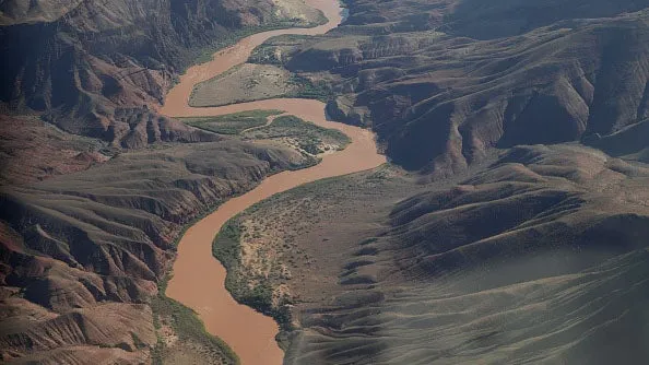
This July 2026 photo provided by the Smith family shows Timothy Smith during a family trip to Zion National Park in Utah. (Smith Family via AP)GRAND CANYON NATIONAL PARK, Ariz. (AP) — Human remains found in the Grand Canyon this week were those of the last remaining person missing after the deadly flash flooding in late August, the victim’s wife said Thursday. The discovery of Timothy Allen Smith brought the death toll to three from flooding that devastated the Phantom Ranch area at the canyon bottom and damaged the water pipeline serving the South Rim. Smith, 53, was a pilot from western Wyoming's Star Valley. His remains were found Monday near Crystal Rapids on the Colorado River that runs through the canyon. The remains of Smith's two backcountry companions, Brent Rosenkranz, 42, and John Giusti, 46, both of Granbury, Texas, were found earlier. This photo provided by Hannah Barricks shows Brent Rosenkranz during an August 2026 trip to Grand Canyon National Park in northern Arizona where his body was recovered after flash flooding.

The Weather Channel·
Weather

Nature’s color therapy: An autumn walk might be what you need

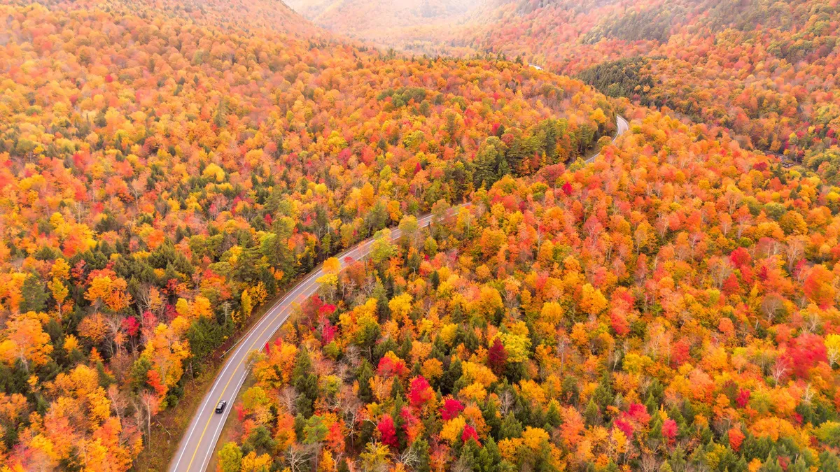
Why leaves change color in fall — and how it’s good for youFall has arrived, bringing vibrant hues of orange and yellow right outside your door. Science suggests taking an autumn walk could be just what you need to ease your mind. Nature’s color therapy — a contemplative journey through the autumnal world — is available to you today. Here are the mental health benefits you can discover if you give it a try. The science behind leaf colors and their restorative effectsTrees survive through hard work: by converting sunlight into energy to make chlorophyll, which is what makes their leaves so green. As nights grow long, trees notice this signal that seasons are soon to change. Trees respond to the seasonal shift by slowing and eventually stopping chlorophyll production. This shutdown unmasks other pigments previously hidden beneath the green chlorophyll layer.(WATCH: Now is the time to get ahead of the winter blues)Get More of Our News on GoogleSet The Weather Company as a 'Preferred Source' to get quicker access to the news you value.

The Weather Channel·
Weather

Dozens report shaking after magnitude 3.6 earthquake strikes near Great Falls, Montana

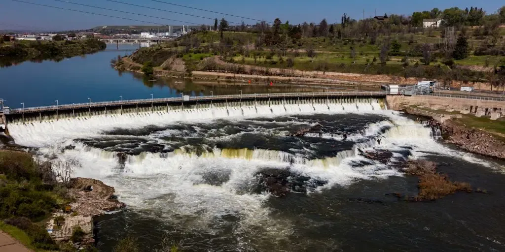
Five other magnitude 2.5+ earthquakes struck in and around Great Falls in January and February, including a magnitude 4.2 quake on Jan. 29. GREAT FALLS, Mont. — A magnitude 3.6 earthquake struck about 4 miles north-northeast of Great Falls, Montana, just after 7:40 a.m. local time, according to USGS. The quake's epicenter was roughly 17 miles below the surface. MAGNITUDE 4.8 EARTHQUAKE RATTLES THE SOUTHERN COAST OF PUERTO RICOMontana earthquake(FOX Weather) Five other magnitude 2.5+ earthquakes struck in and around Great Falls in January and February, including a magnitude 4.2 quake on Jan. 29. Great Falls is well north of the Yellowstone volcanic region, which is seismically active. HOW TO WATCH FOX WEATHER

Fox Weather·
Weather

Magnitude 4.8 earthquake rattles the southern coast of Puerto Rico

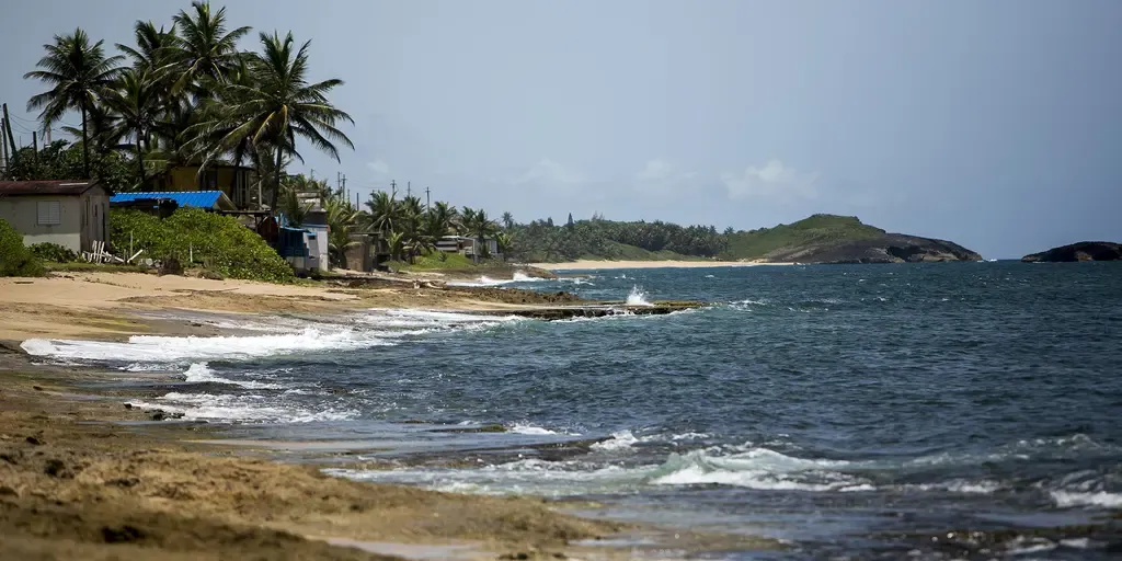
The earthquake happened at 9:19 a.m. Eastern, a little more than 3 miles southwest of Guánica, Puerto Rico. A magnitude 4.8 earthquake occurred on the southern coast of Puerto Rico on Friday morning, rattling the island. The earthquake happened at 9:19 a.m. Eastern, a little more than 3 miles southwest of Guánica, Puerto Rico. EARTHQUAKE JOLTS LOS ANGELES AREA AS MAGNITUDE 3.1 TEMBLOR STRIKES NEAR COMPTON An empty beach is seen in Arecibo, Puerto Rico, on Friday, Aug. 25, 2017. (Xavier Garcia/Bloomberg / Getty Images)Light to moderate shaking was reported across the western half of the island, per the U. S. Geological Survey. The earthquake was reported 4.3 miles below the surface. HOW TO WATCH FOX WEATHERPuerto Rico earthquake tracker(FOX Weather) There weren't any initial reports of damage to Puerto Rico after the earthquake. This is a developing story. Check back for the latest updates.

Fox Weather·
Weather

Look inside a zoo's plan to protect animals in a hurricane

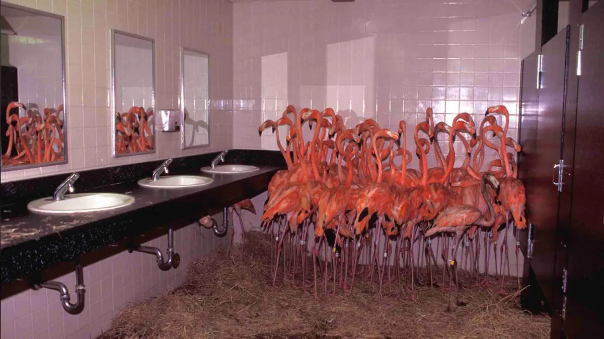
How a zoo protects its animals during bad weatherSecuring dangerous predators like lions or sheltering hundreds of flamingos during a major storm might seem like it would require massive evacuations, but it turns out, the safest strategy is keeping the animals right where they are. Rather than transporting exotic species out of a hurricane's path, Zoo Miami relies on reinforced structures, specialized protocols and early prep work to ride out severe weather safely on site. The process begins before bad weather even arrives. “We have a lightning alarm, not just for our animals, but of course for the public,” explained Ron Magill, conservation liaison at the Zoo Miami Foundation. When lightning gets within 5 miles, an initial alarm sounds. Within 2 miles, a more serious alert tells people to get indoors. Hurricanes trigger a much bigger response. Get More of Our News on GoogleSet The Weather Company as a 'Preferred Source' to get quicker access to the news you value.(MORE: Zoo animals show off wild ways to beat the heat)A hurricane watch means equipment gets tied down, and anything that could become flying debris is moved inside.

The Weather Channel·
Weather

Bryan Norcross: Atlantic development looks unlikely & Great Miami hurricane made landfall 100 years ago today

Last updated at 8 a.m. on Friday, Sept. 18, 2026. September 18, 1926The storm came in two phases. Winds in Miami increased steadily between 10:00 PM and midnight the previous evening, and the barometer started falling rapidly. At the Weather Bureau office downtown, meteorologist Richard Gray knew that the hurricane was coming. The Hurricane Warning was finally issued by Weather Bureau HQ in Washington. Gray ran to the city dock to hoist the hurricane flags. They were flying at midnight. Suddenly, just about that time, there was a powerful surge in the wind, and the bottom fell out of the barometer for the next 6 ½ hours. EYE OF THE SEASON: THE MOST NOTABLE ATLANTIC HURRICANES DURING EL NIÑO YEARSThe northeast wind ripped across the populated areas of South Florida from Miami north to Fort Lauderdale. The first half of the storm took just over six hours to pass. Windows broke, roofs blew off, and walls caved in on buildings big and small across the region. The center of the giant hurricane made landfall over today's town of Palmetto Bay about 13 miles south of downtown Miami. But the huge circulation pushed storm surge into West Palm Beach about 80 miles farther north.

Fox Weather·
Weather

El Niño may keep Texas's flash flooding risk high this fall

Flash floods swept across parts of Central Texas, bringing torrential rainfall, prompting evacuations, and triggering hundreds of water rescues.(Brandon Bell/Getty Images)Fall is moving in, but rain in Texas hasn't gotten the message. The wet pattern that soaked the state all summer hasn't broken — El Niño has been reshaping the storm track for months, and the ingredients for heavy rain are still in play as the season turns.(MORE: A meteorologist's tips to prepare for and survive a flood)El Niño has been steering the storm trackIt started thousands of miles away in the tropical Pacific, where El Niño has spent the summer changing the larger weather pattern. One of the biggest changes has been to the subtropical jet stream. As El Niño strengthened, this highway for storms grew stronger and more active across the southern U. S. — giving Texas more chances for rain all season, and keeping that door open as fall arrives. That doesn't mean every day will be a washout. It means the pattern has favored, and continues to favor, more storm systems moving through the region as we head deeper into fall.

The Weather Channel·
Weather

Soccer field was hiding the remains of a 770-year-old convent thought lost for centuries

THE TAKEAWAYA 770-year-old monastery was located beneath a soccer field in Denmark. The monastery was found using Ground Penetrating Radar beneath the soccer field. It will take six to 12 months to excavate the structure. ROSKILDE, Denmark – A monastery thought to be forgotten for 770 years was discovered this summer beneath a soccer field in Denmark. Researchers from the Norwegian Institute for Cultural Heritage Research knew of St. Clare’s Convent in the area. Still, they did not know how much of the structure was preserved, if at all. PHOTOS: RARE ICE AGE TOOTH DISCOVERED IN CALIFORNIA PRESERVE AFTER THOUSANDS OF YEARSThis comes as local officials begin work on a parking facility for the soccer field in Roskilde, Denmark. Using Ground Penetrating Radar (GPR), officials located the monastery six feet beneath a soccer field. The system transmits electromagnetic waves into the ground; when the waves encounter structures, such as the monastery or other traces of human activity, the signals reflect to the receiver. Aerial view of the GPR imaging of the monastery hidden beneath the soccer field. (National Museum of Denmark/NIKU)St.

Fox Weather·
Weather

Earthquake jolts Los Angeles area as magnitude 3.1 temblor strikes near Compton

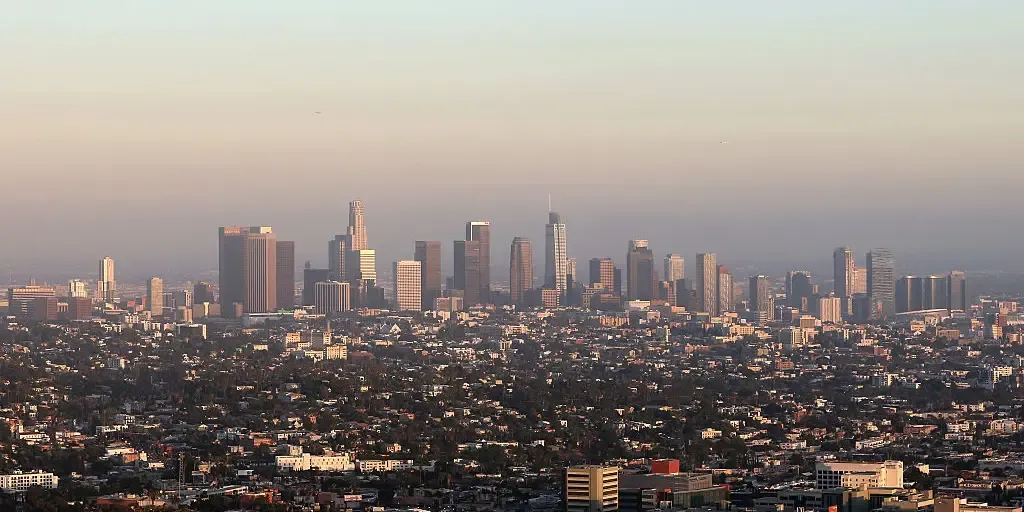
The earthquake occurred at 1:32 p.m. local time at a depth of 8.2 miles. THE TAKEAWAYA magnitude 3.1 earthquake occurred in the Los Angeles area on Thursday. The quake happened at 1:32 p.m. local time. Shaking was felt across parts of the greater Los Angeles metro area. COMPTON Calif. – A magnitude 3.1 earthquake rattled the greater Los Angeles area Thursday, striking roughly two miles south-southeast of Compton, a city known for its iconic contributions to hip-hop culture. A magnitude 3.1 earthquake occurred 2.4 miles Southeast of Compton, California, at 1:32 p.m. PT on Thursday. (FOX Weather)According to the U. S. Geological Survey (USGS), the earthquake occurred at 1:32 p.m. local time at a depth of 8.2 miles just outside the populated California city. CAN CONCERTS AND SPORTING EVENTS CAUSE EARTHQUAKES? Shaking was felt across parts of the Los Angeles metro area, from Long Beach to Glendale, according to the USGS shake map. General view looking over the skyline on June 10, 2026 in Los Angeles, California.

Fox Weather·
Weather

Central Atlantic low could become Tropical Storm Fay

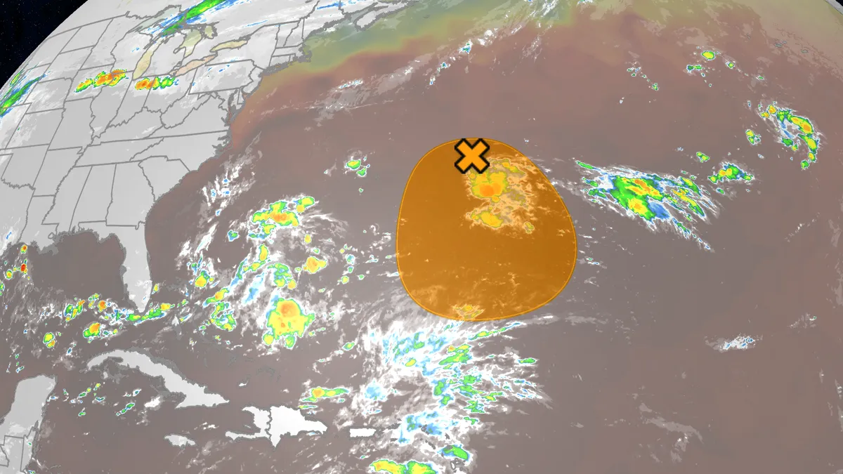
The 2026 Atlantic hurricane season has been the least active season in over 75 years, but there is an area we're watching for possible development the next few days. Where is it now? This small area of low pressure is over 300 miles east of Bermuda. Disorganized thundershowers are being affected by some northerly wind shear, blowing those showers away from the swirl of low pressure. The National Hurricane Center is calling this low "Invest 98L," a naming convention they use to identify systems of interest and allow higher-resolution computer forecast models to be run on them. (MORE: What is an Invest?)What could happen? This low is expected to loaf around the central Atlantic Ocean the next few days, drifting southward a bit. Get More of Our News on GoogleSet The Weather Company as a 'Preferred Source' to get quicker access to the news you value. While it's experiencing wind shear now, it's in a pocket where relatively shear lower. The challenge it faces is that once it drifts farther south, it could face even more wind shear. You can see this in the map below in the pink and maroon colors south of the "X" and blob denoting the system.

The Weather Channel·
Weather

Lake Mead plunges to historic low as water levels continue to fall

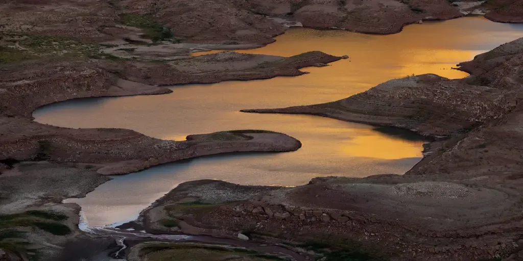
LAKE MEAD – Record-breaking heat and sparse precipitation following a sparse winter snowpack have left lakes and reservoirs across the West under pressure — including Lake Mead. Lake Mead is the nation’s largest reservoir by storage capacity and is located on the Nevada-Arizona border southeast of Las Vegas.'EVOLVING CRISIS': COULD EL NIÑO BRING NEEDED RAIN TO THE 2 LARGEST RESERVOIRS IN THE US? Land and geologic formations that have been underwater since the 1960s, when Lake Powell was created, reemerge for the first time while record low water levels continue to drop on September 4, 2026 near Page, Arizona. (David McNew/Getty Images / Getty Images)The reservoir is held back by Hoover Dam, a critical water source along the Colorado River for the Southwest, and is now at its lowest level on record. As of Sept. 16, 2026, Lake Mead stood at 1,038.50 feet above sea level, according to the Bureau of Reclamation’s daily report. The reservoir was holding about 6.875 million acre-feet of water, or roughly 26% of its active capacity.

Fox Weather·
Weather

Body of lost hiker recovered at Olympic National Park after weeks-long search

Rescue teams utilized a variety of tactics to locate the victim by dispatching aerial, ground, drone and dog teams across the hiker's expected route since he was first reported missing on Sept. 2. OLYMPIC NATIONAL PARK – Tragic news has struck the community of Olympic National Park after officials recovered the body of a missing hiker, concluding a two-week search effort. On Sunday evening, search and rescue teams stumbled upon the body of Neil Gehrig from the northwest slope of Mt. Appleton, after he was hiking within the national park. NIAGARA FALLS UNVEILS NEW ATTRACTION BRINGING VISITORS CLOSER THAN EVER TO ICONIC NATURAL WONDEROfficials were able to locate his body after receiving and analyzing additional cell phone location data. Body of missing hiker recovered at Olympic National Park. Rescue teams utilized a variety of tactics to locate the victim by dispatching aerial, ground, drone and dog teams across Gehrig's expected route since he was first reported missing on Sept. 2, according to Olympic National Park. Neill intended to make a cross-country journey from Boulder Lake to Appleton Pass.

Fox Weather·