BBlogFlow

Categories

Weather

5145 articles

Weather

‘The Sun was dark and its darkness lasted for 18 months’ – what we can learn from worst volcanic eruptions in history

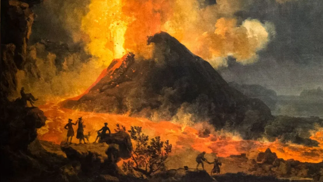
The worst volcanic eruptions in history: when the sun went darkEurope was plunged into darkness and suffered from intense crop failures and famines in the years A. D. 536 and A. D. 1258, after massive volcanic eruptions. When many people think of volcanic eruptions, they envisage deadly lava flows and suffocating ash fall. The fate of the inhabitants of Pompeii after the eruption of Mount Vesuvius in the year A. D. 79 still resonates today. Yet, volcanic eruptions have more wide-ranging consequences than is often realised, and this is recorded in historical accounts. Large volcanic eruptions emit gases and ash particles into the atmosphere. Although the ash itself settles within weeks, the aerosols spread around the planet and can remain suspended in the atmosphere for years. Ice cores – long cylindrical samples drilled from glaciers – reveal these past sediment layers over hundreds of thousands of years. What we can see from studying historic records is that volcanic eruptions can produce climatic changes, and rapid spread of disease such as plague. They can also affect weather systems far beyond the immediate vicinity of the volcano itself.

The Weather Channel·
Weather

SpaceX's new Starbase Louisiana faces a tough weather test

Will weather threaten SpaceX's $100B Louisiana spaceport? SpaceX announced its plan to build a spaceport — yep, that’s like an airport for rockets — with a $100 billion investment in Starbase, Louisiana. Now, if they can just get the weather to cooperate. Currently, Cape Canaveral in Florida is the country's most established, highest-volume rocket launch site. It serves as a good benchmark for comparison to this new location in Vermilion Parish, Louisiana, as to how the weather stacks up to benefit or inhibit launch operations.(MORE: The sun was dark for 18 months: what we can learn from history's worst volcanic eruptions)Here’s what’s at play. RainfallData from nearby Starbase, LA, shows 64.09 inches of rainfall on a yearly basis, but 50.79 inches near Cape Canaveral. For NASA’s Artemis I weather criteria, there’s a hard rule outright: “Do not launch through precipitation.”Get More of Our News on GoogleSet The Weather Company as a 'Preferred Source' to get quicker access to the news you value. A wet launch pad can be a ground-safety hazard for personnel and equipment.

The Weather Channel·
Weather

Bryan Norcross: Post Edouard the Atlantic goes quiet while we watch for tropical moisture in the West

The southern extent of an unusually strong early-season storm moving in on the Pacific Northwest looks likely to pull moisture out of Marie, however, and spread it over extreme Southern California and north in the Rockies beginning this weekend. Bryan Norcross Updated at 9:00 a.m. ET on Wednesday, September 2, 2025What's left of Tropical Storm Edouard is drenching East Texas. The storms winds have decreased, so Edouard is now classified as a tropical depression. On the radar, you can see that it still has an impressive structure so it can produce extreme rainfall. Over 20 inches of rain has been reported in some areas where Edouard's leftover bands have stalled along and near the I-45 corridor north of Houston. Rain is falling at up to 5 inches per hour in some locations. Flash flooding is occurring. LATEST FROM FOX WEATHER HURRICANE SPECIALIST BRYAN NORCROSS Radar imagery of Tropical Depression Edouard. (Bryan Norcross)Everyone in that area should stay aware of the latest flood alerts from the National Weather Service.

Fox Weather·
Weather

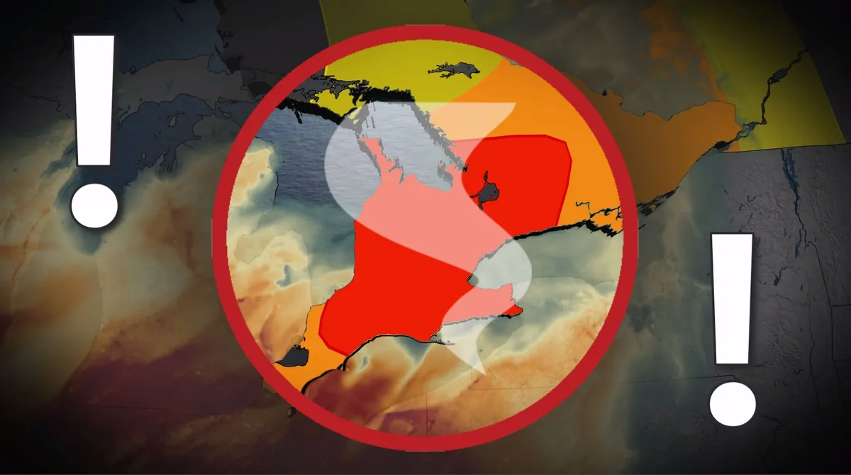
Tornado, large hail, damaging winds: Severe weather threatens southern Ontario

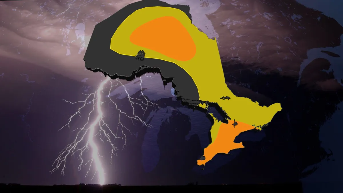
Warm weather continues across southern Ontario as meteorological summer ends, with widespread temperatures reaching above-seasonal norms. Daytime highs range from 28-30°C in areas like Hamilton and Windsor, with mid-to-upper 20s expected in the Greater Toronto Area (GTA). DON'T MISS: Summer lingers as warmth wins out across Canada in SeptemberHowever, high humidity is pushing feels-like values into the 40s from London to Windsor, enhancing discomfort and fuelling a daily thunderstorm threat. Wednesday brings the highest storm risk, with high atmospheric moisture sustaining muggy conditions. Storms may produce torrential rain, strong to damaging winds, and large hail. An isolated tornado cannot be ruled out. Be sure to stay alert to the changing conditions, and check for any weather warnings in your area. Wednesday: Risk for strong storms and isolated supercellsSouthern Ontario faces a heightened risk of severe thunderstorms Wednesday, with threats of damaging winds and an isolated tornado. Content continues belowHeavy rain is possible early in the morning across the region, including the northern GTA and Highway 401 corridor, potentially disrupting the morning commute.

The Weather Network·
Weather

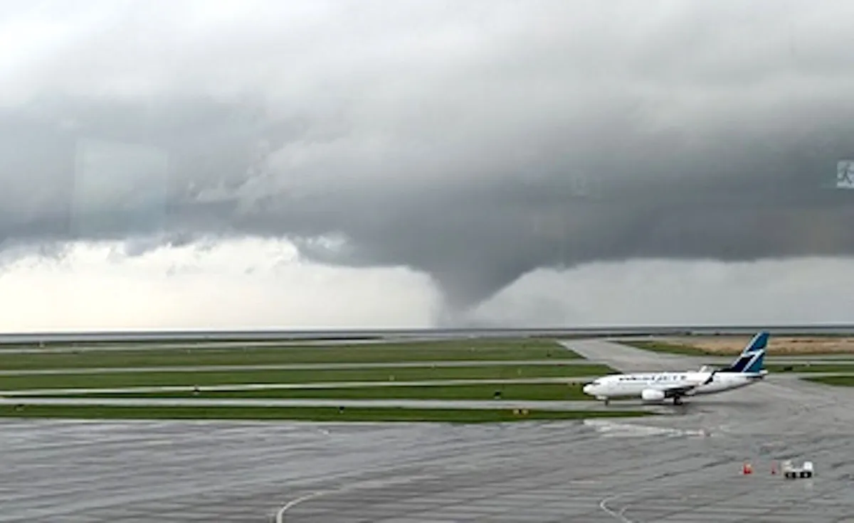
Tornadoes can happen anywhere—and cities aren't immune

Stick around any town long enough during storm season and you'll probably hear a bit of local lore about how the community is protected from twisters. “They just can’t happen around here,” the legends will insist, attributing this alleged immunity to rivers, mountains, or even tall buildings that disrupt a thunderstorm and stifle any attempt to spawn a tornado. Unfortunately, those myths aren’t just wrong—they’re flat out dangerous. Tornadoes are possible just about anywhere on Earth given the right conditions. Some areas are more prone to twisters than others, but we’ve seen formidable tornadoes touch down in areas where it didn’t seem like they could ever hit. DON’T MISS: Don’t fall victim to these seven dangerous tornado mythsTornadoes can and do strike citiesTens of thousands of spectators filled the Georgia Dome on the night of March 14, 2008, gripped by the tension of a college basketball tournament game thrown into overtime. As the teams duked it out on the court, the roof above the packed stadium began to shudder against the winds of an EF-2 tornado barreling through downtown Atlanta.

The Weather Network·
Weather

Don’t fall victim to these seven dangerous tornado myths

Are you safe from a tornado if you live in a city? Do lakes ‘repel’ tornadoes? Will opening your windows protect your home from destructive winds? Plenty of myths and questions swirl around tornadoes every season. Here are seven tornado myths you should never believe—and a few things you can do to stay safe. Tornadoes can and do hit citiesOne of the most pervasive—and terrifying—tornado myths that we can’t quite seem to shake is the idea that tornadoes can’t hit cities. This myth is fuelled by the false belief that tall, tightly grouped buildings tend to disrupt rotating thunderstorms and prevent tornadoes from hitting downtown cores. This isn’t true. While there can be intervening conditions like local lake breezes and terrain, tornadoes tend to miss city centres mostly by chance. We’ve seen dozens of cases where tornadoes hit major cities, including Vancouver, Ottawa, Atlanta, New York, and even Washington, D. C. MUST READ: Everyone needs a home emergency kit. Here’s how to stock yoursWATCH: A basketball game may have saved thousands of lives during the Atlanta tornadoTornadoes easily cross bodies of waterLakes, rivers, and streams don’t act as a deterrent to tornado activity.

The Weather Network·
Weather

Stuck in your car during a tornado? Here’s what you should do

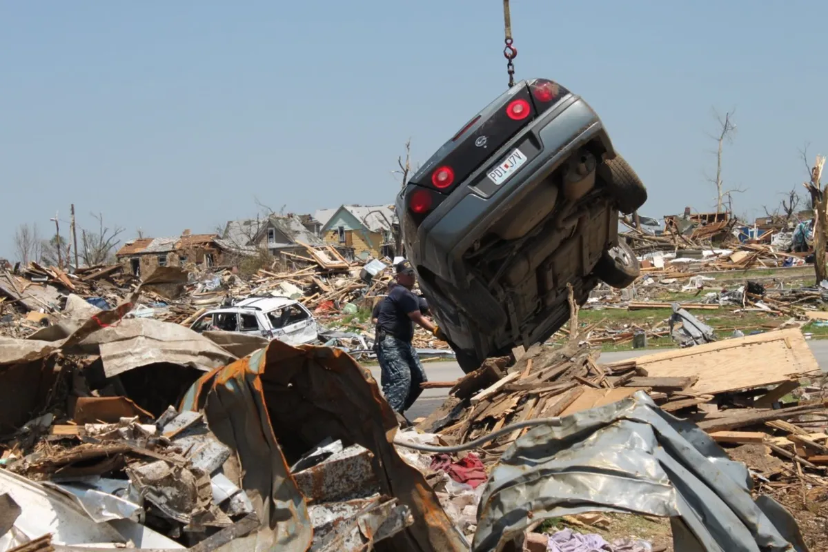
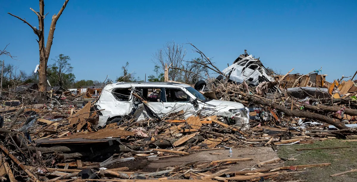
You’re cruising down the highway on a stormy afternoon when you hear the unmistakable screech of a tornado warning on your cell phone. What do you do now? It’s a scary scenario that’s sadly not uncommon as we dive into severe weather season across North America. DON’T MISS: Don’t fall victim to these seven dangerous tornado mythsA car is near the top of the list of the worst places to try to ride out a tornado. An average blustery day can noticeably push and pull on a vehicle with little effort, so it’s easy to imagine how the stronger winds of a tornado can send a vehicle and its occupants tumbling. Even the weakest tornado packs winds blowing at highway speeds. Tornadic winds pull up toward the sky in addition to swirling around, giving easy leverage to lift a vehicle off the ground. Content continues belowThat’s just the wind itself—not to mention the countless pieces of debris moving at terrifying velocities that can pierce or crush the vehicle on impact. It’s safe to say that any vehicle, small or large, should be a last resort to try to take shelter from a tornado.

The Weather Network·
Weather

Tornado warning safety: Here’s what you should do

Tornadoes are a threat across Canada during the warm season. They can happen anywhere from British Columbia to the Atlantic provinces. A tornado warning is issued when a tornado has been spotted on the ground or rotation has been detected in your area by weather radar. Take shelter immediately if a tornado warning is issued for your area. Your best option during a tornado warning is to take shelter in a basement or a storm cellar. If you don’t have a basement, go to a small, windowless, interior room on the lowest floor of the building—such as a bathroom, a hallway, or a closet. If you’re in a high-rise building, move to a hallway or interior room on the lowest floor possible. MUST SEE: Stuck in your car during a tornado? Here’s what you should doThe goal of tornado safety is to put as many walls and barriers between you and flying debris as possible. Stay away from windows, doors, and exterior walls. Content continues belowYou can climb into a bathtub and crouch down low, or get under something sturdy like a heavy table or a workbench. Cover your head and neck with your arms. If you have a heavy blanket, mattress, or helmet, use it for extra protection.

The Weather Network·
Weather

The historic hurricane that devastated the Florida Keys

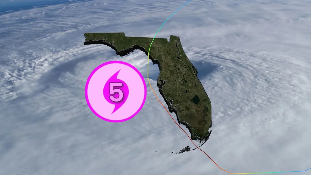
One storm that struck southern Florida nearly a century ago remains the most powerful hurricane ever observed at landfall in the Atlantic basin. Dubbed the Labor Day Hurricane of 1935, the storm devastated sections of the Florida Keys with winds of nearly 300 km/h and a storm surge that washed away entire communities. DON'T MISS: How a mammoth hurricane rapidly intensifies in mere hoursA disturbance near the Turks and Caicos Islands quickly organized into a tropical system during the closing days of August 1935. The system gradually develop over The Bahamas as it approached southern Florida. The hurricane encountered very favourable conditions near southern Florida and began a remarkable spell of rapid intensification, growing from a Category 1 to a scale-topping Category 5 in just 30 hours. Residents had little to no warning of impending storms in the days before modern technology, and they had even less notice that the hurricane lurking offshore would prove historic. Sporting a small and compact eye, the hurricane roared into the central Florida Keys with winds of 295 km/h and a minimum central pressure of 892 mb.

The Weather Network·
Weather

Edouard moving inland as flood threat continues across Texas, Louisiana

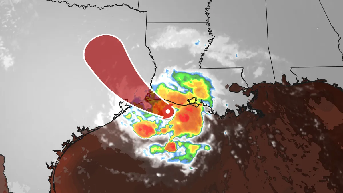
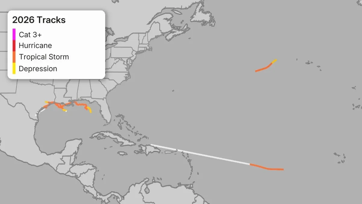
Edouard continues to bring the threat of flooding rain to eastern Texas and southwest Louisiana, including Houston. Latest information and impactsEdouard is sweeping some bands of rain ashore through eastern Texas, as the radar image below shows. The main threat from this system is heavy rainfall, both near the coast and to some extent inland, especially over eastern Texas. Here's how much additional rainfall is expected. Landfall on the Louisiana CoastThe official landfall occurred at 2:20 p.m. CDT near Johnson Bayou, Louisiana, with winds of 60 mph. An unofficial wind gust was reported near Port Arthur, Texas, on the evening of Sept. 1 after landfall. Get More of Our News on GoogleSet The Weather Company as a 'Preferred Source' to get quicker access to the news you value. Winds gusted as high as 71 mph near the Texas/Louisiana border, 52 mph at Calcasieu Pass, Louisiana and 46 mph in Cameron, Louisiana. Water levels are 1-2 feet above expected tidal levels in southwestern Louisiana. Edouard became the fifth named storm of the 2026 Atlantic hurricane season Monday evening after being designated a tropical depression early Monday afternoon.

The Weather Channel·
Weather

Tracking Tropical Depression Edouard: Forecast cone, rain, wind and radar maps

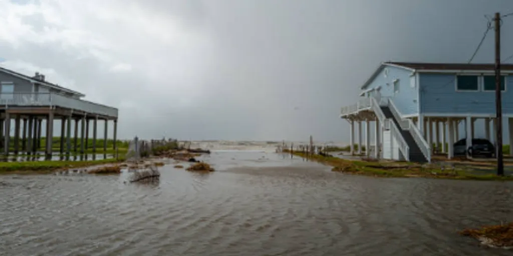
The National Weather Service said heavy rain is impacting parts of the Upper Texas coast through East-Central Texas and into Southwest Louisiana through Wednesday. THE TAKEAWAYTropical Depression Edouard forms in the Gulf. Tropical Storm Edouard strengthened after it was designated as Invest 97L, Potential Tropical Cyclone Five and Tropical Depression Five in less than 24 hours. Heavy rain and coastal flooding threaten Texas and Louisiana as Edouard will make landfall on Tuesday afternoon. Tropical Depression Edouard is bringing heavy rain and flooding to portions of the Upper Texas and Southwestern Louisiana as we head into Wednesday. The National Weather Service said heavy rain is impacting parts of the Upper Texas coast through East-Central Texas and into Southwest Louisiana through Wednesday. JAMAICA BEACH, TEXAS - JUNE 20: Seawater floods in through a neighborhood on June 20, 2024 in Jamaica Beach, Texas. Storm Alberto, the first named tropical storm of the hurricane season, was located approximately 305 miles south-southeast of Brownsville, Texas and formed yesterday in the Southwestern Gulf of Mexico.

Fox Weather·
Weather

Weather shift on the way as temperatures cool down to start meteorological fall in the Southeast

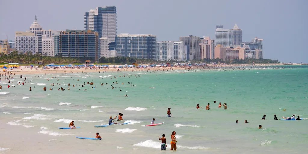
Prediction markets at Kalshi are pricing in a 71% chance that temperatures drop as low as 77 degrees on Tuesday. MIAMI, Fla. – This summer continues to bring scorching temperatures with little relief at times, but residents in Miami are in luck as a shift in weather is on the way. As summer winds down, temperatures slowly cool as meteorological fall begins. Still, temperatures will reach a high of 88 degrees today in Miami, with a heat index as high as 104 degrees before rainfall begins. MIAMI’S RAINY SEASON FALLS SHORT AS AUGUST STORMS EYE THE SOUTHEASTThis will help bring cooler temperatures as numerous scattered showers and thunderstorms develop across South Florida, according to the National Weather Service (NWS). Miami inundated with heavy rainfall.  (WSVN / FOX Weather)This comes as high rainfall rates, combined with slow storm motion, could result in localized flooding across various metro areas in the Sunshine State. In light of this shift, prediction markets at Kalshi are pricing in a 71% chance that temperatures drop as low as 77 degrees on Tuesday.

Fox Weather·
Weather

Millions across major I-95 corridor cities face severe storm threat as rare, multiday event kicks off

Rare stretch of severe storms to kick off for millions Tuesday A multi-day severe weather threat is taking shape across the Northeast, Mid-Atlantic and Great Lakes, with a level 2 out of 5 severe storm risk is in place through Friday, with Philadelphia, Baltimore and Washington, D. C., facing the potential for repeated rounds of strong to severe storms. FOX Weather Meteorologist Steve Bender breaks down the ongoing threat, while FOX Weather Meteorologist Kiyana Lewis analyzes whats to come. THE TAKEAWAYAn active weather pattern is locking in across the Northeast and Mid-Atlantic this week, packing rounds of nasty storms each day. Storms started on Tuesday and will persist for four consecutive days. A Level 2 out of 5 severe storm threat is in place for portions of the Northeast. As several disturbances ride along the northern edge of a heat dome anchored over the Central Mississippi Valley, a stormy stretch will take shape across the Northeast, Mid-Atlantic, and Great Lakes, including the increased threat of severe storms capable of destructive winds, large hail and perhaps a tornado or two.

Fox Weather·
Weather

Tropical Depression Edouard slams Texas and Louisiana with heavy rain, flash flooding after making landfall

THE TAKEAWAYTropical Depression Edouard is lashing Texas and Louisiana after making landfall Tuesday afternoon. Edouard has unleashed heavy rain and flash flooding along the Gulf Coast, as well as in parts of southeast Texas and southwestern Louisiana. Edouard strengthened from a Potential Tropical Cyclone to a full-blown tropical storm within the span of nine hours on Monday. Tropical Depression Edouard is unleashing heavy rain and flash flooding in Texas and Louisiana, and will continue to do so through Wednesday, after making landfall Tuesday afternoon. The tropical depression made landfall near Johnson Bayou, Louisiana, roughly 15 miles south-southeast of Port Arthur, Texas, at 3:20 p.m. EDT, packing maximum sustained winds of 60 mph and a minimum central pressure of 996 mb, according to the National Hurricane Center (NHC). LATEST FROM FOX WEATHER HURRICANE SPECIALIST BRYAN NORCROSSEdouard reached land while maintaining tropical storm status before weakening to a tropical depression Tuesday night.

Fox Weather·
Weather

Woman injured in suspected shark attack while swimming at popular summer vacation destination

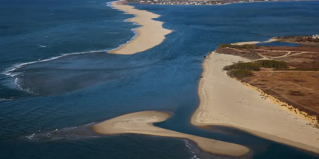
A woman suffered a leg injury while swimming off Martha’s Vineyard in what authorities suspect was a shark attack. THE TAKEAWAYA woman was injured in a suspected shark encounter off Martha’s Vineyard. Swimming was temporarily suspended as a precaution following the incident. No shark or other marine animal was seen or confirmed. EDGARTOWN, Mass. – A woman suffered a leg injury while swimming off Martha’s Vineyard in what authorities suspect was a shark attack. A woman in her mid-20s sustained wounds consistent with a marine-animal bite, possibly from a shark, while swimming at South Beach at Norton Point around 1:40 p.m. Monday, according to the Town of Edgartown. An aerial view of the eroding shoreline at Chappaquiddick Island near Wasque Point. A view of the Norton Beach break, a big hole punched through the barrier beach adjacent to Wasque.  (David L. Ryan/The Boston Globe via Getty Image)Although no shark or other marine animal was seen or confirmed, the nature of the injuries pointed to the predator made famously feared by Jaws — a film shot on Martha’s Vineyard decades ago.

Fox Weather·
Weather

Muggy weather, multi-day storms to start September in Ontario

A low pressure system in northwestern Ontario on Tuesday could generate severe thunderstorms, with risks including large hail, heavy rain, and strong winds capable of causing tree damage. DON'T MISS: Summer lingers as warmth wins out across Canada in SeptemberBe sure to stay alert to the changing conditions, and check for any weather warnings in your area. Tuesday: A conditional severe storm risk in southern Ontario, stronger storms in the northTuesday’s weather includes isolated afternoon and evening thunderstorms developing from northwest flow aloft, particularly near Georgian Bay and Lake Huron. These may migrate towards the Greater Toronto Area (GTA) and Niagara. Severe storms are less likely, but could bring heavy rain in short bursts of 30-60 minutes. Northern regions face higher risks, where large hail, strong winds, and localized heavy rain could occur. Wednesday: Risk for stronger storms with a few isolated supercellsOn Wednesday, a potent cold front from Michigan arrives, increasing severe weather potential across southern and eastern Ontario. Key risks include torrential downpours, damaging winds, large hail, and the possibility of isolated tornadoes.

The Weather Network·
Weather

One still missing following deadly flooding at Grand Canyon National Park as monsoon storms linger

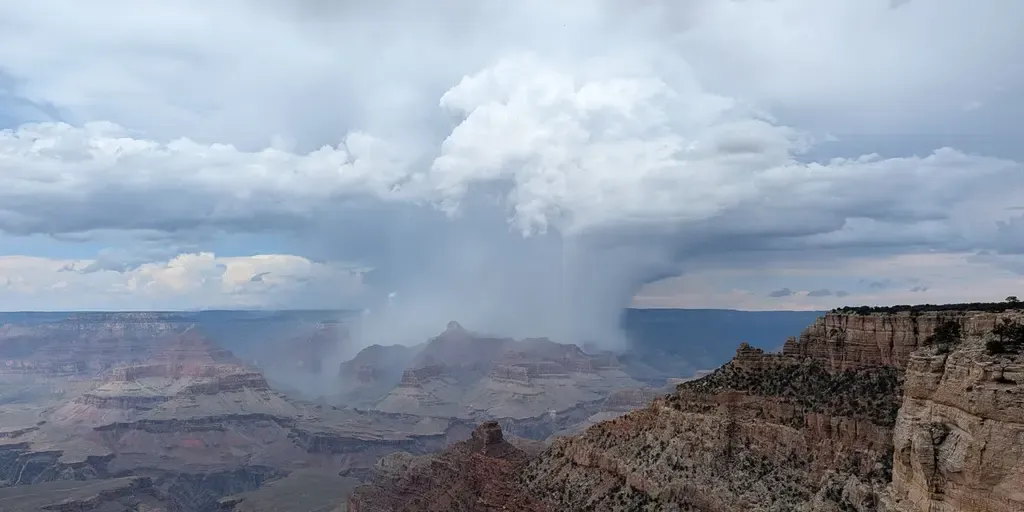
THE TAKEAWAYA search continues for a missing person after two people were killed during intense weekend flooding in the Grand Canyon. A Level 1 out 4 flash flood risk is in effect for parts of the Four Corners through Tuesday. Flooding began in the Bright Angel Creek area Saturday beneath the North Rim, near the 2025 Dragon Bravo Fire burn scar. GRAND CANYON NATIONAL PARK, Arizona — First responders are searching for one person still missing after monsoon storms triggered flash flooding in the Grand Canyon that left two people dead over the weekend. Park officials confirmed late Monday that two bodies have been recovered, and one person remains unaccounted for, while 82 others were rescued, some by helicopter from the Bright Angel Creek area, and the Phantom Ranch and Cottonwood campgrounds.11 RESCUED AFTER FLASH FLOODING SWEEPS BRYCE CANYON NATIONAL PARK IN UTAHThe hikers have been identified as 46-year-old John Guisti and 42-year-old Brent Rosenkranz, both of Granbury, Texas. One member of the hiking group remains missing. Grand Canyon National Park on Monday, Aug. 31, 2026.

Fox Weather·
Weather

2026 Atlantic season's first hurricane: A record wait?

Hurricanes that didn’t care about super El NiñoThe 2026 Atlantic hurricane season has yet to produce a single hurricane, and it could become the longest wait on record in the modern era. None for 2026, so farWe've had five tropical storms so far, but no hurricanes in the Atlantic Basin as of early September, including Tropical Storm Edouard. But it's not called the Atlantic tropical storm season. It's hurricane season, and this one has been shut out of hurricanes for the first three-plus months. That's largely due to the intensifying El Niño generating hostile conditions for hurricanes, like high wind shear and dry, sinking air over key stretches of the tropical Atlantic Basin. When it usually happensWe examined data from the last 60 hurricane seasons, from the first year satellites routinely covered the basin in 1966 through 2025. The average date of the season's first hurricane in that 60-year satellite era was July 27. Get More of Our News on GoogleSet The Weather Company as a 'Preferred Source' to get quicker access to the news you value. As the graph below shows, that first hurricane arrived most often either in July or August.

The Weather Channel·