BBlogFlow

Categories

Weather

4071 articles

Weather

Extended dry spell in B.C. fuels wildfires across Vancouver Island

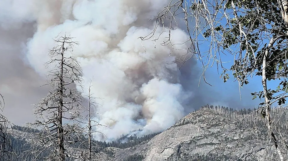
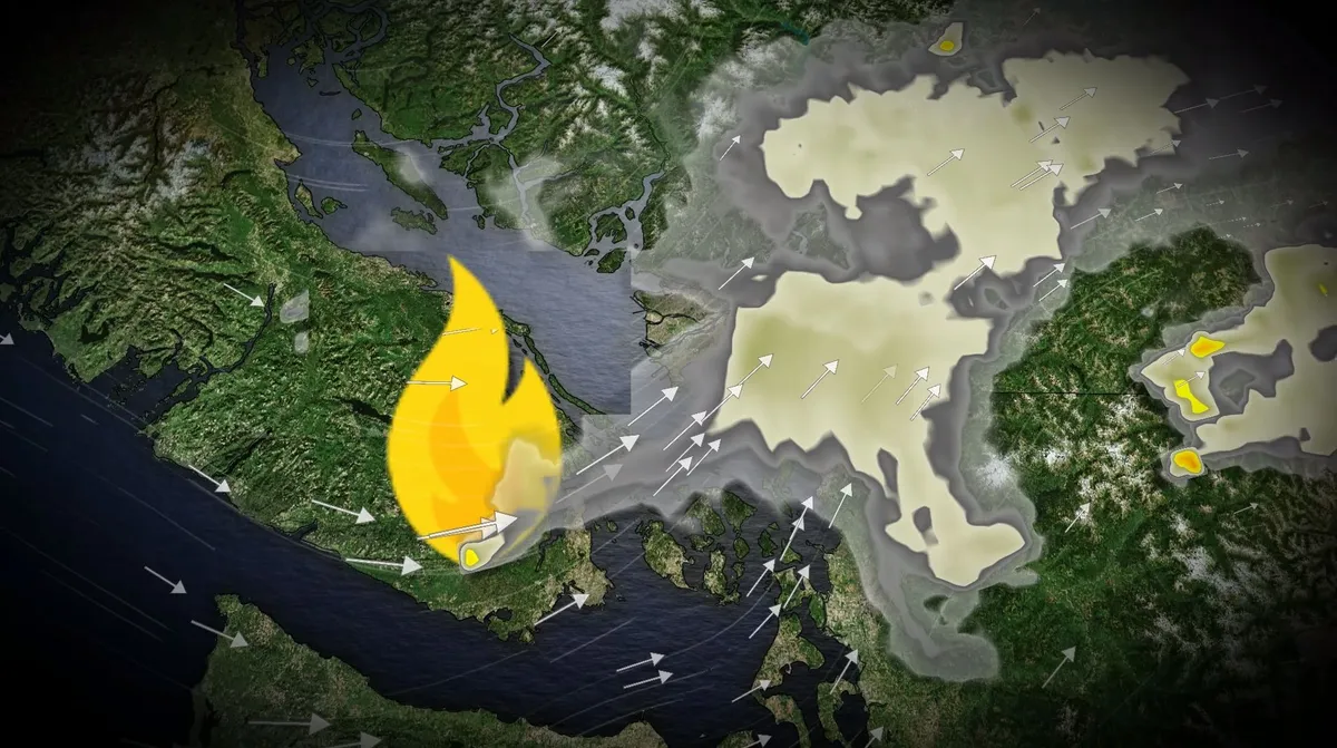
Persistent dry conditions across British Columbia have allowed the wildfire season to extend into the start of fall. The Mount Jack wildfire, discovered Sunday west of Victoria, remains out of control, as rainfall in the region has been well below average. DON'T MISS: Warmer fall in B. C. may turn active with alpine snow chancesIn Vancouver, only 2.5 mm of rain has been recorded in September so far, significantly below the monthly average of 51.9 mm. Victoria has seen just 1.8 mm, compared to a typical 35.7 mm. Air quality to deteriorate across the Lower Mainland WednesdayWinds from the southwest are expected to push wildfire smoke into the Lower Mainland by Tuesday evening, with air quality deteriorating across the region by Wednesday morning. However, a cold front arriving Wednesday evening is forecast to bring light showers, which should help ease fire conditions. DON'T MISS: Canada officially welcomes fall with early signs of...snow? A low pressure system over Washington will also draw Pacific moisture to B. C.’s southern coast. Content continues belowAfter an 18-day stretch without measurable rain in Vancouver, the return of rainfall will be beneficial.

The Weather Network·
Weather

Japan's Typhoon Dujuan kills at least 5, forces mass evacuation

Typhoon Dujuan kills at least 5, forces mass evacuation in JapanIn Japan, Typhoon Dujuan has triggered deadly flooding and landslides. The aftermathAt least five people have died, and the county is now faced with significant damages left in its wake. Authorities urged nearly 2 million residents to evacuate due to an "imminent threat to life.”More than 20 people have been injured and there is an ongoing search for those missing. Several homes collapsed by the landslides. Local reports say mud flowed into a home, killing a woman in her 60s. Nearly 60,000 people lost power, and hundreds of flights were canceled, causing travel chaos. Get More of Our News on GoogleSet The Weather Company as a 'Preferred Source' to get quicker access to the news you value. Police tape restricts access to a narrow residential street where a retaining wall collapsed following heavy rain brought by Typhoon Dujuan in the Naka-Meguro area of Tokyo, Japan, Sept. 22, 2026. A vehicle damaged by debris is seen behind the restricted area.(David Mareuil/Anadolu via Getty Images)El Niño impactsThe typhoon brought torrential rain and violent, 89-mph winds. On Tuesday morning, it began moving away from Japan.

The Weather Channel·
Weather

Bryan Norcross: Another Atlantic potential development area and Polo reaches Category 5 near Mexico

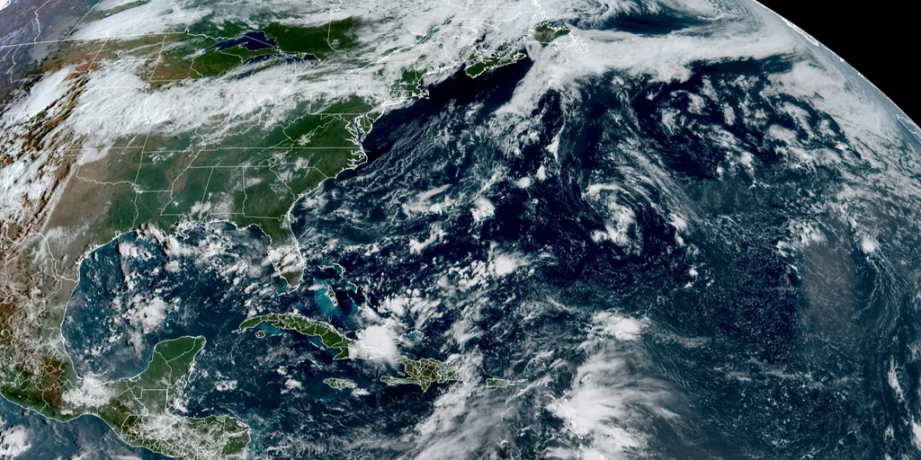
Last updated at 9 a.m. on Sep. 22, 2026In the AtlanticTropical Storm Fay is fading fast. It is succumbing to hostile upper-level winds, and is forecast to be history by tomorrow. The National Hurricane Center is drawing a potential development area off the African coast. A robust disturbance forecast to move into the Atlantic tomorrow has a chance to develop. The El Niño-driven prohibitive upper winds don't quite reach that corner of the Atlantic, although the atmospheric environment is still marginal. LATEST FROM FOX WEATHER HURRICANE SPECIALIST BRYAN NORCROSS Atlantic Basin on Sep. 22, 2026. (FOX Weather / FOX Weather)The National Hurricane Center is putting low odds on the system becoming a tropical depression, but we'll see what happens once it comes across the coastline. In any case, the consensus of the computer forecast models is that it will turn north and track just offshore of the African coast. There's a chance it will add to the 2026 record book, but preliminarily the only threat appears to be heavy rainfall in Senegal and Mauritania along the West Africa coast.

Fox Weather·
Weather

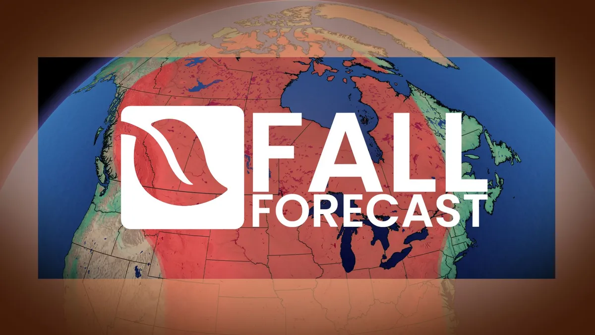
Winter can wait: Exceptional El Niño favours an extended fall

Fall is Canada’s ultimate transition season, but an exceptional El Niño will slow that transition considerably. Autumn begins with echoes of summer and ends on winter’s doorstep. The question is how quickly we move through the season ahead. DON'T MISS: Meteor shower season is about to begin! We’re favouring more mild spells than cold snaps, fewer classic fall storms, and a delayed arrival of persistent winter conditions. But be warned, the door remains open to a couple of significant pattern changes. Fall 2026: The long road to winterOne of the strongest El Niño events ever observed is intensifying in the tropical Pacific, setting the stage for a more gradual transition through fall across Canada. But not even the strongest El Niño can stop Canada’s inevitable temperature slide through fall. Cooler temperatures eventually win. Sorry, summer lovers, but this year, El Niño will put up a formidable fight. RELATED: Today marks the first day of fall.

The Weather Network·
Weather

Brutal heat wave grips Europe

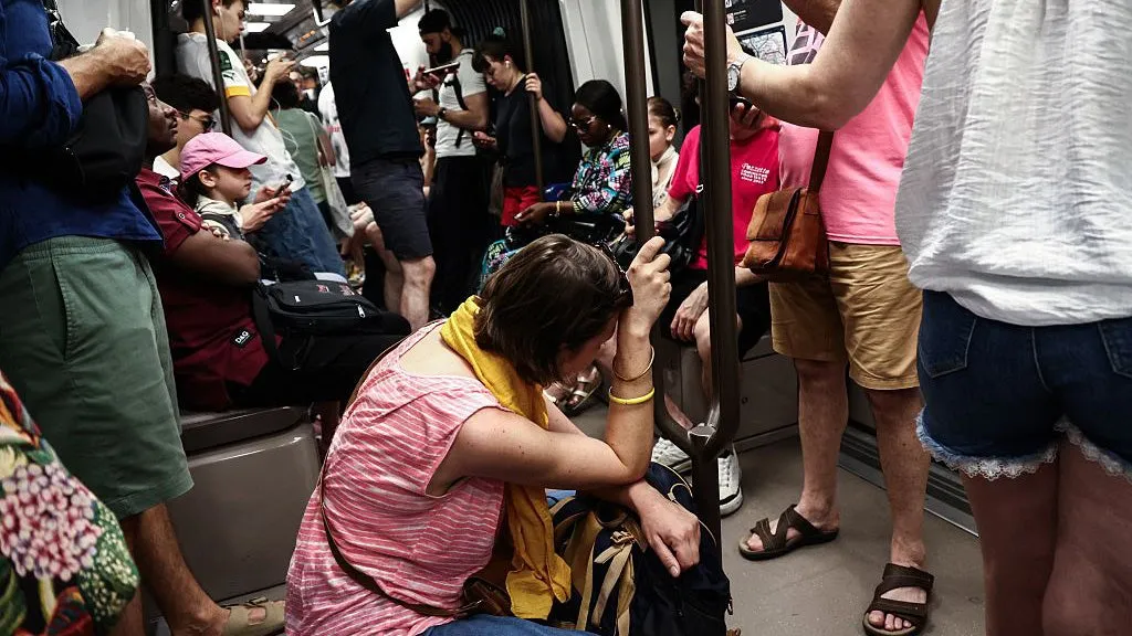
Paris bakes as heat wave turns deadlyThe punishing and record-breaking heat wave across Europe has turned deadly. On Monday, two children aged 2 and 4 died after locking themselves in their family’s car in southern France, according to a public prosecutor in the town of Carpentras. Dozens of drownings were also reported over the weekend in France and Germany as people tried to find relief in rivers and lakes. French Prime Minister Sébastien Lecornu said that 40 people died by drowning since last Thursday and the victims were mainly young people.(MORE: Heat wave threatens all-time June records)Nearly half of France is under a red heat wave alert Tuesday – 54 “departments” or regions, an “unprecedented number” according to Météo-France, the country’s weather agency. Hundreds of schools were closed Monday as temperature hit 111°F in some parts of the country. Parents of students at one school in western France covered school windows in chalk to try to block out some of the sun and heat.

The Weather Channel·
Weather

Two pilots die in Yosemite National Park helicopter crash

This photo provided by the National Park Service shows the Dome Fire burning in Yosemite National Park on Wednesday, September 16, 2026.(National Park Service via AP)Two helicopter pilots were killed when their aircraft crashed Sunday afternoon while conducting water drops on a wildfire at Yosemite National Park, officials say. The pilots were the only people on board. They were employed by the contract aircraft company Precision. One of the pilots was Greg King, who used to work for the Alaska Division of Forestry & Fire Protection and fought several wildland fires in that state before moving to Precision, agency spokesperson Emery Johnson said. King's close relatives work at the agency and gave their permission to release his name, Johnson said. The identity of the second pilot has not yet been released.(INTO THE INFERNO: What it feels like inside of a wildfire)At least 14 people have died while helping with wildfires in the U. S. this year, the most since 2022 when 25 deaths were recorded, according to government reports. In August, two helicopter pilots died while helping fight a fire in Utah and a helicopter pilot in Colorado crashed into a reservoir.

The Weather Channel·
Weather

Developing nor'easter threatens millions along East Coast with dangerous coastal flooding, powerful winds

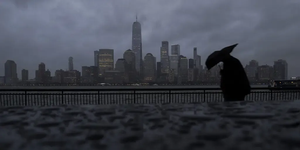
Coastal flood and wind threats begin to escalate ahead of first fall nor'easter The first nor'easter of the fall is developing, bringing gusty winds and rain to parts of the Mid-Atlantic as winds and coastal flooding increase through Wednesday. The storm is expected to emerge off the coast toward the end of the week and is expected to bring pounding surf, strong winds and severe beach erosion as the weekend progresses. THE TAKEAWAYCoastal flood risk will increase through the workweek from North Carolina's Outer Banks to New England as a nor'easter develops. The storm could bring high surf, strong winds, coastal flooding and severe beach erosion this weekend. Significant risk of storm surge this weekend if the storm tracks near the coast. The first nor'easter of the fall is developing, bringing gusty winds and rain to parts of the Mid-Atlantic as winds and coastal flooding increase through Wednesday. The storm is expected to emerge off the coast toward the end of the week and is expected to bring pounding surf, strong winds and severe beach erosion as the weekend progresses.

Fox Weather·
Weather

Why does it smell so good after it rains? Meet petrichor

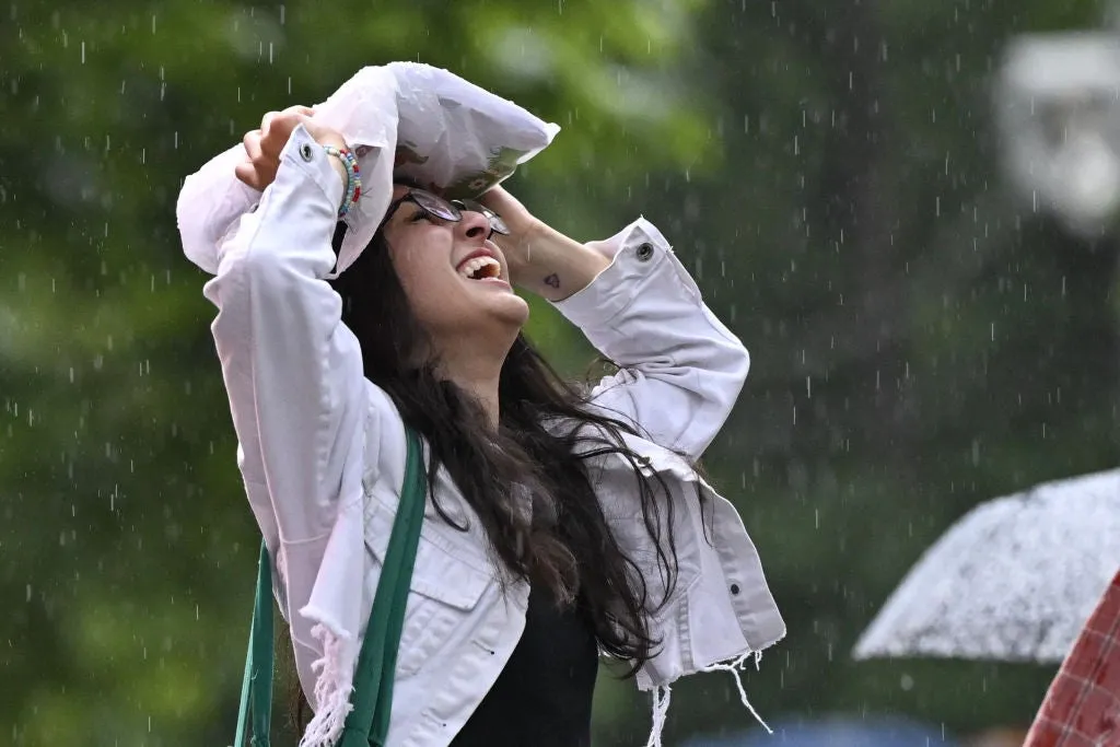
The smell of rain has a name; you're actually smelling three thingsThere is a very particular smell that happens when it rains, and it has a name: petrichor. It actually isn’t just one smell. There are three, and they come from totally different places. What are the three smells? The term petrichor was coined by Australian scientists in 1964 to describe the earthy and recognizable smell linked to rain. Let’s break down the three smells you are experiencing: Ozone: This almost metallic smell occurs when lightning strikes split oxygen and nitrogen molecules. These recombine into nitric oxide and ozone. The ozone molecules are brought down to the surface by downdrafts from powerful storms. Multiple lightning strikes are seen during a summer nighttime thunderstorm near the city of Thessaloniki, as seen from Kalochori Lagoon in Delta National Park in Northern Greece. Lightning strikes create ozone molecules which are then brought to the surface via downbursts. Ozone has an almost metallic smell to it and is one of the components of petrichor. (Getty Images)Geosmin: The earthy note comes from bacteria in the soil. They create compounds that our noses detect.

The Weather Channel·
Weather

Fat Bear Week 2026 bracket, dates and how to vote online

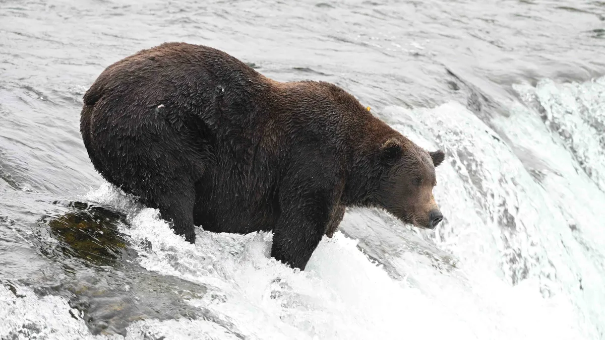
Fat Bear Week is back, and it’s about to get bear-y competitiveIt’s about to get bear-y competitive in Alaska’s Katmai National Park. Fat Bear Week 2026 is back, and this year you’re not just voting for your favorite chunky champion. You can fill out a Fat Bear Week bracket, follow the matchups and play live-cam bingo while watching some of Alaska’s biggest brown bears do what they do best: eat. Get your Fat Bear Week bracket readyThink March Madness, but make it bears. Sixteen of the biggest, beefiest brown bears have been selected to compete in this year’s single-elimination Fat Bear Week tournament. Your job is simple: Look at each head-to-head matchup and vote for the bear that best represents “fatness and success” in preparing for winter hibernation. The matchups can be found over at FatBearWeek.org. Get More of Our News on GoogleSet The Weather Company as a 'Preferred Source' to get quicker access to the news you value.(MORE: Bears can eat 20,000 calories a day to pack on the pounds)The competition includes mothers with cubs, single females and single males. And yes, last year’s champion, 32, also known as “Chunk,” is back to defend his title. Fat Bear Week voting runs Sept.

The Weather Channel·
Weather

Fall 2026: Meteor shower season is about to begin!

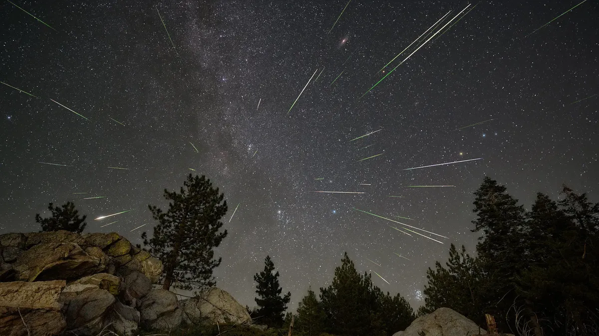
As the nights grow longer and cooler throughout Autumn, it is an excellent time of year for stargazing, and for spotting meteors flashing across the sky almost every night of the season. Here are the astronomical events of Fall 2026:Visit our Complete Guide to Fall 2026 for an in depth look at the Fall Forecast, tips to plan for it and much more! Fall EquinoxOn the night of September 22, at exactly 7:05 p.m. EDT, the Sun will appear directly above the equator, as it transitions from the northern to the southern sky. This moment marks the Autumnal Equinox and the start of astronomical fall for the northern hemisphere. Meanwhile, in the southern hemisphere, it will be the Vernal Equinox and the start of astronomical spring. So, what does it mean for the Sun to appear directly above the equator? Due to the tilt of our planet's axis, for nearly the entire year, the position that's directly under the Sun — known as the 'subsolar point' — is either north or south of the equator. The locations of the subsolar points on the Equinoxes and Solstices for 2026 shows where the Sun's rays shine directly down onto the planet at those dates and times.

The Weather Network·
Weather

Historically quiet Atlantic hurricane season shatters century-old record amid brewing Super El Niño

THE TAKEAWAY1914 and 1907 are the only years without a recorded Atlantic hurricane. The Atlantic is off to its quietest start on record in the satellite era (1966). El Niño is the main driving factor behind the dearth of Atlantic tropical activity, with a 97% chance of Super El Niño forming later this year. The Atlantic Basin hasn't seen a single hurricane at this point in the season for the first time in 112 years, the last "year without a hurricane. "Hostile El Niño-driven winds have suppressed the Atlantic season, with just five named storms and no hurricanes thus far and El Niño potentially approaching historic strength later this year. TROPICAL STORM FAY KEEPS CHURNING IN ATLANTIC, BUT ITS SHOT AT BECOMING A HURRICANE IS FADINGLatest first hurricane formation(FOX Weather) The FOX Forecast Center said 1914 and 1907 are the only years without recorded hurricanes. However, as FOX Weather Hurricane Specialist Bryan Norcross notes, hurricanes could have formed in those years that went undetected because they remained far from land and ships at sea.

Fox Weather·
Weather

El Niño just broke a historic temperature record — and it’s still intensifying

THE TAKEAWAYEl Niño water temperatures surpassed a historic benchmark. As of Sept. 20, the Oceanic Niño Index (ONI) stands at +3.04°C, surpassing the warmest value recorded since daily records began in 1982. The last warmest value was recorded in November 2015 at +3.02 °C. El Niño water temperatures surpassed a historic benchmark Sunday as the climate pattern continues to intensify ahead of the upcoming winter. POWERFUL WAVES BATTER SOUTHERN CALIFORNIA COAST, DAMAGING HOMES AND TRIGGERING SINKHOLEAs of Sept. 20, the Oceanic Niño Index (ONI) stands at +3.04°C, surpassing the warmest value recorded since daily records began in 1982. El Niño water temperatures.(FOX Weather) According to the FOX Forecast Center, the last warmest value was recorded in November 2015 at +3.02 °C. HOW TO WATCH FOX WEATHEREl Niño is measured in two primary ways. The first way is through ONI, which measures water temperatures compared to a 30-year average. However, ONI is the old method for measuring El Niño's intensity and has since been retired by NOAA. Rocks and cobblestones line Tamarack Beach on Wednesday, Sept. 2, 2026 in Carlsbad, California.

Fox Weather·
Weather

Return of the Heat Dome: A Late-Season Heatwave Expands Across Europe into Early October

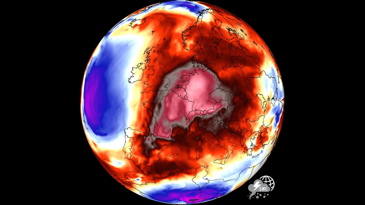
A massive Heat Dome is making a dramatic return across Europe as September draws to a close, setting the stage for an unseasonably warm spell that will stretch into early October. A powerful upper-level ridge building north from the Mediterranean and North Africa is driving a warm plume northward. Significant 850 hPa temperature anomalies will locally climb 8 to 12 °C above long-term averages and will overspread vast portions of Western, Central and Northern Europe. The primary engine behind this late-autumn thermal surge is a classic atmospheric dipole pattern. A deep, high-amplitude upper-level trough will establish over the North Atlantic and force an intense southerly jet stream plume to advect warm, tropical air deep into continental Europe. Beneath the core of this expansive blocking ridge, strong atmospheric subsidence is compressing and warming the lower atmosphere, suppressing cloud cover and driving afternoon surface temperatures well into the upper 20s and peaking into the low 30s in some areas. This is extremely warm for late September or early October.

Severe Weather Europe·
Weather

State of emergency declared for California ahead of El Niño

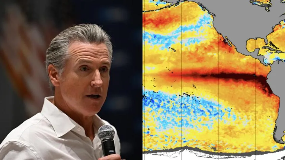
(Peter Zay/Anadolu via Getty Images)Gavin Newsom, the governor of California, declared a state of emergency for the entire state on Monday morning ahead of what is likely to become a historic El Niño. "I find that conditions of extreme peril to the safety of persons and property exist due to the developing El Niño event," the declaration states. This state of emergency is not an announcement that an emergency is already ongoing, but a statement of preparation for the storms that are ahead this winter. The declaration mobilizes state-level resources to support local mitigation and recovery efforts, while streamlining the procurement of resources needed to prepare for El Niño's impacts. “We are not waiting for this season’s storms to be on our doorstep,” said Cal OES Director Caroline Thomas Jacobs in a statement from the governor's office. (MORE: When Mother Nature strikes, local government goes to work)Get More of Our News on GoogleSet The Weather Company as a 'Preferred Source' to get quicker access to the news you value.

The Weather Channel·
Weather

1,000-year-old coral is telling us a lot about El Niño

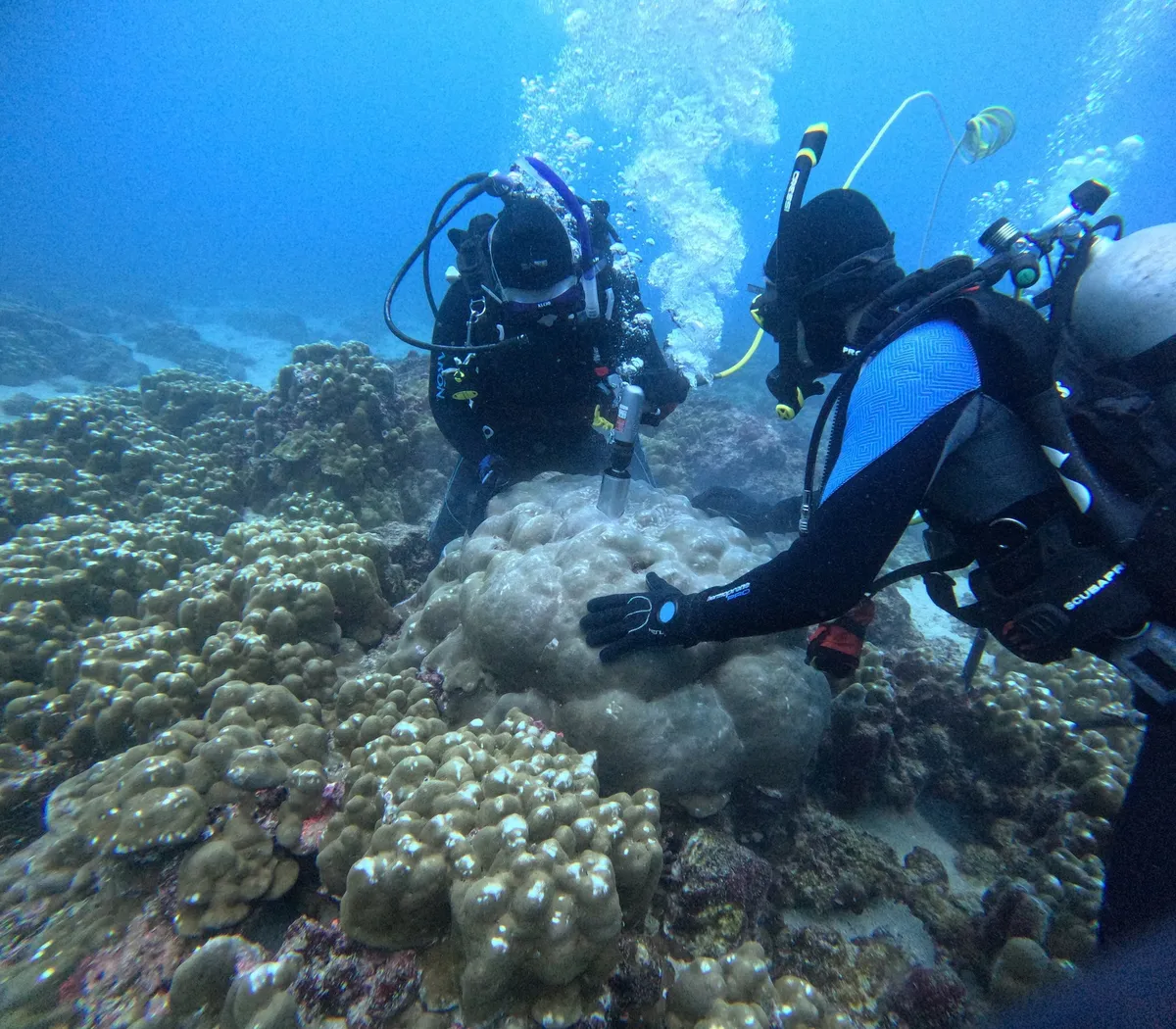
(Julia Cole, University of Michigan)In the warm Pacific waters off the Galápagos Islands, a coral colony has been keeping a diary of the ocean since the year 1000. Every year, its new growth layer locked in a chemical fingerprint of the ocean temperature at the time. Scientists have just finished reading a thousand of those layers, and what they found is telling us so much about this winter’s El Niño. Reading the ocean's diaryThe team of scientists drilled cores out of 13 coral colonies, a mix of living reefs and long-dead coral boulders, across five Galápagos Islands. Inside each core, they measured two chemical ratios — strontium-to-calcium and oxygen isotopes.(MORE: What a historic super El Niño ahead means for your fall and winter)Acting as a built in thermometer, the ratios shift depending on how warm or cool the water was when that sliver of coral grew. Then scientists were able to string the data from those readings together, revealing temperature records stretching from the year 1000 up to 2015. Get More of Our News on GoogleSet The Weather Company as a 'Preferred Source' to get quicker access to the news you value.

The Weather Channel·
Weather

Bryan Norcross: Tropical Storm Fay spins in the Atlantic while coastal Mexico goes on alert for Polo

Tropical Storm Polo to rapidly intensify into major hurricane and fuel U. S. Southwest flood threat Tropical Storm Polo formed late Sunday off southwestern Mexico, and is expected to rapidly intensify into a hurricane by late Monday with moisture from Polo forecast to enhance the flood threat across the U. S. Southwest beginning Tuesday. This comes amid a rapidly strengthening El Niño which has supercharged the Pacific, producing 18 named storms across both the Central and Eastern parts of the basin with more than two months remaining in the hurricane season. Last updated at 9:30 a.m. on Monday, Sept. 21, 2026. IN THE ATLANTICTropical Storm Fay flared up and briefly threatened to become a hurricane, but it appears to have missed its chance. The storm is in the middle of the Atlantic and is driving into hostile territory. It's forecast to die out tomorrow. TROPICAL STORM FAY KEEPS CHURNING IN ATLANTIC, BUT ITS SHOT AT BECOMING A HURRICANE IS FADING Tropical Storm Fay spins in the Atlantic. (Bryan Norcross / FOX Weather)It's extremely unusual, of course, to get this far into the season with the Atlantic hurricane-free.

Fox Weather·
Weather

Fall equinox brings chance to see zodiacal light before sunrise

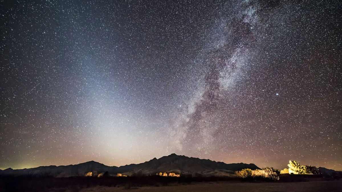
Don’t let ‘false dawn’ fool you! Why the sky may brighten before actual dawnWith the fall equinox approaching, skywatchers have an opportunity to spot a celestial phenomenon called a "false dawn. "Also known as zodiacal light — meaning "light from the circle of animals" — this is a soft, hazy, glowing pyramid shape, appearing from the horizon. It’s caused by sunlight being scattered by dust in the solar system. A comparison of how false and true dawn appear in the sky. When to look for zodiacal lightZodiacal light is visible just before sunrise — "true dawn" — which is how it got its name. The sweet spot is about 90 minutes before the sun makes an appearance. This display is visible all of September and October, but it’s easiest to notice around the equinox on Sept. 22.(MORE: Meteorological fall vs. fall equinox: Which is the best and why?)Get More of Our News on GoogleSet The Weather Company as a 'Preferred Source' to get quicker access to the news you value. That’s because the ecliptic, the path the sun takes around the Earth, is angled to the horizon in a way that brings the glow even higher in the sky.

The Weather Channel·
Weather

This cookie started as a plastic bottle — and might feed astronauts

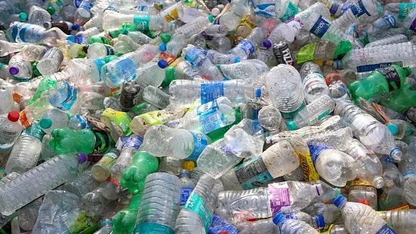
This cookie is made using waste plant materials and plastic and could feed humans everywhere from submarines to spaceships.(SIU Carbondale Communications)When you pull out your favorite cookie recipe, you probably won't find plastic as one of the ingredients — but scientists have found a way to transform your trash into treats that could help solve problems from Earth to outer space. Researchers at Southern Illinois University Carbondale began working on this as part of a NASA-led project interested in producing food for astronauts who wouldn't have access to many resources. Unfortunately, DoorDash doesn't deliver to deep space. The first step was making a vital but simple connection: Plastic is carbon and food is carbon. So, how does this work? It all starts with one of the most common forms of plastic, polyethylene terephthalate (try saying that three times fast). This material, also known as PET, is often used to make soda and water bottles. PET contains carbon-rich molecules that can be broken down and repurposed into useful compounds. And while this seems like a process that could be energy-intensive and not exactly eco-friendly, these scientists were one step ahead.

The Weather Channel·