BBlogFlow

Categories

Weather

2840 articles

Weather

Hurricane glossary: Terms and definitions you need to know

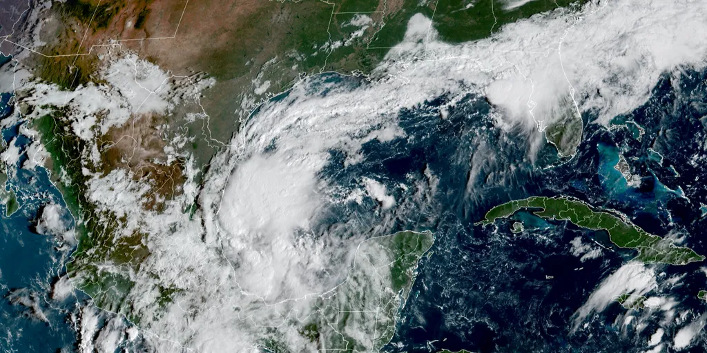
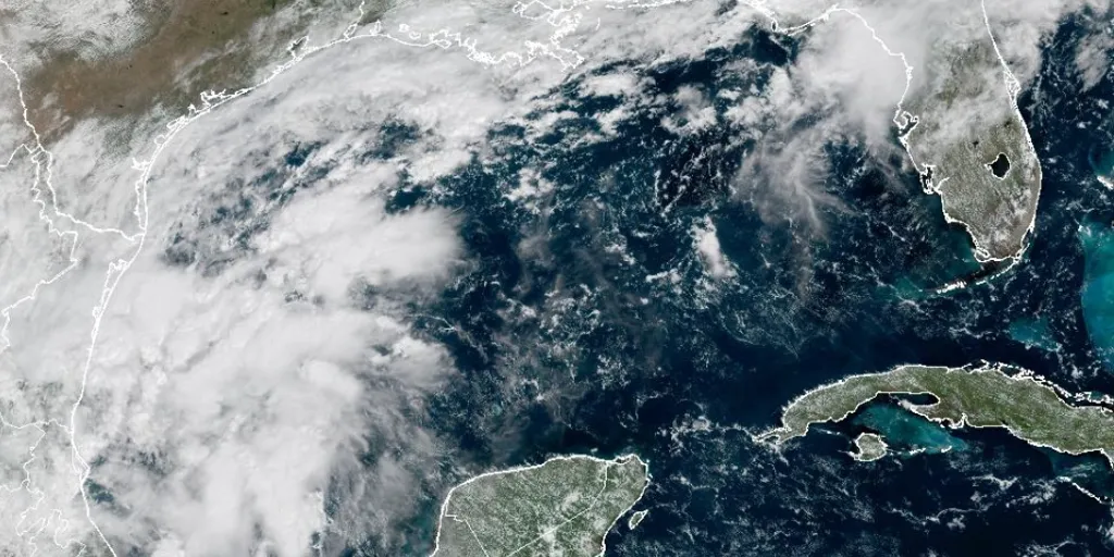
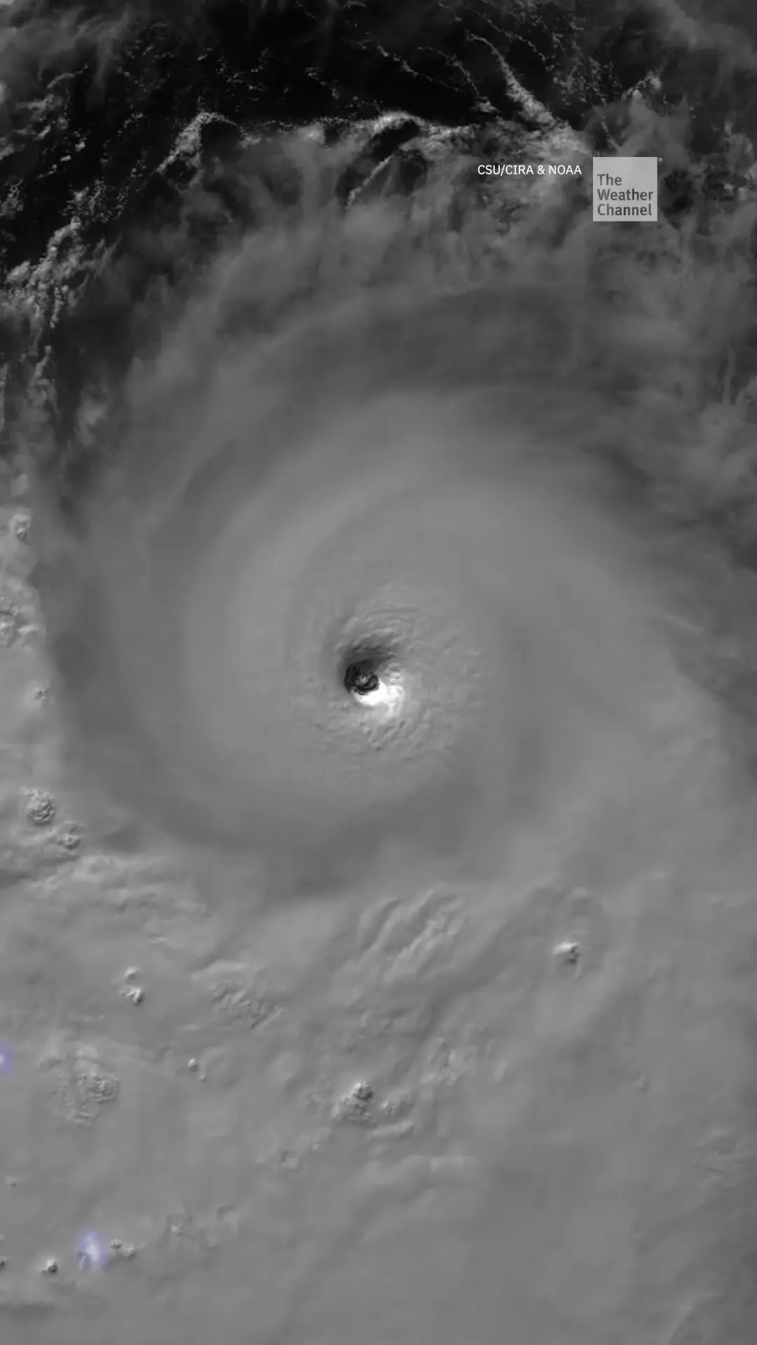
The life cycle of a hurricane, from beginning to endEach hurricane season, you hear a variety of terms meteorologists use to describe tropical weather. It's easy to get confused by all the jargon. So, here is a quick glossary of what each of these terms means — and you can check back with it during our coverage this season. Types of stormsTropical cyclone - The catch-all name for any tropical depression, storm, hurricane, typhoon (what hurricanes are called in the Northwest Pacific basin) or cyclone (what hurricanes are called in the South Pacific and Indian Ocean basins). These systems have well-organized thunderstorms around a closed low-level center and derive their energy from warm ocean water. Tropical depression - This tropical cyclone has maximum sustained winds of 38 mph or less. Tropical storm - When maximum sustained winds reach 39 mph, the system is called a tropical storm, and gets the next name in the official name list for that basin in that year. A tropical storm can have maximum sustained winds of up to 73 mph. This map shows the position of Tropical Storm Arthur on the evening of June 17, 2026 near the Texas coast, along with an infrared satellite image at the time
The Weather Channel·
Weather

Hurricane Rachel forecast to turn back toward land, bringing dangerous surf to California as Simon looms

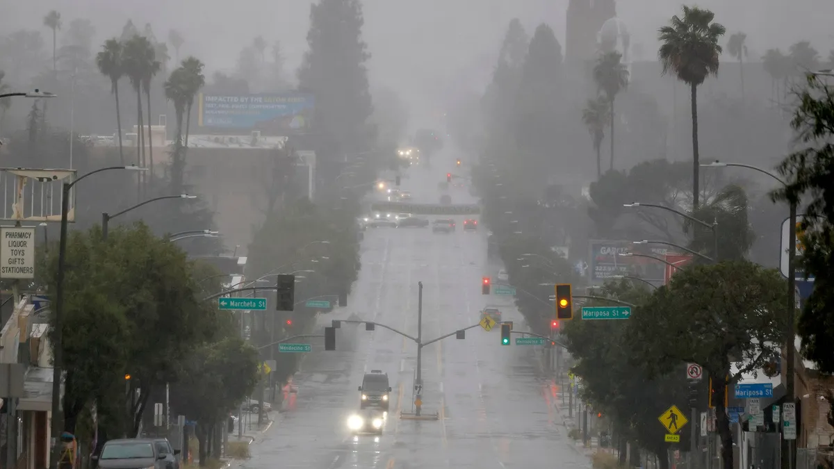
Hurricane Rachel to turn back toward land, bringing dangerous surf to California as Simon looms Hurricane Rachel is weaking in the open Pacific but is forecast to make a sharp turn back toward land later this week, potentially bringing more life-threatening surf to Southern California after swells from Hurricane Marie caused coastal erosion in the same area last month. Meanwhile, Invest 92E off southern Mexico is expected to strengthen into Tropical Storm Simon later this week. The National Hurricane Center (NHC) is also monitoring another area for tropical development behind Invest 92E and is currently giving this system low odds of developing over the next seven days. THE TAKEAWAYHurricane Rachel is weakening but is forecast to make a sharp turn back toward land later this week, potentially bringing life-threatening surf to Southern California. Simon is expected to form this week, becoming the 21st named storm of the season and could dump heavy rain on Mexico. El Niño has supercharged tropical development across the Pacific, with a Super El Niño expected to be declared later this year.

Fox Weather·
Weather

Coastal flooding risks: storm surge, erosion and flood zones

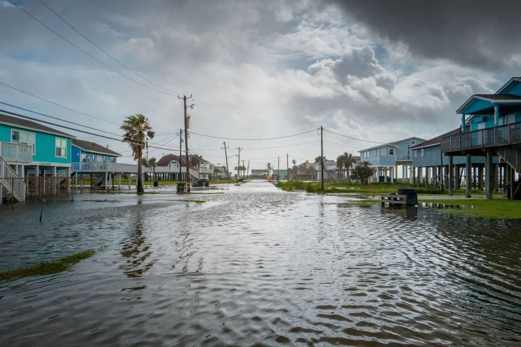
Why coastal flooding is a risk even if you don't live on the beachIf you own property in a coastal city, coastal flood safety is worth knowing — whether your house sits on the beach or ten minutes inland, and whether or not there's a hurricane anywhere near you. It doesn't just take a tropical system or nor'easter to cause flooding near you. A routine high tide on a clear day or heavy rain that simply has nowhere to drain can still pack a punch. Different causes, same water, same risk to your property. And beyond the flooding itself, there's erosion quietly reshaping your flood zone and insurance gaps that only show up after the damage is done. Know your surge zoneWhen forecasters say storm surge could reach "X feet above ground level," that number is measured against normal high tide — not your elevation, and not how far you feel like you live from the ocean. A 6-foot surge doesn't stop at the boardwalk. It travels up rivers, canals and storm drains into neighborhoods that don't think of themselves as "coastal" at all. It matters for insurance too: standard homeowners policies don't cover storm surge. That requires separate flood insurance, based on your official flood zone.

The Weather Channel·
Weather

Why the danger from tropical systems doesn't end at the coast

Why hurricanes are still deadly far away from the coastWhen a tropical system makes landfall, it is far from the finish line in terms of impacts. About 25% of deaths from hurricanes and tropical storms do not occur at the coast. But if the wind speed weakens after landfall, why is this the case? We break it down here:Q: Why do storms weaken when they reach land? A: Hurricanes and tropical storms are basically giant heat engines, and warm water is their fuel. When the ocean surface is warm, lots of water evaporates into the air. As the air rises, it condenses into clouds, releasing heat — essentially allowing the storm to sustain itself. This allows storms to continue to build their strength over warm ocean waters, but that also means they weaken once they lose access to that fuel over land.(MORE: The 3 longest-lived storms in the Atlantic)Q: If the storm weakens inland, why is it still dangerous? A: This is because all the moisture the storm already pulled up from the ocean doesn't just vanish. It gets released in the form of torrential rain and flooding — sometimes for days and hundreds of miles from the coast. Damaging winds and tornadoes can also continue to be a threat.

The Weather Channel·
Weather

How to protect your boat now before the next hurricane

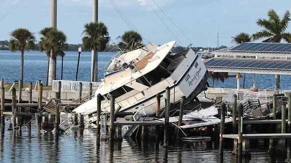
Hurricane boat prep checklist: what every boat owner should do nowDon’t let the slow start to hurricane season this year fool you — if you own a boat, the hurricane prep plan you build now is the difference between a repair bill and a total loss. Despite the fact that hurricanes are categorized by their wind strength, water is the biggest killer during these events. For boats, storm surge is the biggest danger. “Hurricane Ian, for example, had a storm surge in excess of 20 feet in some areas on the west coast of Florida, which displaced well over 7,000 vessels," says Michael Root, head of TowBoatUS.(MORE: 8 key things experts want you to know about hurricane season)Root explains, "In a comparison between the three, Hurricane Ian was significantly more devastating for the boating community because of the massive storm surge, which was not replicated with Helene or Milton. "Once a storm is named, it can be too late, so here’s what every boat owner should do now to protect their vessel. Get More of Our News on GoogleSet The Weather Company as a 'Preferred Source' to get quicker access to the news you value. Haul out or stay?

The Weather Channel·
Weather

Growing potential for Invest 92L to intensify into Hurricane Isaias as data reveals its track uncertainty

THE TAKEAWAYInvest 92L is likely to strengthen into a tropical depression in the southern part of the Gulf later this week. Wednesday will be a crucial day for determining the system's development. Even if the system does not become tropical, the Gulf Coast could see another round of heavy rain and potential flash flooding this weekend. A tropical depression is likely to form in the southern Gulf this week amid the quietest start to an Atlantic hurricane season since 1966, the start of the satellite era, with no hurricanes having formed this year. THE LATEST FROM FOX WEATHER HURRICANE SPECIALIST BRYAN NORCROSSTracking Invest 92L.(FOX Weather) The National Hurricane Center (NHC) has designated a brewing tropical disturbance as Invest 92L, and is giving the system high odds of becoming at least a tropical depression over the next two days. From there, how strong this storm becomes and exactly where it tracks still remains an open question. WHAT IS AN INVEST DURING HURRICANE SEASON? The term "invest" is used every hurricane season in the Atlantic and the Eastern and Central Pacific basins, accompanied by a number from 90 to 99 and either the suffix "L," "E" or "C," respectively.

Fox Weather·
Weather

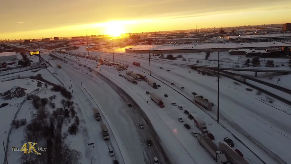
Widespread frost warnings issued for southern Ontario

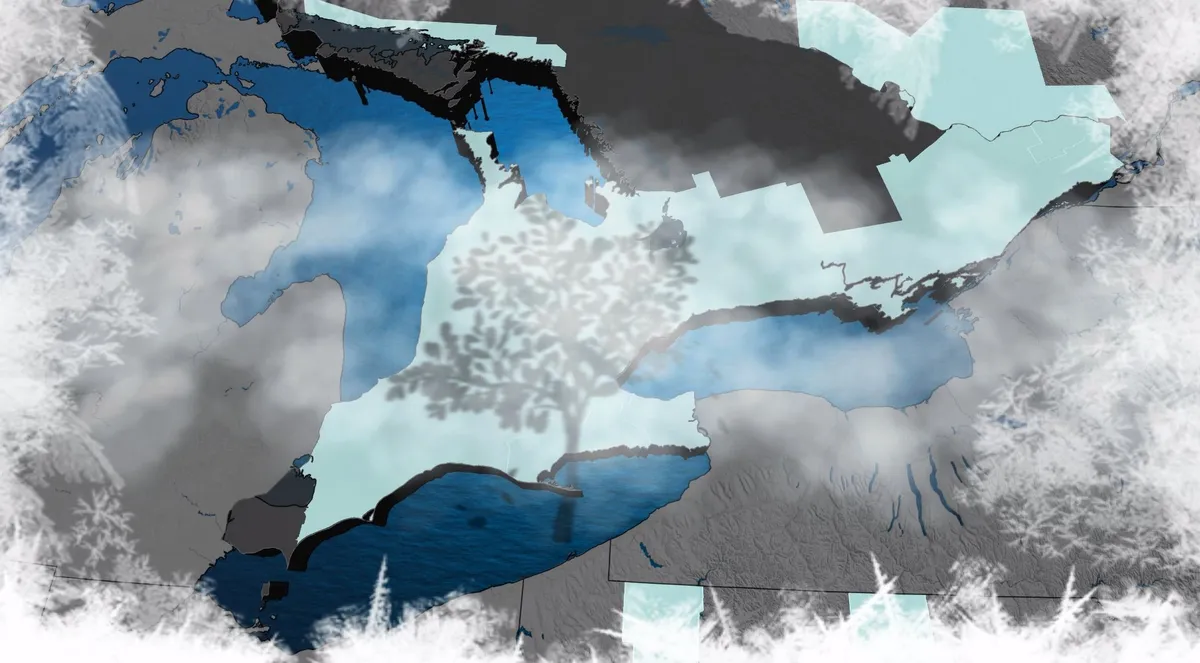
Below-seasonal temperatures settle over southern Ontario as a cool, northwesterly flow continues. Daytime highs remain up to 5°C below average through Tuesday, with overnight lows dipping to around 0°C. DON'T MISS: First blizzard warning of the season for major Canadian highwayClear skies and light winds Monday night into Tuesday morning will create ideal conditions for the season's first frost formation across the region. Bancroft is forecast to drop to -2°C, marking its coldest overnight low since May 22. This is also the first frost risk of the season for the Greater Toronto Area (GTA). While the frost poses potential impacts to plants, trees and crops, the risk diminishes for the remainder of the week as temperatures stay below seasonal, but remain higher overnight. Residents are advised to protect sensitive vegetation and monitor local frost advisories. DON’T MISS: With a 'super' El Nino, does that guarantee late-fall warmth in Canada? Much warmer air currently sitting just south of the border may attempt to surge into parts of Canada during the Thanksgiving weekend, potentially bringing milder temperatures than originally forecast.

The Weather Network·
Weather

Leaf piles can hide ticks: What to know before you rake

Leaf piles are a fall favorite, but ticks love them tooNothing screams fall like jumping into a big pile of leaves, except for when you realize what’s hiding in there — a bunch of ticks. And not just any kind of tick, blacklegged ticks, also commonly known as deer ticks, which are the primary carriers of Lyme disease. A visualization of a blacklegged tick, also known as a deer tick, which can carry Lyme disease.(Lisa Pringle)If you’re anything like me, your skin is already crawling just thinking about it. But, don't worry, there are some easy things you can do to keep your yard, your family and your pets safe this fall. A perfect tick paradiseSo, why do deer ticks love leaf piles? There are two key factors that help the little buggers survive and thrive: shade and moisture. Get More of Our News on GoogleSet The Weather Company as a 'Preferred Source' to get quicker access to the news you value. Ticks are sensitive to sunlight and dehydration. They rely on humidity to stay hydrated by absorbing water from the air through their shell.(MORE: When you should bring houseplants inside for fall)So, open, sunny areas, like the center of your yard, will likely not have many ticks.

The Weather Channel·
Weather

New Atlantic system could become the basin's first hurricane this season

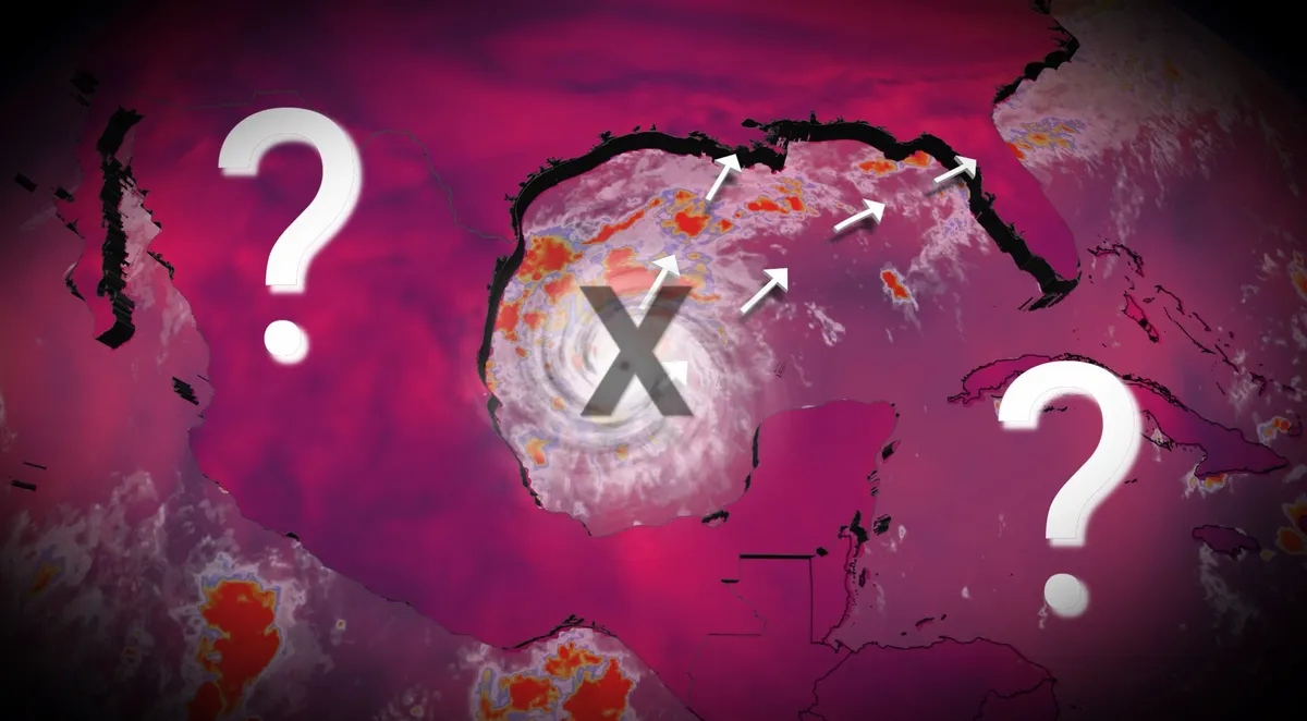
While there is still some time to go before we reach the end of the Atlantic season (Nov. 30), we still are awaiting the first hurricane, an occurrence that already has set a record for the latest in the year (if it does happen). The lack of hurricanes can at least be partly blamed on a "super" El Niño in progress. During typical El Niño years, hurricane development is usually surpressed given the amount of wind shear present in the Atlantic basin. However, a new disturbance that has developed in the Gulf of Mexico is likely to become a named storm in the coming days, taking on Isaias, with some models hinting that it could reach hurricane status to become the Atlantic basin's first of the season. Isaias is next on the 2026 Atlantic names listAs of Oct. 5, there have been eight recorded tropical storms and zero hurricanes. An area of low pressure is expected to form over southwestern Gulf over the next 48 hours, with the U. S. National Hurricane Center (NHC) giving it a 60 per cent chance. The potential for a tropical depression forming in the middle of the week or onwards is up to 80 per cent.

The Weather Network·
Weather

4.2-magnitude earthquake strikes off the B.C. coast, no tsunami threat

A minor earthquake was recorded in the Pacific Ocean off the coast of B. C. on Monday, but it posed no tsunami threat and there were no reports of damage or injuries. The 4.2-magnitude tremor on Monday was recorded at a depth of 10 kilometres, occurring 228 kilometres west of Port Hardy, B. C., according to Earthquakes Canada/Natural Resources Canada. Meanwhile, the United States Geological Survey (USGS) said the tremor had a 3.9 magnitude, occurring 247 kilometres west-northwest of Port McNeill, B. C. It also has the tremor registering at a depth of 10 kilometres. This is the fourth earthquake that has registered a magnitude higher than 4.0 in that area since late September, occurring in the Haida Gwaii seismological region, which is situated along the Pacific's Ring of Fire.

The Weather Network·
Weather

The West’s best shot at snowpack recovery comes from El Niño

El Niño could boost Lake Mead, Lake Powell and the Sierra snowpackAfter years of diminishing winter snowpack and lowering lake levels in the West, El Niño could make this the year to recharge those reservoirs, including California’s watershed, and lakes Mead and Powell. Supercharged pipeline of moistureThe Sierra Nevada and the Rockies are likely to see a lot of help from a jet stream called the Pineapple Express. This rainmaking "firehose" is a direct movement of moisture from around Hawaii to the West Coast of the U. S. and Canada during the winter months. It is naturally occurring and is a frequent cause for flood concerns and mountain snow in California. El Niño tilts the odds toward a wetter, more active Pacific storm track. El Niño’s heat across the Pacific warms the atmosphere and allows it to hold more moisture to be transported toward North America.

The Weather Channel·
Weather

A hurricane season without hurricanes is possible in the Atlantic

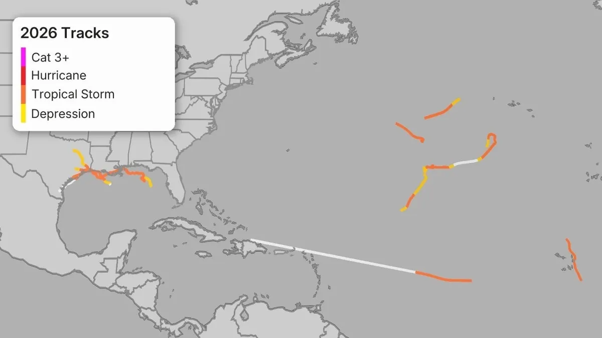
How El Niño brought a record quiet Atlantic and supercharged PacificThe 2026 Atlantic hurricane season may be the first in modern times to fail to generate a single hurricane, largely due to a likely record-smashing El Niño. Still waiting for No. 1As of the end of September, there have been eight tropical storms in the Atlantic since June. Not one of them became a hurricane. It's already a record-long wait for the Atlantic's first hurricane of any season in the modern satellite era, previously only as late as Sept. 11 in both 2002 and 2013. It's also only the third time since World War II there were no September hurricanes, joining 1962 and 1994. The season-to-date track map through the end of September looks about as blank as it can this deep into the season. Tracks of Atlantic tropical storms in the 2026 hurricane season through Sept. 30. (Data: NOAA/NHC)What's more typicalBy the end of September, five hurricanes have usually developed in an average Atlantic hurricane season, according to the National Hurricane Center. Get More of Our News on GoogleSet The Weather Company as a 'Preferred Source' to get quicker access to the news you value.

The Weather Channel·
Weather

Tropical trouble shifts closer to home as Invest 92L is likely to drench parts of the Gulf Coast

THE TAKEAWAYInvest 92L has officially been designated in the southern Gulf. A storm could begin to form sometime Thursday or Friday. Even if the system does not become tropical, the Gulf Coast could see another round of heavy rain and potential flash flooding this weekend. An invest has been designated in the southern Gulf amid the quietest start to an Atlantic hurricane season since the start of the satellite era (1966), with no hurricanes having formed this year. The National Hurricane Center (NHC) has designated a brewing tropical disturbance as Invest 92L, and the storm is likely develop in the Bay of Campeche later this week. WHAT IS AN INVEST DURING HURRICANE SEASON? The term "invest" is used every hurricane season in the Atlantic and the Eastern and Central Pacific basins, accompanied by a number from 90 to 99 and either the suffix "L," "E" or "C," respectively. The odds of development continue to increase, with a 60% chance in two days and an 80% chance of developing within a week, respectively.

Fox Weather·
Weather

The '3Cs' you need to know to protect your plants from frost

If you're a gardener, here's a five-letter word you might not want to hear in the fall:Frost. It can create impressive scenes, but it can also damage plants and crops. In simplest terms, frost is dew that freezes on surfaces, and if you want to know when it's coming, keep an eye out for the '3 Cs.'The Weather Network meteorologist, Nicole Karkic, breaks it down in the video above. Visit our Complete Guide to Fall 2026 for an in-depth look at the Fall Forecast, tips to plan for it and much more! Thumbnail image courtesy of Getty Images via Canva Pro.

The Weather Network·
Weather

Bryan Norcross: A system to watch in the Southwestern Gulf

Bryan Norcross Exclusive Analysis: Growing tropical threat in the Gulf FOX Weather Hurricane Specialist Bryan Norcross breaks down a new tropical threat brewing in the Gulf that could have impacts on the Gulf Coast this weekend, as well as an early look at the possible scenarios. Plus, see how Hurricane Rachel could affect beaches in Southern California. Updated at 10 a.m. on Monday, Oct. 5, 2026. A low-pressure system has developed off the coast of Mexico in the southwestern Gulf. The National Hurricane Center is giving it a high chance of developing into at least a tropical depression later this week. Overall, the atmospheric environment is not supportive of sustained development, but a pocket of relatively conducive upper-level winds could allow the system to organize. TROPICAL TROUBLE SHIFTS CLOSER TO HOME AS NEW DISTURBANCE COULD DRENCH PARTS OF THE GULF COAST Tropical activity in the Atlantic basin. (Bryan Norcross)This Gulf system is related to the Pacific disturbance that is eventually expected to organize into Tropical Storm Simon.

Fox Weather·
Weather

Why Hurricane Nolo could become Typhoon Nolo this weekend

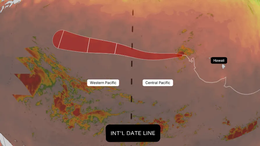
Nolo has had quite a week. After weakening to a tropical storm, it remains active and is forecast to cross the International Date Line this weekend. When it does, it won't get a brand-new name — it will simply become Typhoon Nolo. Typhoons are what hurricanes are called in the Western Pacific basin. Whether a storm is called a hurricane or a typhoon depends entirely on geography, not its physical structure. (MORE: Hurricane season maps tracker)Sitting at 180 degrees longitude, the International Date Line marks the boundary between the Central Pacific basin and the Western Pacific basin. Crossing that line from east to west — or vice versa — automatically changes a storm's official title on the map while leaving its assigned name completely intact. Get More of Our News on GoogleSet The Weather Company as a 'Preferred Source' to get quicker access to the news you value.(MORE: Our complete coverage of El Niño)What actually happens:Classification changes: Nolo shifts from "hurricane" to "typhoon" purely because of its geographical position relative to the International Date Line. If sustained winds top 150 mph, it would even be designated a Super Typhoon.

The Weather Channel·
Weather

Here are the 2026-27 winter storm names and why that matters

The Weather Channel will name winter storms again in 2026-27, drawing attention to snow and ice events that could have significant impacts on travel or everyday life for millions in the U. S. This season's listThe names that will be used are shown in the graphic above. Similar to hurricane name lists, the first storm will get the first name "Arabella," then continue down the list alphabetically. (MORE: Complete coverage of winter weather, including outlooks)Why do we name winter storms?

The Weather Channel·
Weather

Why noises travel farther and sound louder during the winter

It’s science: Why noises travel farther and sound louder during the winterEver wonder why a train horn or barking dog sounds louder on a crisp winter morning? Turns out, it's not just your imagination — there's real science behind it. The weather culpritIn the winter, we often see warmer air set up above a pocket of cooler air near the surface, as shown in the image below. This is called a temperature inversion. This is the opposite of what we typically see in the summer where the sun heats up the ground, creating a layer of warmer air near the surface with cooler air above. And it makes all the difference in what your ears can hear.(MORE: Here's when fall's first freeze arrives in your town)A visual representation of a temperature inversion, which is common during the winter.(Madie Homan)Now, add in the sound wavesThe key is that sound waves travel faster in warmer air than in cooler air. Get More of Our News on GoogleSet The Weather Company as a 'Preferred Source' to get quicker access to the news you value. When warmer air sets up above cooler air, the contrast between the two causes the sound waves to bend down toward the ground, closer to your ears.

The Weather Channel·