Tomorrow's Weather Edmonton (Apr 15): Snowy, Cold with Wind Gusts - The Weather Network
This story deserves to be shared
Send it to someone who'd care, or post it on your networks.
This article is an excerpt. To read the full content, visit the original source. The Weather Network
Related articles
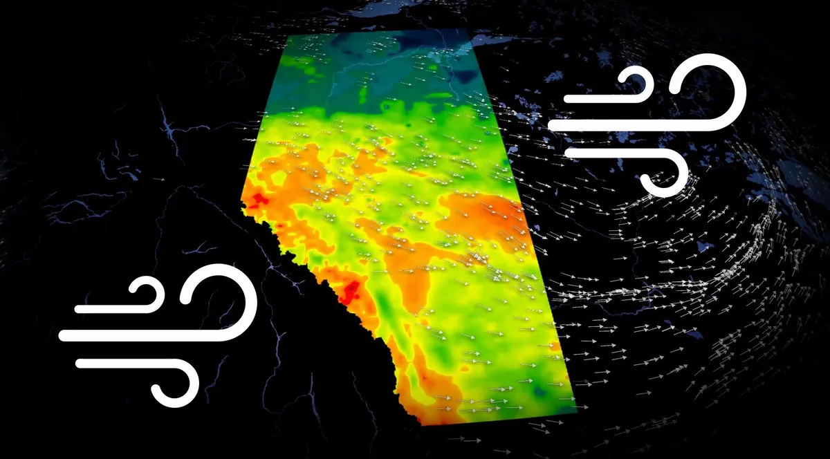
Alberta faces wind gusts up to 100 km/h Saturday
Strong winds are expected to sweep across Alberta on Saturday, with gusts reaching up to 90 km/h by the evening, possibly going as high as 100 km/h along the immediate foothills. The strongest winds are expected to develop as a cold front passes through the province on Saturday morning, bringing increasingly gusty conditions throughout the day. Drivers should be prepared for unexpected crosswinds, especially on exposed highways where strong gusts can make travel difficult. CHECK OUT: Canada announces a 'historic' $1.2B investment for ocean conservationWhat's driving the strong winds? A Pacific low is expected to redevelop over northern Alberta, bringing Pacific air to the area. At the same time, a sharp difference in air pressure between high pressure off the coast of British Columbia and a trough over the Prairies is causing winds in Alberta to accelerate. When air pressure varies significantly over a short distance, air moves faster between areas of high and low pressure, resulting in stronger winds. Content continues belowSEE ALSO: Feel like you're seeing more spiders this fall?
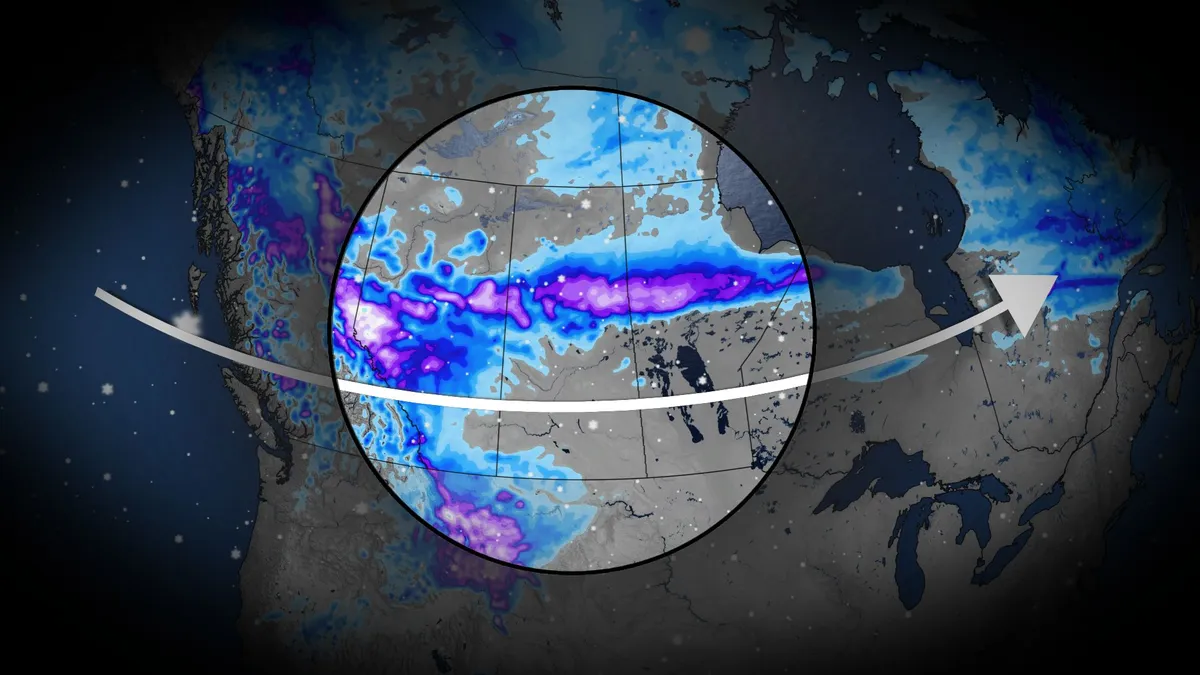
Snowy Thanksgiving weekend ahead for Western Canada
A shift to colder conditions this Thanksgiving weekend is set to bring snow across parts of Western Canada, beginning Friday and lasting through Sunday. DON’T MISS: Canada's Winter Sneak Peek: El Niño puts record warmth in playA trough of cold air from northern Canada will dig into the northwest United States, spilling over into British Columbia, Alberta, and Saskatchewan. Temperatures plunge across southern Alberta SaturdayTemperatures will drop near or below 0°C in parts of Alberta on Saturday and Sunday, with Saskatchewan sitting at the edge of the cold and southern Manitoba remaining milder. As the colder air interacts with warmer air to the south, an active storm system will develop. This will trigger rain, transitioning to snow from central Alberta into northern Saskatchewan. Snowfall will begin late Friday near Hinton, Grande Prairie, Edmonton, and Red Deer, with flurries spreading south to Calgary on Saturday. Accumulations between 2–5 cm are possible this weekend for areas between Edmonton and Calgary, with higher snowfall amounts expected in elevated regions near the foothills and significant accumulations in the Northern Rockies.
0 comments
No comments yet. Be the first to share your thoughts!