Alberta faces wind gusts up to 100 km/h Saturday
This story deserves to be shared
Send it to someone who'd care, or post it on your networks.
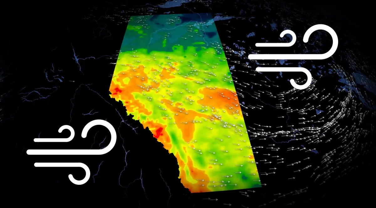
Strong winds are expected to sweep across Alberta on Saturday, with gusts reaching up to 90 km/h by the evening, possibly going as high as 100 km/h along the immediate foothills. The strongest winds are expected to develop as a cold front passes through the province on Saturday morning, bringing increasingly gusty conditions throughout the day. Drivers should be prepared for unexpected crosswinds, especially on exposed highways where strong gusts can make travel difficult. CHECK OUT: Canada announces a 'historic' $1.2B investment for ocean conservationWhat's driving the strong winds? A Pacific low is expected to redevelop over northern Alberta, bringing Pacific air to the area. At the same time, a sharp difference in air pressure between high pressure off the coast of British Columbia and a trough over the Prairies is causing winds in Alberta to accelerate. When air pressure varies significantly over a short distance, air moves faster between areas of high and low pressure, resulting in stronger winds. Content continues belowSEE ALSO: Feel like you're seeing more spiders this fall?
This article is an excerpt. To read the full content, visit the original source. The Weather Network
Related articles
Nor' easter to bring coastal flooding, winds to East Coast
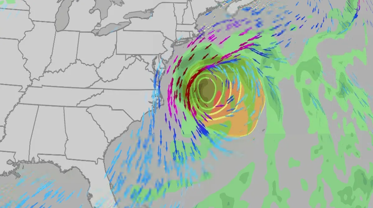
An October nor'easter is developing in the Atlantic, where it will bring high surf, rip currents, coastal flooding, winds and rain to parts of the East Coast for several days this week. The National Hurricane Center has it highlighted as an area to watch this week for potential subtropical development. However, regardless of development, this system will bring dangerous conditions to the East Coast this week. Fortunately, this system doesn't look to be as strong as the one in September. But the bad news? It could linger for much of the week, so impacts could have a longer duration than you would think. There are currently coastal flood alerts across parts of coastal North Carolina and Virginia, where anywhere from 1 to 4 feet of inundation is possible. Key takeawaysWe do not expect this storm to be as strong as the late September nor'easter. The area most likely impacted the longest appears to be from the Delmarva Peninsula to eastern North Carolina, with more models pointing to primarily eastern North Carolina.
0 comments
No comments yet. Be the first to share your thoughts!