Localized flooding, loose debris: Vancouver offers safety tips amid stormy weather - Vancouver Is Awesome
This story deserves to be shared
Send it to someone who'd care, or post it on your networks.
This article is an excerpt. To read the full content, visit the original source. Vancouver Is Awesome
Related articles
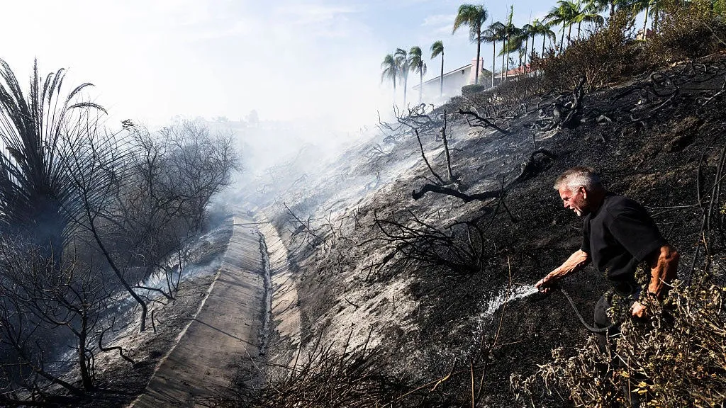
Rain threatens SoCal's new wildfire burn scars with debris flows
Scenes of destruction left behind by Southern California's Norte FireSouthern California was hit with wildfires this past week, and now rain forecast for the burn scars could mean danger ahead. We're watching two spots in particular: the burn scars left by the Bryson Fire in Malibu and the Norte Fire in San Clemente and San Juan Capistrano. Rain is expected to arrive Wednesday afternoon, with the heaviest falling Wednesday night into Thursday morning. On fresh burn scars, it doesn't take much to turn rain into a debris flow. Homeowner Steve Taylor uses a garden hose to put out hot spots behind homes on Calle Miramar during the Norte fire in San Juan Capistrano on Friday, Oct. 16, 2026.(Paul Bersebach/MediaNews Group/Orange County Register via Getty Images)How a debris flow could happen this weekHere's the number that matters: As little as 0.3 inch of rainfall in 30 minutes has triggered debris flows in Southern California, research from the U. S. Geological Survey has found. Any storm with intensities greater than about 0.4 inch an hour is at risk of producing debris flows.

Powerful line of storms sweeps southern Ontario, causing localized damage
A stout line of severe thunderstorms swept through southern Ontario on Wednesday with high winds, hail, torrential downpours and tornado warnings. The storms brought down trees and power lines throughout the region, producing enough rainfall to cause localized flooding. Around 7:25 p.m. EDT on Wednesday, CP24 reported police were actively rescuing people from flooded cars across Toronto after a heavy downpour left about 65,000 residents without power. Jane Street and Highway 7 flooding and rescue operation in Vaughan, Ont. (Jeremy Cohn/Submitted to The Weather Network)According to other reports, another rescue operation happened at the Jane Street and Highway 7 intersection in Vaughan, Ont., after major flooding occurred. Numerous vehicles were trapped in floodwaters and people were rescued by the Vaughan Fire and Rescue Service. It was reported that 20 vehicles were caught in the floodwaters. Multiple road closures and accidents were reported across the Greater Toronto Area (GTA) as a result of flooding and winds. As well, numerous events were postponed or cancelled. Many areas picked up 20-130+ mm of rain in short order, which led to flooding issues on some area roadways.
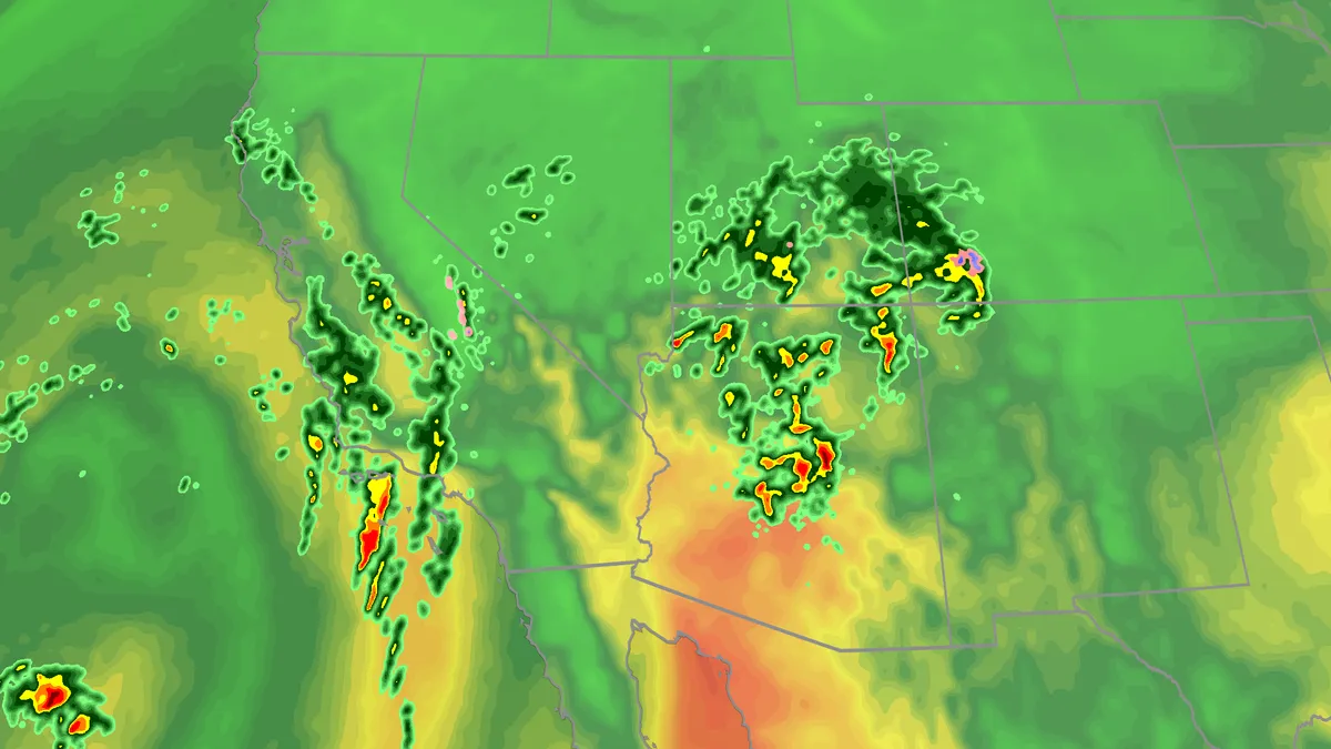
Flood risk, severe storms threat from California to Colorado
Large hail, tornadoes, flooding possible on Wednesday for SouthwestTropical moisture and favorable atmospheric conditions will fuel a multiday flood risk this week across seven states from California to Colorado. Severe storms are also likely, especially across Arizona. Millions are under a flood watch as days of rain will bring a threat of debris flows and landslides, especially across burn scars. Happening nowSevere storms are ramping up across parts of Arizona while bands of rain are also hitting parts of California and the Four Corners region. Here's the latest as the situation unfolds: A tornado watch has been issued across parts of central and northern Arizona until 6 p.m. MST. There have already been tornado warnings across the greater Flagstaff area Wednesday morning and early afternoon. A flash flood warning is in place that includes Zion National Park. The warning states that "National Park Service employees reported muddy flows across SR 9 in Springdale.
0 comments
No comments yet. Be the first to share your thoughts!