Edmonton lifting extreme weather response measures Tuesday - CityNews Edmonton
This story deserves to be shared
Send it to someone who'd care, or post it on your networks.
This article is an excerpt. To read the full content, visit the original source. CityNews Edmonton
Related articles
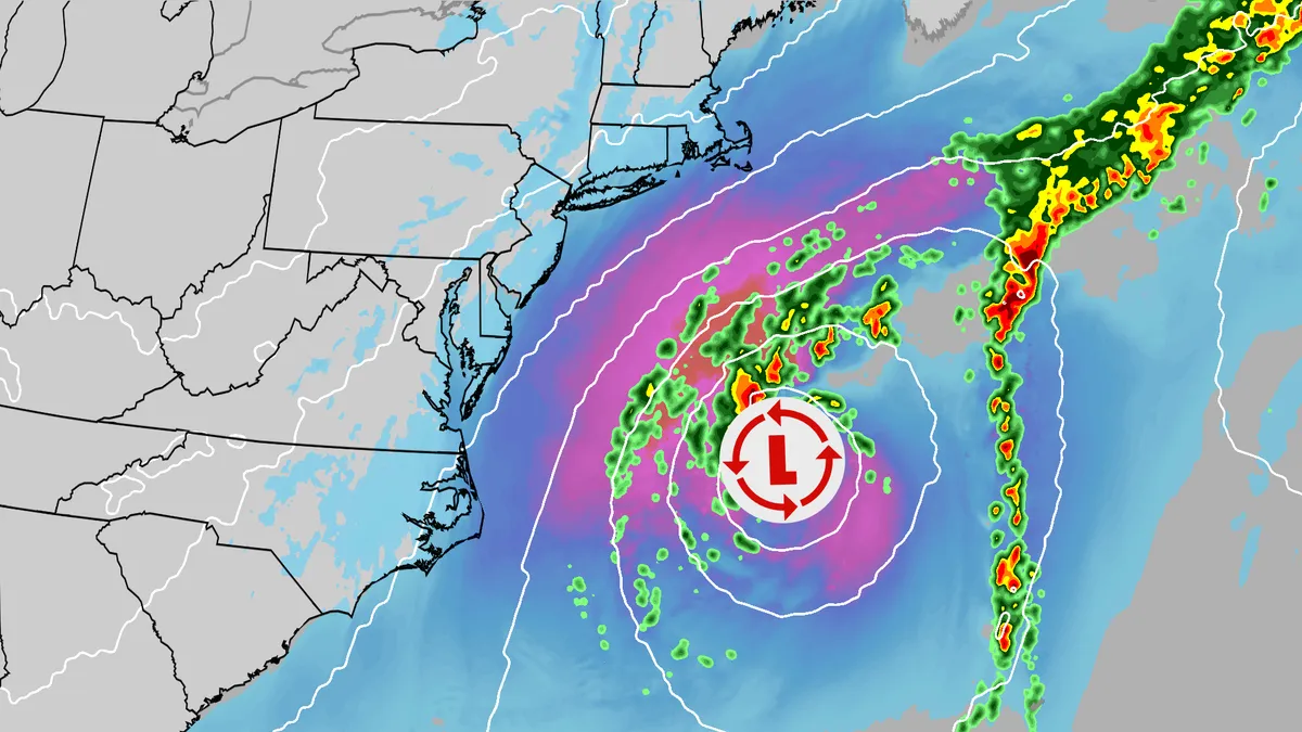
Nor'easter tracker: Radar, forecasts, current info and more
An October nor'easter is swirling off the East Coast, bringing gusty winds, coastal flooding and rip currents to much of the region. Track the storm here with all the maps you need. (MORE: Nor'easter lashes coast from Carolinas to Northeast)Current informationCurrent wind gustsCoastal flood alertsImpact forecastWave heightsGet More of Our News on GoogleSet The Weather Company as a 'Preferred Source' to get quicker access to the news you value. River gauge forecastCould it get a name? The National Hurricane Center is watching this nor'easter as well. Due to its unique properties, should it get a name, it will become Subtropical Storm Josephine.
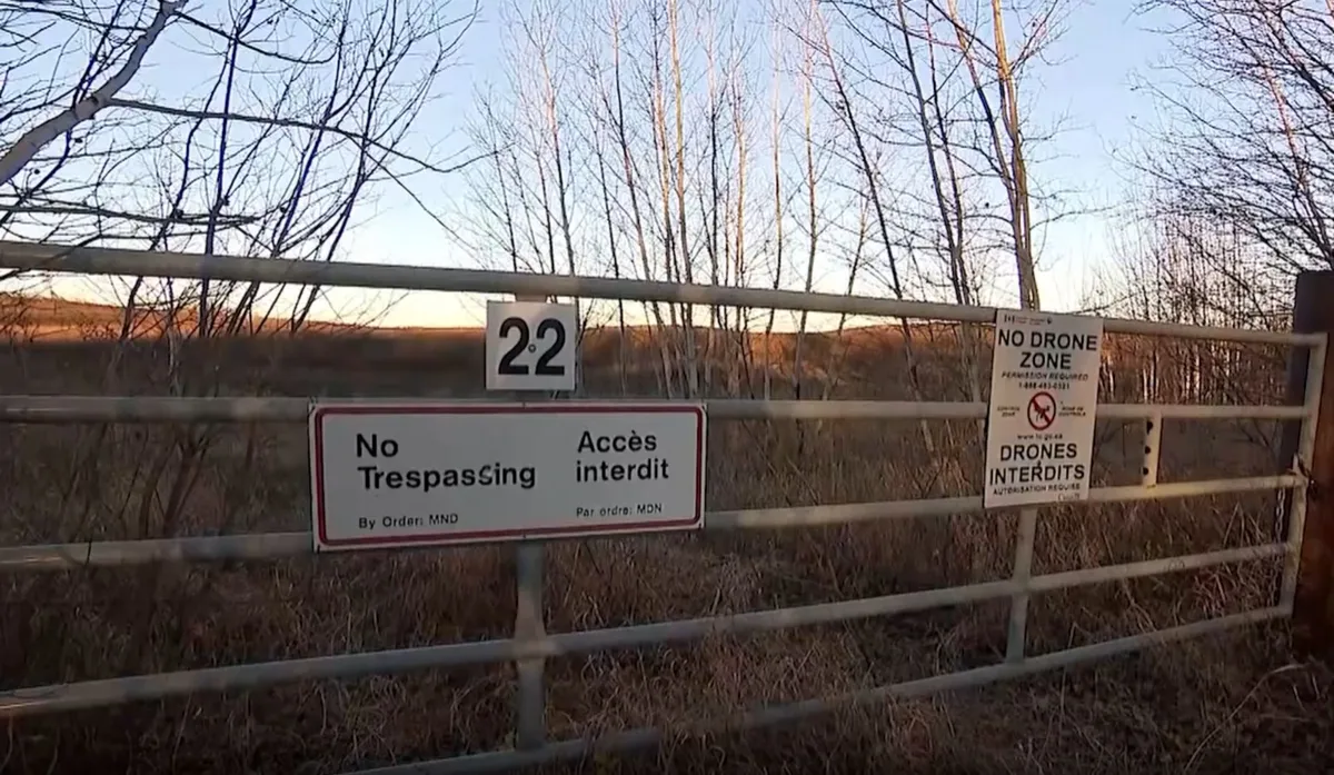
Officials say high winds intensified fire at CFB Wainwright
A fatal grass fire started at the military base Saturday afternoon during a live training exercise. It has now been confirmed to have taken the lives of four Canadian soldiers. 39 more are in hospitals across Alberta, with 19 in critical condition. A CAF spokesperson said the fire was burning for several hours in a training area, but a sudden change in wind intensity and direction spread it towards training soldiers with deadly speed. “Uncommonly strong winds caused the fire to spread rapidly and shift direction towards the range administrative area,” Maj.-Gen. Wade Rutland said Sunday. “The fire was a kilometre away when the wind shifted. It is not normal for a fire to move a kilometre in 30 to 60 seconds.”Rutland is the commander of the 1st Canadian Division and the “higher headquarters” of the unit training at CFB Wainwright. CFB Wainwright is about 200 km southeast of Edmonton. (Google Earth)Content continues belowSpeaking at a press conference at CFB Wainwright Sunday, Rutland said a “high intensity, live munitions” training exercise was being conducted at the base Saturday afternoon.
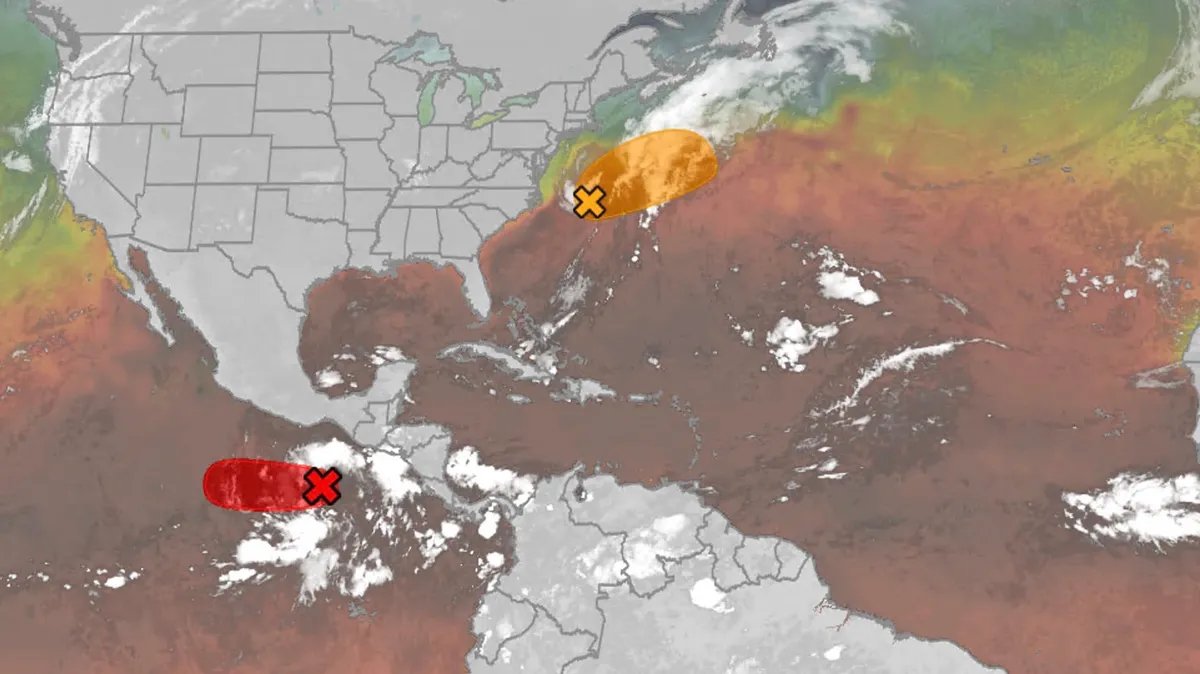
Hurricane season maps tracker: Latest forecasts and more
We have the maps you need to track all the systems ongoing in the Pacific and Atlantic below. Tracking the AtlanticTropical development areasSea surface temperatures Wind shear These are areas of strong wind shear, the difference in wind speed and direction with height, which are shown in purple. High wind shear is hostile to mature tropical cyclones and those trying to develop.(MORE: What is wind shear?)Get More of Our News on GoogleSet The Weather Company as a 'Preferred Source' to get quicker access to the news you value. Dry, dusty airAnother nemesis of tropical systems is dry air. In hurricane season, plumes of dust-laden air stream across the basin from Africa's Sahara Desert, as you can see in the map below. This sinking, dry air squelches thunderstorm development, the building blocks of tropical storms and hurricanes. So areas in the brown shading below are generally unfavorable for development. Atlantic tracks so far this seasonThese are the tracks of systems that were at least tropical or subtropical storms so far in the Atlantic Basin.
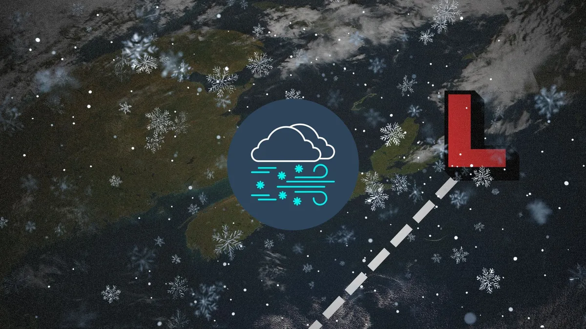
Halifax saw nearly 40 cm of snow during the Oct. 1974 storm
All the right conditions aligned in October 1974 for an unforgettable storm in the Maritimes. Halifax found itself buried under shin-deep snow. Destructive winds damaged homes, knocked down trees, and severed electricity to entire communities. DON'T MISS: Weather bombs are explosive storms that create ferocious conditionsA bomb cyclone produces damaging windsA strong trough dipping over Eastern Canada set the stage for a robust low-pressure system to develop off the coast of North Carolina on Saturday, Oct. 19. The low hurried toward the Maritimes during the overnight hours. Snow began falling in Halifax by 3:00 a.m. on Sunday, Oct. 20. Favourable environmental conditions allowed the storm to turn into a bomb cyclone, with its minimum central air pressure rapidly falling as it approached the region. Sydney reported a minimum air pressure of 967.7 mb as the centre of the storm passed just east of the community. Powerful winds caused extensive damage and power outages across the region, prompting officials to issue a state of emergency.
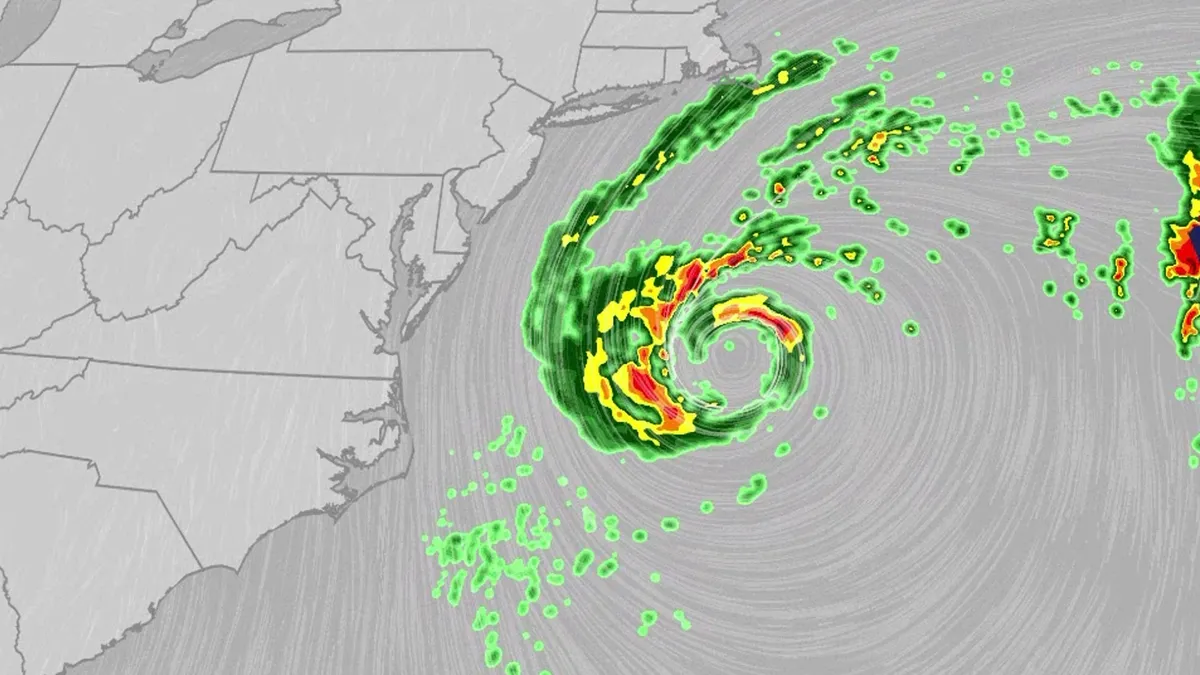
Nor'easter lashes coast from Carolinas to Northeast
An October nor'easter is meandering off the Atlantic coast, where it will bring high surf, rip currents, coastal flooding and winds to parts of the East Coast for several days this week. The National Hurricane Center has highlighted it as an area to watch this week for the potential development of Josephine. However, regardless of whether we call this system a nor'easter or Josephine, the impacts will be the same. The bottom line: This system will bring dangerous conditions to the East Coast for multiple days this week.(MORE: What is a nor'easter?)ImpactsWhile we do not expect this storm to be as strong as the late September nor'easter, there will still be some impacts. They are broken down below: Coastal floodingGet More of Our News on GoogleSet The Weather Company as a 'Preferred Source' to get quicker access to the news you value. The area most likely to be impacted the longest appears to stretch from the Delmarva Peninsula to eastern North Carolina. Coastal flood alerts are in effect for parts of coastal North Carolina, where anywhere from 1 to 4 feet of inundation is possible.
0 comments
No comments yet. Be the first to share your thoughts!