Curiosity rover camera reveals “most detailed view yet” of distant Martian cliffs with fantastic sunrise panorama - Digital Camera World
This story deserves to be shared
Send it to someone who'd care, or post it on your networks.
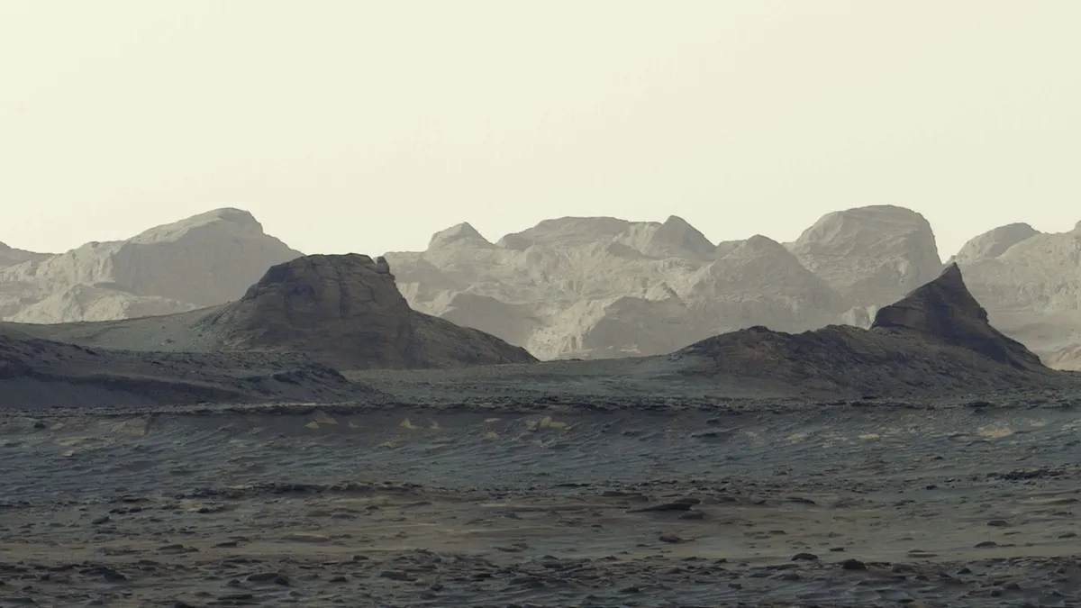
NASA's rover beamed back a series of shots depicting wind-carved crags on Mars illuminated by golden dawn light, which the space agency made into a panorama
This article is an excerpt. To read the full content, visit the original source. Digital Camera World
Related articles
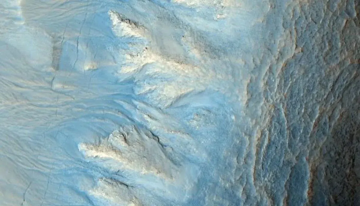
Why Mars looks blue in NASA’s unedited curiosity panorama? - The News International
Why Mars looks blue in NASA’s unedited curiosity panorama? Stand beside Curiosity at dawn, and you wouldn't see a red planet or a blue one. You'd see murky light-tan cliffs and almost no colour in the shadows. That makes NASA's new blue Mars panorama a bit of a trick, though not the kind you might suspect. Curiosity captured the scene on August 11 around 8:30 a.m. local Mars time. Its Mastcam took six images, which were stitched together after being sent to Earth. Unlike most Mastcam images, this one skipped the usual white balancing. NASA called that "an artistic choice" that preserves the early morning appearance. It shows wind-carved cliffs called yardangs on Mount Sharp. Martian dust tints everything the sun touches, so mission teams usually correct for it. The goal is to make rocks look as they would in Earth sunlight. Mike Malin, principal investigator for Curiosity's Mastcam, says the dust also hangs in the air, so the light has a colour like the sky near a forest fire. Correcting for it gives geologists a stable reference, says Mark Lemmon of Perseverance's Mastcam-Z team. Without it, everything takes on one dusty cast.
NASA’s Webb Reveals Dynamic Panorama of Star Formation - NASA Science (.gov)
Study creates first comprehensive map of Martian soils - Xinhua
SYDNEY, Oct. 17 (Xinhua) -- An Australian study has produced the first comprehensive classification system and map of Martian soils, offering a framework to help scientists identify potential locations for future exploration, habitation and food production. The research classifies almost 800 million locations across Mars into a hierarchy of 2,000 soil classes using orbital observations and models, presenting a global map showing where they occur, according to a statement released by Australia's University of Sydney. "Scientists have mapped Mars' geology, mineralogy and chemistry before, but our system brings together multiple properties into a single framework, helping us understand how different Martian soils relate to one another and where they're found," said Daniel Irving, a PhD student at the university, who led the research. The classification system groups Martian soils into 10 major "realms," 100 "assemblages" and 2,000 detailed "forms" based on properties including texture, mineralogy, pH and profile thickness. As a proof of concept, researchers assessed the soil classes for characteristics relevant to plant production.
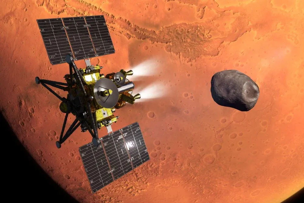
Japan Poised To Launch Mission To Martian Moons - Aviation Week
Concept of JAXA’s MMX spacecraft during its Mars orbit insertion, with the moon Phobos in the background. A pioneering mission to study a pair of Martian moons and return a 10-gram soil sample to Earth is being prepared for launch Oct. 19 from Japan’s Tanegashima Space Center. If successful, the Martian Moons Exploration (MMX) mission will add the first samples of Martian real estate to the world’s...
0 comments
No comments yet. Be the first to share your thoughts!