Calgary under a freezing drizzle advisory and a fog advisory - CTV News
This story deserves to be shared
Send it to someone who'd care, or post it on your networks.
This article is an excerpt. To read the full content, visit the original source. CTV News
Related articles
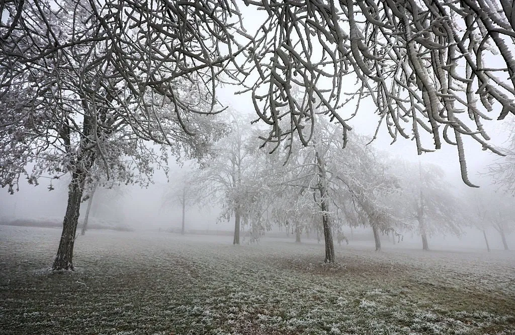
What is freezing fog? Plus, how to stay safe when it hits
Freezing Fog: What Is It And How Can It Impact You? As temperatures begin to drop below freezing, fog can become a much more dangerous threat, turning a normal commute into a travel nightmare. Fog often forms when air near the ground cools enough that water vapor in the air condenses into tiny suspended water droplets. This typically occurs at night and in the early mornings when Earth’s surface loses heat. But when the air temperature is below freezing (32 degrees Fahrenheit), these water droplets are “supercooled,” meaning they’re liquid even though it’s below freezing. When this happens, it’s known as freezing fog. Freezing fog can be extremely dangerous because when these water droplets land on surfaces like roads, trees and sidewalks, they instantly freeze on contact, creating a thin, nearly invisible layer of ice. 18 January 2026, Baden-Württemberg, Uttenweiler: Trees covered in hoarfrost stand in a meadow in Upper Swabia. Photo: Thomas Warnack/dpa(Thomas Warnack/picture alliance via Getty Images)Freezing fog can cause black ice to form on sidewalks and roadways. Black ice is difficult to see because it’s thin and clear, but it’s also particularly dangerous to drive on.
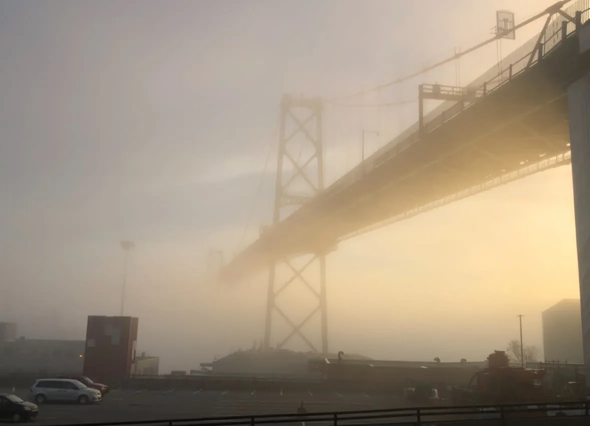
Driving in fog: 5 tips to stay safe on the road
Foggy mornings are common during fall when warm lakes meet cool autumn air. DON'T MISS: Winter can wait: Exceptional El Niño favours an extended fallReduced visibility can make driving tricky, but these five tips will help improve road safety:1. Use Low BeamsHigh beams cause glare as light reflects off fog droplets, impairing vision further. Stick to low beams for better visibility.2. Listen for TrafficKeep music off and lower your windows. Sound becomes crucial in detecting other vehicles in dense fog.3. Avoid Cruise ControlMaintain manual control of your speed to adjust quickly if visibility suddenly worsens.4. Increase Following DistanceKeep 5-6 seconds of space between your vehicle and others to allow ample reaction time. Content continues below5. Use Defrosters and WipersPrevent condensation buildup on your windshield by turning on the defroster and wipers. DON'T MISS: It’s not your imagination—here’s why fall is the foggiest seasonImplementing these practices ensures safer driving in foggy conditions. Always stay alert and adjust driving habits to match visibility on the road. WATCH: Why is fall the foggiest season?
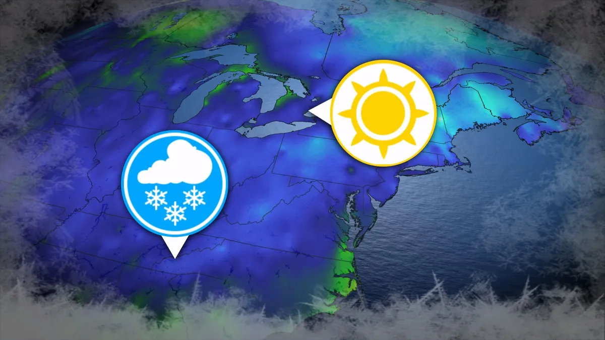
Where’s the frost? Southern U.S. hits freezing before Toronto, Montreal
Toronto and Montreal have remained above the freezing mark every day for almost six months. While frosts and even some snowflakes have intruded across parts of Ontario and Quebec in recent weeks, the two cities have yet to reach that magic number. What’s even more remarkable is that a handful of communities across the southern United States have already dipped to the freezing point--and some have even seen accumulating snowfall. DON’T MISS: Official: Canada records first -30°C reading of the seasonThe last time we saw a freezing temperature in either Toronto or Montreal was the second-to-last week of April. Toronto hit -1.3°C early on April 20, while Montreal dipped to -2.0°C the following morning. Our average first frost in both cities occurs right around the middle of October. But warmer-than-normal years can see this milestone slide several weeks past due. Montreal once had to wait 207 consecutive days for its first frost, with the city’s first subfreezing temperature in 2017 waiting until Nov. 7. The latest Toronto’s had to wait to hit the zero-degree mark was Nov. 13, 2022.
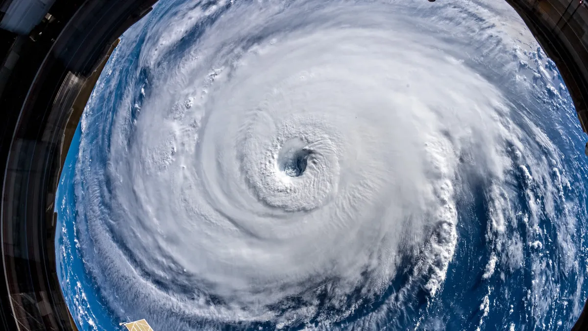
345 km/h: Meet the world’s strongest tropical cyclones
Tropical cyclones top the list of nature’s most powerful storms. Larger than tornadoes and more intense than any single thunderstorm, these systems can change the landscape when they swirl ashore. A handful of tropical cyclones take full advantage of their surroundings to achieve the apex of their potential, the strongest storms nature can produce. DON’T MISS: What’s the difference between hurricanes, typhoons, and cyclones? Tiny fraction of storms achieve upper limitsOnly about 4 per cent of all the world’s recorded tropical cyclones have reached the equivalent of Category 5 strength. Most tropical cyclones are relatively weak and short lived because it’s tough for all the necessary ingredients to align just right. But explosive development can result when all those factors come together in perfect harmony. Strongest Winds: Hurricane PatriciaAn exceptionally favourable setup off the western shores of Mexico in late-Oct. 2015 allowed Hurricane Patricia to grow into the world’s strongest hurricane since reliable observations began in 1966.
0 comments
No comments yet. Be the first to share your thoughts!