Bryan Norcross: Hurricane Lowell’s impacts will peak late tonight over the western Hawaiian Islands
This story deserves to be shared
Send it to someone who'd care, or post it on your networks.
Hurricane Lowell is on final approach to the waters just west of the main Hawaiian Islands. The center of the storm should miss Niihau, a small island just west of Kauai, by 100 miles or so. That means the worst of the weather – the core of the storm – should stay offshore. But Niihau looks likely to experience some hurricane force winds. On Kauai, the winds will be especially strong around the mountains and the higher elevations. POWERFUL CATEGORY 3 HURRICANE LOWELL BARRELS TOWARD HAWAII, PROMPTING HURRICANE WARNING FOR KAUAʻI Satellite imagery of Hurricane Lowell. (CIRA)A Hurricane Warning is in effect for Kauai and Niihau. That means that winds over 75 mph are expected somewhere on both of those islands. Winds are stronger aloft in a hurricane, and the mountainous terrain enhances the wind in some locations and blocks it in others. The strongest winds will likely occur near the mountain peaks and passes and down the back side of the mountain. Hurricane Lowell Watches and Warnings(FOX Weather) On the current schedule, the peak winds will arrive this evening Hawaii time, peak around midnight, and continue into the overnight hours.
This article is an excerpt. To read the full content, visit the original source. Fox Weather
Related articles
Bryan Norcross: Hurricane Lowell forecast to swipe the Western Hawaiian Islands late tomorrow
Updated at 10 a.m. on Sunday, Sept. 6, 2026. Powerful Hurricane Lowell is finally turning north. A dip in the jet stream is nudging the storm toward the northward path and will eventually grab Lowell and speed it past Hawaii. On the current schedule, tropical moisture will overspread the islands beginning late today. Rain will be heavy at times through tomorrow. TROPICAL STORM WATCHES ISSUED AS CATEGORY 3 HURRICANE LOWELL TURNS TOWARD HAWAII Tropical activity in the Pacific basin. (FOX Weather)Up to 12 inches of rain is forecast on Kauai and near that on the Big Island of Hawaii. Flash floods and mudslides are possible on the steep slopes. Lesser amounts are forecast for the other islands, but some rain will be locally heavy. Stay aware of local flood alerts from the National Weather Service in Honolulu. A Tropical Storm Watch is in effect for Kauai and the small island just to its west, Niihau. Winds above 40 mph with gusts to hurricane force at the higher elevations and through passes are increasingly likely on those islands late tomorrow.
Bryan Norcross: Hurricane Lowell to slowly turn toward the western Hawaiian Islands this weekend
Updated at 9:30 a.m. on Saturday, Sept. 5, 2026. Hurricane Lowell is a strong Category 4 as it drifts into a hard right bank and a path in the general direction of the western end of the main Hawaiian Island chain. The steering mechanism is changing from high pressure that has been driving Lowell to the west to a sharp dip in the jet stream that is going to yank it north. During that handoff, steering currents will be very light. Whenever a storm slows down, the uncertainty in its future track increases because there is no strong river of air driving it forward. As a result, there is high confidence that Lowell is going to turn north, but there is also intrinsic uncertainty on its exact path. A look at Hurricane Lowell on radar satellite (NOAA / NOAA)The consensus of the computer forecast models and the official National Hurricane Center forecast cone is that the core of the hurricane with the most damaging winds is most likely to pass by the main Hawaiian Islands, so the westernmost islands only get a glancing blow. That's not 100% due to the uncertainty introduced by the slow-motion turn. A more direct hit on Kauai or Niihau still can't be completely ruled out.
Spooky and safe: Halloween decorations that won't harm wildlife
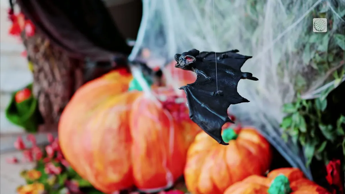
With Halloween around the corner, here are some simple swaps to make your display a treat for the neighbourhood...without tricking our wildlife. Skip the stretchy, fake spider webs outdoors. Birds and bats can get tangled in them. Try window clings or indoor webs instead. Keep lighting low and warm. Avoid bright spotlights and flashing lights, and turn decorations off overnight. Secure your decorations. Loose strings, fishing line and dangling decorations can entangle wildlife or blow away. (Marta Czurylowicz/The Weather Network)To prevent potential fires, choose battery-operated candles or lights instead of open flames. Be mindful of noise and motion. Loud, startling props can disturb animals, especially at night. Clean up daily. Pick up loose plastic, check for fallen decorations and make sure nothing has become a hazard. When you're done with those gourds, diispose of them responsibly so they don't attract wildlife, potentially putting them in harm's way on roads or in spaces near humans. The goal is to keep things spooky for the neighbours, not dangerous for nature.
U.S. East Coast bracing for nor'easter this week. Will Canada be impacted?
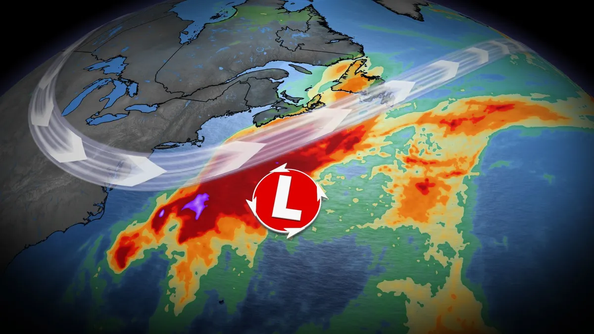
Atlantic Canada may be in for a rough middle of the or late week, with forecasters keeping a close eye on the formation of a nor'easter. A non-tropical, low-pressure system between the U. S. East Coast and Bermuda will meander for the next few days, and evolve into a hybrid system with some subtropical characteristics. DON'T MISS: Canada's Winter Sneak Peek: El Niño puts record warmth in playThis system is expected to intensify, track northeast, and may become a nor’easter for Atlantic Canada late week. Widespread winds and rainy conditions, especially for eastern Nova Scotia and Newfoundland, are possible. However, there is still a high amount of uncertainty right now. Here is what we know so far. Nor'easter in development this weekThe U. S. National Hurricane Center (NHC) has a 40 per cent chance of a storm-force, non-tropical low development along a frontal boundary. The area will continue to develop and remain near stationary for the early part of this week. Strong winds and surf expected to impact parts of the U. S. Eastern Seaboard, stretching from the Carolinas to New Jersey. Most showers will remain offshore, but could clip a swath of regions from Virginia to North Carolina
Orionid meteor shower 2026: cloud cover forecast by region
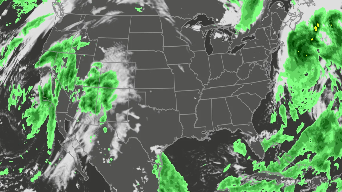
A meteor streaks across the sky over a desert in China during the Orionid meteor shower on Oct. 22, 2023.(VCG/VCG via Getty Images)The Orionid meteor shower is peaking this week, and it promises to be one of the most dazzling displays of the year. And while some of you will have clear skies, rain and clouds could impact the view for others. Here's what you need to know about the Orionids and your forecast:Fast factsPeak day: The meteor shower peaks Wednesday night, Oct. 21, into the early hours of Thursday morning, Oct. 22. Peak time: From midnight to dawn are the best hours to catch the meteors streaking through the sky, so plan on a late night or really early morning. What the Orionids are known for: The Orionid meteors are known for their brightness and their speed. As they streak across the sky at around 41 miles per second, the meteors leave behind a glowing "train" that can last several seconds to minutes. While you can make the perfect plan to catch the Orionids, the key to stellar viewing is still in Mother Nature's hands. The good news is that many of you should have good meteor shower-watching conditions. Much of the central and eastern U. S.
Can duct tape keep out flood water? Here's what lab tests found
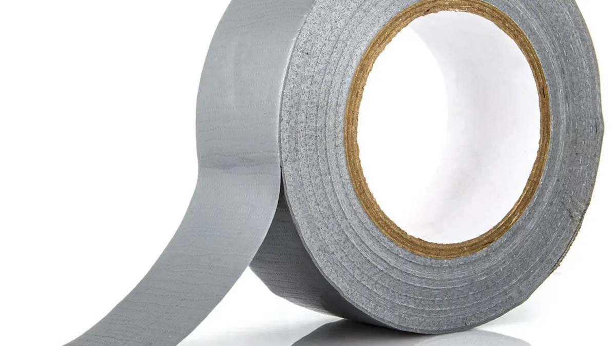
(urbanbuzz/shutterstock)Could a cheap roll of duct tape help protect your home from flooding? New research suggests it could make a surprisingly big difference. In controlled tests, correctly applied duct tape on the outside of a household door reduced water leakage by 97-98%. The findings suggest that a simple low-cost measure could substantially reduce the amount of water entering a home during a flood. This is important as one of the key lessons from flood resilience research is that the best time to protect a property is before floodwater arrives. The UK government’s 2025 FloodReady Review called for practical, affordable measures that help households understand their risks and to prepare for flooding. And one potential contribution to this agenda might sound unlikely, at first glance. Duct tape is more commonly associated with household repairs than flood protection. However, tests colleagues and I conducted at the University of Hull demonstrated how much water can enter a property through an unprotected doorway during a flood. Three doors, ready for flood-testing.
0 comments
No comments yet. Be the first to share your thoughts!