Winds of up to 90 km/h bring weather and Lake Erie shoreline advisories for Windsor-Essex - CBC
This story deserves to be shared
Send it to someone who'd care, or post it on your networks.
This article is an excerpt. To read the full content, visit the original source. CBC
Related articles
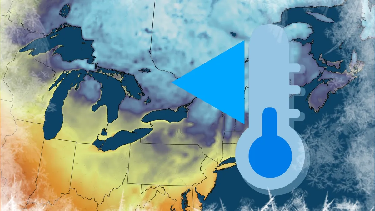
Frost advisories in cottage country and southeastern Ontario
Frost advisories are popping up all over Ontario after a stormy weather event and a hot summer. A tumbling ridge of high pressure is clearing the sky and easing the winds across the province. This will help usher in cooler temperatures going into the overnight. The ridge will create conditions for patchy frost to appear, especially in low-lying and frost-prone areas. Environment and Climate Change Canada (ECCC) has issued widespread frost advisories in the Nickel Belt, cottage country, and even parts of southeastern Ontario. RELATED: El Niño has put Canada's weather on pauseEnsure you take preventative measures to protect cold sensitive plants. These frosty conditions will create overnight lows in the low to mid-single digits in cottage country and southeastern Ontario. Content continues belowThe frost risk is expected to lessen going into Saturday night, thanks to a system moving towards the southwest that will bump up temperatures. WATCH: The '3 Cs' that mean frost could be on deckStay with The Weather Network for more updates on Ontario’s weather
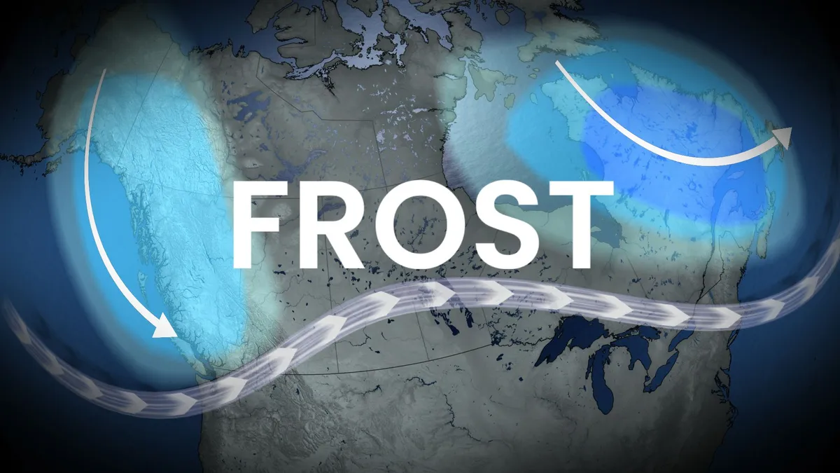
Some of Canada’s first frost advisories of the season issued
Cooler air settled into parts of Newfoundland early on September 2–3, bringing the season’s first frost to inland valleys. Badger registered early morning lows of 3.1°C and 2.5°C. Under clear skies and northerly winds, several areas saw temperatures near freezing, an early sign of the shifting season. For coastal regions like St. John's and Gander, the first frost typically doesn’t occur until mid to late October due to the Atlantic Ocean’s moderating effects. DON'T MISS: Understanding Canada's 'frost zones,' and when that first frost may hitMeanwhile, frost advisories have been issued for northern New Brunswick, including areas near Charlo, where temperatures are expected to dip to 2–3°C overnight into early Wednesday morning. This is an unseasonably early frost, as the region normally experiences its first frost around October 1. Radiational cooling, calm winds, and a cool northerly air mass are contributing to these conditions. Content continues belowAtlantic Canada will remain dry, but with below seasonal temperatures on Wednesday.
0 comments
No comments yet. Be the first to share your thoughts!