Will this fall chill stick around across southern Ontario?
This story deserves to be shared
Send it to someone who'd care, or post it on your networks.
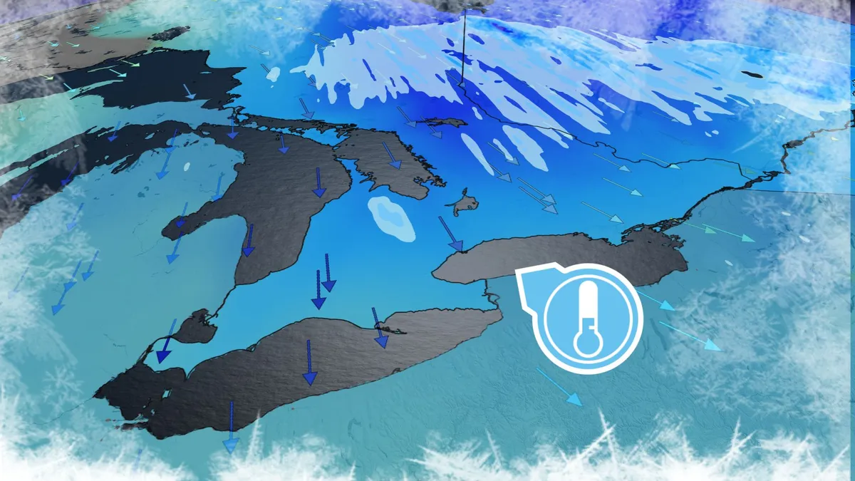
Fall-lovers are in luck this weekend as a brisk airmass swoops across southern Ontario. Temperatures will dip close to the freezing mark in some areas, prompting localized frost advisories in the Greater Toronto Area (GTA). But enjoy it while you can. This taste of autumn won’t linger for long. DON'T MISS: Winter snowfall across Canada may fall victim to El NiñoNortherly winds filtering into southern Ontario behind our departing low-pressure system will allow the fall chill to take hold of the region to kick off the weekend. Early morning temperatures will fall close to or below freezing. A frost advisory is in effect for parts of the GTA, including Toronto proper, as well as Mississauga, Brampton, and Scarborough. We could even see the first snowflakes of the season in some snowbelt communities as lake-effect showers develop amid the contrast between the cold air and the warm lakes. Additional flurries are possible in parts of Algonquin during the early-morning hours. Content continues belowThis snow is expected to remain at higher elevations as freezing levels here drop to around 800 metres.
This article is an excerpt. To read the full content, visit the original source. The Weather Network
Related articles
Nor' easter to bring coastal flooding, winds to East Coast
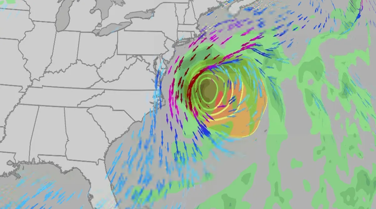
An October nor'easter is developing in the Atlantic, where it will bring high surf, rip currents, coastal flooding, winds and rain to parts of the East Coast for several days this week. The National Hurricane Center has it highlighted as an area to watch this week for potential subtropical development. However, regardless of development, this system will bring dangerous conditions to the East Coast this week. Fortunately, this system doesn't look to be as strong as the one in September. But the bad news? It could linger for much of the week, so impacts could have a longer duration than you would think. There are currently coastal flood alerts across parts of coastal North Carolina and Virginia, where anywhere from 1 to 4 feet of inundation is possible. Key takeawaysWe do not expect this storm to be as strong as the late September nor'easter. The area most likely impacted the longest appears to be from the Delmarva Peninsula to eastern North Carolina, with more models pointing to primarily eastern North Carolina.

Coastal homes burn as hot winds fuel California wildfires
Thousands evacuate Southern California as wind-fueled fires burn homesFire crews in Southern California gained ground Saturday on a wind-driven blaze that charred hills and damaged or destroyed at least six large coastal homes, allowing evacuation orders to be lifted and thousands of people to return home. The fast-moving Norte Fire sparked the previous day in San Clemente amid hot, strong Santa Ana winds that drove it into San Juan Capistrano, prompting the evacuation of about 16,000 residents. Firefighters work to douse a house fire during the Norte Fire on Friday, Oct. 16, 2026, in San Juan Capistrano, Calif.(AP Photo/Jae C. Hong)Hundreds of firefighters deployed to combat the blaze in the hills of Orange County. At one home engulfed in smoke and fire, photos showed them using hoses to try to douse the flames. Most of the evacuations were lifted Saturday evening, except for one street in San Clemente. The Norte Fire was one of several in the region hit by the Santa Anas, which blow from the interior and toward the coast.
0 comments
No comments yet. Be the first to share your thoughts!