Wet slab avalanche risk: Rain falls on snowpack in the West
This story deserves to be shared
Send it to someone who'd care, or post it on your networks.
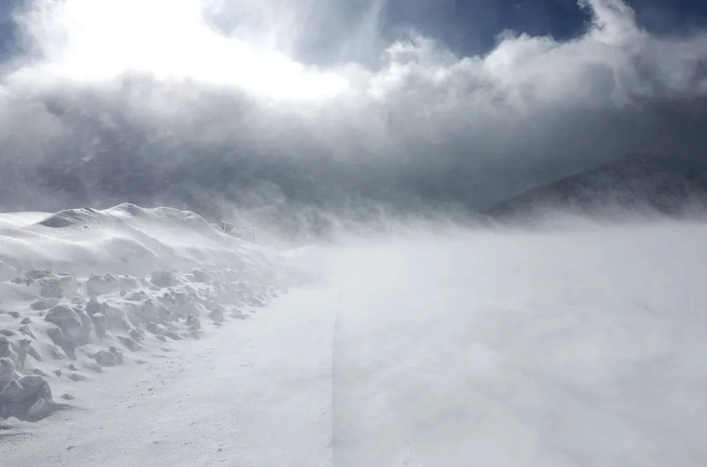
Warm rain on snowpack can trigger wet slab avalanches this winterMost people think avalanche danger comes from fresh snow, but avalanches need a weak layer in the snowpack plus a trigger. When rain falls on snow, or temperatures spike, meltwater loosens the bond between snow layers. That can release wet slab avalanches, which can break wide with little warning and run into terrain that normally feels safe.(MORE: Widespread snow blankets resorts from California to Montana)Rain triggers a wet slab avalancheA wet slab avalanche happens when water works its way down through the snowpack and weakens a layer buried below the surface. The snow above that layer, the slab, can then release all at once. Rain makes this more likely in two ways:First, it adds weight to the slab. Second, the meltwater it creates can loosen the bonds that hold snow layers together. The result is a heavy slab sitting on a weaker layer, with nothing holding it in place. Get More of Our News on GoogleSet The Weather Company as a 'Preferred Source' to get quicker access to the news you value. Wet slabs are harder to predict than many other avalanche types.
This article is an excerpt. To read the full content, visit the original source. The Weather Channel
Related articles
The West’s best shot at snowpack recovery comes from El Niño
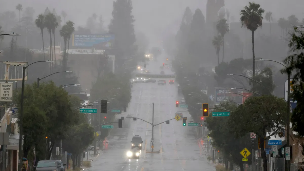
El Niño could boost Lake Mead, Lake Powell and the Sierra snowpackAfter years of diminishing winter snowpack and lowering lake levels in the West, El Niño could make this the year to recharge those reservoirs, including California’s watershed, and lakes Mead and Powell. Supercharged pipeline of moistureThe Sierra Nevada and the Rockies are likely to see a lot of help from a jet stream called the Pineapple Express. This rainmaking "firehose" is a direct movement of moisture from around Hawaii to the West Coast of the U. S. and Canada during the winter months. It is naturally occurring and is a frequent cause for flood concerns and mountain snow in California. El Niño tilts the odds toward a wetter, more active Pacific storm track. El Niño’s heat across the Pacific warms the atmosphere and allows it to hold more moisture to be transported toward North America.
Towering snowpack nearing records west of Calgary - The Weather Network
Nor' easter to bring coastal flooding, winds to East Coast
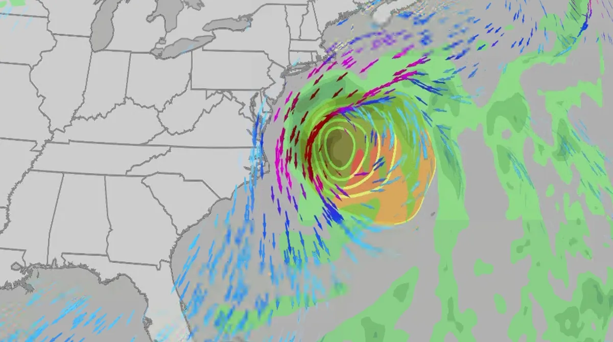
An October nor'easter is developing in the Atlantic, where it will bring high surf, rip currents, coastal flooding, winds and rain to parts of the East Coast for several days this week. The National Hurricane Center has it highlighted as an area to watch this week for potential subtropical development. However, regardless of development, this system will bring dangerous conditions to the East Coast this week. Fortunately, this system doesn't look to be as strong as the one in September. But the bad news? It could linger for much of the week, so impacts could have a longer duration than you would think. There are currently coastal flood alerts across parts of coastal North Carolina and Virginia, where anywhere from 1 to 4 feet of inundation is possible. Key takeawaysWe do not expect this storm to be as strong as the late September nor'easter. The area most likely impacted the longest appears to be from the Delmarva Peninsula to eastern North Carolina, with more models pointing to primarily eastern North Carolina.
0 comments
No comments yet. Be the first to share your thoughts!