Warm temperatures give way to cooler, unsettled weather later this week in Montreal - CityNews Montreal
This story deserves to be shared
Send it to someone who'd care, or post it on your networks.
This article is an excerpt. To read the full content, visit the original source. CityNews Montreal
Related articles
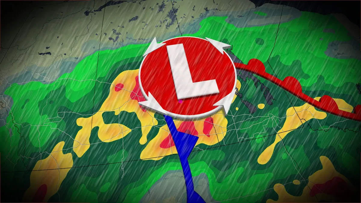
Wet, possible stormy Sunday on tap on the Prairies amid unsettled pattern
An upper-level trough and abundant, tropical moisture will lead to significant rainfall for parts of the Prairies this weekend, creating localized flooding concerns. Rainfall totals of 40-80+mm will affect a large swath of the region through Tuesday, with areas that see thunderstorm activity possibly exceeding 100 mm of accumulation. DON’T MISS: Canada’s Labour Day weekend holds heavy rain and sunny skiesOn Sunday, forecasters will be watching the Saskatchewan-Manitoba border for the potential of severe storms, including the chance of supercells and a low, but non-zero, tornado risk. Risk of severe storms on SundayWet and unsettled conditions are expected across Alberta on Sunday as periods of rain continue, especially in southern areas. Farther east, in Saskatchewan and Manitoba, thunderstorms moved through Sunday morning and will continue to be a risk in the afternoon and evening as they move into the latter province. For areas around the Saskatchewan-Manitoba border we are watching for the risk of stronger storms, with the chance for supercells to develop. That will bring all severe weather risks on the table, even a low, but non-zero, tornado risk.
City monitoring developing storm as unsettled weather begins to impact O‘ahu | Office of the Mayor - City and County of Honolulu (.gov)
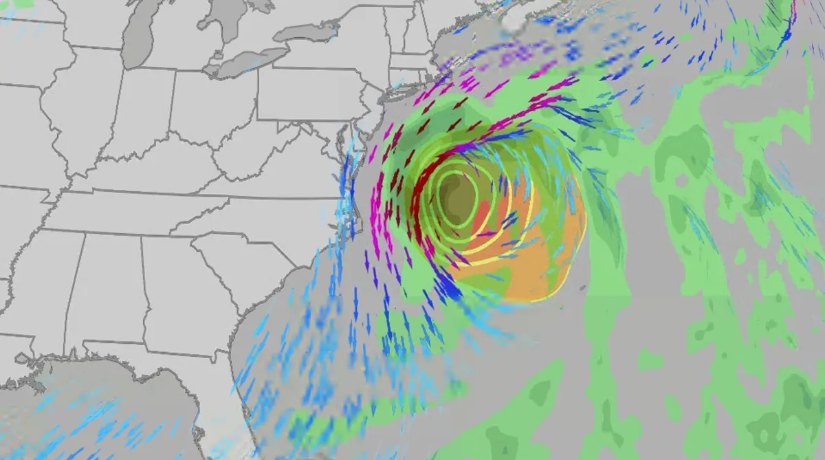
Nor' easter to bring coastal flooding, winds to East Coast
An October nor'easter is developing in the Atlantic, where it will bring high surf, rip currents, coastal flooding, winds and rain to parts of the East Coast for several days this week. The National Hurricane Center has it highlighted as an area to watch this week for potential subtropical development. However, regardless of development, this system will bring dangerous conditions to the East Coast this week. Fortunately, this system doesn't look to be as strong as the one in September. But the bad news? It could linger for much of the week, so impacts could have a longer duration than you would think. There are currently coastal flood alerts across parts of coastal North Carolina and Virginia, where anywhere from 1 to 4 feet of inundation is possible. Key takeawaysWe do not expect this storm to be as strong as the late September nor'easter. The area most likely impacted the longest appears to be from the Delmarva Peninsula to eastern North Carolina, with more models pointing to primarily eastern North Carolina.

Coastal homes burn as hot winds fuel California wildfires
Thousands evacuate Southern California as wind-fueled fires burn homesFire crews in Southern California gained ground Saturday on a wind-driven blaze that charred hills and damaged or destroyed at least six large coastal homes, allowing evacuation orders to be lifted and thousands of people to return home. The fast-moving Norte Fire sparked the previous day in San Clemente amid hot, strong Santa Ana winds that drove it into San Juan Capistrano, prompting the evacuation of about 16,000 residents. Firefighters work to douse a house fire during the Norte Fire on Friday, Oct. 16, 2026, in San Juan Capistrano, Calif.(AP Photo/Jae C. Hong)Hundreds of firefighters deployed to combat the blaze in the hills of Orange County. At one home engulfed in smoke and fire, photos showed them using hoses to try to douse the flames. Most of the evacuations were lifted Saturday evening, except for one street in San Clemente. The Norte Fire was one of several in the region hit by the Santa Anas, which blow from the interior and toward the coast.
0 comments
No comments yet. Be the first to share your thoughts!