U.S. Billion-Dollar Weather and Climate Disasters in 2025 - Climate Central
This story deserves to be shared
Send it to someone who'd care, or post it on your networks.
This article is an excerpt. To read the full content, visit the original source. Climate Central
Related articles
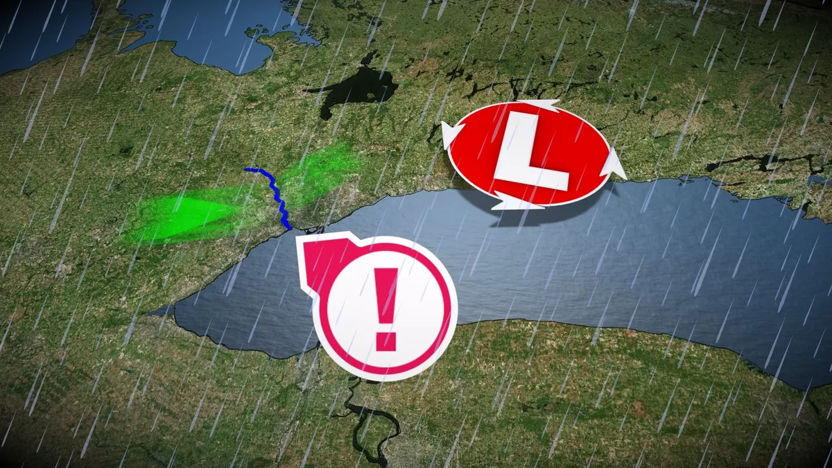
Hurricane Hazel was one of Ontario’s worst modern disasters
Hurricane Hazel grew into one of Ontario’s most destructive storms in modern history--and the storm made landfall more than 1,000 kilometres away. Dozens of people died when the storm’s drenching rains unleashed flash floods throughout portions of the Greater Toronto Area. Gusty winds caused additional damage and power outages. DON’T MISS: Hurricane remnants can bring dangerous weather deep into CanadaHazel began as a tropical storm near Barbados on the morning of Oct. 5, gaining major hurricane status five days later as it turned toward Haiti. The hurricane's destructive winds and flooding rains killed hundreds of people in the country. The storm strengthened further as it accelerated toward the U. S. East Coast, making landfall near Myrtle Beach, South Carolina, as a Category 4 hurricane. Hazel produced wind gusts as high as 225 km/h and a storm surge of 5.5 metres above ground level where it came ashore. A few hours after landfall, Hazel underwent an extratropical transition in a process very similar to what we saw during Sandy in 2012 and Fiona in 2022. The system, now akin to an exceptionally strong nor’easter, raced toward Ontario.
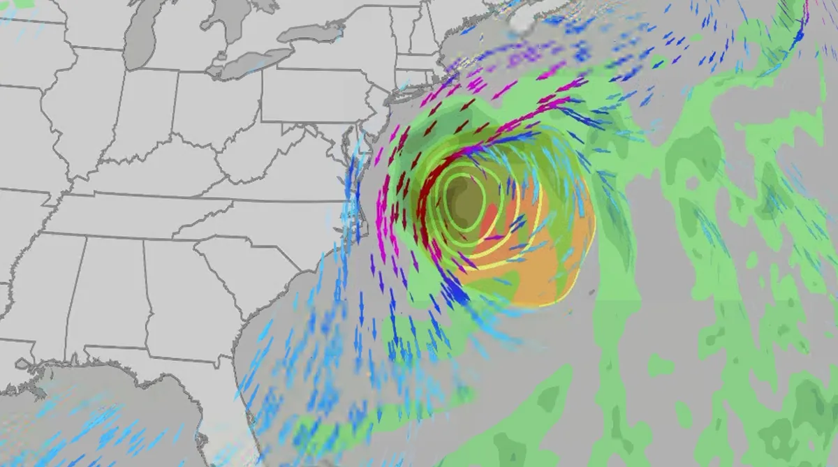
Nor' easter to bring coastal flooding, winds to East Coast
An October nor'easter is developing in the Atlantic, where it will bring high surf, rip currents, coastal flooding, winds and rain to parts of the East Coast for several days this week. The National Hurricane Center has it highlighted as an area to watch this week for potential subtropical development. However, regardless of development, this system will bring dangerous conditions to the East Coast this week. Fortunately, this system doesn't look to be as strong as the one in September. But the bad news? It could linger for much of the week, so impacts could have a longer duration than you would think. There are currently coastal flood alerts across parts of coastal North Carolina and Virginia, where anywhere from 1 to 4 feet of inundation is possible. Key takeawaysWe do not expect this storm to be as strong as the late September nor'easter. The area most likely impacted the longest appears to be from the Delmarva Peninsula to eastern North Carolina, with more models pointing to primarily eastern North Carolina.

Coastal homes burn as hot winds fuel California wildfires
Thousands evacuate Southern California as wind-fueled fires burn homesFire crews in Southern California gained ground Saturday on a wind-driven blaze that charred hills and damaged or destroyed at least six large coastal homes, allowing evacuation orders to be lifted and thousands of people to return home. The fast-moving Norte Fire sparked the previous day in San Clemente amid hot, strong Santa Ana winds that drove it into San Juan Capistrano, prompting the evacuation of about 16,000 residents. Firefighters work to douse a house fire during the Norte Fire on Friday, Oct. 16, 2026, in San Juan Capistrano, Calif.(AP Photo/Jae C. Hong)Hundreds of firefighters deployed to combat the blaze in the hills of Orange County. At one home engulfed in smoke and fire, photos showed them using hoses to try to douse the flames. Most of the evacuations were lifted Saturday evening, except for one street in San Clemente. The Norte Fire was one of several in the region hit by the Santa Anas, which blow from the interior and toward the coast.
0 comments
No comments yet. Be the first to share your thoughts!