Toronto braces for big temperature swings and snow this weekend - CityNews Toronto
This story deserves to be shared
Send it to someone who'd care, or post it on your networks.
This article is an excerpt. To read the full content, visit the original source. CityNews Toronto
Related articles

Florida braces for a month’s worth of rain in just days as flash flood threat grows
THE TAKEAWAYA slow-moving cold front taps into tropical moisture to trigger a Florida flood threat into next week. Parts of North to Central Florida could see 5 to 8 inches of rain. A Level 1 out of 4 flash flood threat is in place for Monday and Tuesday. FLORIDA — Unfortunately for Floridians, the stretch of wet weather isn't letting up for the next several days, bringing necessary rain to drought-stricken parts of the state. Some parts of Florida could see upwards of 8 inches of rain by Thursday, the FOX Forecast Center said.🌧️KEY WEST WATERWORKS: Duval Street in Key West turned into a river Thursday as torrential downpours soaked South Florida. Key West broke a daily rain record that had stood since 1943. Watch FOX Weather for details about an upcoming week of rain on tap for the Sunshine State: pic.twitter.com/SLjl6HFv7C— FOX Weather (@foxweather) October 2, 2026MILLIONS ACROSS SOUTHEAST FACE DAYS OF HEAVY RAIN, INCREASED FLOOD THREAT IN WET START TO OCTOBERThe slow-moving cold front that has triggered flooding in parts of the Southwest and Southern Plains is set to begin today, helping fuel nasty wet weather for the Sunshine State in the Southeast.
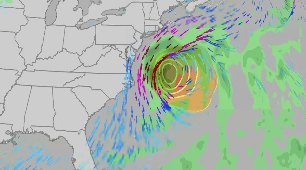
Nor' easter to bring coastal flooding, winds to East Coast
An October nor'easter is developing in the Atlantic, where it will bring high surf, rip currents, coastal flooding, winds and rain to parts of the East Coast for several days this week. The National Hurricane Center has it highlighted as an area to watch this week for potential subtropical development. However, regardless of development, this system will bring dangerous conditions to the East Coast this week. Fortunately, this system doesn't look to be as strong as the one in September. But the bad news? It could linger for much of the week, so impacts could have a longer duration than you would think. There are currently coastal flood alerts across parts of coastal North Carolina and Virginia, where anywhere from 1 to 4 feet of inundation is possible. Key takeawaysWe do not expect this storm to be as strong as the late September nor'easter. The area most likely impacted the longest appears to be from the Delmarva Peninsula to eastern North Carolina, with more models pointing to primarily eastern North Carolina.
0 comments
No comments yet. Be the first to share your thoughts!