Severe weather disrupts vessel movement in Nhava Sheva Port, India - Kuehne+Nagel
This story deserves to be shared
Send it to someone who'd care, or post it on your networks.
This article is an excerpt. To read the full content, visit the original source. Kuehne+Nagel
Related articles

Warnings persist as high winds, heavy snow hit the Prairies
Steady snowfall will continue for a wide swath of the Prairies as a blustery low-pressure system continues trekking across the region. Calgary picked up measurable snowfall early Friday. Additional accumulations are likely toward the east, with some areas on the northern Prairies picking up as much as 50 cm of snow. Warnings remain in effect for both high winds and winter storm conditions. PHOTOS: Burst of October snow falls over major Canadian citiesThe large low-pressure system responsible for the early dose of wintry weather will continue lifting north as we head into Saturday, bringing heavy snowfall to the north and blowing snow to southern regions. Wind gusts of 50-80+ km/h will persist through Saturday across Saskatchewan and Manitoba, easing into the overnight hours. Sudden reductions in visibility are expected late Friday into early Saturday across southern Saskatchewan as brief but intense snowfall accompanies the gusty winds in the region. Content continues belowRELATED: What’s the snowiest month in your corner of Canada? High snowfall rates will continue into the weekend across northern portions of Saskatchewan and Manitoba, including Cree Lake and Black Lake.
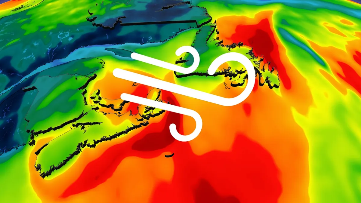
Ex-Josephine brings high winds and maybe snow to East Coast
Parts of Atlantic Canada may be in for a rough start to the weekend, with forecasters keeping a close eye on the system formerly known as Subtropical Storm Josephine. The storm has been meandering up the Eastern Seaboard this week as a powerful low-pressure system but has now reached cold North Atlantic waters. DON'T MISS: Canada's Winter Sneak Peek: El Niño puts record warmth in playThe system will swipe southern Atlantic Canada with potent wind gusts, heavy rainfall, snowfall and three- to five-metre waves along the coastal areas, elevating the risk of flooding. Low-pressure systems exist on a spectrum between tropical and extratropical (non-tropical). Josephine has slipped across the spectrum in both directions several times over the past week. Originally a strong nor’easter, the system evolved into a subtropical storm on Wednesday before returning to its roots on Thursday. A subtropical storm is one that has characteristics of both a tropical and extratropical system, a sort of hybrid storm that can bring hazardous weather to the affected regions.
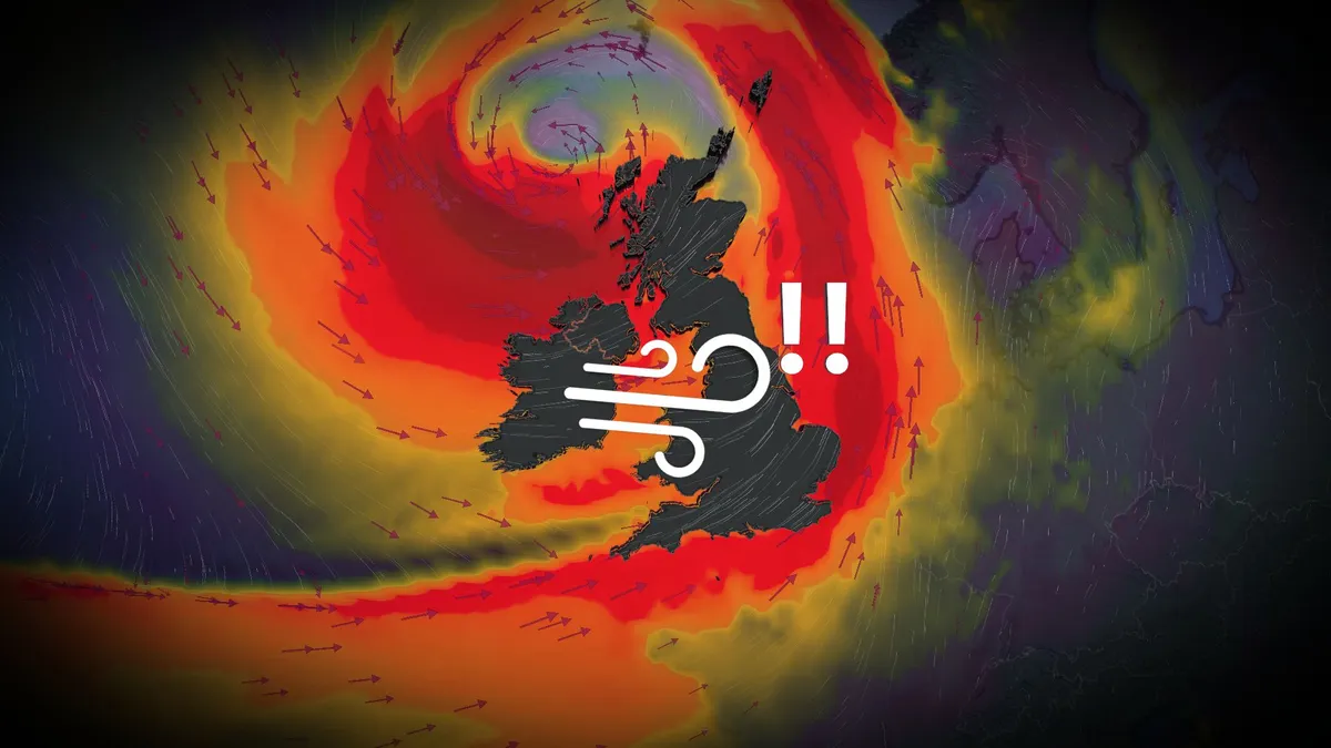
Storm Austen strikes Europe as an even stronger storm looms
Winds gusted to nearly 130 km/h as powerful Storm Austen swept into western Europe to end the week. Forecasters warn that an even stronger storm will batter parts of the region heading into this weekend, threatening an additional round of powerful winds and heavy rain. DON’T MISS: How a powerful El Niño will affect people around the worldStorm Austen looked remarkable on satellite imagery as it strengthened over the northeastern Atlantic on approach to western Europe on Thursday and Friday. The centre of the powerful low-pressure system tracked east across the English Channel before weakening as it turned north over The Netherlands and Denmark late Friday. Heavy rainfall and intense winds hit Ireland, the U. K., as well as northwestern sections of mainland Europe. Gusts as high as 122 km/h at St. Mary’s Airport, off the southwestern tip of England. Another wind gust of 114 km/h occurred at a military base in Cornwall. Thousands of power outages were reported. Content continues belowStorm Boelo (pronounced ‘boo-loh’) will follow close behind, affecting northern portions of Ireland and the U. K. through Saturday and Sunday.

Permanent DST could make your morning commute more dangerous
Many provinces and regions across Canada moved away from “falling back” in 2026, permanently fixing their clocks in summer mode. This large-scale shift to year-round Daylight Saving Time (DST) will have plenty of impacts, both good and bad, on folks from British Columbia to northwestern Ontario. One of the major (and perhaps overlooked) drawbacks is the impact of darkness and winter weather on the morning commute. DON'T MISS: Sleep experts say Manitoba should reconsider daylight time over standard timeThe time shift means later sunrisesWe can’t alter the length of those short winter days, of course. But we can change how we interact with both daylight and darkness. This global debate continues to rage across Canada, the U. S., and throughout the European Union. British Columbia, Alberta, Manitoba, the Northwest Territories, and parts of northwestern Ontario decided to put a stop to the twice-annual time shift in 2026, opting to keep their respective regions on permanent summer time. This long-sought change aims to end the disruption of changing the clocks -- and schedules, and sleep patterns -- in both March and November.

Passing Pacific storm may impact weekend travel in B.C.
After a bout of notable warmth and dryness across British Columbia earlier in October, it's now the start of fall storm season for the coastal province. The season will kick off this weekend with a Pacific low brewing off the coast, although it isn't forecast to move much over the weekend. SEE ALSO: Exploring Hornby Island: Inside the "Seaweed School" adventureLuckily, the storm will stay far enough offshore to only give the province a glancing blow in terms of impactful weather. Atmospheric moisture will move in over the South Coast through Saturday and collide with a cold airmass currently sitting over the province. This will result in a quick decrease in freezing levels and a round of alpine snow along some mountain highway passes. As freezing levels fall below 1,000 metres by Saturday evening, parts of the Coquihalla and Allison Passes, as well as the Connector to Kelowna, could see 5-10 cm of snow. DON'T MISS: So long, summer: A final checklist for properly closing your cottageB. C.'s winter tire requirement for mountain passes came into effect on Oct. 1; travel may still be impacted from the Lower Mainland through the Interior late Saturday.
0 comments
No comments yet. Be the first to share your thoughts!