Season rewind in southern Ontario as snow, chilly temperatures return - The Weather Network
This story deserves to be shared
Send it to someone who'd care, or post it on your networks.
This article is an excerpt. To read the full content, visit the original source. The Weather Network
Related articles

Skengdon’s dancehall legacy gets digital rewind - Jamaica Gleaner
In the 1980s, the giant speaker dancehall setting was the barometer by which noted producer-businessman Kenneth ‘Skengdon’ Black could judge whether a song was a bona fide hit or not. The dance was the ultimate litmus test where an emerging talent, a new voice, a booming riddim and a vibesy selector with the right touch could ignite a crowd. And Black was one of those in the music ecosystem who was prepared to bankroll that street-certified chemistry with hard cash. Forty years later, the executive producer’s investment in Jamaican talent is getting another feature. Albums featuring Super Cat, Nicodemus and Little John will complete the digital rollout of the Skengdon album catalogue on November 20, through VP Records. The releases will pave the way for Skengdon Anthology — The Sound System • The Studio • The Legacy, scheduled for the first quarter of 2027, bringing together recordings from an enterprise whose roots ran deep into sound-system culture. For Black, the business began with people he knew and talent he trusted. “My involvement started before the Skengdon recording sessions. I already had relationships within sound-system culture ...
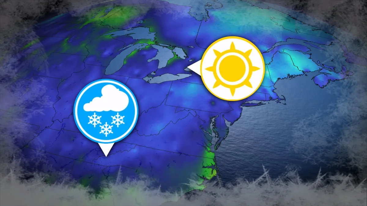
Where’s the frost? Southern U.S. hits freezing before Toronto, Montreal
Toronto and Montreal have remained above the freezing mark every day for almost six months. While frosts and even some snowflakes have intruded across parts of Ontario and Quebec in recent weeks, the two cities have yet to reach that magic number. What’s even more remarkable is that a handful of communities across the southern United States have already dipped to the freezing point--and some have even seen accumulating snowfall. DON’T MISS: Official: Canada records first -30°C reading of the seasonThe last time we saw a freezing temperature in either Toronto or Montreal was the second-to-last week of April. Toronto hit -1.3°C early on April 20, while Montreal dipped to -2.0°C the following morning. Our average first frost in both cities occurs right around the middle of October. But warmer-than-normal years can see this milestone slide several weeks past due. Montreal once had to wait 207 consecutive days for its first frost, with the city’s first subfreezing temperature in 2017 waiting until Nov. 7. The latest Toronto’s had to wait to hit the zero-degree mark was Nov. 13, 2022.
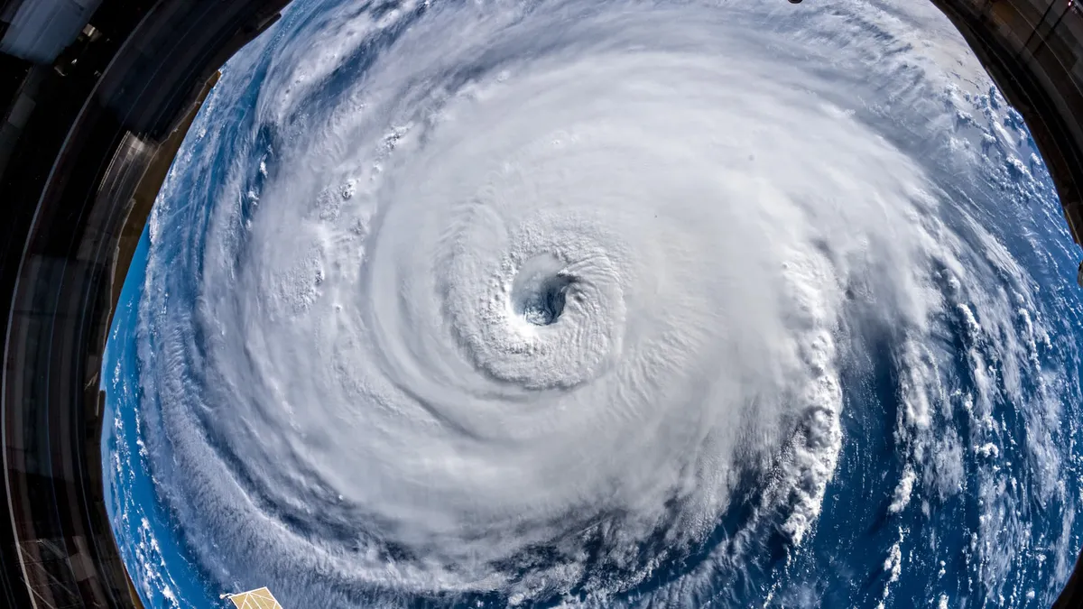
345 km/h: Meet the world’s strongest tropical cyclones
Tropical cyclones top the list of nature’s most powerful storms. Larger than tornadoes and more intense than any single thunderstorm, these systems can change the landscape when they swirl ashore. A handful of tropical cyclones take full advantage of their surroundings to achieve the apex of their potential, the strongest storms nature can produce. DON’T MISS: What’s the difference between hurricanes, typhoons, and cyclones? Tiny fraction of storms achieve upper limitsOnly about 4 per cent of all the world’s recorded tropical cyclones have reached the equivalent of Category 5 strength. Most tropical cyclones are relatively weak and short lived because it’s tough for all the necessary ingredients to align just right. But explosive development can result when all those factors come together in perfect harmony. Strongest Winds: Hurricane PatriciaAn exceptionally favourable setup off the western shores of Mexico in late-Oct. 2015 allowed Hurricane Patricia to grow into the world’s strongest hurricane since reliable observations began in 1966.
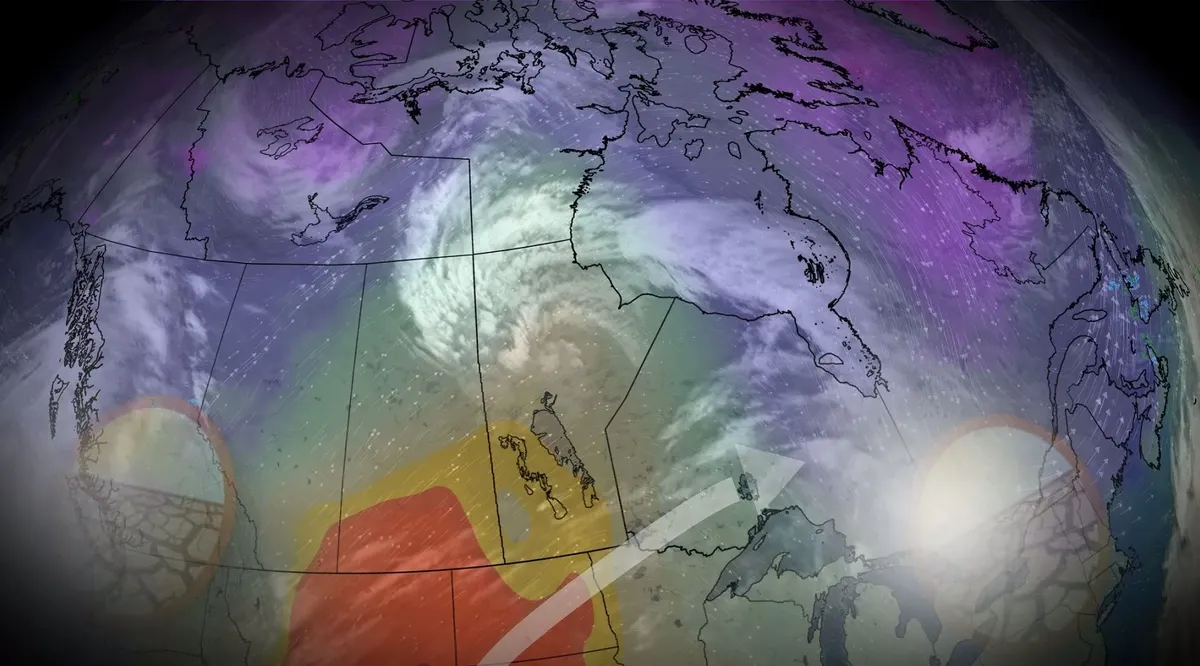
Canada, where did all the fall storms go?
While there have been some weather hiccups in October across Canada, one commonality is the lack of fall storms. The month has brought a very different flavour to parts of the country, compared to September's weather. October started with summer-like warmth in Ontario and Quebec, while the West endured some chilly temperatures. That pattern has since flipped. But there haven't been many of your typical fall storms this season, making for a super-dry pattern in many areas in Canada. Let’s dive into why the storms are absent so far. DON'T MISS: What does a classic fall storm look like in your part of Canada? What fuels fall storms? A split flow, in which the jet stream literally splits in two, will prove a prominent feature during the second half of October, promoting a less-consolidated jet stream that would otherwise impact the coast of British Columbia throughout autumn. Some of that energy is being redirected down toward California, a change that’s significantly affecting our weather patterns across Canada.
0 comments
No comments yet. Be the first to share your thoughts!