Poor weather in mountainous terrain may have played role in Squamish, B.C., crash, says TSB - CBC
This story deserves to be shared
Send it to someone who'd care, or post it on your networks.
This article is an excerpt. To read the full content, visit the original source. CBC
Related articles

Small plane's engine failed over Ottawa before fatal crash: TSB
Ottawa·NewA small plane that crashed into trees near the Ottawa International Airport last summer, killing the pilot, suffered engine failure while flying over a densely populated area of the capital, according to the Transportation Safety Report of Canada (TSB). July 2025 crash near Ottawa airport killed pilot, injured 2 passengersCBC News · Posted: Oct 23, 2026 1:41 PM EDT | Last Updated: 5 minutes agoListen to this articleEstimated 3 minutesThe audio version of this article is generated by AI-based technology. Mispronunciations can occur. We are working with our partners to continually review and improve the results. The four-seat Grumman American AA-5A crashed into trees about 960 metres short of the runway at the Ottawa International Airport, killing pilot Stéphane Tessier and injuring two passengers. (Transportation Safety Board of Canada)A small plane that crashed into trees near the Ottawa International Airport last summer, killing the pilot, suffered engine failure while flying over a densely populated area of the capital, according to the Transportation Safety Board of Canada (TSB). The TSB made its crash report public on Friday.

Warnings persist as high winds, heavy snow hit the Prairies
Steady snowfall will continue for a wide swath of the Prairies as a blustery low-pressure system continues trekking across the region. Calgary picked up measurable snowfall early Friday. Additional accumulations are likely toward the east, with some areas on the northern Prairies picking up as much as 50 cm of snow. Warnings remain in effect for both high winds and winter storm conditions. PHOTOS: Burst of October snow falls over major Canadian citiesThe large low-pressure system responsible for the early dose of wintry weather will continue lifting north as we head into Saturday, bringing heavy snowfall to the north and blowing snow to southern regions. Wind gusts of 50-80+ km/h will persist through Saturday across Saskatchewan and Manitoba, easing into the overnight hours. Sudden reductions in visibility are expected late Friday into early Saturday across southern Saskatchewan as brief but intense snowfall accompanies the gusty winds in the region. Content continues belowRELATED: What’s the snowiest month in your corner of Canada? High snowfall rates will continue into the weekend across northern portions of Saskatchewan and Manitoba, including Cree Lake and Black Lake.
Ex-Josephine brings high winds and maybe snow to East Coast
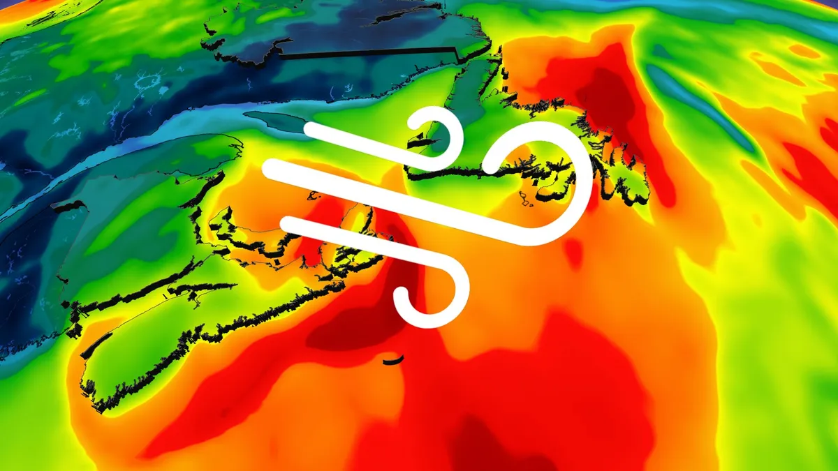
Parts of Atlantic Canada may be in for a rough start to the weekend, with forecasters keeping a close eye on the system formerly known as Subtropical Storm Josephine. The storm has been meandering up the Eastern Seaboard this week as a powerful low-pressure system but has now reached cold North Atlantic waters. DON'T MISS: Canada's Winter Sneak Peek: El Niño puts record warmth in playThe system will swipe southern Atlantic Canada with potent wind gusts, heavy rainfall, snowfall and three- to five-metre waves along the coastal areas, elevating the risk of flooding. Low-pressure systems exist on a spectrum between tropical and extratropical (non-tropical). Josephine has slipped across the spectrum in both directions several times over the past week. Originally a strong nor’easter, the system evolved into a subtropical storm on Wednesday before returning to its roots on Thursday. A subtropical storm is one that has characteristics of both a tropical and extratropical system, a sort of hybrid storm that can bring hazardous weather to the affected regions.
Storm Austen strikes Europe as an even stronger storm looms
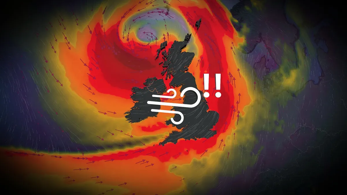
Winds gusted to nearly 130 km/h as powerful Storm Austen swept into western Europe to end the week. Forecasters warn that an even stronger storm will batter parts of the region heading into this weekend, threatening an additional round of powerful winds and heavy rain. DON’T MISS: How a powerful El Niño will affect people around the worldStorm Austen looked remarkable on satellite imagery as it strengthened over the northeastern Atlantic on approach to western Europe on Thursday and Friday. The centre of the powerful low-pressure system tracked east across the English Channel before weakening as it turned north over The Netherlands and Denmark late Friday. Heavy rainfall and intense winds hit Ireland, the U. K., as well as northwestern sections of mainland Europe. Gusts as high as 122 km/h at St. Mary’s Airport, off the southwestern tip of England. Another wind gust of 114 km/h occurred at a military base in Cornwall. Thousands of power outages were reported. Content continues belowStorm Boelo (pronounced ‘boo-loh’) will follow close behind, affecting northern portions of Ireland and the U. K. through Saturday and Sunday.
0 comments
No comments yet. Be the first to share your thoughts!