Nor'easter live tracker: Future radar, winds, storm surge, rain and alerts
This story deserves to be shared
Send it to someone who'd care, or post it on your networks.
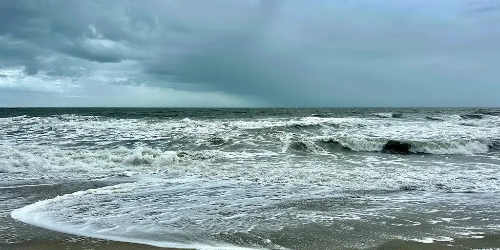
Here is everything you need to know about the nor'easter, including future radar, wave heights, wind speed, alerts and more.
THE TAKEAWAYDays of dangerous conditions are expected through the workweek as a nor'easter develops. The storm could bring high surf, strong winds, coastal flooding and severe beach erosion. Impacts from the multiday storm could last through the weekend. A brewing nor'easter has the potential to cause significant impacts as it batters the East Coast this week. Parts of the East Coast will be battered by gusty winds and rain through the workweek as the first nor'easter of fall develops. TIMELINE: HERE'S WHERE AND WHEN MAJOR US CITIES WILL SEE IMPACTS FROM THE DEVELOPING NOR'EASTERThe storm is expected to emerge off the coast toward the end of the week and could bring high surf, strong winds, coastal flooding and severe beach erosion through the weekend. next
This article is an excerpt. To read the full content, visit the original source. Fox Weather
Related articles
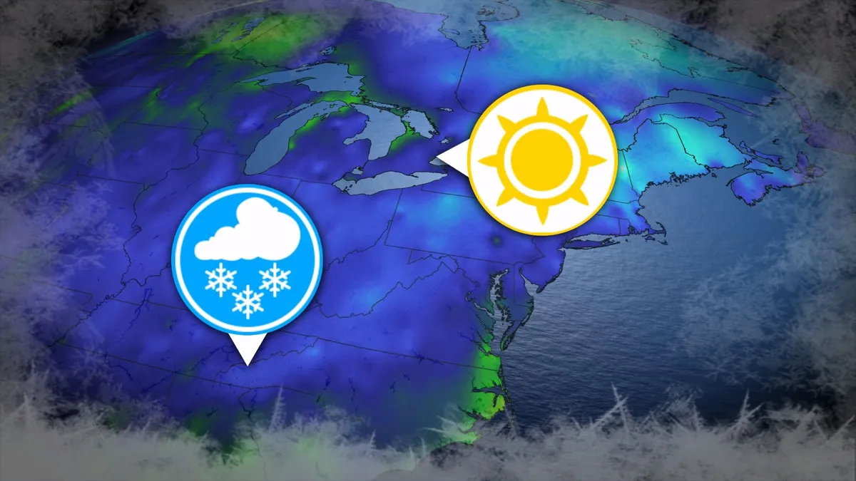
Where’s the frost? Southern U.S. hits freezing before Toronto, Montreal
Toronto and Montreal have remained above the freezing mark every day for almost six months. While frosts and even some snowflakes have intruded across parts of Ontario and Quebec in recent weeks, the two cities have yet to reach that magic number. What’s even more remarkable is that a handful of communities across the southern United States have already dipped to the freezing point--and some have even seen accumulating snowfall. DON’T MISS: Official: Canada records first -30°C reading of the seasonThe last time we saw a freezing temperature in either Toronto or Montreal was the second-to-last week of April. Toronto hit -1.3°C early on April 20, while Montreal dipped to -2.0°C the following morning. Our average first frost in both cities occurs right around the middle of October. But warmer-than-normal years can see this milestone slide several weeks past due. Montreal once had to wait 207 consecutive days for its first frost, with the city’s first subfreezing temperature in 2017 waiting until Nov. 7. The latest Toronto’s had to wait to hit the zero-degree mark was Nov. 13, 2022.
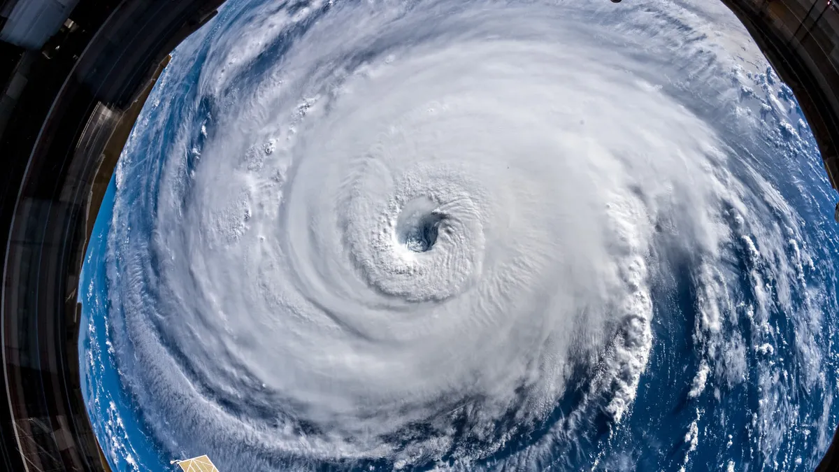
345 km/h: Meet the world’s strongest tropical cyclones
Tropical cyclones top the list of nature’s most powerful storms. Larger than tornadoes and more intense than any single thunderstorm, these systems can change the landscape when they swirl ashore. A handful of tropical cyclones take full advantage of their surroundings to achieve the apex of their potential, the strongest storms nature can produce. DON’T MISS: What’s the difference between hurricanes, typhoons, and cyclones? Tiny fraction of storms achieve upper limitsOnly about 4 per cent of all the world’s recorded tropical cyclones have reached the equivalent of Category 5 strength. Most tropical cyclones are relatively weak and short lived because it’s tough for all the necessary ingredients to align just right. But explosive development can result when all those factors come together in perfect harmony. Strongest Winds: Hurricane PatriciaAn exceptionally favourable setup off the western shores of Mexico in late-Oct. 2015 allowed Hurricane Patricia to grow into the world’s strongest hurricane since reliable observations began in 1966.
0 comments
No comments yet. Be the first to share your thoughts!