Montreal weather: We’re on a slippery slope toward more freezing rain - Montreal Gazette
This story deserves to be shared
Send it to someone who'd care, or post it on your networks.
This article is an excerpt. To read the full content, visit the original source. Montreal Gazette
Related articles
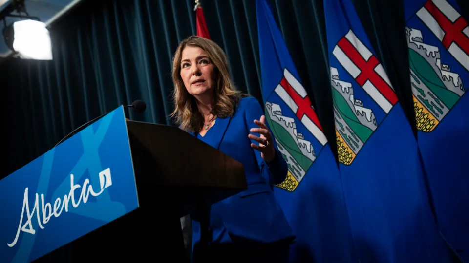
Is Alberta on a slippery slope of economic interventionism?
State capitalism and economic interventionism are on the rise. Normally the remit of authoritarian states or leftist governments, economic intervention is becoming more common even amongst free market champions. The most startling example is the Trump administration—ostensibly a conservative Republican government—and its frequent use of direct equity ownership, golden shares, and provisions for first-right-of-refusal. Dirigisme has long been a part of the economic fabric in Quebec, and the trait has often spilled over into Ottawa. Laurentian capitalism, as The Hub christened it, was frequently practiced by the Justin Trudeau Liberals, from EV battery plants to clean manufacturing. The Carney government, while a vast improvement on this front, is still “spending less, investing more,” from hydro dams and mining stakes to a new sovereign wealth fund.
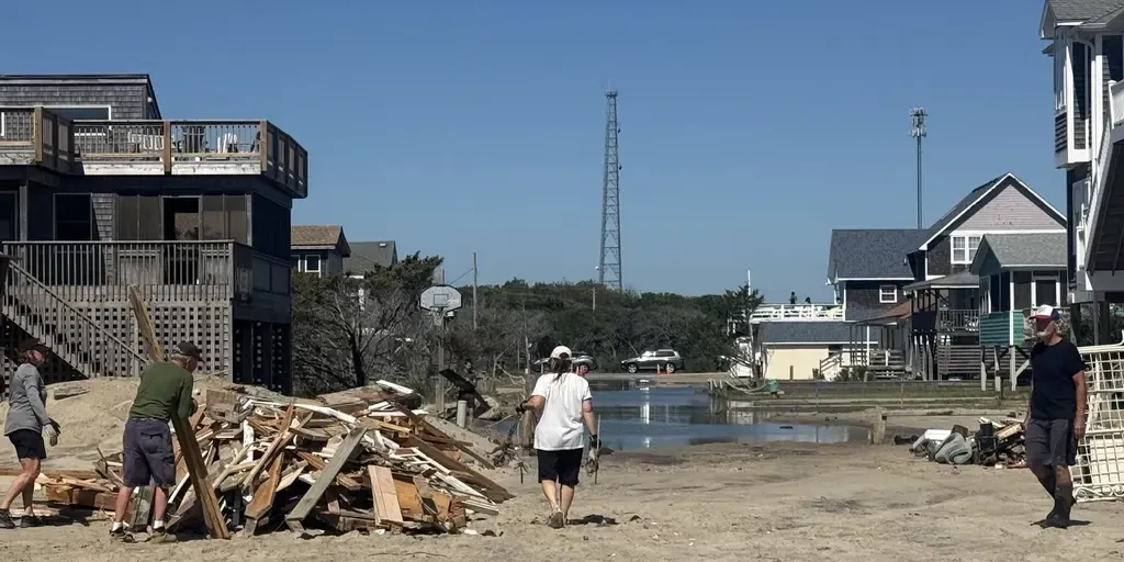
Brewing nor’easter threatens East Coast with days of coastal flooding, strong winds and pounding surf
The next fall nor’easter is brewing off the North Carolina coast, setting the stage for extensive impacts throughout the week. The National Hurricane Center is now highlighting this area for potential tropical development, with a 30% chance over the next seven days. WHAT IS A NOR’EASTER? Regardless of tropical development, the Outer Banks are expected to see long-term impacts, including intense wind gusts from the approaching nor’easter, while the storm sits off the coast. The main concern for the Outer Banks region will be intense wind gusts as strong as 40 to 60 mph, fueling moderate coastal flooding and destructive waves. A mandatory evacuation for locals on Hatteras Island is in effect, as storm conditions are expected to worsen, with the potential for significant ocean overwash. This graphic shows the Wind Alerts for the upcoming Nor’easter.(FOX Weather) According to the FOX Forecast Center, the impacts will last through late Wednesday evening and into Thursday, totaling three days of nasty storms with ferocious wind gusts.
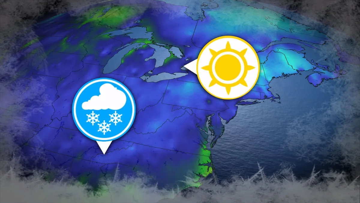
Where’s the frost? Southern U.S. hits freezing before Toronto, Montreal
Toronto and Montreal have remained above the freezing mark every day for almost six months. While frosts and even some snowflakes have intruded across parts of Ontario and Quebec in recent weeks, the two cities have yet to reach that magic number. What’s even more remarkable is that a handful of communities across the southern United States have already dipped to the freezing point--and some have even seen accumulating snowfall. DON’T MISS: Official: Canada records first -30°C reading of the seasonThe last time we saw a freezing temperature in either Toronto or Montreal was the second-to-last week of April. Toronto hit -1.3°C early on April 20, while Montreal dipped to -2.0°C the following morning. Our average first frost in both cities occurs right around the middle of October. But warmer-than-normal years can see this milestone slide several weeks past due. Montreal once had to wait 207 consecutive days for its first frost, with the city’s first subfreezing temperature in 2017 waiting until Nov. 7. The latest Toronto’s had to wait to hit the zero-degree mark was Nov. 13, 2022.
0 comments
No comments yet. Be the first to share your thoughts!