Curiosity rover spots ancient sea of Martian polygons - Popular Science
This story deserves to be shared
Send it to someone who'd care, or post it on your networks.
This article is an excerpt. To read the full content, visit the original source. Popular Science
Related articles
NASA’s Curiosity Discovers a Field of Martian Polygons - NASA Science (.gov)
Study creates first comprehensive map of Martian soils - Xinhua
SYDNEY, Oct. 17 (Xinhua) -- An Australian study has produced the first comprehensive classification system and map of Martian soils, offering a framework to help scientists identify potential locations for future exploration, habitation and food production. The research classifies almost 800 million locations across Mars into a hierarchy of 2,000 soil classes using orbital observations and models, presenting a global map showing where they occur, according to a statement released by Australia's University of Sydney. "Scientists have mapped Mars' geology, mineralogy and chemistry before, but our system brings together multiple properties into a single framework, helping us understand how different Martian soils relate to one another and where they're found," said Daniel Irving, a PhD student at the university, who led the research. The classification system groups Martian soils into 10 major "realms," 100 "assemblages" and 2,000 detailed "forms" based on properties including texture, mineralogy, pH and profile thickness. As a proof of concept, researchers assessed the soil classes for characteristics relevant to plant production.
Japan Poised To Launch Mission To Martian Moons - Aviation Week
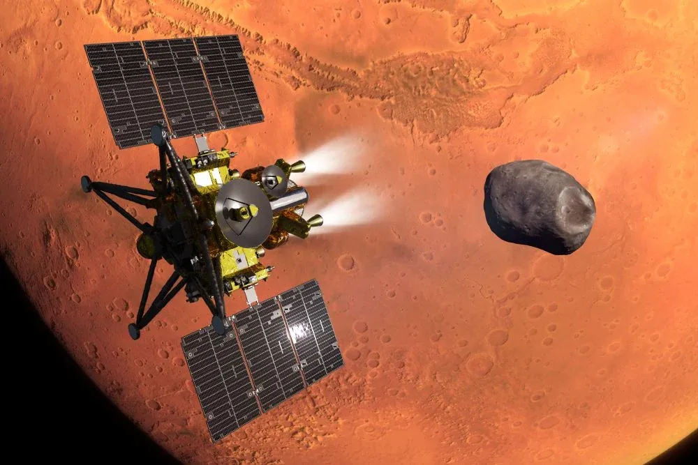
Concept of JAXA’s MMX spacecraft during its Mars orbit insertion, with the moon Phobos in the background. A pioneering mission to study a pair of Martian moons and return a 10-gram soil sample to Earth is being prepared for launch Oct. 19 from Japan’s Tanegashima Space Center. If successful, the Martian Moons Exploration (MMX) mission will add the first samples of Martian real estate to the world’s...

NASA’s SkyFall helicopters will scan the Martian surface in search of ice - Universe Space Tech
Three helicopters NASA is preparing to send to Mars will be able to fly hundreds of kilometers across the planet. The data they collect should help prepare for human landings. Scientists are getting ready to select the location where the helicopters will begin their work. Their focus is on plains that may contain deposits of frozen water beneath the surface. Artist’s illustration of NASA’s planned SkyFall helicopters descending toward the Martian surface. Credit: AeroVironment

Sydney student creates first map of Martian soils - EurekAlert!
image: PhD candidate Daniel Irving at the University of Sydney A PhD student at the University of Sydney has produced the first comprehensive classification system and map of Martian soils, creating a new framework that could help scientists compare landscapes across the Red Planet and identify promising locations for future exploration, habitation and food production.
Curiosity rover camera reveals “most detailed view yet” of distant Martian cliffs with fantastic sunrise panorama - Digital Camera World
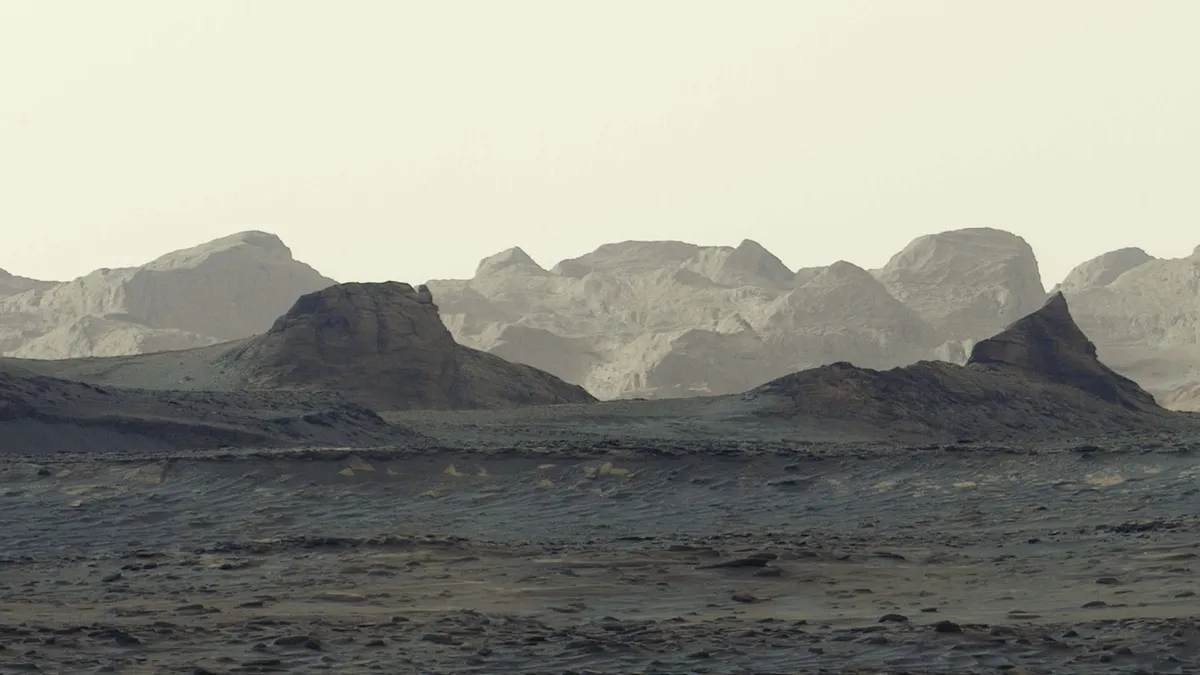
NASA's rover beamed back a series of shots depicting wind-carved crags on Mars illuminated by golden dawn light, which the space agency made into a panorama
0 comments
No comments yet. Be the first to share your thoughts!