Building a Geospatial Strategy for Water: Aligning People, Processes, and Technology for Success - Esri
This story deserves to be shared
Send it to someone who'd care, or post it on your networks.
This article is an excerpt. To read the full content, visit the original source. Esri
Related articles
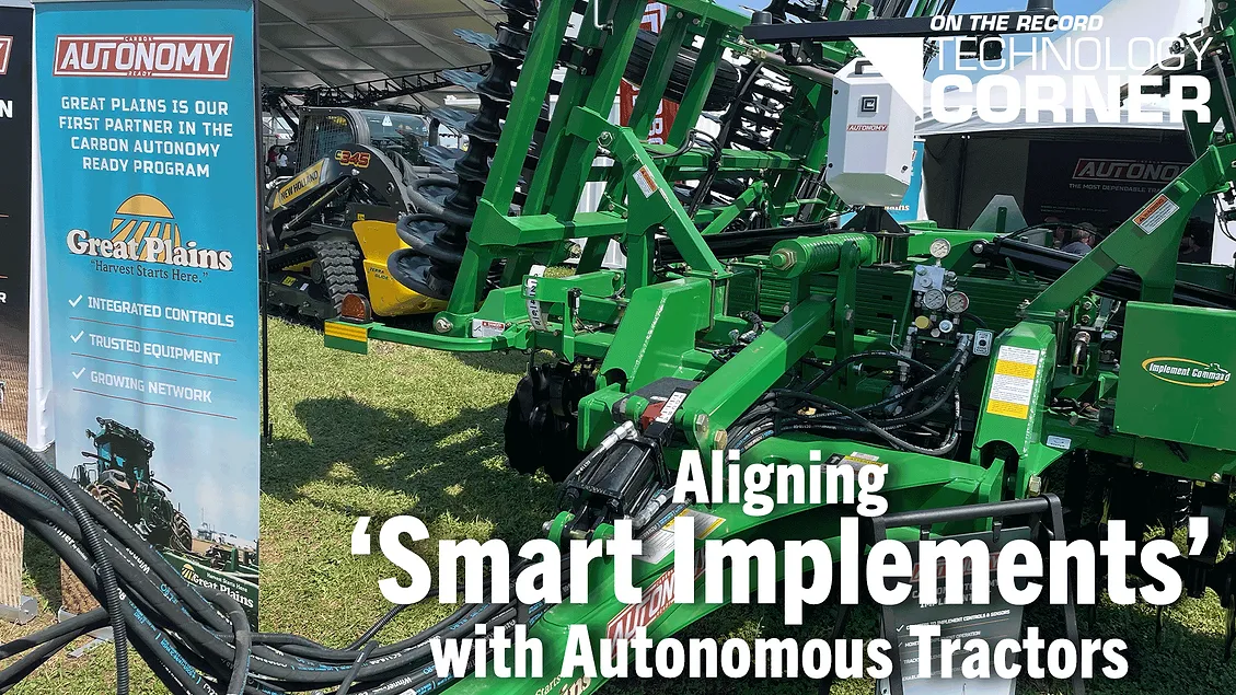
[Technology Corner] Aligning ‘Smart Implements’ with Autonomous Tractors - Precision Farming Dealer
Precision Farming Dealer® and Precision Farming Dealer Summit® are registered trademarks of Lessiter Publications, Inc.
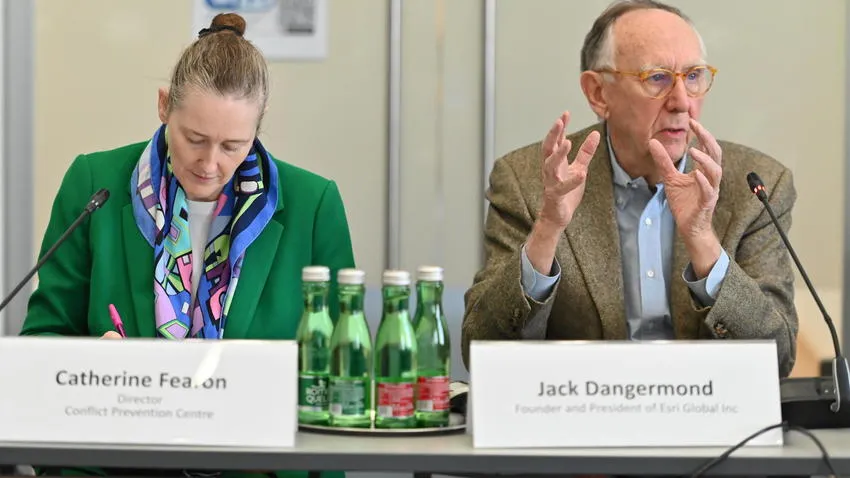
Geospatial Technology as an OSCE Tool for Co-operative Security - Organization for Security and Co-operation in Europe
The OSCE convened a high-level event in Vienna on 16 September to explore how geospatial technology can support co-operative security, strengthen shared situational awareness and help multilateral institutions make more informed decisions. Titled “Where Data Meets Diplomacy: Geospatial Technology for Co-operative Security”, the event brought together OSCE participating States and Partners for Co-operation, and OSCE officials for an exchange with Jack Dangermond, Founder and President of Environmental Systems Research Institute (Esri), a leading global provider of Geographic Information System (GIS) technology used by governments, international organizations, the private sector, academia and civil society. Opening the event, Kate Fearon, Director of the OSCE Conflict Prevention Centre (CPC), underlined that responsible innovation must serve the Organization’s mandates and commitments across all three dimensions of security. “Geospatial technology can help us turn fragmented information into a clearer shared picture — supporting early warning, operational planning and safety and security — but it cannot replace diplomacy, political judgement or field experience,” Fearon said.
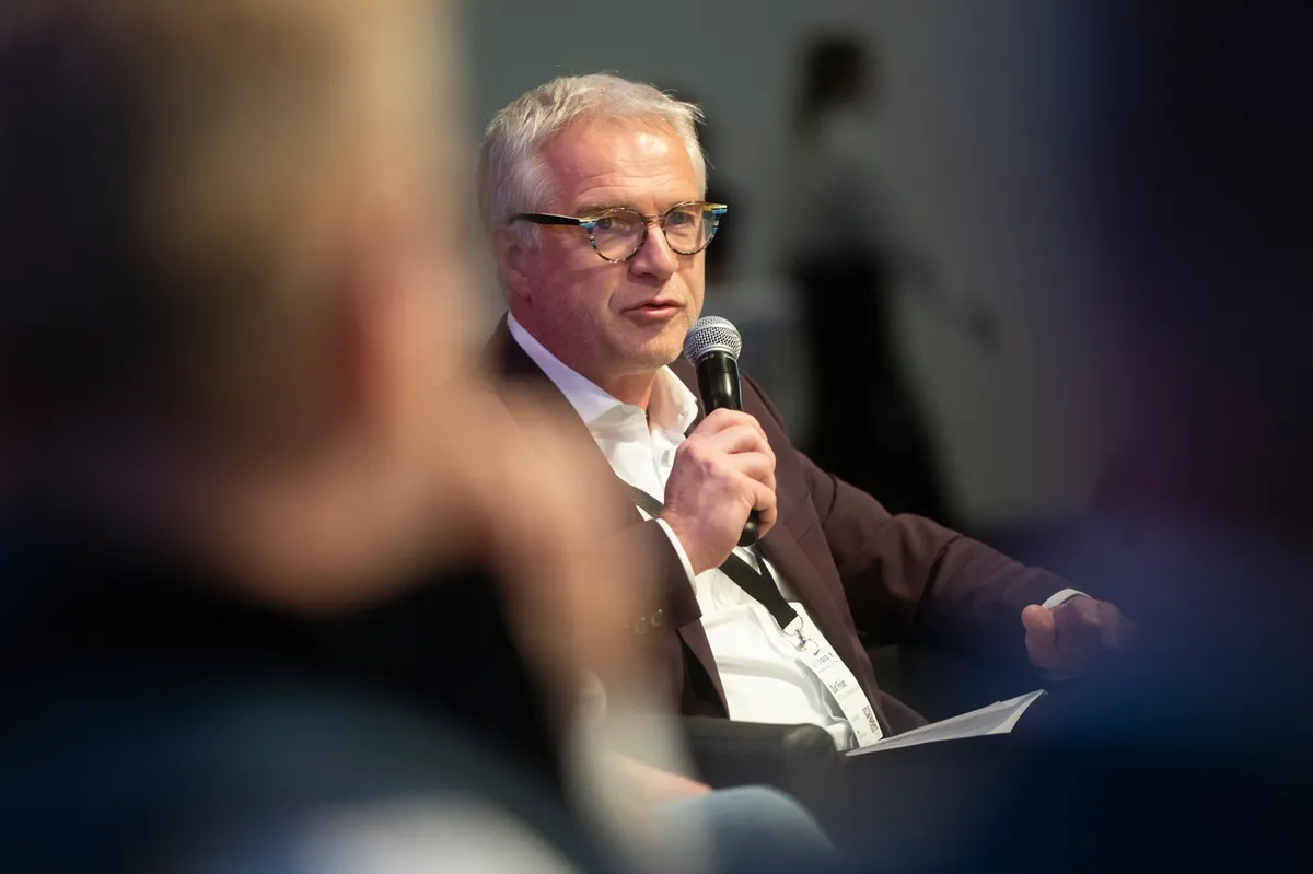
Driving real-world solutions with geospatial technology - GIM International
ArticleInterview with Olaf Freier, Hinte Expo and Conference September 8, 2026As chief strategy officer at Hinte Expo and Conference, operational partner of the German Association for Geodesy, Geoinformation and Land Management (DVW), Olaf Freier plays a pivotal role in shaping Intergeo’s development. For him, one common thread runs through all three days of this leading annual industry event: geospatial technology driving real-world solutions. In this Q&A, he discusses why the concept of trade shows is far from old-fashioned, provides a behind-the-scenes glimpse of how Intergeo comes together and reveals his hopes and expectations for this year’s edition. A trade show is an almost ‘old-fashioned’ concept in today’s digital world. What is it that keeps this format working so well, year after year? I wouldn’t call it old-fashioned at all. If anything, the more digital our industry becomes, the more valuable the physical encounter gets. What geospatial technology delivers, and the insights we draw from analysing it, has become an enabler for solutions in construction, energy, mobility, agriculture and urban planning.
0 comments
No comments yet. Be the first to share your thoughts!