Atlanta Weather: Heat, Humidity & Pop-up Storms — June 9, 2026
This story deserves to be shared
Send it to someone who'd care, or post it on your networks.
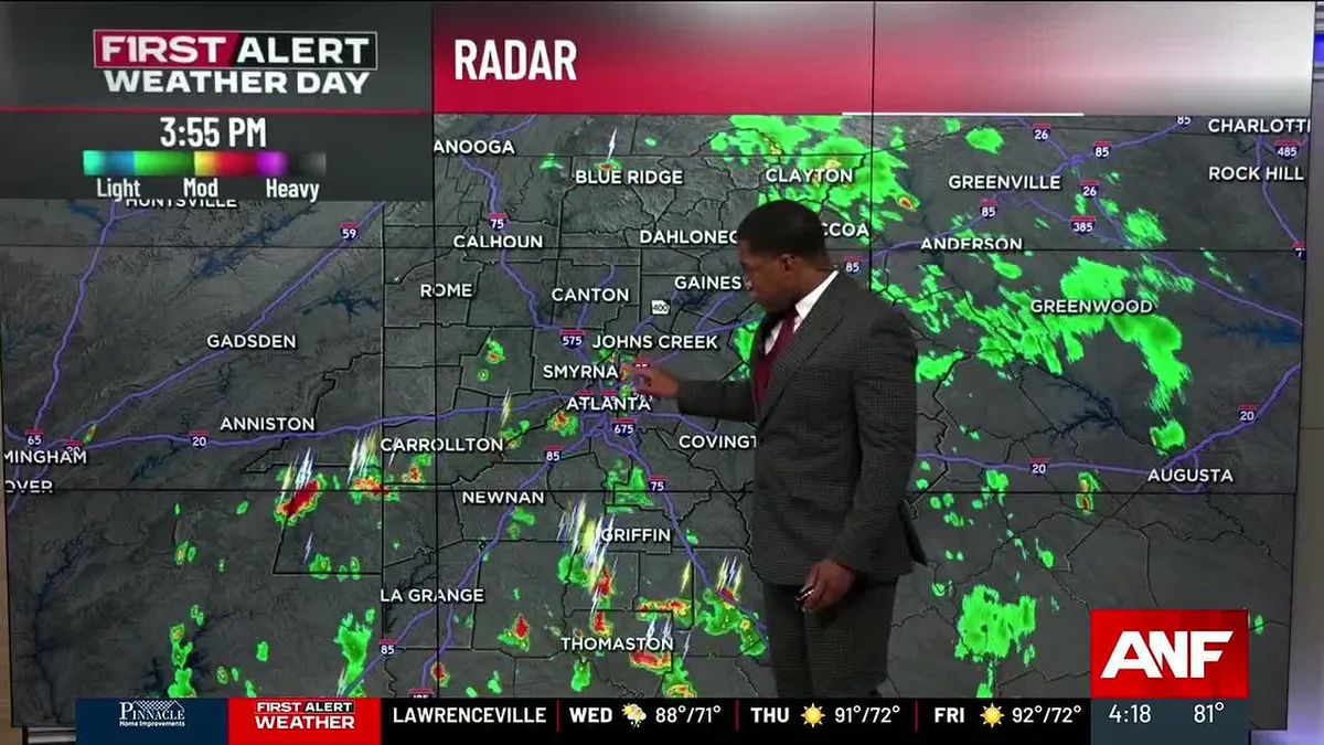
ATLANTA, Ga. (Atlanta News First) — Buckle up, North Georgia. We’ve got quite a week ahead. After scattered storms move through tonight and Wednesday, things are going to heat up and get muggy through the weekend. But here’s the big story: Monday and Tuesday are shaping up to be First Alert Weather Days with widespread rain moving in. Tonight and Wednesday: Storms Rolling ThroughSpotty showers and thunderstorms are going to continue through this evening as a system moves across the area. If you’re heading out, watch out for heavy rainfall in spots. Wednesday? Things calm down a bit. You’ll still see a few scattered storms pop up in the afternoon, but nothing organized. It’s going to be hot and humid though — highs in the upper 80s to low 90s, but it’ll feel more like the mid to upper 90s when you factor in the humidity. Thursday Through Saturday: Summer Heat Kicks InThis is classic summer weather in North Georgia. Expect scattered afternoon and evening thunderstorms popping up each day — that’s just what happens when it’s this hot and humid. When these storms develop, lightning will be frequent and dangerous.
This article is an excerpt. To read the full content, visit the original source. The Weather Channel
Related articles
Atlanta Weather: Heat & Humidity Rising, Rain Next Week — June 10, 2026
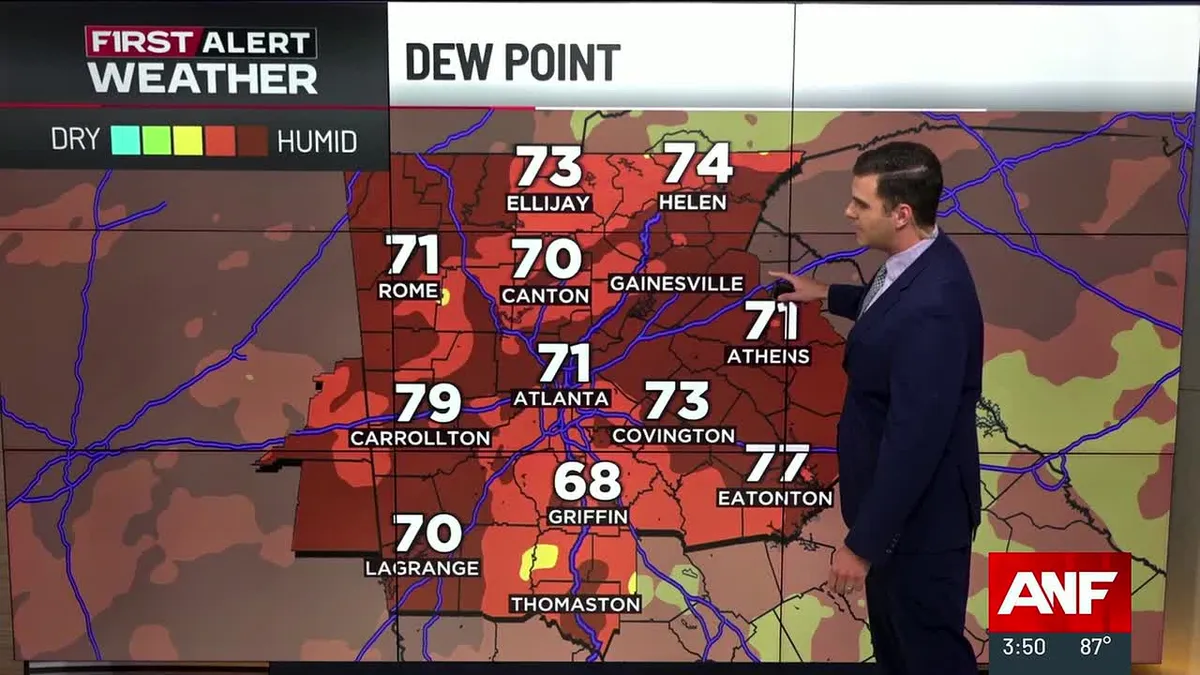
ATLANTA, Ga. (Atlanta News First) — North Georgia is heading into a summery through the weekend with heat index values climbing into the mid to upper 90s. More widespread rain chances return by early next week. Tonight Through Thursday: Hot and HumidExpect warm and muggy conditions tonight with lows only dropping to the low 70s — barely any relief from the daytime heat. Thursday will bring another hot day with highs in the low 90s, but the real story is the heat index. With dewpoints in the 70s, afternoon heat index values will climb into the mid to upper 90s — hot enough to make outdoor activities feel uncomfortable and be dangerous if you don’t stay hydrated. Isolated to scattered showers and thunderstorms are possible each afternoon, but coverage will be limited. If a storm does develop near you, watch for frequent lightning and heavy rainfall before it quickly moves out. Friday and Saturday: Peak Heat ContinuesThe hot pattern continues through the weekend with typical summer weather — hot, humid, and a daily chance of afternoon thunderstorms. Highs will remain in the low to mid 90s, with heat index values around 95-100 degrees across North Georgia.
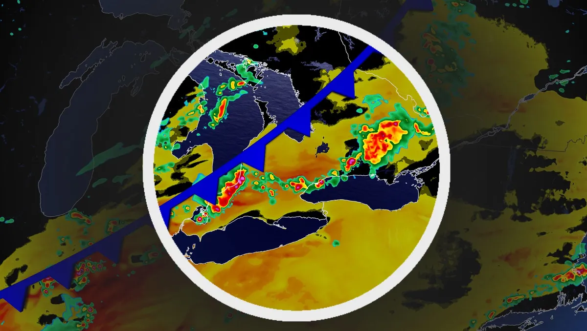
Ring of fire pushes a late-summer humidity surge into southern Ontario
Summer may be on its way out, but a warm, humid air mass associated with the season won't in such a hurry to leave southern Ontario, yet. Visit our Complete Guide to Fall 2026 for an in depth look at the Fall Forecast, tips to plan for it and much more! Expect cloudy periods with a few rounds of rain and thunderstorms next week as southern Ontario will be included in the ring of fire, with very hot and humid conditions situated over the Mississippi Valley. Be sure to stay alert to the changing conditions, and check for any weather warnings in your area. Sticky air mass as summer not ready to depart, yetA surface high establishes over the southern Mississippi Valley early next week. That means a hot and humid air mass will builds over the valley and the Southern Plains. As a result, the muggy and unsettled air mass will be transported into parts of southern Ontario. With the humid conditions in play, folks stuck with the muggy air mass in southern Ontario may see daily showers and/or thunderstorms through the second half of the work week, and potentially into next weekend.
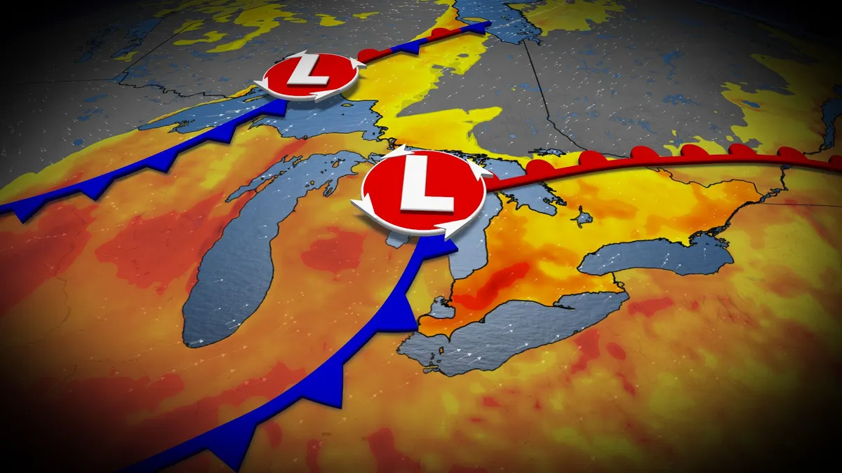
Late-summer heat, humidity fuels southern Ontario thunderstorm risk
After the severe flooding, damaging winds, and tornadoes across parts of Ontario last Wednesday, a storm-free week would be welcome news. Unfortunately, that isn’t the case as an upper trough moves across the Great Lakes throughout the day on Wednesday. That means an elevated risk of thunderstorms, possibly severe, in a swath of southern Ontario, with heavy rain, gusty winds and localized flooding as the main threats. DON'T MISS: Vaughan: Road collapses into river after Wednesday's dangerous stormsBe sure to stay alert to the changing conditions, and check for any weather warnings in your area. Heat, humidity sneaks in for midweek storm threat in southern OntarioAs the Prairie low lifts across northwestern Ontario and moves into Hudson Bay, a more muggy southerly flow will develop across the heart of Ontario. Temperatures will climb into the mid-20s by Tuesday and Wednesday, with Windsor and Sarnia making a challenge at 30 degrees. On Wednesday, moisture values reach their peak across southern Ontario, along with the available energy to develop thunderstorms ahead of the cold front.

How humidity canceled a volleyball match at Wrigley Field
The Nebraska Cornhuskers help dry the playing surface against the Missouri Tigers at Wrigley Field on September 6, 2026 in Chicago, Illinois.(Jamie Schwaberow/NCAA Photos via Getty Images)Forget rain delays. Wrigley Field just experienced a humidity cancellation. It happened as college volleyball made its historic, outdoor debut at the iconic baseball stadium during the Big Ten/SEC Volleyball Challenge Week. More than 43,000 fans packed the stadium Sunday night, only to watch weather conditions force a match off the court. The first matchup, Kentucky versus Penn State, went off without a hitch. But by the time No. 1 Nebraska took to the field against Missouri, things had turned ... soggy. Teary Sigler #11 and Harper Murray #27 of the Nebraska Cornhuskers help dry the playing surface against the Missouri Tigers at Wrigley Field on September 6, 2026 in Chicago, Illinois.(Jamie Schwaberow/NCAA Photos via Getty Images)The match was suspended in the first set, with Nebraska leading 11–7, after players repeatedly slipped and slid across the court. Get More of Our News on GoogleSet The Weather Company as a 'Preferred Source' to get quicker access to the news you value. The culprit?
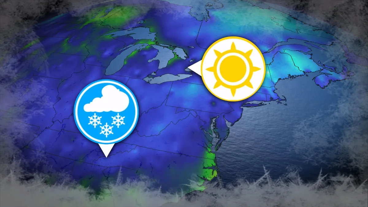
Where’s the frost? Southern U.S. hits freezing before Toronto, Montreal
Toronto and Montreal have remained above the freezing mark every day for almost six months. While frosts and even some snowflakes have intruded across parts of Ontario and Quebec in recent weeks, the two cities have yet to reach that magic number. What’s even more remarkable is that a handful of communities across the southern United States have already dipped to the freezing point--and some have even seen accumulating snowfall. DON’T MISS: Official: Canada records first -30°C reading of the seasonThe last time we saw a freezing temperature in either Toronto or Montreal was the second-to-last week of April. Toronto hit -1.3°C early on April 20, while Montreal dipped to -2.0°C the following morning. Our average first frost in both cities occurs right around the middle of October. But warmer-than-normal years can see this milestone slide several weeks past due. Montreal once had to wait 207 consecutive days for its first frost, with the city’s first subfreezing temperature in 2017 waiting until Nov. 7. The latest Toronto’s had to wait to hit the zero-degree mark was Nov. 13, 2022.
0 comments
No comments yet. Be the first to share your thoughts!