Arctic Sea Ice Minimum Extent - Earth Indicator - NASA Science (.gov)
This story deserves to be shared
Send it to someone who'd care, or post it on your networks.
This article is an excerpt. To read the full content, visit the original source. NASA Science (.gov)
Related articles
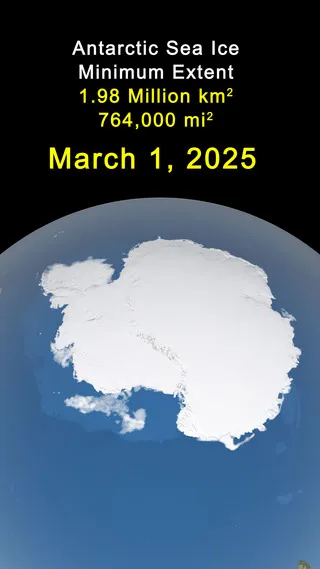
Arctic Sea Ice Reaches 2026 Annual Minimum Extent - NASA Science (.gov)
Arctic sea ice reached its annual minimum extent on Sept. 12, according to NASA and the National Snow and Ice Data Center (NSIDC) at the University of Colorado Boulder. The ice covered an estimated 1.78 million square miles (4.6 million square kilometers), tying 2008, 2010, and 2025 for the 10th-lowest minimum in the satellite record. The 2026 minimum is consistent with patterns observed in the satellite record. The past 20 years, from 2007 through 2026, have produced the 20 lowest annual Arctic sea ice minimum extents observed since continuous satellite measurements began in late 1978.
0 comments
No comments yet. Be the first to share your thoughts!