50-100 mm: Soaking spring rains, stormy week ahead in southern Ontario - The Weather Network
This story deserves to be shared
Send it to someone who'd care, or post it on your networks.
This article is an excerpt. To read the full content, visit the original source. The Weather Network
Related articles
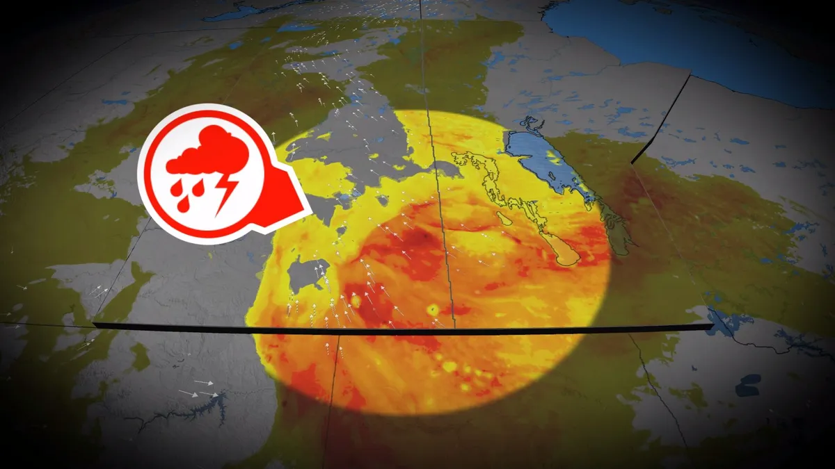
Stormy pattern keeps soaking the Prairies
Another round of rain and thunderstorms is expected to hit the southern Prairies on Monday, as an increasingly organized low-pressure system moves north from the south. Showers and storms will form in multiple clusters throughout the day, moving northeast to northwestern Ontario by Monday evening. Some storms could become severe, with damaging hail and heavy rainfall being the main threats. Rainfall totals will vary greatly, with Saskatchewan and western Manitoba receiving the heaviest amounts. CHECK OUT: How the weather could be influencing your music tasteWet weather lingers into TuesdayThe system will linger in parts of the Prairies until Tuesday before gradually clearing. Heavy rains could cause localized flooding and slow the fall harvest, while areas downstream in Alberta should keep an eye out for rising water levels as rain falls across the Rockies and Foothills, which serve as a source for several major rivers. The wet pattern may also bring hail to crops and buildings as storms pass through. Stay with The Weather Network for the latest updates across the PrairiesWATCH: El Niño almost certain to continue into winter with historic strength
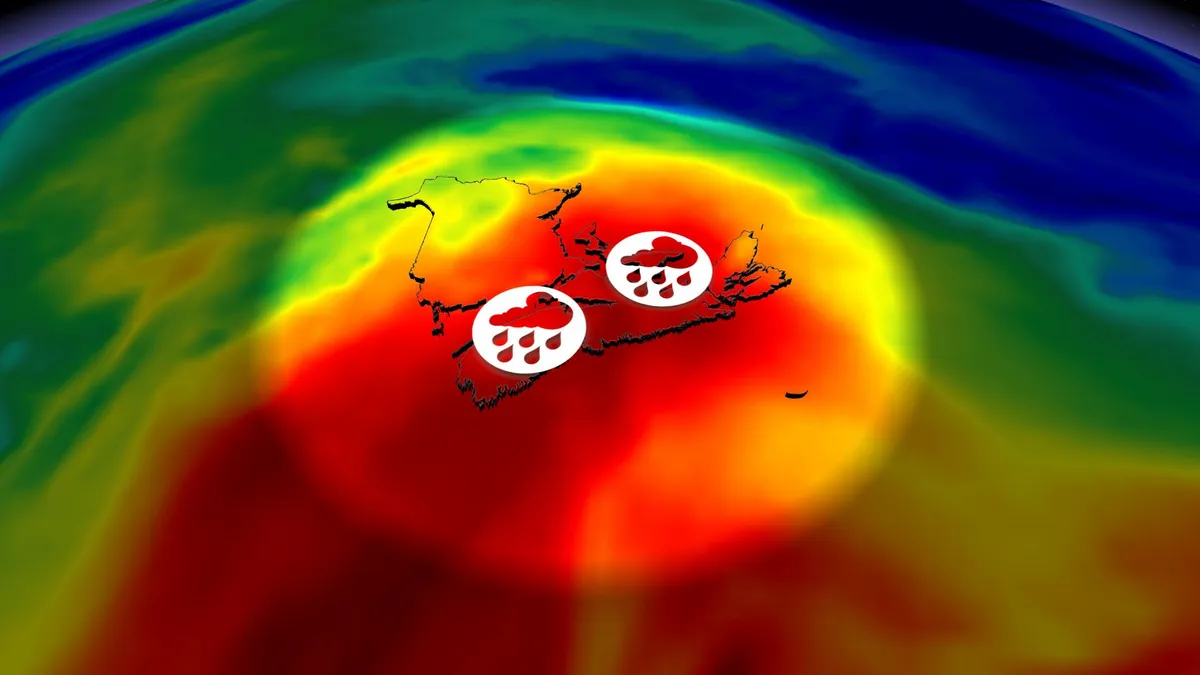
Flood risk rises on the East Coast with soaking rains this weekend
A rough holiday weekend is in store for much of Atlantic Canada as a stagnant pattern brings widespread heavy rainfall to the region. Some areas could see more than 100 mm of rain through Monday, which could lead to flooding and road washouts in the hardest-hit communities. DON’T MISS: Canada’s Labour Day weekend holds heavy rain and sunny skiesWet, windy weekend on tap for the East CoastHeavy rainfall gradually spread back toward the west into Saturday, covering New Brunswick, Prince Edward Island, and Nova Scotia. Expect showers to move back into the Halifax area. Winds will increase Saturday afternoon as the low-pressure system deepens, with 50-80 km/h east-northeasterly gusts possible in exposed, coastal areas. Rain engulfs much of southern and central Newfoundland by late Saturday afternoon. We’ll see the rain taper off from west to east across the Maritimes overnight Saturday into early Sunday. Content continues belowAn axis of steady rainfall sits over central and northern Newfoundland by late Sunday afternoon while scattered showers are possible on the Avalon. Peristent showers will linger on P. E. I., and in north-central Nova Scotia and eastern Cape Breton.
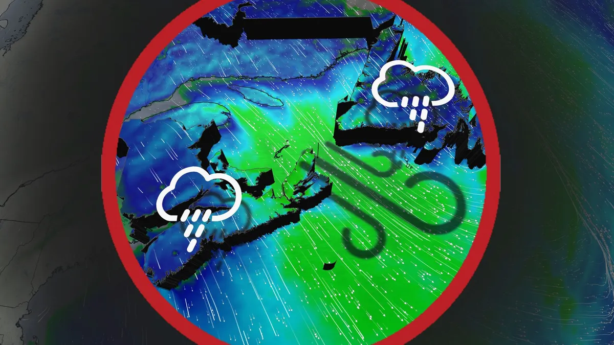
Stormy start to the weekend: More rain and wind hit East Coast
Clashing Arctic and Gulf air masses drive persistent rain and stormy weather across Atlantic Canada through the week's end. A stalled high pressure system over the southeastern U. S. is funnelling moisture northward, while a cold high pressure system near Hudson Bay is steering an active storm track from the Prairies toward the region. DON'T MISS: Canada's Winter Sneak Peek: El Niño puts record warmth in playRainfall amounts of 20-40 mm are expected across the Maritimes and Newfoundland by Sunday, with higher localized totals likely along southern Nova Scotia and Newfoundland’s coast. Thursday: Lingering rain showers and gusty northwesterly windsRainfall will taper across Newfoundland from west to east in the afternoon. However, wraparound rain showers will persist through the day, reaching the Avalon region by evening and clearing overnight. P. E. I and Cape Breton will also see morning showers, clearing by the afternoon. Gusty northwesterly winds will develop over Newfoundland and along parts of the Maritimes' eastern shores.
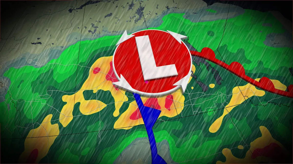
Wet, possible stormy Sunday on tap on the Prairies amid unsettled pattern
An upper-level trough and abundant, tropical moisture will lead to significant rainfall for parts of the Prairies this weekend, creating localized flooding concerns. Rainfall totals of 40-80+mm will affect a large swath of the region through Tuesday, with areas that see thunderstorm activity possibly exceeding 100 mm of accumulation. DON’T MISS: Canada’s Labour Day weekend holds heavy rain and sunny skiesOn Sunday, forecasters will be watching the Saskatchewan-Manitoba border for the potential of severe storms, including the chance of supercells and a low, but non-zero, tornado risk. Risk of severe storms on SundayWet and unsettled conditions are expected across Alberta on Sunday as periods of rain continue, especially in southern areas. Farther east, in Saskatchewan and Manitoba, thunderstorms moved through Sunday morning and will continue to be a risk in the afternoon and evening as they move into the latter province. For areas around the Saskatchewan-Manitoba border we are watching for the risk of stronger storms, with the chance for supercells to develop. That will bring all severe weather risks on the table, even a low, but non-zero, tornado risk.
0 comments
No comments yet. Be the first to share your thoughts!