Steep temperature drop could bring Ontario its first snowflakes - The Weather Network
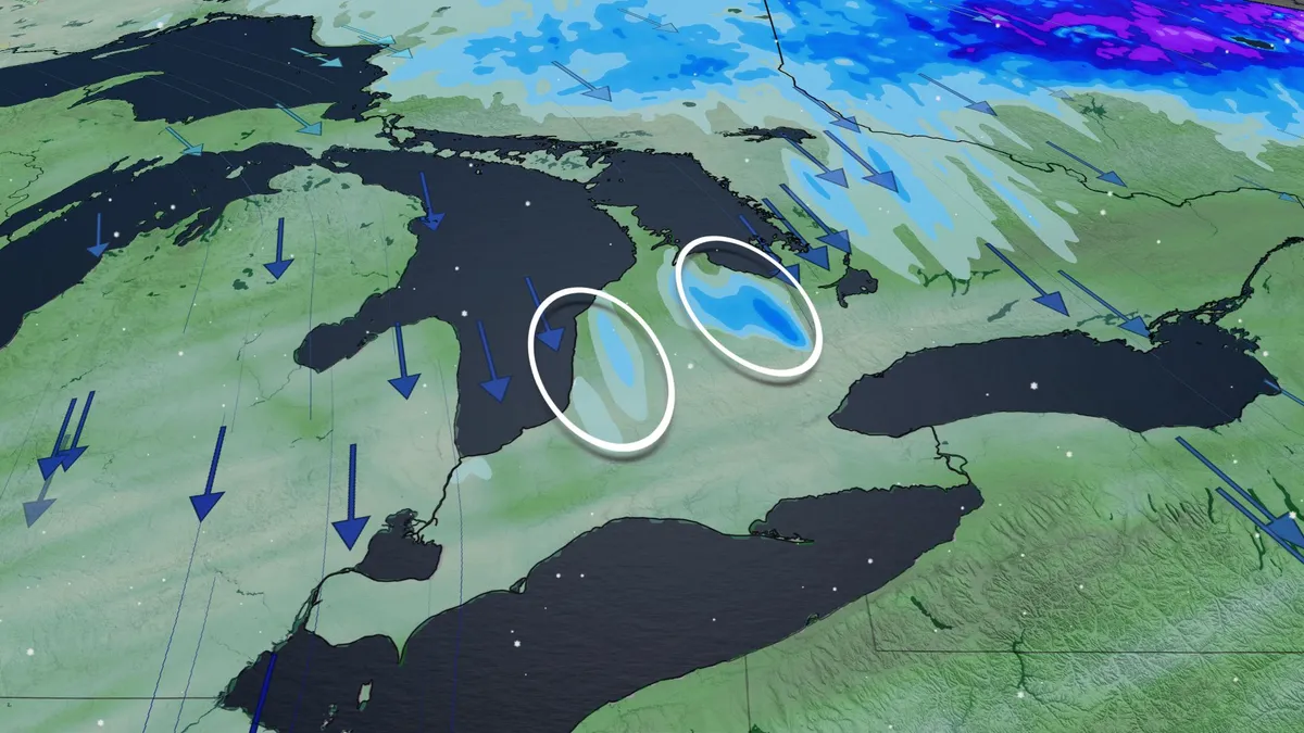
An incoming fall storm is bringing rain and strong winds to Ontario on Friday, followed by a sharp drop in temperatures that could deliver the season’s first lake-effect snowflakes to parts of southern Ontario. Temperatures will fall sharply behind the departing system, with the coldest conditions expected overnight Friday into Saturday. DON'T MISS: Winter snowfall across Canada may fall victim to El NiñoRain eases as cold air moves inRain will gradually ease across much of Ontario through Friday, although scattered showers are expected to linger. Rainfall totals could reach 20-30 mm in parts of eastern Ontario, with locally higher amounts possible. Behind the storm, strong northerly winds will usher in much colder air, with gusts near 50 km/h. The winds will also generate higher-than-normal waves along the Great Lakes shorelines. Temperatures will drop rapidly overnight, with some inland areas potentially reaching or falling below the freezing mark.