Fall blast sends temperatures tumbling across the US
This story deserves to be shared
Send it to someone who'd care, or post it on your networks.

By the end of the weekend, most of the country, from Texas to New England, will experience its coldest air since the spring.
THE TAKEAWAYA powerful cold front is sweeping across parts of the country. The cold front is expected to impact much of the central and eastern U. S. Some areas will see temperatures plummet by 40 degrees. A powerful cold front swept across parts of the U. S., causing temperatures to tank for millions in the U. S., bringing the late-season heat wave to a screeching halt. FALL ALLERGIES OR A COLD? HERE’S HOW TO TELL WHAT’S MAKING YOU MISERABLEThe cold front impacted much of the central and eastern U. S., causing temperatures to plummet by more than 40 degrees. The expected temperatures across the U. S. on Saturday.(FOX Weather) Over 60 million Americans are under frost and freeze alerts as the powerful cold front moves across the U. S. The biggest temperature drop has occurred across the Northern and Central Plains into the Upper Midwest, where highs in the 80s have tanked into the 40s and 50s by Saturday.
This article is an excerpt. To read the full content, visit the original source. Fox Weather
Related articles
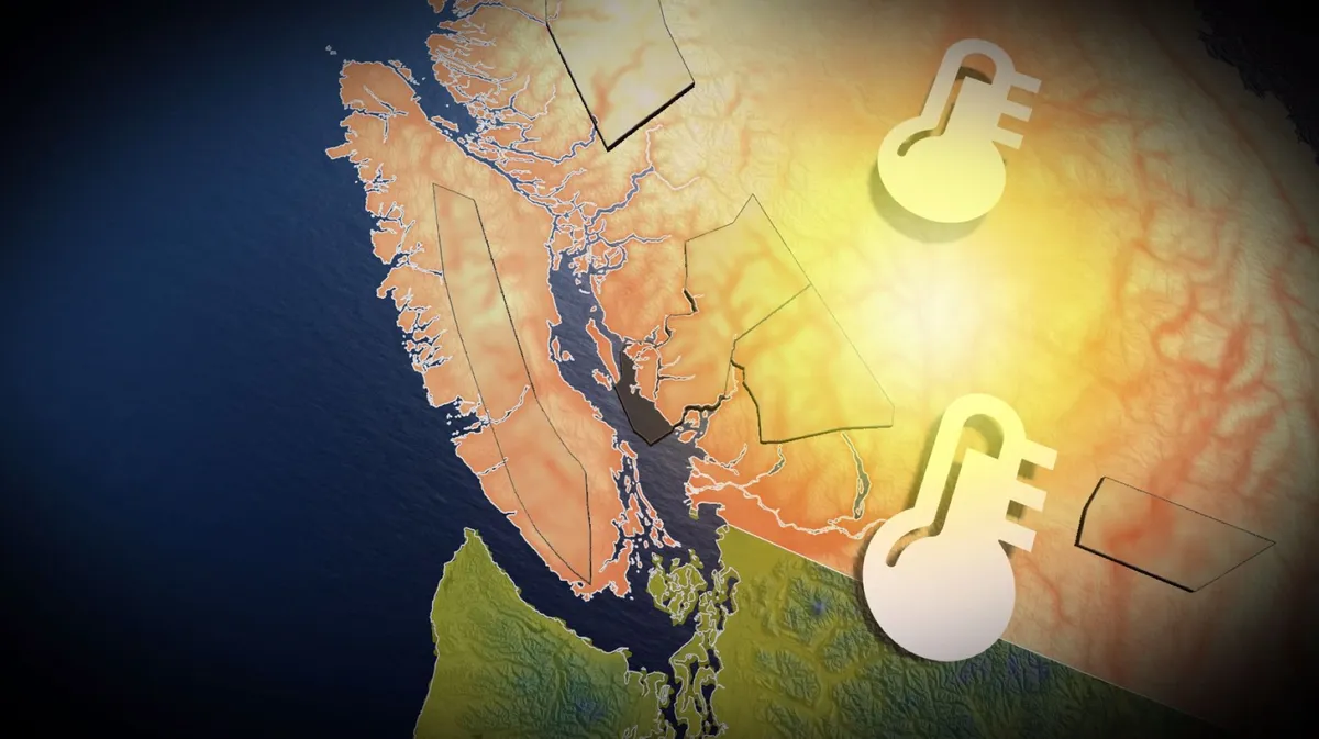
Record fall warmth sends the mercury climbing in B.C.
It is unusual to hit a temperature exceeding 20°C this late in the month at Vancouver International Airport. In fact, 21.7°C is the warmest the station has been this late in the year and the ninth-highest October temperature on record. It’s also the warmest October temperature for the station since Oct. 1, 2010: 21.8°C. The October 2022 heat event stands alone for its duration and maximum intensity as recorded across many stations in southern British Columbia. Abbotsford: 28.5°C (Oct. 15, 2022Campbell River: 26.5°C (Oct. 1, 2022)Victoria: 25.3°C (Oct. 2, 2022)Comox: 23°C (Oct. 1 and 7, 2022)The unprecedented start to Oct. 22 had Port Alberni average more than 27°C during the first nine days in October, along with many other stations in the mid-20s. Wildfire smoke and poor air quality drifted as far north as Haida Gwaii during the strong, southerly flow of record-breaking air.
Cathie Wood buys $11.8 million of tumbling tech stock - Yahoo Finance Singapore
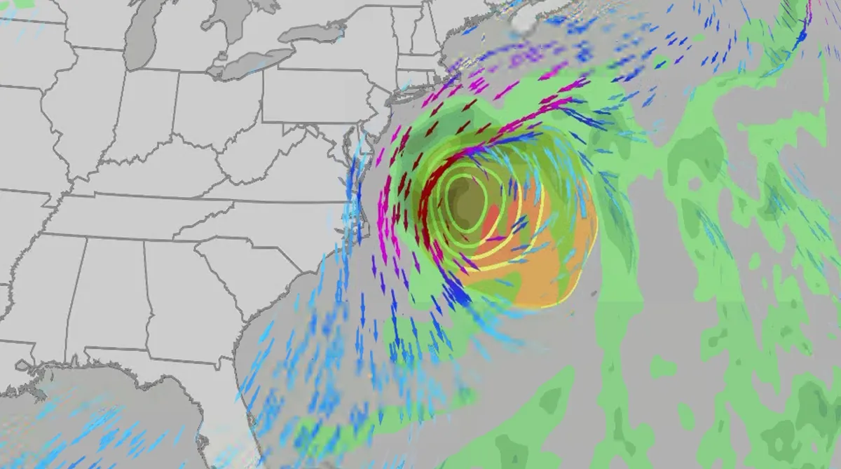
Nor' easter to bring coastal flooding, winds to East Coast
An October nor'easter is developing in the Atlantic, where it will bring high surf, rip currents, coastal flooding, winds and rain to parts of the East Coast for several days this week. The National Hurricane Center has it highlighted as an area to watch this week for potential subtropical development. However, regardless of development, this system will bring dangerous conditions to the East Coast this week. Fortunately, this system doesn't look to be as strong as the one in September. But the bad news? It could linger for much of the week, so impacts could have a longer duration than you would think. There are currently coastal flood alerts across parts of coastal North Carolina and Virginia, where anywhere from 1 to 4 feet of inundation is possible. Key takeawaysWe do not expect this storm to be as strong as the late September nor'easter. The area most likely impacted the longest appears to be from the Delmarva Peninsula to eastern North Carolina, with more models pointing to primarily eastern North Carolina.
0 comments
No comments yet. Be the first to share your thoughts!