This AI tool claims to pick the top 1% of preprints. Should researchers trust it? - Nature
This story deserves to be shared
Send it to someone who'd care, or post it on your networks.
This article is an excerpt. To read the full content, visit the original source. Nature
Related articles
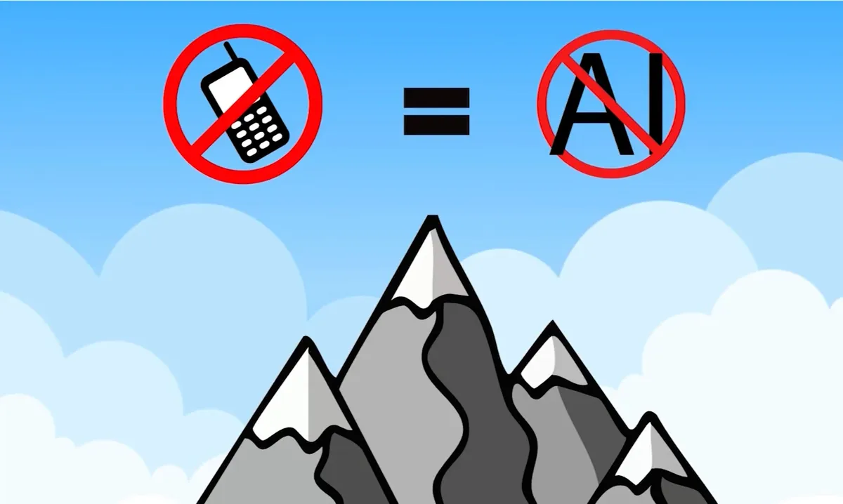
AI can be a great tool, but not if you're using it for this reason - The Weather Network
I'm not going to lie; I use AI for many of my outdoor adventures. I've found it to be a great tool for planning my marathon training schedule and finding easy hikes for my toddlers. However, one thing I would never rely on it for is planning an actual mountain route, and here's why. Recently, a 16-year-old in British Columbia had to be helicopter-rescued from a vertical cliff face on Crown Mountain in North Vancouver. He used AI to help plan his route, which led him directly into a high-risk climbing section known as the “Widowmaker. "One common misconception about AI is that it understands terrain. It can't differentiate between a scenic walking path, an unmaintained gully, or a Class 4 rock scramble. Even worse, if you lose cell service, your chatbox becomes completely useless. AI can also make mistakes. For example, it went from labeling Panorama Ridge as a strenuous hike to calling it easy terrain when questioned (demonstrated in the video above). If you're heading outdoors, it's best to skip the chatbox and use dedicated mapping tools instead. Apps like Gaia and Trailforks provide real topographic maps and elevation profiles.
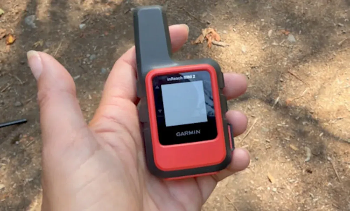
AI can be a great tool, but not if you're using it for this reason - Yahoo News Canada
I'm not going to lie; I use AI for many of my outdoor adventures. I've found it to be a great tool for planning my marathon training schedule and finding easy hikes for my toddlers. However, one thing I would never rely on it for is planning an actual mountain route, and here's why. Recently, a 16-year-old in British Columbia had to be helicopter-rescued from a vertical cliff face on Crown Mountain in North Vancouver. He used AI to help plan his route, which led him directly into a high-risk climbing section known as the "Widowmaker. "One common misconception about AI is that it understands terrain. It can't differentiate between a scenic walking path, an unmaintained gully, or a Class 4 rock scramble. Even worse, if you lose cell service, your chatbox becomes completely useless. AI can also make mistakes. For example, it went from labeling Panorama Ridge as a strenuous hike to calling it easy terrain when questioned (demonstrated in the video above). If you're heading outdoors, it's best to skip the chatbox and use dedicated mapping tools instead. Apps like Gaia and Trailforks provide real topographic maps and elevation profiles.
A new mathematical tool to uncover "who eats whom" in nature - EurekAlert! Science News Releases
Brendan Ray Builds Tool for Quantum Physics Research - Carnegie Mellon University
Integrating AI as a Human-Guided Tool in Translational Science - www.the-scientist.com
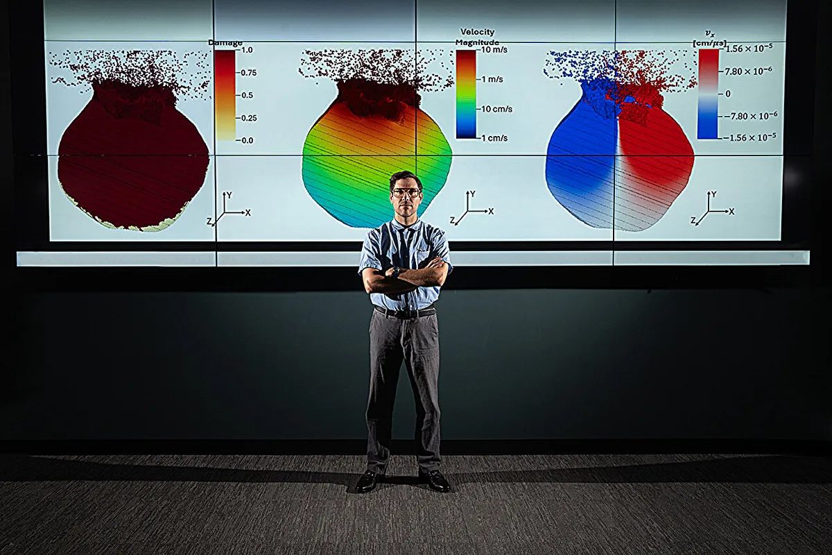
Simulations explore nuclear mitigation of asteroid threats - Phys.org
Lawrence Livermore National Laboratory researcher Isaiah Santistevan led the development of three-dimensional simulations exploring how a nuclear device could deflect or disrupt an asteroid threatening Earth. Credit: Blaise Douros/LLNL Lawrence Livermore National Laboratory (LLNL) researchers are developing three-dimensional simulations to examine how a nuclear device could be used to deflect or potentially disrupt an asteroid threatening Earth.
0 comments
No comments yet. Be the first to share your thoughts!